Braich-yr-hwch

Hill, Mountain in Merionethshire

Wales

Braich-yr-hwch

Upland valley & path above Pen y Graig with view towards Aran Fawddwy This mountain path soon zigzags up the hillside to the right.
Upland valley & path above Pen y Graig with view towards Aran Fawddwy Credit: Colin Park

The requested URL returned error: 429 Too Many Requests

If you have any feedback on the listing, please let us know in the comments section below.

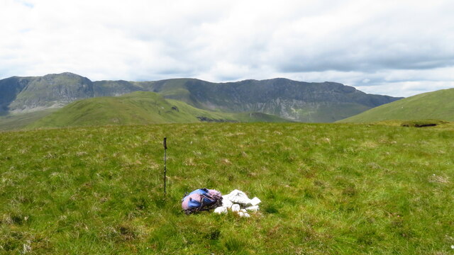
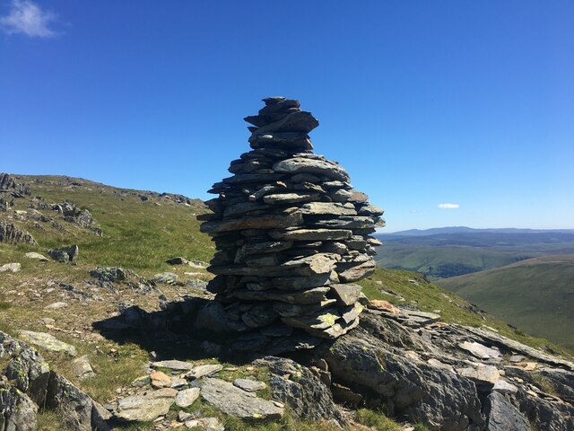
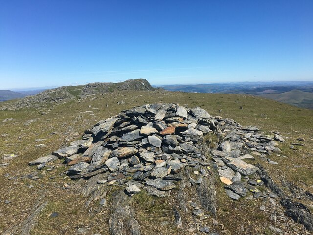
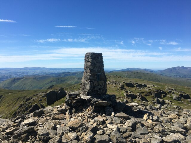
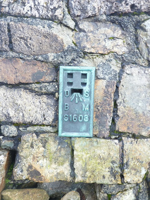
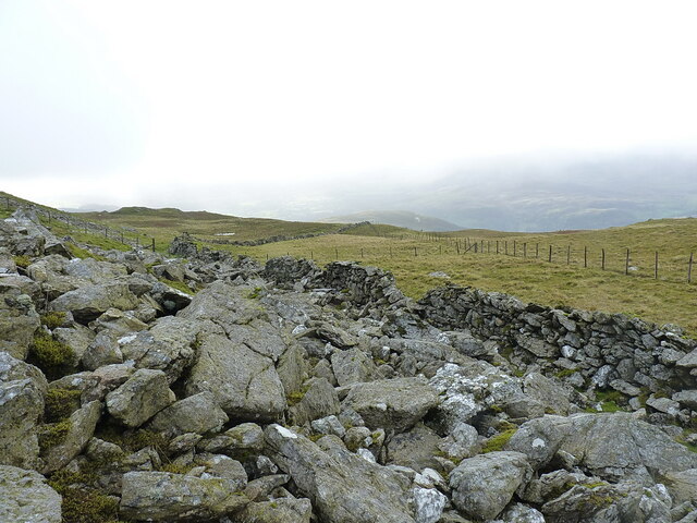
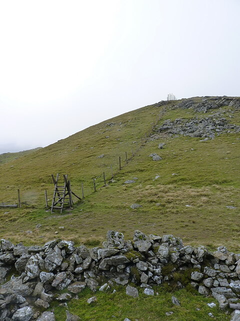
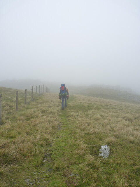
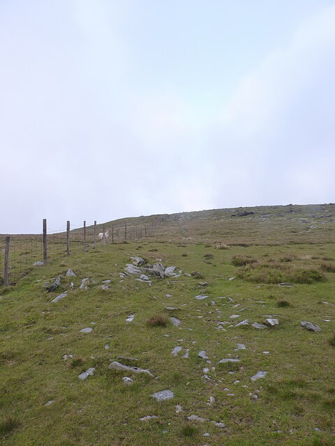
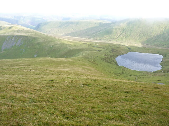
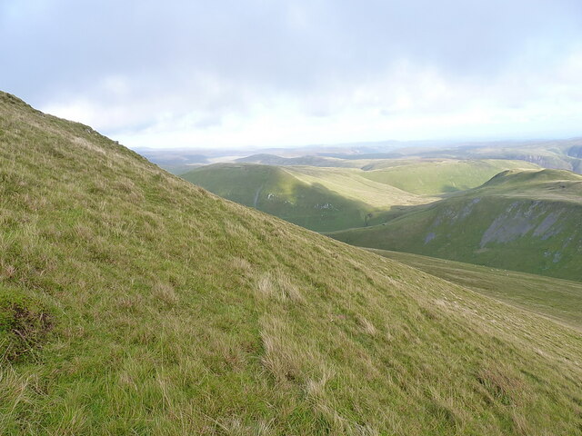
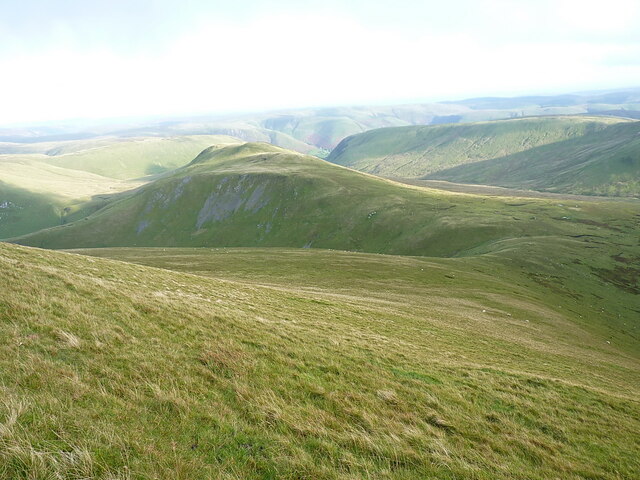
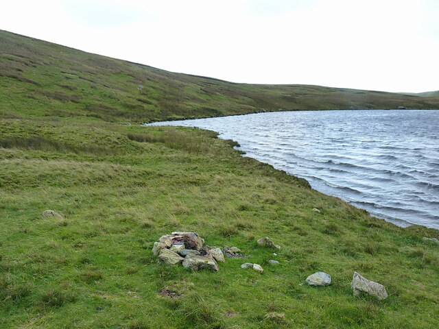
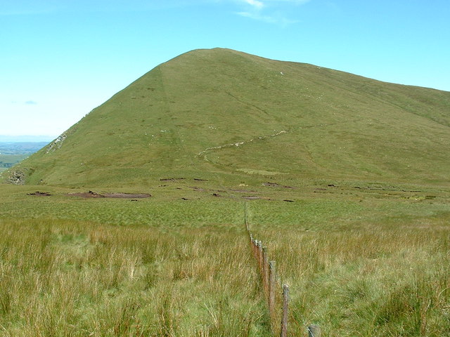
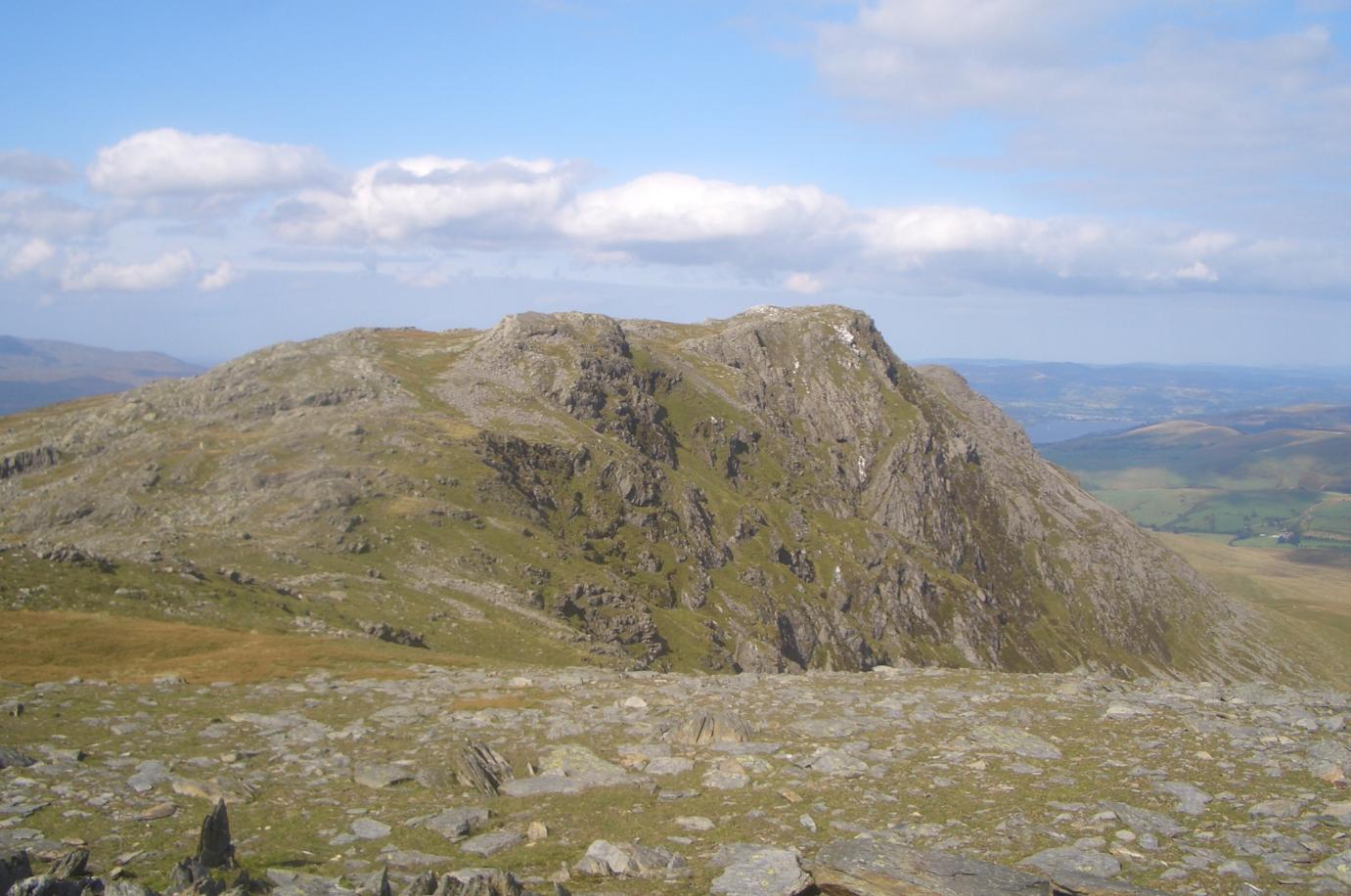
Braich-yr-hwch Images

Images are sourced within 2km of 52.796143/-3.6662121 or Grid Reference SH8723. Thanks to Geograph Open Source API. All images are credited.

Upland valley & path above Pen y Graig with view towards Aran Fawddwy This mountain path soon zigzags up the hillside to the right.
Upland valley & path above Pen y Graig with view towards Aran Fawddwy
This mountain path soon zigzags up the hillside to the right.
Small cairn on summit of Llechwedd Du with view to Arans range A small cairn marks the summit of Llechwedd Du. A sketchy path follows the fence line east to Bwlch y Groes. There are a few squelchy bits en-route but present no real problems during summer months.
Small cairn on summit of Llechwedd Du with view to Arans range
A small cairn marks the summit of Llechwedd Du. A sketchy path follows the fence line east to Bwlch y Groes. There are a few squelchy bits en-route but present no real problems during summer months.
Cairn on Erw y Ddafad ddu
Trig point atop Aran Fawddwy
Fence leading down from summit of Esgeiriau Gwynion
Bwlch Sirddyn Foel Hafod-fynydd in the distance.
Bwlch Sirddyn
Foel Hafod-fynydd in the distance.
Summit stake on Foel Rhudd 2162' / 659m The Aran ridge on the horizon.
Summit stake on Foel Rhudd 2162' / 659m
The Aran ridge on the horizon.
Flush Bracket S1608 - Aran Fawddwy Built into the base of the stone trig <a href="https://www.geograph.org.uk/photo/7223487">SH8622 : Trig point atop Aran Fawddwy</a>, and originally levelled in 1937 at 906.78m Ordnance Datum Newlyn (at which time there was a conventional concrete trig pillar here - the stone affair is a more recent addition)
Flush Bracket S1608 - Aran Fawddwy
Built into the base of the stone trig SH8622 : Trig point atop Aran Fawddwy, and originally levelled in 1937 at 906.78m Ordnance Datum Newlyn (at which time there was a conventional concrete trig pillar here - the stone affair is a more recent addition)
Walls and fences north of Aran Fawddwy A little way north of the summit area, and at the foot of a slope of jumbled blocks and scree, this old derelict stone wall and a newer fence mark (what is presumably) the boundary between two pieces of grazing land.
Walls and fences north of Aran Fawddwy
A little way north of the summit area, and at the foot of a slope of jumbled blocks and scree, this old derelict stone wall and a newer fence mark (what is presumably) the boundary between two pieces of grazing land.
A ladder stile and a fence As the path along the ridge runs north towards Aran Benllyn, the fence is crossed here by this handy ladder stile.
A ladder stile and a fence
As the path along the ridge runs north towards Aran Benllyn, the fence is crossed here by this handy ladder stile.
'Clag' A common term used by walkers for light hill mist, the inside of a cloud, a bit of temporary fog etc. Here it's not really a problem, as the way is marked by the fence on the ridge.
'Clag'
A common term used by walkers for light hill mist, the inside of a cloud, a bit of temporary fog etc. Here it's not really a problem, as the way is marked by the fence on the ridge.
Hillside on the way towards Aran Benllyn
Looking down Erw y Ddafad-ddu to Creiglyn Dyfi The lower slopes to the east of Aran Fawddwy, and realistically just about the only way down from the ridge for a mile or two in either direction without encountering some very steep ground indeed. The lake Creiglyn Dyfi is considered to be the headwaters of the Afon Dyfi, reaching the sea at Aberdyfi/Aberdovey.
Looking down Erw y Ddafad-ddu to Creiglyn Dyfi
The lower slopes to the east of Aran Fawddwy, and realistically just about the only way down from the ridge for a mile or two in either direction without encountering some very steep ground indeed. The lake Creiglyn Dyfi is considered to be the headwaters of the Afon Dyfi, reaching the sea at Aberdyfi/Aberdovey.
Grassy slopes on Erw y Ddafad-ddu This photo gives a good idea of the angle of the slope from the Aran ridge down to Creiglyn Dyfi - it's all walkable in either direction, but carrying a big pack it can become a bit of a drag. The view is northeast towards the hills around Cwm-ffynnon.
Grassy slopes on Erw y Ddafad-ddu
This photo gives a good idea of the angle of the slope from the Aran ridge down to Creiglyn Dyfi - it's all walkable in either direction, but carrying a big pack it can become a bit of a drag. The view is northeast towards the hills around Cwm-ffynnon.
Down Erw y Ddafad-ddu towards Foel Hafod-fynydd Pretty much the opposing view to that seen in <a href="https://www.geograph.org.uk/photo/6490135">SH8623 : Erw y Ddafad-ddu as seen from Foel Hafod-fynydd</a>
Down Erw y Ddafad-ddu towards Foel Hafod-fynydd
Pretty much the opposing view to that seen in SH8623 : Erw y Ddafad-ddu as seen from Foel Hafod-fynydd
Evidence of dirty wild-campers Or 'fly-campers' which is the term that is coming to prominence. The concepts of 'Tread lightly and leave no trace' don't seem to be as well respected as they once were in the hills; here someone has pulled a ring of stones together and lit an open fire (God knows where they obtained the wood, there's no trees for miles) and then left the following day, with no effort to put things back as they were. I'd happily drown them, frankly.
My brother and I might have camped here ourselves, but there was a howling gale blowing straight across the lake, and it wouldn't have been practical.
Evidence of dirty wild-campers
Or 'fly-campers' which is the term that is coming to prominence. The concepts of 'Tread lightly and leave no trace' don't seem to be as well respected as they once were in the hills; here someone has pulled a ring of stones together and lit an open fire (God knows where they obtained the wood, there's no trees for miles) and then left the following day, with no effort to put things back as they were. I'd happily drown them, frankly. My brother and I might have camped here ourselves, but there was a howling gale blowing straight across the lake, and it wouldn't have been practical.
Campsite by the streams We'd originally planned to camp beside Creiglyn Dyfi <a href="https://www.geograph.org.uk/photo/2386301">SH8622 : Creiglyn Dyfi from the south</a> but there was a bit of a gale blowing up there, so we dropped down beside the infant Afon Dyfi to this flatter, sheltered cwm. The location is just a few yards offshot in the bottom-right corner of the photo linked above.
For the cognescenti, yes, that brown tent I'm using is indeed a 40-year-old Phoenix Phreak; the poles need new shockcord in them, but otherwise it's perfectly serviceable.
Campsite by the streams
We'd originally planned to camp beside Creiglyn Dyfi SH8622 : Creiglyn Dyfi from the south but there was a bit of a gale blowing up there, so we dropped down beside the infant Afon Dyfi to this flatter, sheltered cwm. The location is just a few yards offshot in the bottom-right corner of the photo linked above. For the cognescenti, yes, that brown tent I'm using is indeed a 40-year-old Phoenix Phreak; the poles need new shockcord in them, but otherwise it's perfectly serviceable.
Show me another place!

Braich-yr-hwch is located at Grid Ref: SH8723 (Lat: 52.796143, Lng: -3.6662121)

Unitary Authority: Gwynedd

Police Authority: North Wales

What 3 Words

///unhelpful.nursery.spite. Near Llanuwchllyn, Gwynedd

Nearby Locations

Braich-yr-hwch Cwm Llwydd

Related Wikis

Esgeiriau Gwynion

Esgeiriau Gwynion (Welsh for "white shanks") is a mountain in north Wales. It is the smallest of the three Marilyns that form the Aran range, the others...

Gwaun y Llwyni

Gwaun y Llwyni is a subsidiary summit of Aran Fawddwy in southern Snowdonia, Wales. It forms a part of the Aran mountain range. The peak's southern face...

Aran Benllyn

Aran Benllyn is a subsidiary summit of Aran Fawddwy in southern Snowdonia, North Wales, Wales, United Kingdom. It is the second highest peak in the Aran...

Foel Hafod-fynydd

Foel Hafod-fynydd is a subsidiary summit of Aran Fawddwy in southern Snowdonia, North Wales, Wales, United Kingdom. It tops the east ridge of Erw y Ddafad...

Nearby Amenities

Located within 500m of 52.796143,-3.6662121
Braich-yr-hwch
Ele: 577
Natural: peak
Lat/Long: 52.796175/-3.66624
Ford: yes
Lat/Long: 52.7998376/-3.6703227
The data included in this document is from www.openstreetmap.org. The data is made available under ODbL.

Have you been to Braich-yr-hwch?

Leave your review of Braich-yr-hwch below (or comments, questions and feedback).