Auchenhay Hill

Hill, Mountain in Kirkcudbrightshire

Scotland

Auchenhay Hill

Lane to Burnside A fine, agricultural landscape with abundant trees.
Lane to Burnside Credit: Jonathan Wilkins

Auchenhay Hill is a prominent hill located in the historical county of Kirkcudbrightshire in southwestern Scotland. Situated near the village of Parton, the hill is known for its picturesque beauty and breathtaking views of the surrounding countryside.

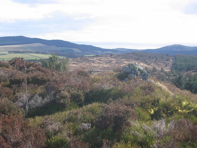
Rising to a height of approximately 417 meters (1,368 feet), Auchenhay Hill dominates the local landscape and offers a popular destination for hikers, nature enthusiasts, and outdoor adventurers. The hill is easily accessible, with several well-established footpaths leading to its summit.

The walk to the top of Auchenhay Hill is relatively moderate, making it suitable for individuals of varying fitness levels. As visitors ascend, they can enjoy the diverse flora and fauna that call the hillside home. The surrounding area is known for its rich biodiversity, with a variety of plants, flowers, and wildlife species thriving in this habitat.

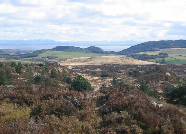
Once at the summit, visitors are rewarded with panoramic views of the rolling hills, verdant valleys, and sparkling lochs that make up the Kirkcudbrightshire countryside. On a clear day, it is even possible to catch a glimpse of the distant Galloway Hills to the north.

Auchenhay Hill is a place of natural beauty and tranquility, offering a peaceful retreat from the hustle and bustle of everyday life. Whether it be for a leisurely stroll, a challenging hike, or simply to admire the stunning scenery, this hill is a must-visit destination for those exploring the Kirkcudbrightshire region.

If you have any feedback on the listing, please let us know in the comments section below.

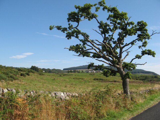
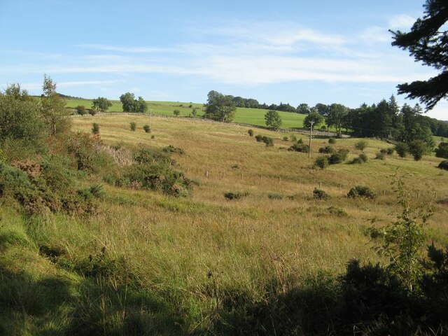
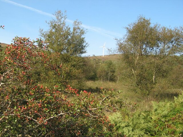
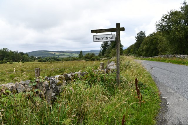
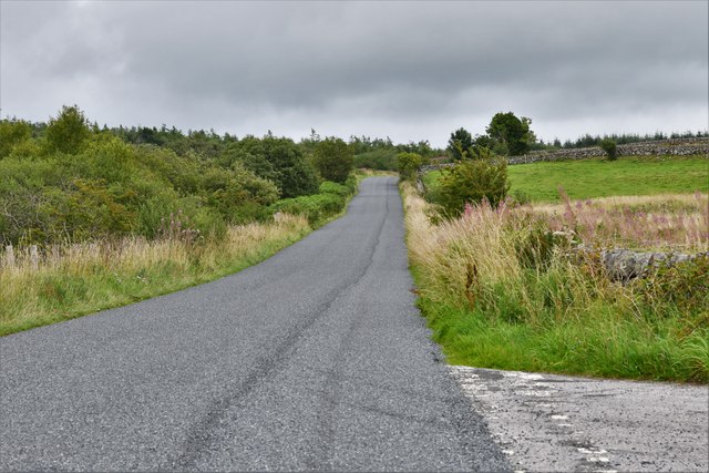
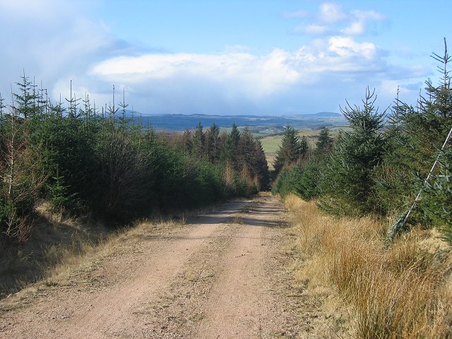
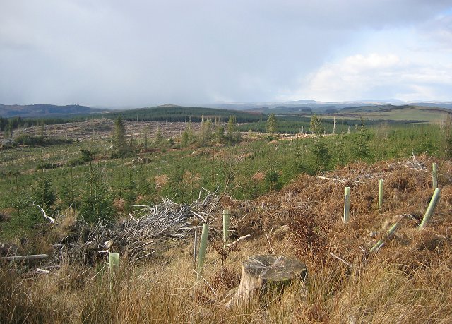
Auchenhay Hill Images

Images are sourced within 2km of 54.917662/-3.7566554 or Grid Reference NX8759. Thanks to Geograph Open Source API. All images are credited.

Lane to Burnside A fine, agricultural landscape with abundant trees.
Lane to Burnside
A fine, agricultural landscape with abundant trees.
Fields by Barscraigh A view over the fields by Barscraigh and the edge of the Dalbeattie Forest.
Fields by Barscraigh
A view over the fields by Barscraigh and the edge of the Dalbeattie Forest.
Farmland with roadside tree Something like topiary in this roadside tree by Auchenhay.
Farmland with roadside tree
Something like topiary in this roadside tree by Auchenhay.
Rushy fields Damp fields with a line of trees following the drain and the road.
Rushy fields
Damp fields with a line of trees following the drain and the road.
Field-side drain Drains on damp, level fields by the watershed.
Field-side drain
Drains on damp, level fields by the watershed.
Track in the forest This track through young growth of trees runs over bare granite outcrop in places, with heather and moss making a pleasant carpet.
Track in the forest
This track through young growth of trees runs over bare granite outcrop in places, with heather and moss making a pleasant carpet.
Roadside rowans Fabulous crops of rowan berries at the roadside on the margin of the Auchenhay Forest.
Roadside rowans
Fabulous crops of rowan berries at the roadside on the margin of the Auchenhay Forest.
Moorland below Banks Hill A paradox, with improved grazing at higher altitude than the rougher moorland.
Moorland below Banks Hill
A paradox, with improved grazing at higher altitude than the rougher moorland.
Turbine on Auchenlosh Hill A view to the moorland of Auchenlosh Hill over a wet area with rushes and birch trees. Hawthorn at the roadside is showing a good crop of berries.
Turbine on Auchenlosh Hill
A view to the moorland of Auchenlosh Hill over a wet area with rushes and birch trees. Hawthorn at the roadside is showing a good crop of berries.
Roadside bench A bench fashioned from pieces of natural wood in a peaceful spot in sheep pastures. Sadly, the view from the bench was compromised by sun shining straight into the camera, so I was unable capture the wider scene.
Roadside bench
A bench fashioned from pieces of natural wood in a peaceful spot in sheep pastures. Sadly, the view from the bench was compromised by sun shining straight into the camera, so I was unable capture the wider scene.
Sheep pasture near Drumstinchall Verdant pasture seen over the field gate.
Sheep pasture near Drumstinchall
Verdant pasture seen over the field gate.
Sandyhills: A small wooded area
Sandyhills: Drumstinchall Farm
Sandyhills: The B793 recently surfaced
Forest road on Clawbelly Hill. Second generation plantings. View northwest to snowshowers crossing the Galloway Hills.
Forest road on Clawbelly Hill.
Second generation plantings. View northwest to snowshowers crossing the Galloway Hills.
Clawbelly Hill. Rough ground with exposed granite and many knolls and bogs. View south with the snow covered Lake District hills across the Solway Firth.
Clawbelly Hill.
Rough ground with exposed granite and many knolls and bogs. View south with the snow covered Lake District hills across the Solway Firth.
Clawbelly Hill. View west from the summit over a felled and replanted area of forest.
Clawbelly Hill.
View west from the summit over a felled and replanted area of forest.
Clawbelly Hill summit. The heathery summit with a view south to St Bee's Head.
Clawbelly Hill summit.
The heathery summit with a view south to St Bee's Head.
Show me another place!

Auchenhay Hill is located at Grid Ref: NX8759 (Lat: 54.917662, Lng: -3.7566554)

Unitary Authority: Dumfries and Galloway

Police Authority: Dumfries and Galloway

What 3 Words

///still.perusing.caps. Near Dalbeattie, Dumfries & Galloway

Nearby Locations

Auchenhay Hill

Related Wikis

Dalbeattie Star F.C.

Dalbeattie Star Football Club is a Scottish association football club based in Dalbeattie, Dumfries and Galloway. It currently competes in the South of...

Southwick railway station (Scotland)

Southwick (Dumfries & Galloway) railway station served the civil parish of Colvend and Southwick, Dumfries and Galloway, Scotland from 1859 to 1965 on...

Dalbeattie

Dalbeattie (, Scots: Dawbeattie, Scottish Gaelic: Dail Bheithe meaning 'haugh of the birch' or Dail bhàite 'drowned (i.e. liable to flood) haugh') is a...

Dalbeattie Town Hall

Dalbeattie Town Hall is a municipal building in the High Street in Dalbeattie, Dumfries and Galloway, Scotland. The structure, which is used as community...

Nearby Amenities

Located within 500m of 54.917662,-3.7566554
Drumstinchall
Natural: peak
Lat/Long: 54.9198002/-3.7519384
The data included in this document is from www.openstreetmap.org. The data is made available under ODbL.

Have you been to Auchenhay Hill?

Leave your review of Auchenhay Hill below (or comments, questions and feedback).