Barnbackle Hill

Hill, Mountain in Kirkcudbrightshire

Scotland

Barnbackle Hill

Entrance to Bettyknowes Farm
Entrance to Bettyknowes Farm Credit: Steven Brown

Barnbackle Hill is a prominent hill located in the region of Kirkcudbrightshire, in the southern part of Scotland. It is situated approximately 5 miles southeast of the town of Kirkcudbright and stands at an elevation of 349 meters (1,145 feet) above sea level.

The hill is known for its distinctive cone-shaped summit, which is covered in heather and grasses. The slopes of Barnbackle Hill are mainly comprised of grassland and heath, with scattered patches of woodland. It offers breathtaking views of the surrounding countryside, including the rolling hills and valleys of Kirkcudbrightshire.

Barnbackle Hill is a popular destination for outdoor enthusiasts, hikers, and nature lovers. There are several walking trails that lead to the summit, providing visitors with the opportunity to explore the diverse flora and fauna of the area. The hill is home to various species of birds, including red grouse and skylarks, which can often be spotted during the ascent.

The hill's location near Kirkcudbright makes it easily accessible for both locals and tourists. It offers a peaceful and tranquil setting, perfect for those seeking a break from the hustle and bustle of everyday life. Whether it is a leisurely stroll or a more challenging hike, Barnbackle Hill provides an enjoyable and rewarding experience for all who venture to its summit.

If you have any feedback on the listing, please let us know in the comments section below.

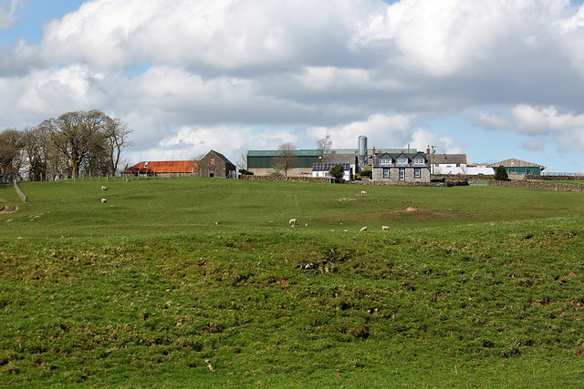
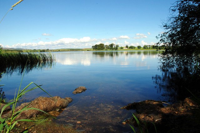
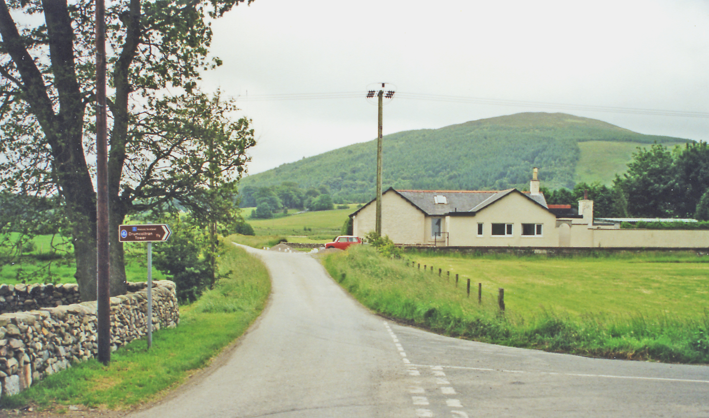
Barnbackle Hill Images

Images are sourced within 2km of 55.039872/-3.7637851 or Grid Reference NX8773. Thanks to Geograph Open Source API. All images are credited.

Entrance to Bettyknowes Farm
Henderland farm yard
Sheep with lambs at Barnbackle
The triangulation pillar on Barnbackle Hill The trig point is in a grazing field at 184m with a flush bracket number S7916.
The triangulation pillar on Barnbackle Hill
The trig point is in a grazing field at 184m with a flush bracket number S7916.
Sheep and lambs on Barnbackle Hill The sheep were near the trig point on the hill.
Sheep and lambs on Barnbackle Hill
The sheep were near the trig point on the hill.
Barnbackle Farm The farm was viewed from the Old Military Road.
Barnbackle Farm
The farm was viewed from the Old Military Road.
Whiteyard Farm The farm was viewed from a grazing field on Barnbackle Hill.
Whiteyard Farm
The farm was viewed from a grazing field on Barnbackle Hill.
The Old Military Road at Barnbackle
Old Milestone by Merkland, Lochrutton Parish Affleck by the A75, in parish of Lochrutton (Stewartry District), Merkland East of farm, on verge near hedge, North side of road.

Inscription reads:- : C / {arrow} / 12 : : D / {arrow} / 5¾ : 
(To Castle Douglas and Dumfries)

Surveyed

Milestone Society National ID: DG_PPLN78
Old Milestone by Merkland, Lochrutton Parish
Affleck by the A75, in parish of Lochrutton (Stewartry District), Merkland East of farm, on verge near hedge, North side of road. Inscription reads:- : C / {arrow} / 12 : : D / {arrow} / 5¾ : (To Castle Douglas and Dumfries) Surveyed Milestone Society National ID: DG_PPLN78
Route 75 Diner The A75 is a Primary Trunk Road; the main through route for traffic between northern England and Northern Ireland (more specifically the ferry terminal from Cairnryan to Belfast and Larne). It runs for 95½ miles between Stranraer and the A74(M) at Gretna, close to the Border with England and the M6 Motorway. Although it is an important trunk route (it is also a Euroroute, the E18), and has been subject to a number of upgrades over the years, the majority of the road is still single-carriageway although there are a few short dual carriageway sections and some three-lane sections which allow overtaking in one direction.
Route 75 Diner
The A75 is a Primary Trunk Road; the main through route for traffic between northern England and Northern Ireland (more specifically the ferry terminal from Cairnryan to Belfast and Larne). It runs for 95½ miles between Stranraer and the A74(M) at Gretna, close to the Border with England and the M6 Motorway. Although it is an important trunk route (it is also a Euroroute, the E18), and has been subject to a number of upgrades over the years, the majority of the road is still single-carriageway although there are a few short dual carriageway sections and some three-lane sections which allow overtaking in one direction.
A75 near Shawhead The A75 is a Primary Trunk Road; the main through route for traffic between northern England and Northern Ireland (more specifically the ferry terminal from Cairnryan to Belfast and Larne). It runs for 95½ miles between Stranraer and the A74(M) at Gretna, close to the Border with England and the M6 Motorway. Although it is an important trunk route (it is also a Euroroute, the E18), and has been subject to a number of upgrades over the years, the majority of the road is still single-carriageway although there are a few short dual carriageway sections and some three-lane sections which allow overtaking in one direction.
A75 near Shawhead
The A75 is a Primary Trunk Road; the main through route for traffic between northern England and Northern Ireland (more specifically the ferry terminal from Cairnryan to Belfast and Larne). It runs for 95½ miles between Stranraer and the A74(M) at Gretna, close to the Border with England and the M6 Motorway. Although it is an important trunk route (it is also a Euroroute, the E18), and has been subject to a number of upgrades over the years, the majority of the road is still single-carriageway although there are a few short dual carriageway sections and some three-lane sections which allow overtaking in one direction.
Eastbound A75 The A75 is a Primary Trunk Road; the main through route for traffic between northern England and Northern Ireland (more specifically the ferry terminal from Cairnryan to Belfast and Larne). It runs for 95½ miles between Stranraer and the A74(M) at Gretna, close to the Border with England and the M6 Motorway. Although it is an important trunk route (it is also a Euroroute, the E18), and has been subject to a number of upgrades over the years, the majority of the road is still single-carriageway although there are a few short dual carriageway sections and some three-lane sections which allow overtaking in one direction.
Eastbound A75
The A75 is a Primary Trunk Road; the main through route for traffic between northern England and Northern Ireland (more specifically the ferry terminal from Cairnryan to Belfast and Larne). It runs for 95½ miles between Stranraer and the A74(M) at Gretna, close to the Border with England and the M6 Motorway. Although it is an important trunk route (it is also a Euroroute, the E18), and has been subject to a number of upgrades over the years, the majority of the road is still single-carriageway although there are a few short dual carriageway sections and some three-lane sections which allow overtaking in one direction.
Pasture, Rigfoot Two hares pass a pipeline marker.
Pasture, Rigfoot
Two hares pass a pipeline marker.
Cones, Rigfoot The Old Military Road.
Cones, Rigfoot
The Old Military Road.
Pasture near Barbackle With a wetland hollow.
Pasture near Barbackle
With a wetland hollow.
Three Crofts The ground is higher here than further west and more sheep can be seen as opposed to Friesian cows.
Three Crofts
The ground is higher here than further west and more sheep can be seen as opposed to Friesian cows.
Barnbackle Hill Beside the Old Military Road.
Barnbackle Hill
Beside the Old Military Road.
Grazing cattle, Slacks
Show me another place!

Barnbackle Hill is located at Grid Ref: NX8773 (Lat: 55.039872, Lng: -3.7637851)

Unitary Authority: Dumfries and Galloway

Police Authority: Dumfries and Galloway

What 3 Words

///momentous.tomorrow.gracing. Near Dumfries, Dumfries & Galloway

Related Wikis

Lochrutton Loch

Lochrutton Loch is a large, lowland freshwater loch that lies to the west of Dumfries, Scotland. The loch trends from north to south and is 0.75 mi (1...

Milton Loch

Milton Loch is an alkaline freshwater loch located in Dumfries and Galloway, Scotland. In the loch and nearby are archaeological sites including three...
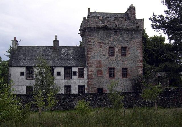
Hills Tower

Hills Tower is a sixteenth-century square tower house, with an adjoining eighteenth-century wing, near Dumfries in Scotland. Originally built around 1527...

Killywhan railway station

Killywhan railway station served the hamlet of Killywhan, Dumfries and Galloway, Scotland from 1859 to 1959 on the Castle Douglas and Dumfries Railway...

Crocketford

Crocketford (/ˈkrɒkɪtfɔːd/, also frequently /ˈkrɒkɪtfəd/) also known as Ninemile Bar (Scottish Gaelic: Ath Crogaid), as it is approximately equidistant...

Beeswing, Dumfries and Galloway

Beeswing is a small village in the historical county of Kirkcudbrightshire in Scotland. == Etymology == Before Beeswing became known as Beeswing, it was...

Lochanhead railway station

Lochanhead railway station served the settlement of Lochanhead, Dumfries and Galloway, Scotland from 1859 to 1965 on the Castle Douglas and Dumfries Railway...

Easthill stone circle

Easthill stone circle (grid reference NX91937388), also known as the Seven Grey Stanes, is a small oval stone circle 3¾ miles south-west of Dumfries. Eight...

Nearby Amenities

Located within 500m of 55.039872,-3.7637851
Barnbauchle Hill
Ele: 184
Man Made: survey_point
Natural: peak
Source: os7
Lat/Long: 55.0396248/-3.7636252
The data included in this document is from www.openstreetmap.org. The data is made available under ODbL.

Have you been to Barnbackle Hill?

Leave your review of Barnbackle Hill below (or comments, questions and feedback).