Carn na Sguabaich

Hill, Mountain in Nairnshire

Scotland

Carn na Sguabaich

Grouse moor above Daless Ford over the River Findhorn in the foreground and extensive range of estate track on the grouse moor.
Grouse moor above Daless Credit: valenta

Carn na Sguabaich is a prominent hill located in the county of Nairnshire, in the Highlands region of Scotland. It is situated about 10 miles southeast of the town of Nairn and stands at an elevation of approximately 417 meters (1,368 feet) above sea level. The hill is part of the larger Culbin Forest, a vast woodland that covers a significant portion of the area.

Carn na Sguabaich offers stunning panoramic views of the surrounding countryside, including the Moray Firth to the north and the expansive Culbin Sands to the east. The hill is characterized by its gentle slopes and rolling terrain, making it a popular destination for hikers, nature enthusiasts, and photographers.

The hill is covered with a mixture of heather, grasses, and scattered trees, creating a diverse habitat for various flora and fauna. Visitors to Carn na Sguabaich may encounter a range of wildlife, including red deer, rabbits, and a variety of bird species.

Access to the hill is relatively easy, with several well-marked trails and paths leading to the summit. The ascent is not particularly strenuous, making it suitable for individuals of varying fitness levels. Additionally, the hill is located in close proximity to other natural attractions, such as the Culbin Sands Nature Reserve, providing visitors with the opportunity to explore multiple areas of natural beauty in one trip.

Overall, Carn na Sguabaich offers a captivating blend of natural beauty, tranquility, and recreational opportunities, making it a popular destination for both locals and tourists alike.

If you have any feedback on the listing, please let us know in the comments section below.

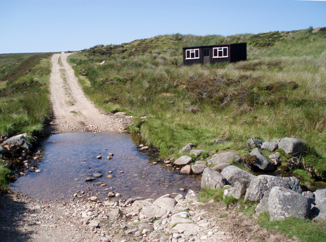
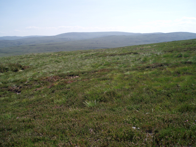
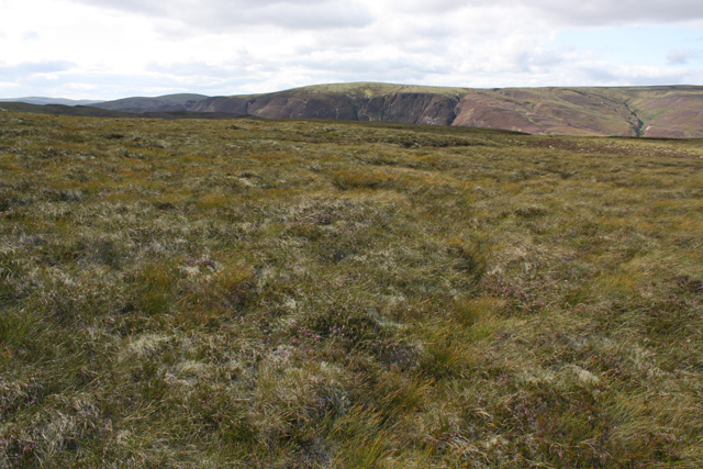
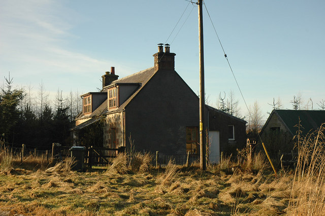
Carn na Sguabaich Images

Images are sourced within 2km of 57.408602/-3.8763507 or Grid Reference NH8736. Thanks to Geograph Open Source API. All images are credited.

Grouse moor above Daless Ford over the River Findhorn in the foreground and extensive range of estate track on the grouse moor.
Grouse moor above Daless
Ford over the River Findhorn in the foreground and extensive range of estate track on the grouse moor.
Estate track west of Allt Carn an t-Sean-liathanaich Following the burn downstream towards Rhilean.  2/3 of this square is inside the boundary of Tom nan Clach windfarm which has recently been given planning permission by the Scottish Government after being refused by Highland Council:  <span class="nowrap"><a title="http://www.tomnanclachwindfarm.co.uk/" rel="nofollow ugc noopener" href="http://www.tomnanclachwindfarm.co.uk/">Link</a><img style="margin-left:2px;" alt="External link" title="External link - shift click to open in new window" src="https://s1.geograph.org.uk/img/external.png" width="10" height="10"/></span>
Estate track west of Allt Carn an t-Sean-liathanaich
Following the burn downstream towards Rhilean. 2/3 of this square is inside the boundary of Tom nan Clach windfarm which has recently been given planning permission by the Scottish Government after being refused by Highland Council: LinkExternal link
Track junction on moorland Cawdor Estate tracks on grouse moors alongside Allt Carn an t-Sean-liathanaich.
Track junction on moorland
Cawdor Estate tracks on grouse moors alongside Allt Carn an t-Sean-liathanaich.
Allt Carn an t-Sean-liathanaich The burn meandering through moorland on Cawdor Estate.
Allt Carn an t-Sean-liathanaich
The burn meandering through moorland on Cawdor Estate.
Bothy beside a ford A Cawdor Estate track crosses Allt an t-Slugain Mhoir close to an Estate bothy.
Bothy beside a ford
A Cawdor Estate track crosses Allt an t-Slugain Mhoir close to an Estate bothy.
Junction of moorland tracks On Cawdor Estate grouse moors near Rhilean
Junction of moorland tracks
On Cawdor Estate grouse moors near Rhilean
Moorland south of Carn na Sguabaich A view about to change with the construction of Tom nan Clach windfarm which has recently been given planning permission by the Scottish Government after being refused by Highland Council:  <span class="nowrap"><a title="http://www.tomnanclachwindfarm.co.uk/" rel="nofollow ugc noopener" href="http://www.tomnanclachwindfarm.co.uk/">Link</a><img style="margin-left:2px;" alt="External link" title="External link - shift click to open in new window" src="https://s1.geograph.org.uk/img/external.png" width="10" height="10"/></span>
Moorland south of Carn na Sguabaich
A view about to change with the construction of Tom nan Clach windfarm which has recently been given planning permission by the Scottish Government after being refused by Highland Council: LinkExternal link
Estate track near Drynachan This track comes up from Drynachan Lodge on the River Findhorn to grouse moors.  It is also a through route to Duthil on the River Dulnain.
Estate track near Drynachan
This track comes up from Drynachan Lodge on the River Findhorn to grouse moors. It is also a through route to Duthil on the River Dulnain.
Ford, Allt a' Choire Estate track on Cawdor Estate grouse moors.  Very little water in the burn after a long spell of dry weather.
Ford, Allt a' Choire
Estate track on Cawdor Estate grouse moors. Very little water in the burn after a long spell of dry weather.
Moorland north of Tom nan Clach Cawdor Estate grouse moors.  All of this square is inside the boundary of Tom nan Clach windfarm which has recently been given planning permission by the Scottish Government after being refused by Highland Council:  <span class="nowrap"><a title="http://www.tomnanclachwindfarm.co.uk" rel="nofollow ugc noopener" href="http://www.tomnanclachwindfarm.co.uk">Link</a><img style="margin-left:2px;" alt="External link" title="External link - shift click to open in new window" src="https://s1.geograph.org.uk/img/external.png" width="10" height="10"/></span>
Moorland north of Tom nan Clach
Cawdor Estate grouse moors. All of this square is inside the boundary of Tom nan Clach windfarm which has recently been given planning permission by the Scottish Government after being refused by Highland Council: LinkExternal link
Moorland NW of Tom nan Clach Cawdor Estate grouse moors east of the River Findhorn.  Normally very boggy ground but dry underfoot today after a long spell of good weather. Most of this square is inside the boundary of Tom nan Clach windfarm which has recently been given planning permission by the Scottish Government after being refused by Highland Council: <span class="nowrap"><a title="http://www.tomnanclachwindfarm.co.uk" rel="nofollow ugc noopener" href="http://www.tomnanclachwindfarm.co.uk">Link</a><img style="margin-left:2px;" alt="External link" title="External link - shift click to open in new window" src="https://s1.geograph.org.uk/img/external.png" width="10" height="10"/></span>
Moorland NW of Tom nan Clach
Cawdor Estate grouse moors east of the River Findhorn. Normally very boggy ground but dry underfoot today after a long spell of good weather. Most of this square is inside the boundary of Tom nan Clach windfarm which has recently been given planning permission by the Scottish Government after being refused by Highland Council: LinkExternal link
Moorland SW of Carn Mor East of the River Findhorn on Cawdor Estate.
Moorland SW of Carn Mor
East of the River Findhorn on Cawdor Estate.
Moorland west of Carn Mor Looking towards hills on the west side of the River Findhorn from Cawdor Estate grouse moors.
Moorland west of Carn Mor
Looking towards hills on the west side of the River Findhorn from Cawdor Estate grouse moors.
Track SE of Carn Mor On Cawdor Estate grouse moors, this view will soon look very different.  This is the site of Tom nan Clach windfarm which has recently been given planning permission by the Scottish Government after being refused by Highland Council: <span class="nowrap"><a title="http://www.tomnanclachwindfarm.co.uk/" rel="nofollow ugc noopener" href="http://www.tomnanclachwindfarm.co.uk/">Link</a><img style="margin-left:2px;" alt="External link" title="External link - shift click to open in new window" src="https://s1.geograph.org.uk/img/external.png" width="10" height="10"/></span>
Track SE of Carn Mor
On Cawdor Estate grouse moors, this view will soon look very different. This is the site of Tom nan Clach windfarm which has recently been given planning permission by the Scottish Government after being refused by Highland Council: LinkExternal link
Remains of a fence on Carn Mor A few posts remain on the surface, with most of the wires buried in peat. This was probably the boundary of hill ground belonging to Quilichan farm
Remains of a fence on Carn Mor
A few posts remain on the surface, with most of the wires buried in peat. This was probably the boundary of hill ground belonging to Quilichan farm
A moorland ditch Boggy moorland in this area has many drainage ditches.
A moorland ditch
Boggy moorland in this area has many drainage ditches.
Daless The River Findhorn erodes away the slope beyond, and creates farmland by depositing alluvium on the inside of the meander.
Daless
The River Findhorn erodes away the slope beyond, and creates farmland by depositing alluvium on the inside of the meander.
Plain of the River Findhorn near Daless Looking N from position
Plain of the River Findhorn near Daless
Looking N from position
Show me another place!

Carn na Sguabaich is located at Grid Ref: NH8736 (Lat: 57.408602, Lng: -3.8763507)

Unitary Authority: Highland

Police Authority: Highlands and Islands

What 3 Words

///tastings.feels.outlast. Near Balloch, Highland

Nearby Locations

Carn na Sguabaich

Related Wikis

Inverness, Nairn, Badenoch and Strathspey (UK Parliament constituency)

Inverness, Nairn, Badenoch and Strathspey is a constituency of the House of Commons of the UK Parliament. As with all seats since 1950 it elects one Member...

Balvraid

Balvraid (Scottish Gaelic: Baile a' Bhràghaid) is a small remote settlement, located 8 miles south east of Inverness in Inverness-shire, Scottish Highlands...

Dunearn

Dunearn is a hill fort located 15 kilometres (9.3 mi) south south east of Nairn in Highland, Scotland. It is situated on a steep-sided hill called Doune...

Diocese of Moray

The Diocese of Moray was one of the most important of the medieval dioceses of the Roman Catholic Church in Scotland. Its territory was in central northern...

Have you been to Carn na Sguabaich?

Leave your review of Carn na Sguabaich below (or comments, questions and feedback).