Carn Maol
Hill, Mountain in Nairnshire
Scotland
Carn Maol
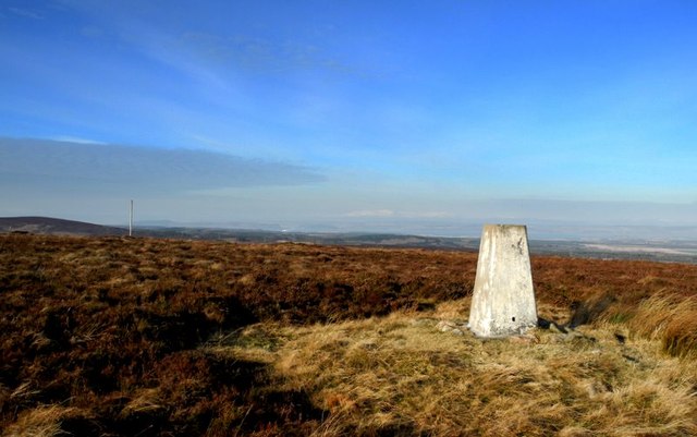
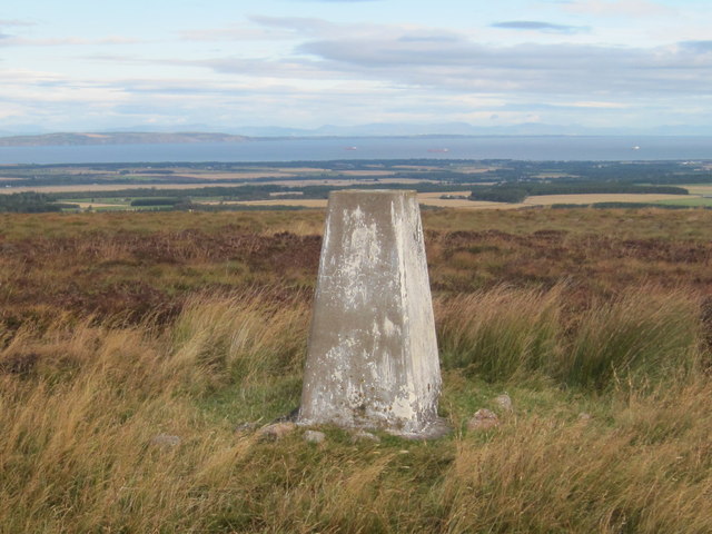
Carn Maol is a prominent hill located in the county of Nairnshire in the Highlands of Scotland. Standing at an elevation of 404 meters (1,325 feet), it is classified as a hill rather than a mountain. Despite its relatively modest height, Carn Maol offers breathtaking views of the surrounding countryside and coastline.
Situated approximately 5 kilometers (3 miles) southeast of the town of Nairn, Carn Maol is a popular destination for hikers and nature enthusiasts. The hill is easily accessible, with a well-defined footpath leading to the summit. The ascent is relatively gentle, making it suitable for hikers of all levels of fitness and experience.
At the top of Carn Maol, visitors are rewarded with panoramic vistas that stretch across the Moray Firth and the surrounding countryside. On a clear day, it is possible to see as far as the Cairngorm Mountains to the south.
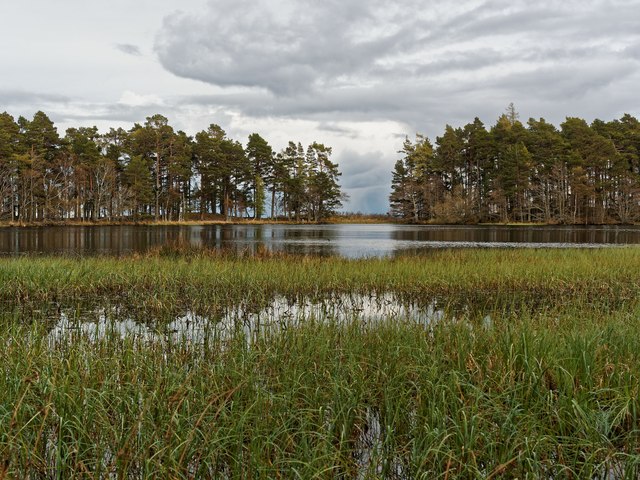
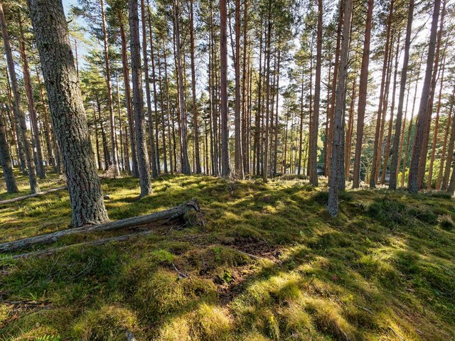
The hill is characterized by its moorland terrain, covered in heather and grasses. It is also home to a diverse range of wildlife, including birds of prey, such as buzzards and kestrels, as well as various species of small mammals.
Carn Maol is a fantastic location for a leisurely hike, offering stunning views and the opportunity to immerse oneself in the beauty of the Scottish Highlands. It is a popular spot for locals and tourists alike, providing a peaceful escape from the hustle and bustle of everyday life.
If you have any feedback on the listing, please let us know in the comments section below.
Carn Maol Images
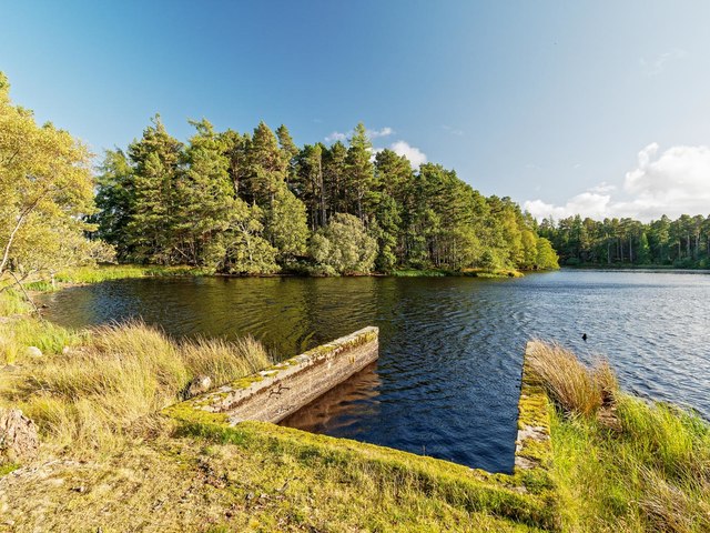
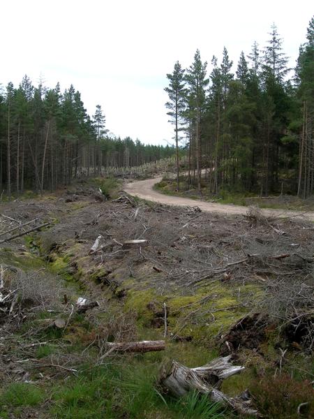
Images are sourced within 2km of 57.484517/-3.8899357 or Grid Reference NH8645. Thanks to Geograph Open Source API. All images are credited.


Carn Maol is located at Grid Ref: NH8645 (Lat: 57.484517, Lng: -3.8899357)
Unitary Authority: Highland
Police Authority: Highlands and Islands
What 3 Words
///expansion.untrained.ships. Near Nairn, Highland
Nearby Locations
Related Wikis

County of Nairn
The County of Nairn (also called Nairnshire) (Scottish Gaelic: Siorrachd Inbhir Narann) is a historic county, registration county and lieutenancy area...

Cawdor
Cawdor (Scottish Gaelic: Caladair) is a village and parish in the Highland council area, Scotland. The village is 5 miles (8 kilometres) south-southwest...
Dun Evan
Dun Evan or the Doune of Cawdor is a hill fort located 2.5 kilometres (1.6 mi) south west of Cawdor in the Highland area of Scotland. It is situated on...
Culcharry
Culcharry is a small residential settlement, close to the village of Cawdor and the hamlet of Brackla, lying 4 miles southwest of Nairn, in Nairnshire...
Have you been to Carn Maol?
Leave your review of Carn Maol below (or comments, questions and feedback).