Beinn a' Chait
Hill, Mountain in Perthshire
Scotland
Beinn a' Chait

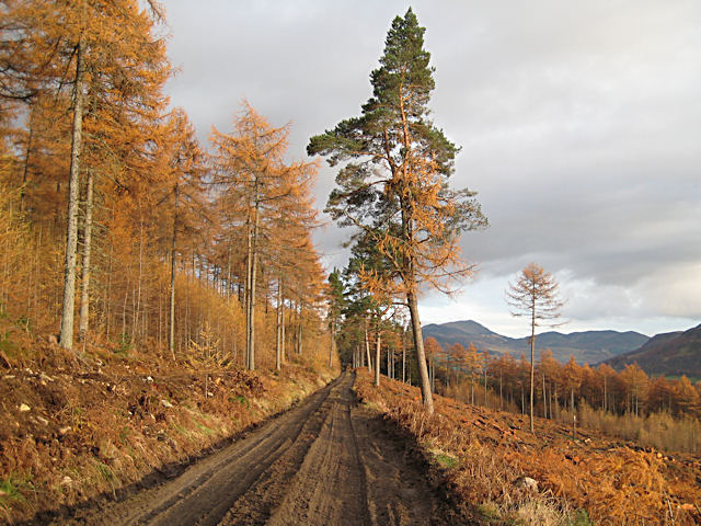
Beinn a' Chait, also known as The Cat's Hill, is a prominent hill located in Perthshire, Scotland. With an elevation of 653 meters (2,142 feet), it is classified as a Corbett, which is a Scottish term for a mountain between 2,500 and 3,000 feet in height.
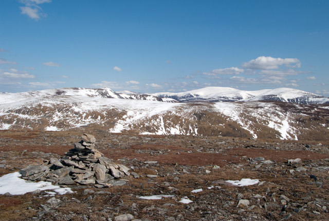
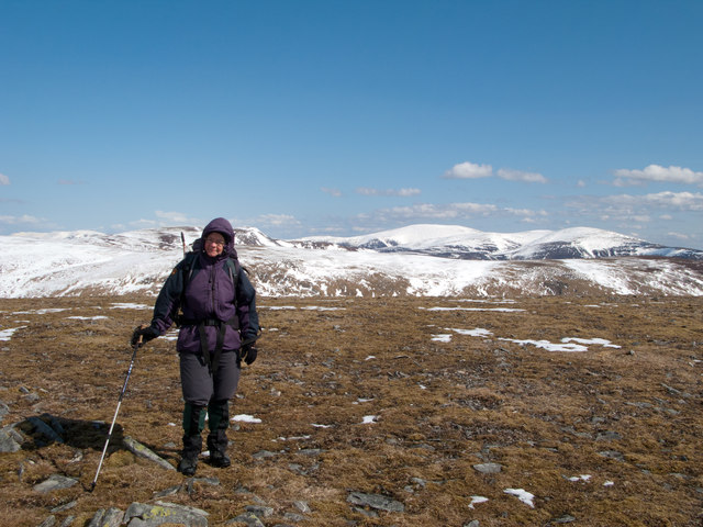
Situated about 11 kilometers (7 miles) southwest of the village of Killin, Beinn a' Chait offers breathtaking panoramic views of the surrounding landscape. Its location within the Loch Lomond and The Trossachs National Park adds to its natural beauty, making it a popular destination for outdoor enthusiasts and nature lovers.
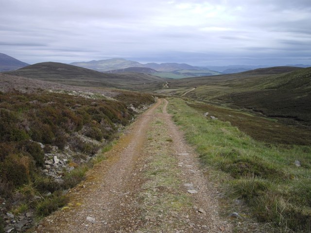
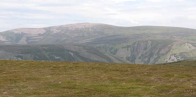
The hill is composed of granite and features a rugged terrain, characterized by steep slopes and rocky outcrops. The ascent to the summit can be challenging, but there are various well-defined paths and tracks that make the climb more accessible for hikers. The route to the top offers diverse scenery, including dense forests, open moorland, and picturesque streams.
From the summit, hikers are rewarded with stunning vistas of Loch Tay, one of Scotland's largest and most beautiful freshwater lochs. On clear days, the view extends to the surrounding mountains, such as Ben Lawers and Meall Ghaordaidh.
Beinn a' Chait attracts visitors throughout the year, with summer providing the best weather conditions for hiking. However, caution must be exercised during winter months due to potential snow and ice hazards. Overall, Beinn a' Chait is a remarkable natural landmark, offering a challenging yet rewarding experience for outdoor enthusiasts seeking to explore the breathtaking beauty of Perthshire.
If you have any feedback on the listing, please let us know in the comments section below.
Beinn a' Chait Images
Images are sourced within 2km of 56.851323/-3.8626602 or Grid Reference NN8674. Thanks to Geograph Open Source API. All images are credited.


Beinn a' Chait is located at Grid Ref: NN8674 (Lat: 56.851323, Lng: -3.8626602)
Unitary Authority: Perth and Kinross
Police Authority: Tayside
What 3 Words
///camera.transmit.thickens. Near Blair Atholl, Perth & Kinross
Nearby Locations
Related Wikis
Beinn Dearg (Blair Atholl)
Beinn Dearg (1,009 m) is a mountain in the Grampian Mountains of Scotland. It lies north of the Perth and Kinross village of Blair Atholl, in the Forest...
Forest of Atholl
The Forest of Atholl (also known as Atholl Forest) is a deer forest near the Scottish village of Blair Atholl, Perth and Kinross, first recorded in the...

Carn a' Chlamain
Càrn a' Chlamain (Gaelic: Càrn a' Chlamhain) is a Scottish mountain situated roughly 12 kilometres north of Blair Atholl in the Forest of Atholl. It is...

Glen Tilt
Glen Tilt (Scottish Gaelic: Gleann Teilt) is a glen in the extreme north of Perthshire, Scotland. Beginning at the confines of Aberdeenshire, it follows...

Beinn a' Ghlò
Beinn a’ Ghlò is a Scottish mountain situated roughly 10 km (6 mi) north east of Blair Atholl in the Forest of Atholl in between Glen Tilt and Glen Loch...
Lude House
Lude House (also known as House of Lude or Lude Estate) is a Category B listed country house and estate in Blair Atholl, Perth and Kinross, Scotland. It...

Blair Castle
Blair Castle (in Scottish Gaelic: Caisteil Bhlàir) stands in its grounds near the village of Blair Atholl in Perthshire in Scotland. It is the ancestral...

Càrn Liath (Munro)
Carn Liath (976 m) is a mountain in the Grampian Mountains of Scotland. It lies east of Blair Atholl in Perthshire, Scotland. Although belonging to the...
Nearby Amenities
Located within 500m of 56.851323,-3.8626602Have you been to Beinn a' Chait?
Leave your review of Beinn a' Chait below (or comments, questions and feedback).