Cerrig Gwynion

Hill, Mountain in Montgomeryshire

Wales

Cerrig Gwynion

Sheep grazing on steep slopes, Bwlch Coch
Sheep grazing on steep slopes, Bwlch Coch Credit: Steven Brown

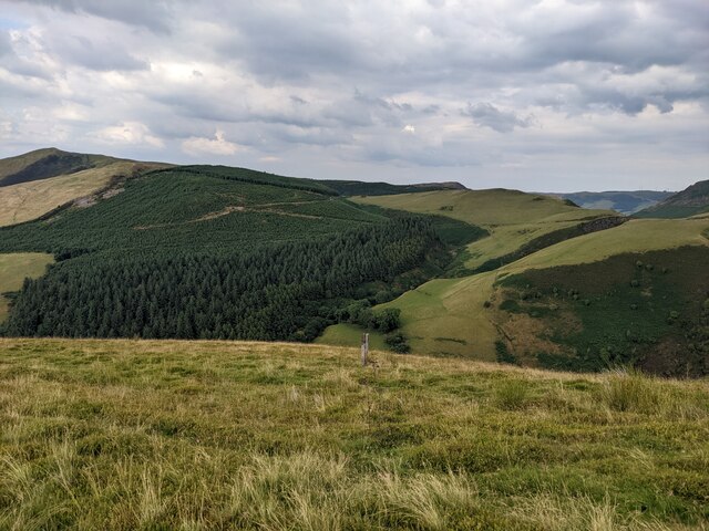
Cerrig Gwynion is a prominent hill located in Montgomeryshire, Wales. It stands at an impressive height of approximately 510 meters (1,670 feet) above sea level, making it one of the highest peaks in the region. The hill is situated within the picturesque Cambrian Mountains, offering breathtaking panoramic views of the surrounding landscape.

Cerrig Gwynion is known for its rugged and rocky terrain, with its name translating to "white stones" in English. It is characterized by a series of large boulders and outcrops scattered across its slopes, adding to its distinctive charm. These white stones are composed of quartzite, giving the hill a unique appearance.

The area surrounding Cerrig Gwynion is rich in natural beauty, with lush greenery and diverse flora and fauna. It provides an ideal habitat for a variety of wildlife, including birds, small mammals, and insects. The hill is also a popular destination for hikers and nature enthusiasts, offering numerous walking trails that allow visitors to explore its stunning surroundings.

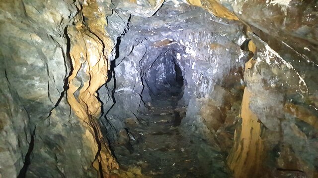
Cerrig Gwynion is steeped in history, with evidence of ancient settlements and burial cairns found in the area. It is believed to have played a significant role in the lives of early inhabitants, serving as a place of spiritual and cultural importance.

Overall, Cerrig Gwynion is a magnificent natural landmark in Montgomeryshire, offering both breathtaking views and a glimpse into the region's rich history and natural heritage.

If you have any feedback on the listing, please let us know in the comments section below.

Cerrig Gwynion Images

Images are sourced within 2km of 52.554206/-3.6832406 or Grid Reference SN8596. Thanks to Geograph Open Source API. All images are credited.

Sheep grazing on steep slopes, Bwlch Coch
Lead mine at Llannerch-Yr-Aur Part of the Llannerch Yr Aur lead mine complex. One of a series of adits and stopes all across the hill.
Lead mine at Llannerch-Yr-Aur
Part of the Llannerch Yr Aur lead mine complex. One of a series of adits and stopes all across the hill.
Mine building Derelict mine building from Ceulan lead mine.
Mine building
Derelict mine building from Ceulan lead mine.
Leat Entrance to possible leat which took water around the hill to Cae Conroy mine. The exit is about twenty metres to the east next to the footpath
Leat
Entrance to possible leat which took water around the hill to Cae Conroy mine. The exit is about twenty metres to the east next to the footpath
Mine adit Deep adit part of the Ceulan/ Llannerchyraur lead mine complex. Ore was taken down the valley on a tramway to the Ceulan workings. Abandoned in the 1880's.
Mine adit
Deep adit part of the Ceulan/ Llannerchyraur lead mine complex. Ore was taken down the valley on a tramway to the Ceulan workings. Abandoned in the 1880's.
Looking across Bwlch Coch
Rhoswydol Lead Mine Where the stopes have followed the ore up to surface.
Rhoswydol Lead Mine
Where the stopes have followed the ore up to surface.
Part of the mountain road A heart achingly beautiful road to drive as I would much prefer to be out on foot walking above or below it.
Part of the mountain road
A heart achingly beautiful road to drive as I would much prefer to be out on foot walking above or below it.
Disused Mineshaft Bryn y Fedwen Looking towards Nant y Fedw
Disused Mineshaft Bryn y Fedwen
Looking towards Nant y Fedw
Bwlch Coch
Bwlch Coch
Wild camp on Moelfre Fach Wild camp on Moelfre Fach above Rhoswydol on the " There 'n Back " mtb event
organised by Stuart and Dee of <span class="nowrap"><a title="http://bearbonesbikepacking.co.uk/index.html" rel="nofollow ugc noopener" href="http://bearbonesbikepacking.co.uk/index.html">Link</a><img style="margin-left:2px;" alt="External link" title="External link - shift click to open in new window" src="https://s1.geograph.org.uk/img/external.png" width="10" height="10"/></span>
Wild camp on Moelfre Fach
Wild camp on Moelfre Fach above Rhoswydol on the " There 'n Back " mtb event organised by Stuart and Dee of LinkExternal link
Wild camp on Moelfre Fach A good frost after a starlit wild camp on the " There 'n Back " mtb event organised by Stuart and Dee of <span class="nowrap"><a title="http://bearbonesbikepacking.co.uk/index.html" rel="nofollow ugc noopener" href="http://bearbonesbikepacking.co.uk/index.html">Link</a><img style="margin-left:2px;" alt="External link" title="External link - shift click to open in new window" src="https://s1.geograph.org.uk/img/external.png" width="10" height="10"/></span>
Wild camp on Moelfre Fach
A good frost after a starlit wild camp on the " There 'n Back " mtb event organised by Stuart and Dee of LinkExternal link
Machynlleth to Llanidloes Mountain road
Rainbow over Bryn y Fedwen
Craig y Gath Looking across Cwm Dwfn.
Craig y Gath
Looking across Cwm Dwfn.
Looking up the Twymyn valley Looking over grazing land to the head of the valley, with the gorge at its end clearly visible.
Looking up the Twymyn valley
Looking over grazing land to the head of the valley, with the gorge at its end clearly visible.
Grazing in the Twymyn valley Looking across the valley, with its many green fields and sheep.
Grazing in the Twymyn valley
Looking across the valley, with its many green fields and sheep.
Cattle on the hill Seemingly used to the steep slopes.
Cattle on the hill
Seemingly used to the steep slopes.
Show me another place!

Cerrig Gwynion is located at Grid Ref: SN8596 (Lat: 52.554206, Lng: -3.6832406)

Unitary Authority: Powys

Police Authority: Dyfed Powys

What 3 Words

///myths.fidgeted.longer. Near Staylittle, Powys

Nearby Locations

Cerrig Gwynion

Related Wikis

Dylife Gorge

The Dylife Gorge, located near Dylife, Powys, Mid Wales, was carved by the action (and aftermath) of the last Ice age. It is headed by the Ffrwd Fawr Waterfall...

Pennant, Powys

Pennant is a small village in Powys, mid Wales located on the B4518 road between Llanbrynmair and Llanidloes.
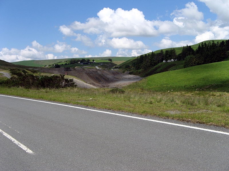
Dylife

Dylife is a former mining settlement in Powys, Wales, located at the head of Afon Twymyn in the Cambrian Mountains, one mile west of the road between Llanidloes...

Ffrwd Fawr Waterfall

Ffrwd Fawr is a waterfall in Powys, Wales. == Location == The River Twymyn flows from the 40-metre-high (130 ft) Ffrwd Fawr Waterfall at the head of the...

Bryn yr Ŵyn

Bryn yr Ŵyn (Welsh for 'hill of the lambs') is a former Dewey in the foothills of Plynlimon between Aberystwyth and Welshpool in Wales. The summit height...
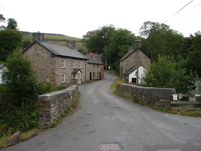
Bont Dolgadfan

Bont Dolgadfan is a small village off the B4518 road in Powys, Wales. It is part of the community of Llanbrynmair and forms a community ward for elections...

Aberhosan

Aberhosan () is a village in the Welsh principal area of Powys, located between the town of Machynlleth and village of Dylife. It is in the historic county...

Banc Bugeilyn

Banc Bugeilyn is a hill found in Plynlimon between Aberystwyth and Welshpool in the United Kingdom; grid reference SN826925.The summit is class as a Dewey...

Nearby Amenities

Located within 500m of 52.554206,-3.6832406
Mynydd Cil-cwm
Created By: POI Editor
Natural: peak
Source: npe
Lat/Long: 52.5540353/-3.6823203
The data included in this document is from www.openstreetmap.org. The data is made available under ODbL.

Have you been to Cerrig Gwynion?

Leave your review of Cerrig Gwynion below (or comments, questions and feedback).