Babe Hill
Hill, Mountain in Somerset Somerset West and Taunton
England
Babe Hill
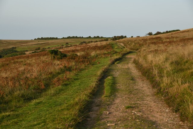
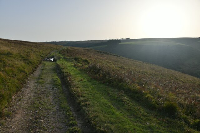
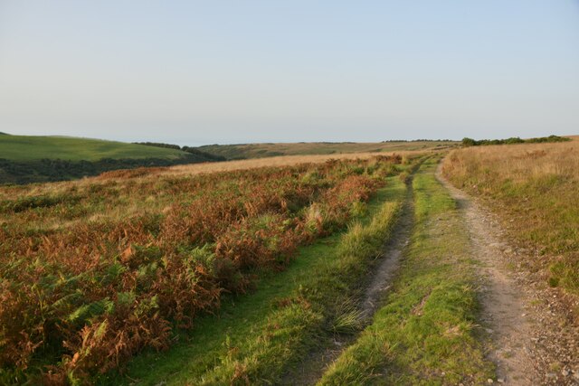
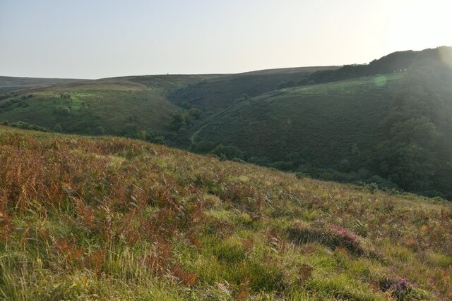
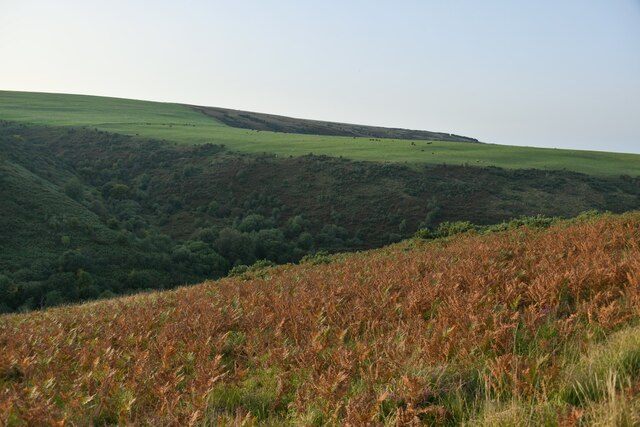
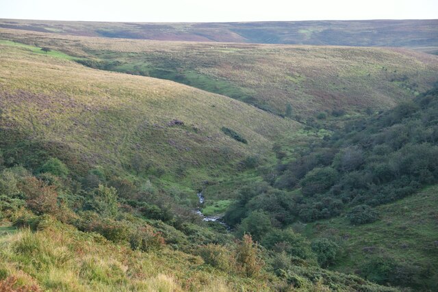
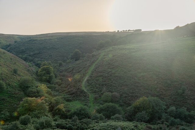
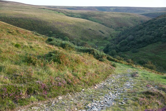
Babe Hill, Somerset, is a prominent hill located in the county of Somerset, England. With an elevation of approximately 436 meters (1,430 feet), it is classified as a hill rather than a mountain. The hill is situated in the eastern part of the county, near the town of Bruton, and is part of the wider Mendip Hills Area of Outstanding Natural Beauty.
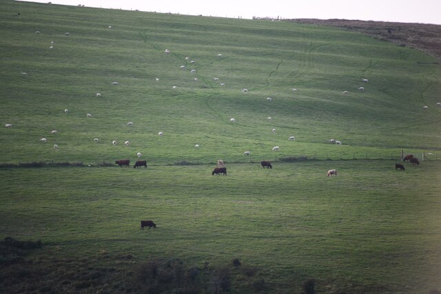
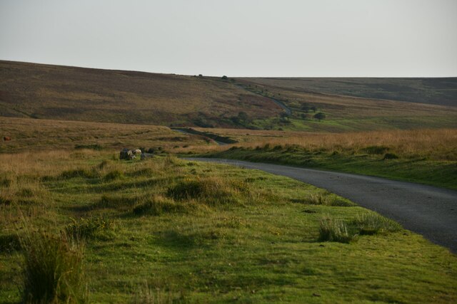
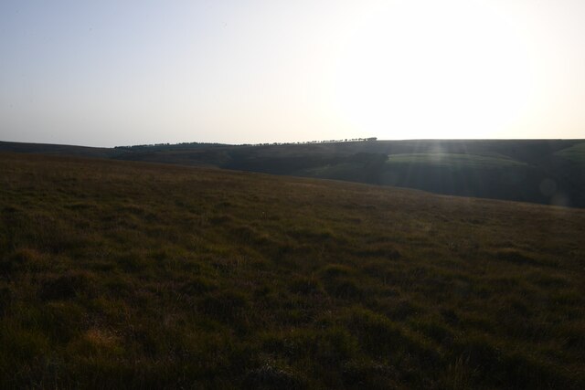
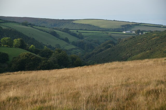
Babe Hill offers breathtaking panoramic views of the surrounding countryside, including the rolling hills and picturesque valleys that characterize the Somerset landscape. Its summit provides an ideal vantage point for visitors to enjoy the beauty of the region. On a clear day, it is even possible to see the distant Glastonbury Tor and the Bristol Channel.
The hill is named after the nearby village of Babington, which is renowned for its historical significance and charming architecture. It is believed that the name "Babe" is derived from the Old English word "baba," meaning a child or baby, potentially alluding to the gentle slopes and rounded shape of the hill.
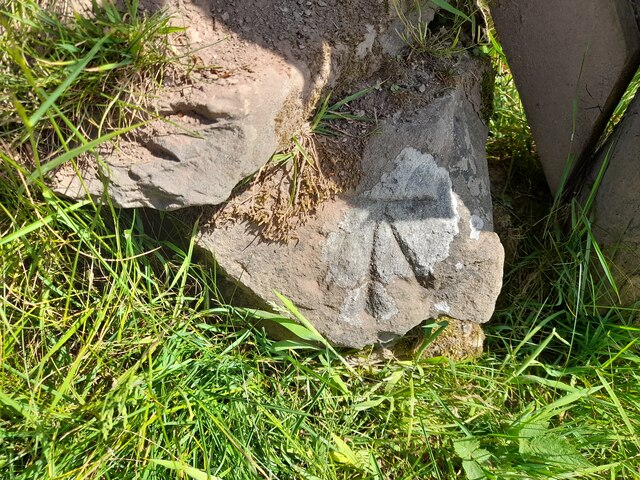
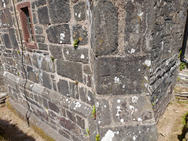
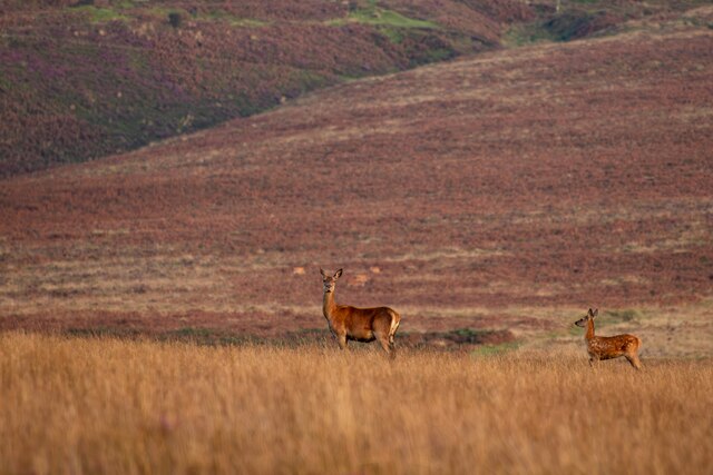
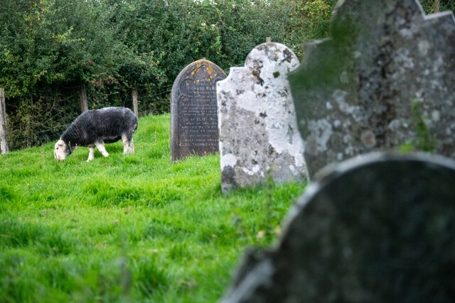
Babe Hill is a popular destination for outdoor enthusiasts, offering various walking and hiking trails that cater to different skill levels. The hill's diverse flora and fauna make it an excellent site for nature enthusiasts and birdwatchers. It is also home to several archaeological sites, including ancient burial mounds and Roman remains, which add to its historical appeal.
Overall, Babe Hill in Somerset is a picturesque and historically significant hill, offering visitors a chance to immerse themselves in the natural beauty and rich heritage of the region.
If you have any feedback on the listing, please let us know in the comments section below.
Babe Hill Images
Images are sourced within 2km of 51.180001/-3.6339791 or Grid Reference SS8543. Thanks to Geograph Open Source API. All images are credited.


Babe Hill is located at Grid Ref: SS8543 (Lat: 51.180001, Lng: -3.6339791)
Administrative County: Somerset
District: Somerset West and Taunton
Police Authority: Avon and Somerset
What 3 Words
///then.bloodshot.ashes. Near Porlock, Somerset
Nearby Locations
Related Wikis

Nutscale Reservoir
Nutscale Reservoir is a reservoir located in Exmoor in north west Somerset, England. It supplies the town of Minehead and nearby Porlock and Porlock Weir...

Berry Castle, Somerset
Berry Castle (sometimes known as Berry Camp) is an early Roman (possible Iron Age) hillslope enclosure in the West Somerset district of Somerset, England...

Porlock Stone Circle
Porlock Stone Circle is a stone circle located on Exmoor, near the village of Porlock in the south-western English county of Somerset. The Porlock ring...

Stoke Pero Church
Stoke Pero Church in Stoke Pero, Somerset, England was built in the 13th century. It is a Grade II* listed building. Standing 1,013 feet (309 meters) above...
Almsworthy Common
Almsworthy Common is a small area of unenclosed land in Exmoor, south-western England. It contains a number of archaeological sites. It is about 2 miles...

Alderman's Barrow
Alderman's Barrow is a bowl barrow on Exmoor. It was created as a burial chamber in the Bronze Age and subsequently became a marker for the boundary of...

Sweetworthy
Sweetworthy is the site of two Iron Age hill forts or enclosures at Luccombe, 4 kilometres (2 mi) south of Porlock, Somerset, England. They are on the...

Porlock Hill
Porlock Hill is a road west of Porlock, Somerset. It is part of the A39, connecting Porlock to Lynmouth and Barnstaple in Devon and is the steepest A-road...
Nearby Amenities
Located within 500m of 51.180001,-3.6339791Have you been to Babe Hill?
Leave your review of Babe Hill below (or comments, questions and feedback).