Carn Mòr
Hill, Mountain in Nairnshire
Scotland
Carn Mòr
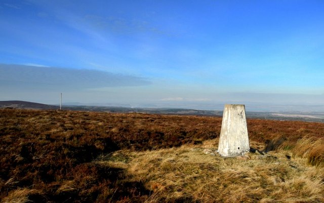
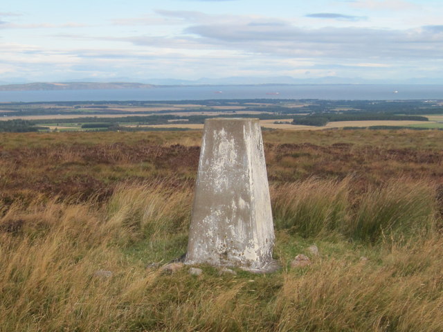
Carn Mòr, located in Nairnshire, Scotland, is a prominent hill that stands at an elevation of 314 meters (1,030 feet) above sea level. It is part of the stunning Scottish Highlands, known for its rugged beauty and breathtaking landscapes. Carn Mòr is situated approximately 7 kilometers (4.3 miles) southeast of Nairn, a small coastal town on the Moray Firth.
The hill is characterized by its rounded shape, covered with heather and grasses, giving it a vibrant green hue during the warmer months. It offers a relatively easy ascent, making it a popular destination for hikers and outdoor enthusiasts looking for a moderate challenge. The summit provides stunning panoramic views of the surrounding countryside, including the Moray Firth and the nearby hills.
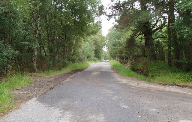
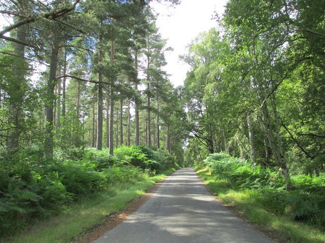
Carn Mòr is located within the Culbin Forest, a vast woodland area that encompasses over 8,000 hectares (19,768 acres) of diverse habitats, ranging from dense forests to open dunes. The forest is home to a variety of wildlife, including red squirrels, roe deer, and numerous bird species, making it an excellent spot for nature lovers and birdwatchers.
Visitors to Carn Mòr can access the hill from various routes, with the most popular being the marked trail through Culbin Forest. The area is well-maintained, with designated paths and signposts, ensuring a safe and enjoyable experience for all. As the hill is relatively low in altitude, it can be explored year-round, although it is advisable to check weather conditions and wear appropriate clothing and footwear.
If you have any feedback on the listing, please let us know in the comments section below.
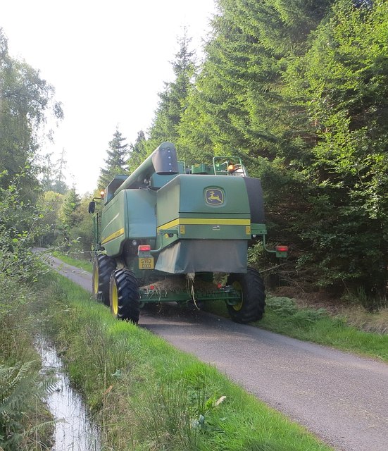
Carn Mòr Images
Images are sourced within 2km of 57.490581/-3.912557 or Grid Reference NH8546. Thanks to Geograph Open Source API. All images are credited.


Carn Mòr is located at Grid Ref: NH8546 (Lat: 57.490581, Lng: -3.912557)
Unitary Authority: Highland
Police Authority: Highlands and Islands
What 3 Words
///fitter.compose.computers. Near Nairn, Highland
Nearby Locations
Related Wikis

Cawdor
Cawdor (Scottish Gaelic: Caladair) is a village and parish in the Highland council area, Scotland. The village is 5 miles (8 kilometres) south-southwest...
Dun Evan
Dun Evan or the Doune of Cawdor is a hill fort located 2.5 kilometres (1.6 mi) south west of Cawdor in the Highland area of Scotland. It is situated on...

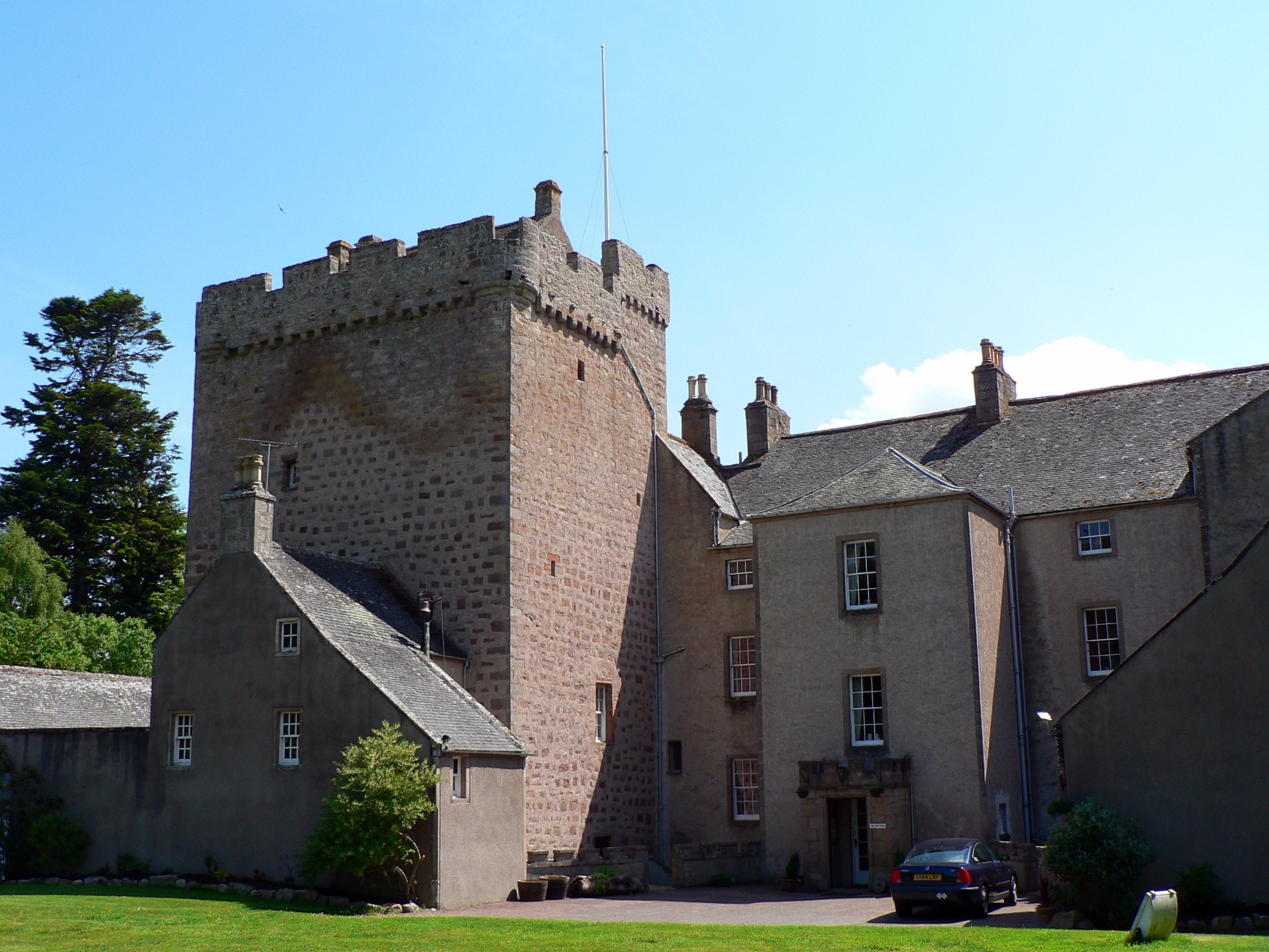
Cawdor Castle
Cawdor Castle is a castle in the parish of Cawdor in Nairnshire, Scotland. It is built around a 15th-century tower house, with substantial additions in...
Culcharry
Culcharry is a small residential settlement, close to the village of Cawdor and the hamlet of Brackla, lying 4 miles southwest of Nairn, in Nairnshire...

County of Nairn
The County of Nairn (also called Nairnshire) (Scottish Gaelic: Siorrachd Inbhir Narann) is a historic county, registration county and lieutenancy area...

Cawdor (Roman fort)
Cawdor (Roman Fort), located near the small village of Easter Galcantray (15 miles or 24 kilometres east of Inverness), is suspected of being one of the...
Piperhill
Piperhill is a village, located four miles south of Nairn in Nairnshire, Scottish Highlands and is in the Scottish council area of Highland.
Kilravock Castle
Kilravock Castle (pronounced Kilrawk) is located near the village of Croy, between Inverness and Nairn, in the council area of Highland, Scotland. It was...
Nearby Amenities
Located within 500m of 57.490581,-3.912557Have you been to Carn Mòr?
Leave your review of Carn Mòr below (or comments, questions and feedback).