Torbay Hill

Hill, Mountain in Kirkcudbrightshire

Scotland

Torbay Hill

Granite outcrop shore The shore here comprises solid granite outcrop, albeit fissured and jointed. Where the rock is clean and free of colourful lichen, the granite has a pronounced red tint which is characteristic of the southern, marginal part of the large intrusive mass.
Granite outcrop shore Credit: Jonathan Wilkins

Torbay Hill is a prominent hill located in Kirkcudbrightshire, Scotland. Standing at an elevation of approximately 310 meters (1017 feet), it is classified as a hill rather than a mountain. The hill is situated near the town of Kirkcudbright, which lies on the southern coast of Scotland, offering stunning views of the surrounding landscape and the Irish Sea.

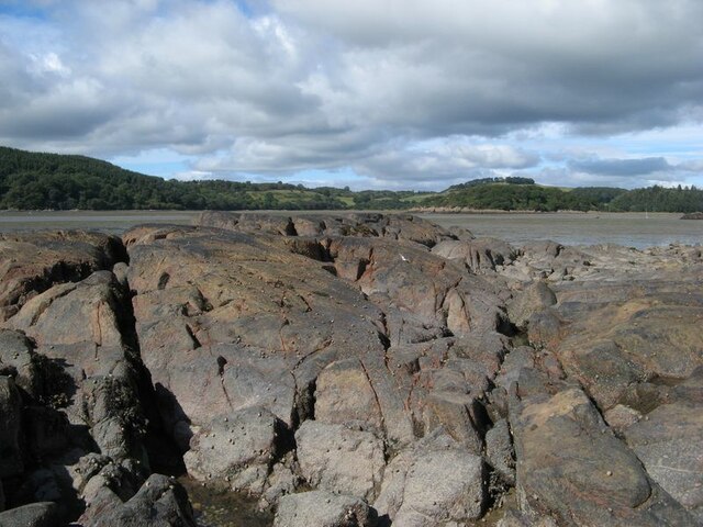
Torbay Hill is characterized by its distinct shape and rugged terrain. Its slopes are covered with a mix of grass, heather, and scattered patches of trees, providing a diverse ecosystem for local flora and fauna. The hill is a popular destination for hikers and nature enthusiasts, who are attracted by its challenging trails and breathtaking vistas.

At the summit of Torbay Hill, visitors are rewarded with panoramic views of the surrounding countryside, including the picturesque town of Kirkcudbright, the rolling hills of Galloway, and the sparkling waters of the Irish Sea. On clear days, it is even possible to catch a glimpse of the Isle of Man in the distance.

Torbay Hill holds historical significance as well. The area surrounding the hill is dotted with ancient archaeological sites, including burial mounds and stone circles, indicating that it has been inhabited for thousands of years. These sites add an air of mystery and intrigue to the already captivating landscape.

Overall, Torbay Hill is a natural gem in the heart of Kirkcudbrightshire, offering visitors a chance to explore its rugged beauty and immerse themselves in the rich history of the region.

If you have any feedback on the listing, please let us know in the comments section below.
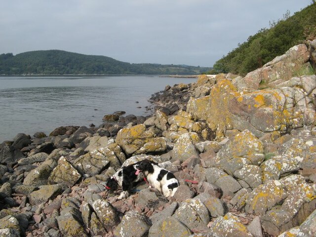
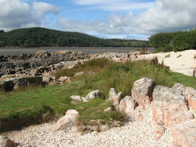
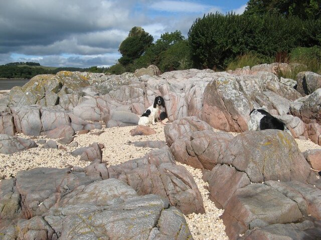
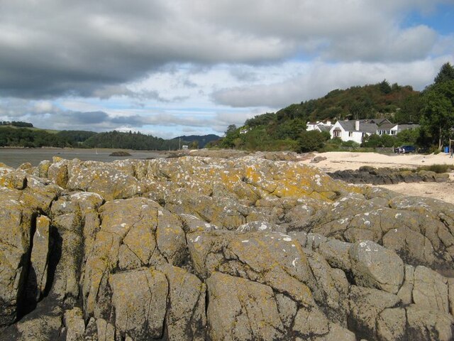
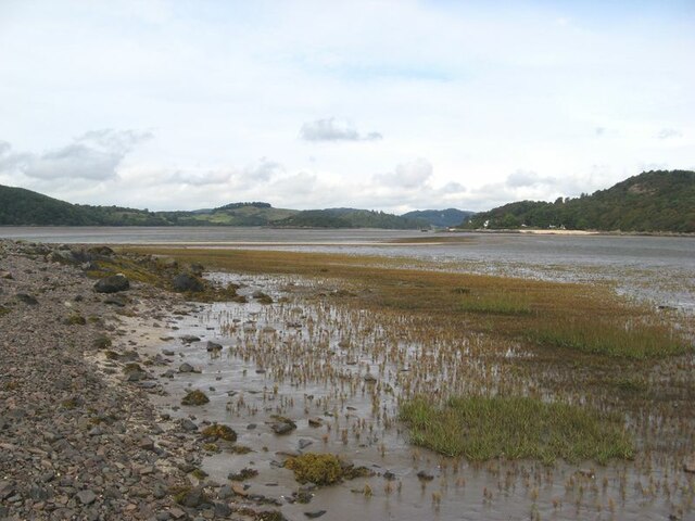
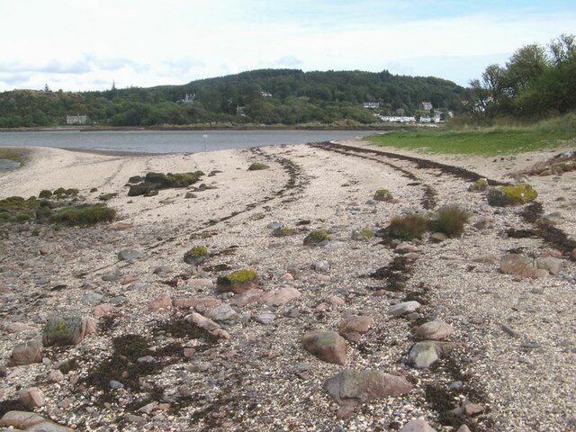
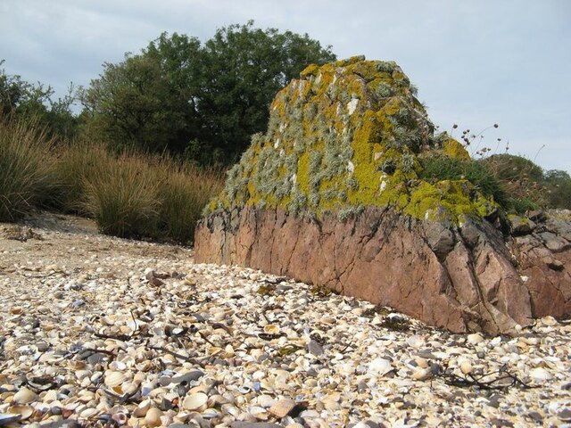
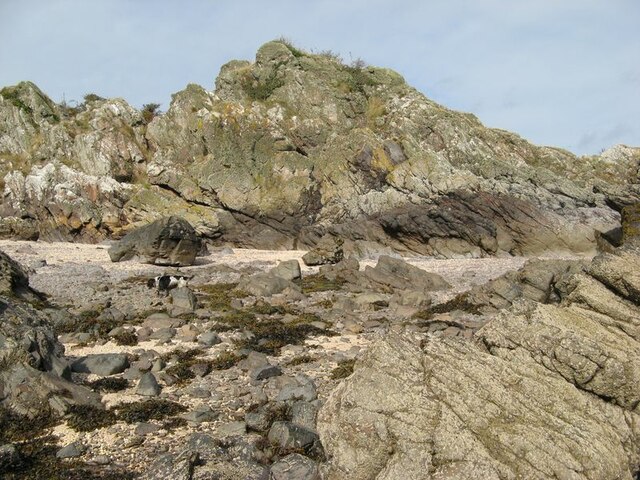
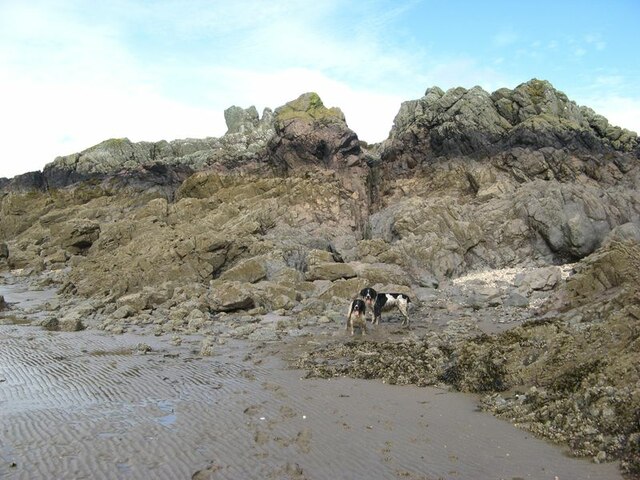
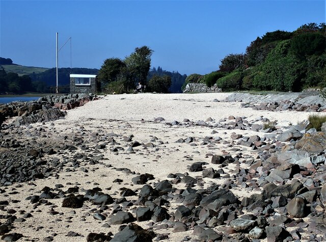
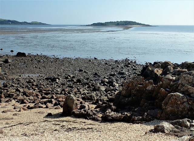
Torbay Hill Images

Images are sourced within 2km of 54.871616/-3.7894064 or Grid Reference NX8554. Thanks to Geograph Open Source API. All images are credited.

Granite outcrop shore The shore here comprises solid granite outcrop, albeit fissured and jointed. Where the rock is clean and free of colourful lichen, the granite has a pronounced red tint which is characteristic of the southern, marginal part of the large intrusive mass.
Granite outcrop shore
The shore here comprises solid granite outcrop, albeit fissured and jointed. Where the rock is clean and free of colourful lichen, the granite has a pronounced red tint which is characteristic of the southern, marginal part of the large intrusive mass.
Shell banks A curious feature of the coast here is the presence of storm beaches comprising nothing but cockle shells, which make a very colourful contrast with the rock outcrop and marshy turf.
Shell banks
A curious feature of the coast here is the presence of storm beaches comprising nothing but cockle shells, which make a very colourful contrast with the rock outcrop and marshy turf.
Polished granite, Roughfirth The shore at Roughfirth has abundant granite outcrop which is kept wonderfully clean by erosive wave action. The granite is more compact here, with fewer joints and fissures, so has been eroded and polished into smooth, rounded pillows with a fine pinkish hue. The environs of the Criffel-Daleattie Granite Pluton are a geologist's dream.
Polished granite, Roughfirth
The shore at Roughfirth has abundant granite outcrop which is kept wonderfully clean by erosive wave action. The granite is more compact here, with fewer joints and fissures, so has been eroded and polished into smooth, rounded pillows with a fine pinkish hue. The environs of the Criffel-Daleattie Granite Pluton are a geologist's dream.
Lichen-encrusted outcrop Fissured granite outcrop lies above the maximum tide level, so is a favourable habitat for the characteristic Caloplaca and Lecanora lichens.
Lichen-encrusted outcrop
Fissured granite outcrop lies above the maximum tide level, so is a favourable habitat for the characteristic Caloplaca and Lecanora lichens.
Ice-smoothed outcrop This area of rock outcrop lies entirely below the maximum high-tide level, as can be seen from the encrusting molluscs, so it has none of the lichens which are characteristic of the upper shore. The clean rock shows obvious signs of erosion by glacial action, presumably due to an ice stream moving down the valley of the Urr from higher ground inland.
Ice-smoothed outcrop
This area of rock outcrop lies entirely below the maximum high-tide level, as can be seen from the encrusting molluscs, so it has none of the lichens which are characteristic of the upper shore. The clean rock shows obvious signs of erosion by glacial action, presumably due to an ice stream moving down the valley of the Urr from higher ground inland.
Ready to go A fleet of sailing dinghies ready to take to the water at the Solway Yacht Club slipway.
Ready to go
A fleet of sailing dinghies ready to take to the water at the Solway Yacht Club slipway.
Boat storage Boats standing on saltmarsh above the normal tide level.
Boat storage
Boats standing on saltmarsh above the normal tide level.
Shell beach Lines of stranded seaweed make a contrast with the brightly-coloured shells on the east side of Rough Island.
Shell beach
Lines of stranded seaweed make a contrast with the brightly-coloured shells on the east side of Rough Island.
Samphire bed A patch of muddy sand near to the causeway has a fine growth of samphire.
Samphire bed
A patch of muddy sand near to the causeway has a fine growth of samphire.
Shore by the causeway The shelly beach near to the causeway, which appears to be a form of tombolo.
Shore by the causeway
The shelly beach near to the causeway, which appears to be a form of tombolo.
Granite outcrop An isolated rock outcrop on the shell beach is a fine example of a pink, granitic vein. Many such veins appear to be associated with the intrusion of the nearby Criffel-Dalbeattie pluton, with fingers reaching out into the greywackes of Silurian age. Prominent exposures of such rocks can also be found nearby on the mainland at Rockcliffe. Wave action and abrasion has kept the lower part clear of encrustation, but the top has a delightfully thick growth of lichens.
Granite outcrop
An isolated rock outcrop on the shell beach is a fine example of a pink, granitic vein. Many such veins appear to be associated with the intrusion of the nearby Criffel-Dalbeattie pluton, with fingers reaching out into the greywackes of Silurian age. Prominent exposures of such rocks can also be found nearby on the mainland at Rockcliffe. Wave action and abrasion has kept the lower part clear of encrustation, but the top has a delightfully thick growth of lichens.
Rough Island shore This is rough terrain, with chaotic exposures of fractured and deformed rock. Is it the origin of the name Rough Island?
Rough Island shore
This is rough terrain, with chaotic exposures of fractured and deformed rock. Is it the origin of the name Rough Island?
Intertidal rocks Rocks exposed in the intertidal zone at the south end of Rough Island.
Intertidal rocks
Rocks exposed in the intertidal zone at the south end of Rough Island.
Island mudscape A view against the light of the expanse of water, mud and sand that makes up the outer end of Rough Firth. The Spring Stones are to the left, while Hestan Island is on the right of the river running out to clear water.
Island mudscape
A view against the light of the expanse of water, mud and sand that makes up the outer end of Rough Firth. The Spring Stones are to the left, while Hestan Island is on the right of the river running out to clear water.
Drainage channel Water draining from the area to the east of the causeway runs across the sand, but swings in to the southern end of Rough Island before dispersing towards the river channel. My assistants were encouraged to splash around in the relatively clean water after their muddy trek around the west side of the island.
Drainage channel
Water draining from the area to the east of the causeway runs across the sand, but swings in to the southern end of Rough Island before dispersing towards the river channel. My assistants were encouraged to splash around in the relatively clean water after their muddy trek around the west side of the island.
Shell Beach Kippford One of the shell beaches just out from Kippford. The beaches around this part of the coast are made from broken cockle shells.
Shell Beach Kippford
One of the shell beaches just out from Kippford. The beaches around this part of the coast are made from broken cockle shells.
Rocky Shore Kippford Rocky shore just off the shell beach looking out towards Rough Island. The sand bank showing at low tide is known as the causeway. Although possible to walk out at the right state of the tide, the National Trust for Scotland ask visitors to keep off the Island from the 1st of March until the 31st of July to protect and avoid disturbing the nesting bird colonies.
Rocky Shore Kippford
Rocky shore just off the shell beach looking out towards Rough Island. The sand bank showing at low tide is known as the causeway. Although possible to walk out at the right state of the tide, the National Trust for Scotland ask visitors to keep off the Island from the 1st of March until the 31st of July to protect and avoid disturbing the nesting bird colonies.
Shell Beach, Roughfirth Road The shell beach located at the end of Roughfirth Road just out of Kippford. The Hawthorn Tree seen on the left won Woodland Trust Tree of the Year 2021 <span class="nowrap"><a title="https://www.woodlandtrust.org.uk/trees-woods-and-wildlife/british-trees/tree-of-the-year/" rel="nofollow ugc noopener" href="https://www.woodlandtrust.org.uk/trees-woods-and-wildlife/british-trees/tree-of-the-year/">Link</a><img style="margin-left:2px;" alt="External link" title="External link - shift click to open in new window" src="https://s1.geograph.org.uk/img/external.png" width="10" height="10"/></span>
Shell Beach, Roughfirth Road
The shell beach located at the end of Roughfirth Road just out of Kippford. The Hawthorn Tree seen on the left won Woodland Trust Tree of the Year 2021 LinkExternal link
Show me another place!

Torbay Hill is located at Grid Ref: NX8554 (Lat: 54.871616, Lng: -3.7894064)

Unitary Authority: Dumfries and Galloway

Police Authority: Dumfries and Galloway

What 3 Words

///giggle.sound.shuttered. Near Dalbeattie, Dumfries & Galloway

Related Wikis

Colvend and Southwick

Colvend and Southwick is a community council area and civil parish within the Stewartry area of Dumfries and Galloway, Scotland. It is also part of the...

Rockcliffe, Dumfries and Galloway

Rockcliffe is a small, coastal village in Kirkcudbrightshire, Dumfries and Galloway in Scotland, with a view of Rough Island, Hestan Island, the Solway...

Kippford

Kippford (/ˈkɪpfəd/; otherwise Scaur) is a small village along the Solway coast, in the historic county of Kirkcudbrightshire in Dumfries and Galloway...

Rough Island, Scotland

"Rough Island" is also used as a translation of "Garbh Eilean", a common Scottish name for islandsRough Island is a 20-acre (8 ha) uninhabited tidal island...

Nearby Amenities

Located within 500m of 54.871616,-3.7894064
Grennan Hill
Natural: peak
Lat/Long: 54.8686298/-3.7931822
Torbay Hill
Natural: peak
Lat/Long: 54.8718074/-3.7889893
Power: pole
Lat/Long: 54.8685447/-3.7839239
The data included in this document is from www.openstreetmap.org. The data is made available under ODbL.

Have you been to Torbay Hill?

Leave your review of Torbay Hill below (or comments, questions and feedback).