Bryn-bras

Hill, Mountain in Merionethshire

Wales

Bryn-bras

Track through the heather South-west of Foel-boeth.
Track through the heather Credit: John H Darch

The requested URL returned error: 429 Too Many Requests

If you have any feedback on the listing, please let us know in the comments section below.
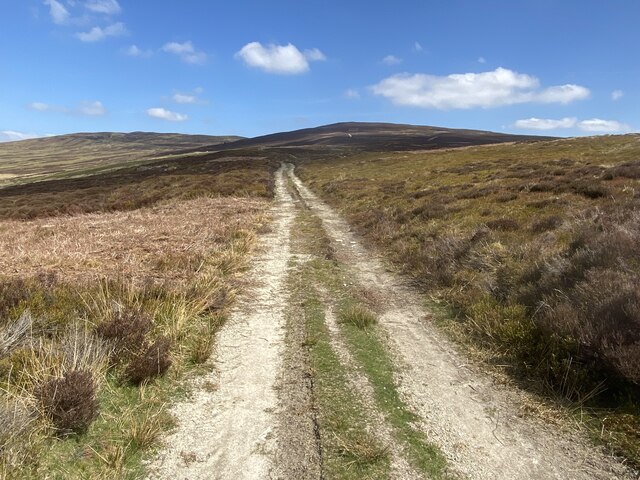
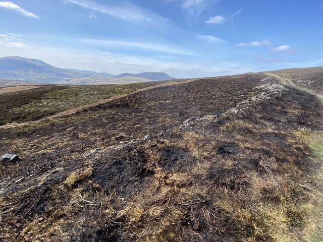
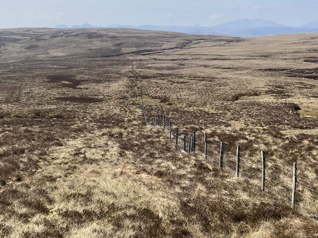
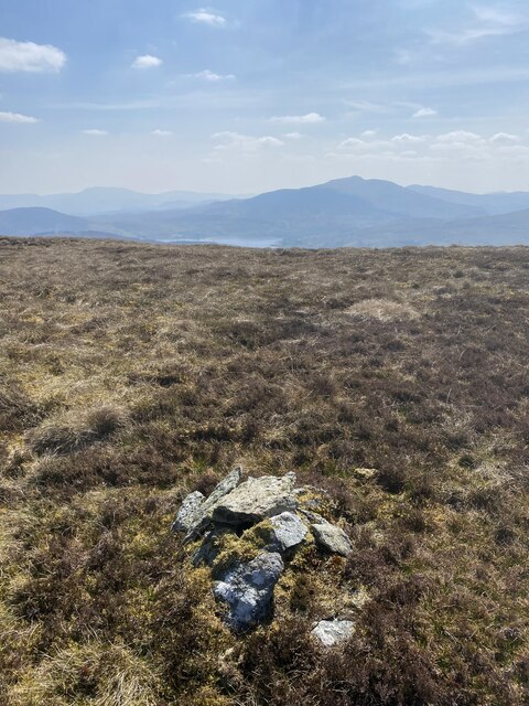
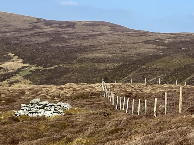
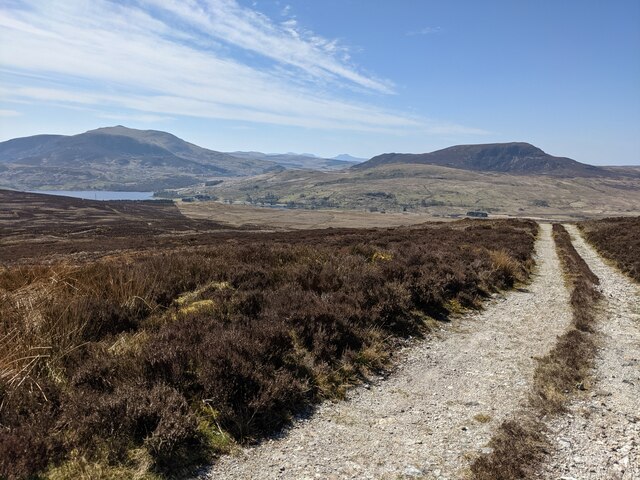
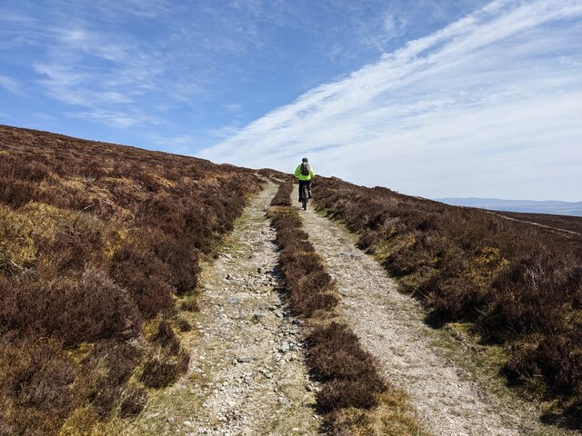
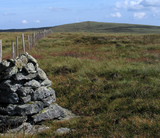
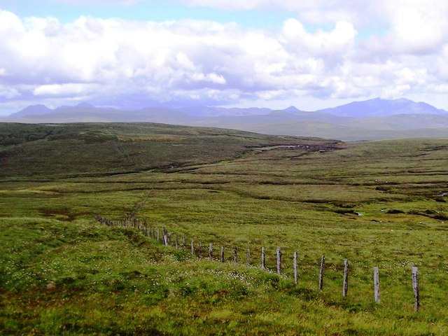
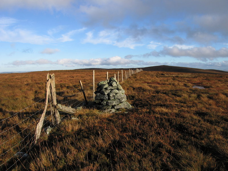
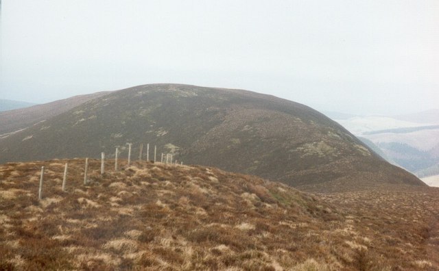
Bryn-bras Images

Images are sourced within 2km of 52.977366/-3.7114116 or Grid Reference SH8543. Thanks to Geograph Open Source API. All images are credited.

Track through the heather South-west of Foel-boeth.
Track through the heather
South-west of Foel-boeth.
Recently-burnt heather South of Foel-boeth.
Recently-burnt heather
South of Foel-boeth.
Boundary fence west of Carnedd-y-Filiast
The summit of Carnedd Llechwedd-llyfn? Though the actual summit of this 2110' / 643m mountain is virtually impossible to ascertain on this flat plateau, Someone has constructed this small, symbolic cairn.
The summit of Carnedd Llechwedd-llyfn?
Though the actual summit of this 2110' / 643m mountain is virtually impossible to ascertain on this flat plateau, Someone has constructed this small, symbolic cairn.
Pile of rocks by fence On the northern slopes of Foel Boeth.
Pile of rocks by fence
On the northern slopes of Foel Boeth.
The track below Foel-boeth Llyn Celyn can be seen in the distance on the left.
The track below Foel-boeth
Llyn Celyn can be seen in the distance on the left.
Looking east on the track below Foel-boeth
Estate road rising towards Foel-boeth The estate road climbs from the A4212 through a coniferous plantation and out on to the moor. Foel-boeth rises out of the right side of the image and is actually bypassed by the road. The distant ridge has tops at Carnedd Llechwedd-llyfn and  Llechwedd-llyfn, both lying to the west of the higher summit, Carnedd y  Filiast which is not in view.
Estate road rising towards Foel-boeth
The estate road climbs from the A4212 through a coniferous plantation and out on to the moor. Foel-boeth rises out of the right side of the image and is actually bypassed by the road. The distant ridge has tops at Carnedd Llechwedd-llyfn and Llechwedd-llyfn, both lying to the west of the higher summit, Carnedd y Filiast which is not in view.
Slopes below Foel-boeth Foel-boeth is a minor top of  Carnedd y Filiast and lies to the south of it. The view is from an estate road rising on the slope of Foel-boeth and bends of it can be seen below. Arenig Fawr is the distant mountain.
Slopes below Foel-boeth
Foel-boeth is a minor top of Carnedd y Filiast and lies to the south of it. The view is from an estate road rising on the slope of Foel-boeth and bends of it can be seen below. Arenig Fawr is the distant mountain.
Cairn and fence on Llechwedd-llyfn The mountain area crossed by the fence has at least this cairn and perhaps another and is named broadly as Llechwedd-llyfn on OS Landranger maps. At larger scales however this location is named as Carn Llechwedd-llyfn with the shorter name being given to a slightly lower rise to the south-east. The higher, distant mountain is Carnedd y Filiast, lying to the east.
Cairn and fence on Llechwedd-llyfn
The mountain area crossed by the fence has at least this cairn and perhaps another and is named broadly as Llechwedd-llyfn on OS Landranger maps. At larger scales however this location is named as Carn Llechwedd-llyfn with the shorter name being given to a slightly lower rise to the south-east. The higher, distant mountain is Carnedd y Filiast, lying to the east.
Ffynnon y Waen
Ffynnon y Waen
Looking up to Carnedd y Filiast summit cone
Carnedd Llechwedd-llyfn A small cairn sits adjacent to the fenceline here.
Carnedd Llechwedd-llyfn
A small cairn sits adjacent to the fenceline here.
Looking down Ffynnon y Waen Beautiful unspoilt upland wilderness.
Looking down Ffynnon y Waen
Beautiful unspoilt upland wilderness.
Approaching Carnedd Llechwedd-llyfn Easy navigation with the fence line to handrail.
Approaching Carnedd Llechwedd-llyfn
Easy navigation with the fence line to handrail.
Looking down to Llyn Celyn At last the llyn appears as we descend from the cloud.
Looking down to Llyn Celyn
At last the llyn appears as we descend from the cloud.
Upland scenery at Twll Du Lovely upland landscape and conditions today.
Upland scenery at Twll Du
Lovely upland landscape and conditions today.
Sunlight and cloud from Twll Du Great lighting conditions play out as we descend.
Sunlight and cloud from Twll Du
Great lighting conditions play out as we descend.
Show me another place!

Bryn-bras is located at Grid Ref: SH8543 (Lat: 52.977366, Lng: -3.7114116)

Unitary Authority: Gwynedd

Police Authority: North Wales

What 3 Words

///dressing.classmate.rating. Near Bala, Gwynedd

Nearby Locations

Bryn-bras

Related Wikis

Waun Garnedd-y-filiast

Waun Garnedd-y-filiast is a top of Carnedd y Filiast on the border of the Snowdonia National park near Cerrigydrudion in North Wales. It is part of the...

Carnedd y Filiast (Cerrigydrudion)

Carnedd y Filiast is a mountain near Cerrigydrudion on the border of the Snowdonia National Park, North Wales and is 669 metres (2,195 ft) high. ��2...

Carnedd Llechwedd-llyfn

Carnedd Llechwedd-llyfn is a subsidiary summit of Carnedd y Filiast on the border of Snowdonia National Park in Llandderfel, in Gwynedd. The northern...

Trum y Gwragedd

Trum y Gwragedd is a top of Foel y Geifr in the Hirnantau. These hills rise from the south east shores of Bala Lake.The summit is boggy and marked by a...

Nearby Amenities

Located within 500m of 52.977366,-3.7114116
Bryn-bras
Ele: 480
Natural: peak
Lat/Long: 52.9773821/-3.7114084
The data included in this document is from www.openstreetmap.org. The data is made available under ODbL.

Have you been to Bryn-bras?

Leave your review of Bryn-bras below (or comments, questions and feedback).