Barfil Hill

Hill, Mountain in Kirkcudbrightshire

Scotland

Barfil Hill

View from a layby, Larglea On the A75
View from a layby, Larglea Credit: Richard Webb

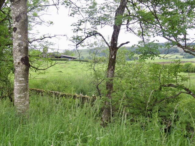
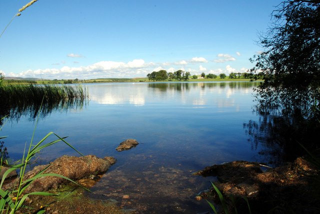
Barfil Hill is a prominent hill located in Kirkcudbrightshire, a historic county in Dumfries and Galloway, Scotland. Rising to an elevation of approximately 190 meters (623 feet), it is known for its stunning panoramic views and captivating natural beauty.

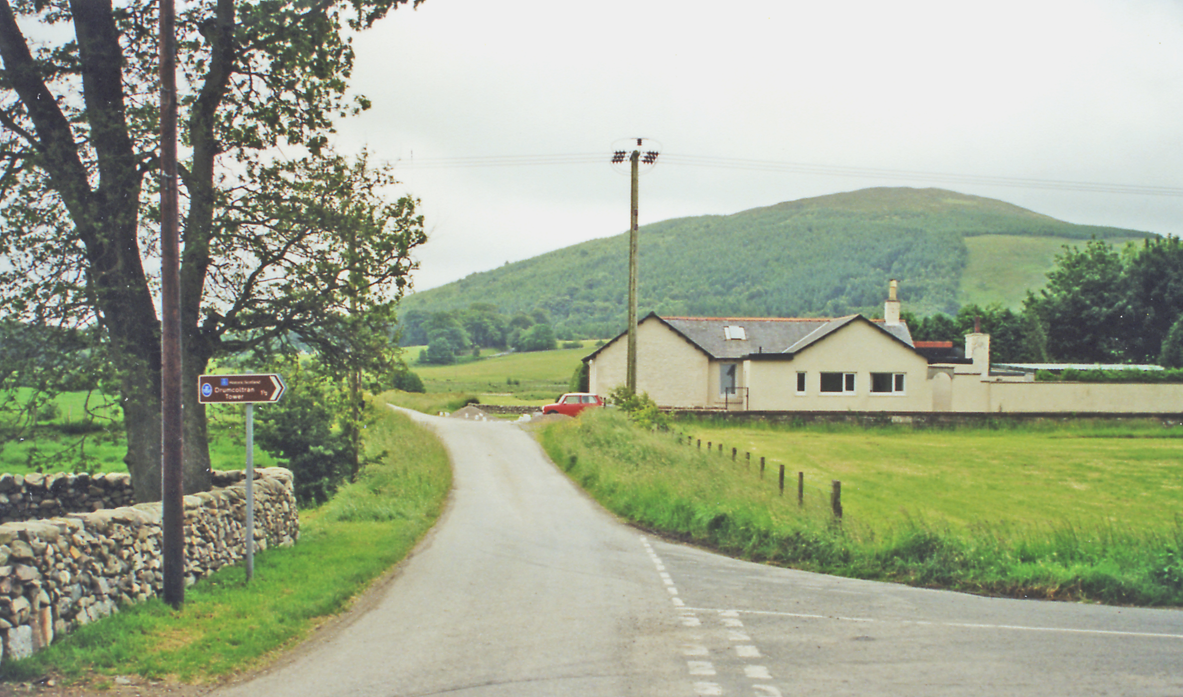
Situated near the town of Kirkcudbright, Barfil Hill offers a relatively easy climb for hikers and outdoor enthusiasts. Its gentle slopes and well-defined trails make it accessible to people of all ages and fitness levels. The summit of the hill provides visitors with breathtaking vistas of the surrounding landscape, including the picturesque Solway Firth and the rolling Galloway Hills.

The hill is covered in a mix of grasses, heather, and scattered trees, creating a diverse habitat for a variety of plant and animal species. Wildlife enthusiasts may spot birds of prey, such as kestrels and buzzards, as well as various songbirds and small mammals.

Barfil Hill is also steeped in history, with traces of ancient settlements and archaeological sites found in the area. These remnants offer glimpses into the lives of early inhabitants and add to the allure of the hill.

Whether it's for a leisurely stroll or a more challenging hike, a visit to Barfil Hill promises a memorable experience. Its natural beauty, stunning views, and historical significance make it a must-visit destination for nature lovers and history enthusiasts alike.

If you have any feedback on the listing, please let us know in the comments section below.
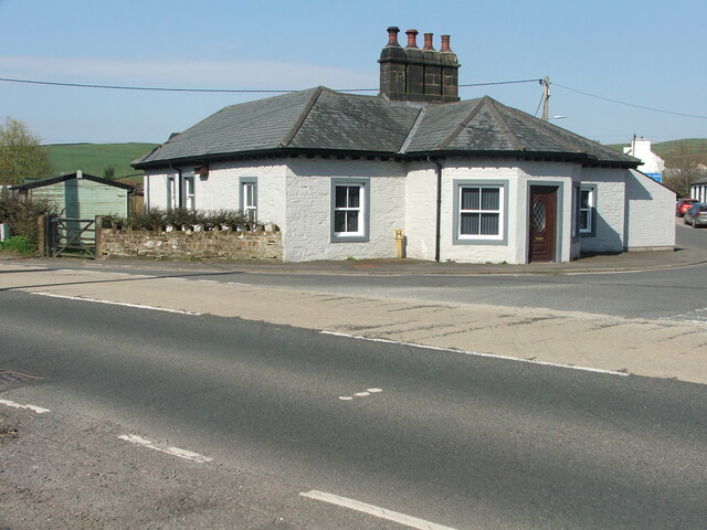
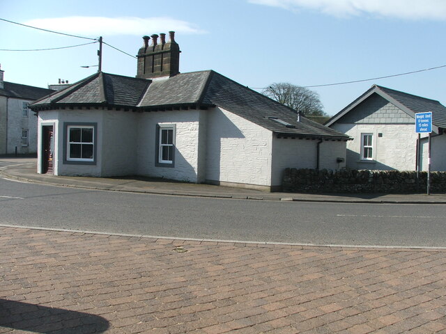
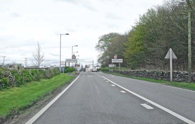
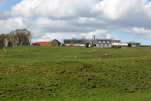
Barfil Hill Images

Images are sourced within 2km of 55.041231/-3.8028782 or Grid Reference NX8473. Thanks to Geograph Open Source API. All images are credited.

View from a layby, Larglea On the A75
View from a layby, Larglea
On the A75
A row of cottages on the A75 At the western end of Crocketford or Ninemile Bar. Known simply as Crocketford on the GB1900.org map. It is approximately equidistant between Castle Douglas and Dumfries.
A row of cottages on the A75
At the western end of Crocketford or Ninemile Bar. Known simply as Crocketford on the GB1900.org map. It is approximately equidistant between Castle Douglas and Dumfries.
Horses and a Dragon at Brass Tacks Some fine life-like sculptures at Brass Tacks at Home, a supplier of upholstery services, garden ornaments, bronzes etc., etc.
Horses and a Dragon at Brass Tacks
Some fine life-like sculptures at Brass Tacks at Home, a supplier of upholstery services, garden ornaments, bronzes etc., etc.
Bronzes at Brass Tacks, Crocketford A range of life-like sculptures at Brass Tacks at Home, a supplier of upholstery services, garden ornaments, bronzes etc., etc.
Bronzes at Brass Tacks, Crocketford
A range of life-like sculptures at Brass Tacks at Home, a supplier of upholstery services, garden ornaments, bronzes etc., etc.
Old tollhouse A view across the A75 of the tollhouse at the A75/A712 junction in Crocketford/Nine Mile Bar.   An interesting feature is the central 4 stack chimneys.   The windows are 4 pane rectangular sash.
Old tollhouse
A view across the A75 of the tollhouse at the A75/A712 junction in Crocketford/Nine Mile Bar. An interesting feature is the central 4 stack chimneys. The windows are 4 pane rectangular sash.
Old tollhouse A view of Crocketford tollhouse across the A715.   The original building was designed by A Halliday of Dumfries in 1834 with additions in later years.
Old tollhouse
A view of Crocketford tollhouse across the A715. The original building was designed by A Halliday of Dumfries in 1834 with additions in later years.
Entrance to Bettyknowes Farm
Entering Crocketford ... via the A75
Entering Crocketford
... via the A75
Layby on part of the old route of the A75, Crocketford
Barnbackle Farm The farm was viewed from the Old Military Road.
Barnbackle Farm
The farm was viewed from the Old Military Road.
Little Milton Farm This telephoto shot was taken from the south side of Milton Loch.
Little Milton Farm
This telephoto shot was taken from the south side of Milton Loch.
The A75 north-east of Crocketford
Junction at Crocketford The junction of the A712 and the A75 outside the Galloway Arms at Crocketford.
Junction at Crocketford
The junction of the A712 and the A75 outside the Galloway Arms at Crocketford.
Layby on the A75 near Crocketford The A75 is a Primary Trunk Road; the main through route for traffic between northern England and Northern Ireland (more specifically the ferry terminal from Cairnryan to Belfast and Larne). It runs for 95½ miles between Stranraer and the A74(M) at Gretna, close to the Border with England and the M6 Motorway. Although it is an important trunk route (it is also a Euroroute, the E18), and has been subject to a number of upgrades over the years, the majority of the road is still single-carriageway although there are a few short dual carriageway sections and some three-lane sections which allow overtaking in one direction.
Layby on the A75 near Crocketford
The A75 is a Primary Trunk Road; the main through route for traffic between northern England and Northern Ireland (more specifically the ferry terminal from Cairnryan to Belfast and Larne). It runs for 95½ miles between Stranraer and the A74(M) at Gretna, close to the Border with England and the M6 Motorway. Although it is an important trunk route (it is also a Euroroute, the E18), and has been subject to a number of upgrades over the years, the majority of the road is still single-carriageway although there are a few short dual carriageway sections and some three-lane sections which allow overtaking in one direction.
A75 near Crocketford The A75 is a Primary Trunk Road; the main through route for traffic between northern England and Northern Ireland (more specifically the ferry terminal from Cairnryan to Belfast and Larne). It runs for 95½ miles between Stranraer and the A74(M) at Gretna, close to the Border with England and the M6 Motorway. Although it is an important trunk route (it is also a Euroroute, the E18), and has been subject to a number of upgrades over the years, the majority of the road is still single-carriageway although there are a few short dual carriageway sections and some three-lane sections which allow overtaking in one direction.
A75 near Crocketford
The A75 is a Primary Trunk Road; the main through route for traffic between northern England and Northern Ireland (more specifically the ferry terminal from Cairnryan to Belfast and Larne). It runs for 95½ miles between Stranraer and the A74(M) at Gretna, close to the Border with England and the M6 Motorway. Although it is an important trunk route (it is also a Euroroute, the E18), and has been subject to a number of upgrades over the years, the majority of the road is still single-carriageway although there are a few short dual carriageway sections and some three-lane sections which allow overtaking in one direction.
Former Toll House by Ninemile Bar or Crocketford Crocketford Toll House by the A75, in parish of Crocketford (Dumfries and Galloway District), Toll House, Maiden Row.

HES Scotland Category 'B' listed.
Reference: LB9669 <span class="nowrap"><a title="http://portal.historicenvironment.scot/designation/LB9669" rel="nofollow ugc noopener" href="http://portal.historicenvironment.scot/designation/LB9669">Link</a><img style="margin-left:2px;" alt="External link" title="External link - shift click to open in new window" src="https://s1.geograph.org.uk/img/external.png" width="10" height="10"/></span>

Surveyed

Milestone Society National ID: DG.CRO
Former Toll House by Ninemile Bar or Crocketford
Crocketford Toll House by the A75, in parish of Crocketford (Dumfries and Galloway District), Toll House, Maiden Row. HES Scotland Category 'B' listed. Reference: LB9669 LinkExternal link Surveyed Milestone Society National ID: DG.CRO
Pasture, Rigfoot Two hares pass a pipeline marker.
Pasture, Rigfoot
Two hares pass a pipeline marker.
Cones, Rigfoot The Old Military Road.
Cones, Rigfoot
The Old Military Road.
Show me another place!

Barfil Hill is located at Grid Ref: NX8473 (Lat: 55.041231, Lng: -3.8028782)

Unitary Authority: Dumfries and Galloway

Police Authority: Dumfries and Galloway

What 3 Words

///overpower.circling.mining. Near Dalbeattie, Dumfries & Galloway

Nearby Locations

Barfil Hill

Related Wikis

Crocketford

Crocketford (/ˈkrɒkɪtfɔːd/, also frequently /ˈkrɒkɪtfəd/) also known as Ninemile Bar (Scottish Gaelic: Ath Crogaid), as it is approximately equidistant...

Milton Loch

Milton Loch is an alkaline freshwater loch located in Dumfries and Galloway, Scotland. In the loch and nearby are archaeological sites including three...

Glenkiln Sculpture Park

Glenkiln Sculpture Park was a sculpture landscape in the historic county of Kirkcudbrightshire in Dumfries and Galloway, south-west Scotland. After one...

Lochrutton Loch

Lochrutton Loch is a large, lowland freshwater loch that lies to the west of Dumfries, Scotland. The loch trends from north to south and is 0.75 mi (1...

Springholm

Springholm is a village in the historical county of Kirkcudbrightshire in Dumfries and Galloway, Scotland. It is located 14 miles (23 km) west of Dumfries...

Killywhan railway station

Killywhan railway station served the hamlet of Killywhan, Dumfries and Galloway, Scotland from 1859 to 1959 on the Castle Douglas and Dumfries Railway...

Beeswing, Dumfries and Galloway

Beeswing is a small village in the historical county of Kirkcudbrightshire in Scotland. == Etymology == Before Beeswing became known as Beeswing, it was...
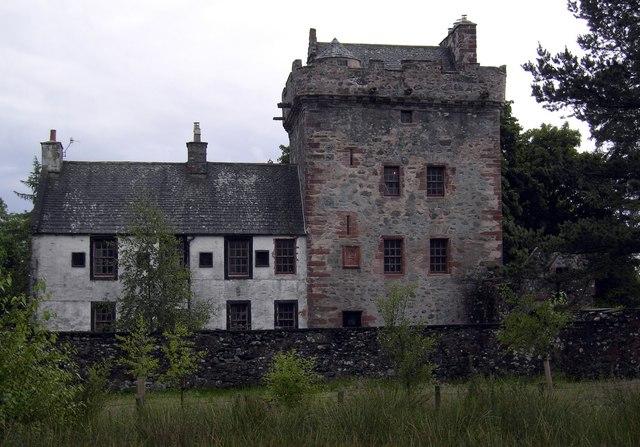
Hills Tower

Hills Tower is a sixteenth-century square tower house, with an adjoining eighteenth-century wing, near Dumfries in Scotland. Originally built around 1527...

Have you been to Barfil Hill?

Leave your review of Barfil Hill below (or comments, questions and feedback).