Bryn Du
Hill, Mountain in Montgomeryshire
Wales
Bryn Du

Bryn Du is a picturesque hill located in the county of Montgomeryshire, Wales. Standing at an elevation of approximately 1,200 feet, it is considered one of the prominent landmarks in the region. The name Bryn Du translates to "Black Hill" in English, referencing its dark appearance against the surrounding landscape.
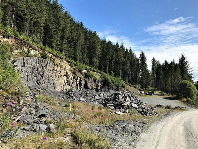
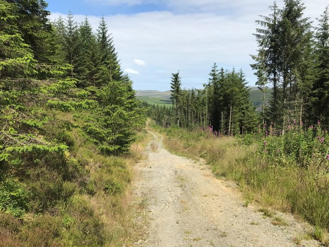
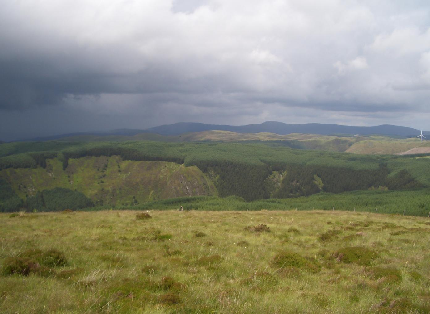
Covered in lush green vegetation, Bryn Du offers stunning panoramic views of the Montgomeryshire countryside. The hill is characterized by its gentle slopes and a prominent peak that provides a challenging hike for outdoor enthusiasts. The summit offers a breathtaking vista, allowing visitors to gaze upon the rolling hills, meandering rivers, and quaint villages that dot the area.
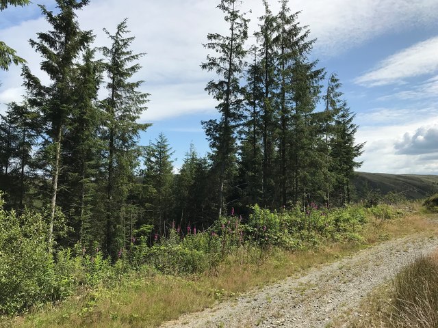
Bryn Du is home to a diverse range of flora and fauna, making it an ideal spot for nature lovers. The hill is covered in heather, gorse, and various wildflowers, creating a vibrant and colorful environment. It serves as a habitat for numerous bird species, including buzzards, kestrels, and skylarks, providing a haven for birdwatchers.
The hill is easily accessible, with well-maintained trails and footpaths leading to the summit. Visitors can enjoy a leisurely stroll through the surrounding countryside or embark on a more challenging hike to reach the top. Along the way, they may come across ancient ruins and historical landmarks that add to the charm and intrigue of Bryn Du.
Bryn Du is a popular destination for outdoor activities such as hiking, picnicking, and photography. Its natural beauty, combined with its rich history and stunning views, make it a must-visit location for both locals and tourists alike.
If you have any feedback on the listing, please let us know in the comments section below.
Bryn Du Images
Images are sourced within 2km of 52.406426/-3.6992185 or Grid Reference SN8480. Thanks to Geograph Open Source API. All images are credited.


Bryn Du is located at Grid Ref: SN8480 (Lat: 52.406426, Lng: -3.6992185)
Unitary Authority: Powys
Police Authority: Dyfed Powys
What 3 Words
///golden.surviving.aviation. Near Cwmystwyth, Ceredigion
Nearby Locations
Related Wikis
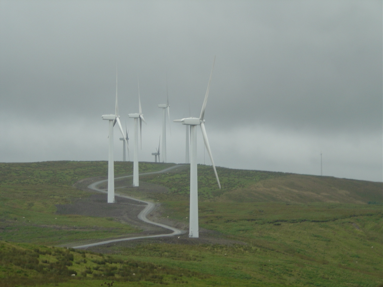
Cefn Croes Wind Farm
Cefn Croes is a wind farm in Ceredigion, Wales. It is located in the Cambrian Mountains on Cefn Croes mountain, 573m (1,880 ft) south of the A44 road between...

Y Glog (mountain)
Y Glog or Draws Drum is a mountain situated in Ceredigion, Wales. It stands at an elevation of 574 metres (1883 feet) above sea level and is located a...
Pen y Garn
Pen y Garn is a mountain in the Cambrian Mountains, Mid Wales standing at 611 metres above sea level. Pen y Garn tops a 500–600 m high plateau, which includes...

Elvis Rock
The Elvis Rock is a rock alongside the A44 in Powys, Wales, near its border with Ceredigion. It is one of the most well known pieces of graffiti in Wales...
Nearby Amenities
Located within 500m of 52.406426,-3.6992185Have you been to Bryn Du?
Leave your review of Bryn Du below (or comments, questions and feedback).