Hog House Hill

Hill, Mountain in Kirkcudbrightshire

Scotland

Hog House Hill

Granite outcrop shore The shore here comprises solid granite outcrop, albeit fissured and jointed. Where the rock is clean and free of colourful lichen, the granite has a pronounced red tint which is characteristic of the southern, marginal part of the large intrusive mass.
Granite outcrop shore Credit: Jonathan Wilkins

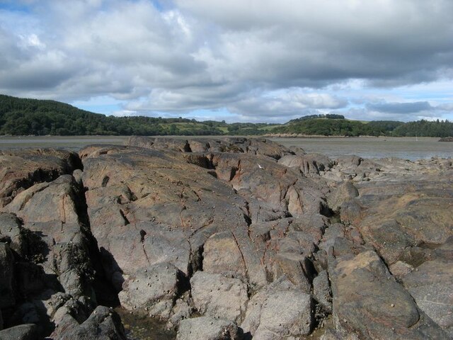
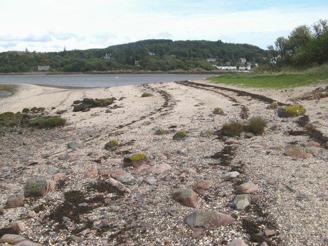
Hog House Hill is a prominent hill located in the region of Kirkcudbrightshire, southwest Scotland. Rising to an elevation of approximately 200 meters (656 feet), it is considered a notable natural feature in the area. The hill is characterized by its gently sloping sides, covered in lush green vegetation, which add to its picturesque appeal.

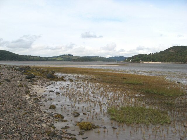
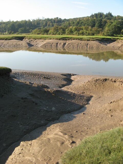
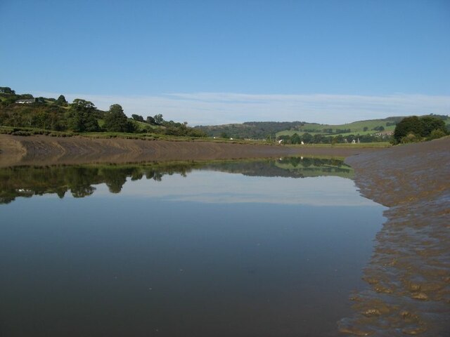
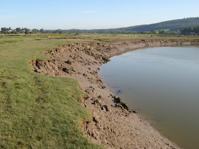
Situated in close proximity to the town of Kirkcudbright, Hog House Hill offers visitors an opportunity to enjoy panoramic views of the surrounding landscape. From the summit, one can observe the rolling hills, fertile farmlands, and meandering rivers that make up the picturesque countryside of Kirkcudbrightshire.

The hill is accessible via well-marked trails and paths, making it a popular destination for hikers and nature enthusiasts. Its relatively moderate gradient makes it suitable for visitors of varying fitness levels, providing a pleasant and enjoyable hiking experience.

Hog House Hill is also known for its rich biodiversity. The area is home to a diverse range of flora and fauna, including various bird species, small mammals, and a variety of plant life. Nature lovers can revel in the opportunity to spot and appreciate the local wildlife while exploring the hill's trails.

Overall, Hog House Hill offers a tranquil and scenic escape for those seeking to immerse themselves in the natural beauty of Kirkcudbrightshire. With its stunning views and abundant wildlife, it is a must-visit destination for both locals and tourists alike.

If you have any feedback on the listing, please let us know in the comments section below.

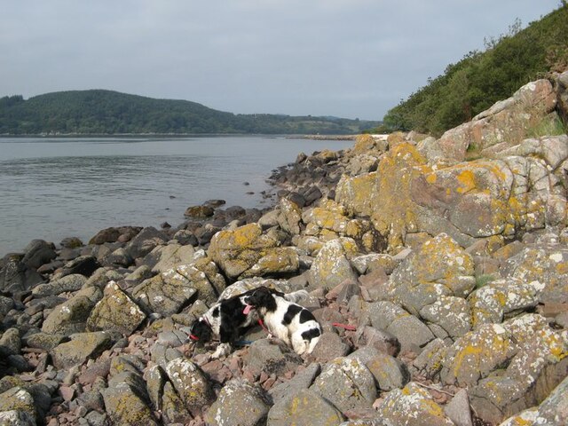
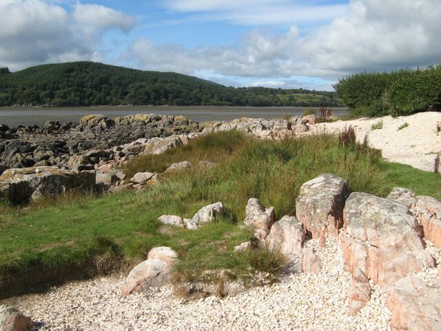
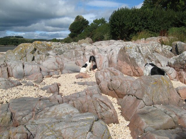
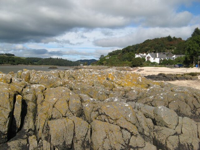
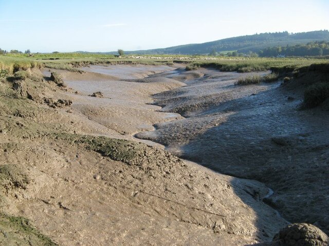
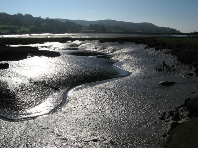
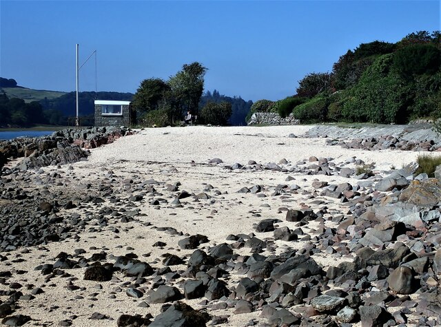
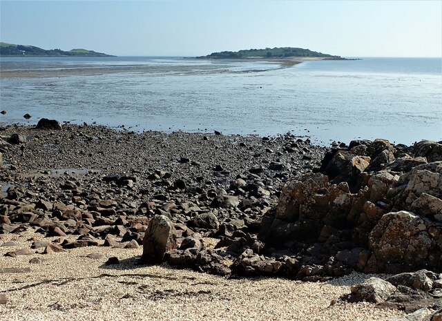
Hog House Hill Images

Images are sourced within 2km of 54.879228/-3.8034612 or Grid Reference NX8455. Thanks to Geograph Open Source API. All images are credited.

Granite outcrop shore The shore here comprises solid granite outcrop, albeit fissured and jointed. Where the rock is clean and free of colourful lichen, the granite has a pronounced red tint which is characteristic of the southern, marginal part of the large intrusive mass.
Granite outcrop shore
The shore here comprises solid granite outcrop, albeit fissured and jointed. Where the rock is clean and free of colourful lichen, the granite has a pronounced red tint which is characteristic of the southern, marginal part of the large intrusive mass.
Shell banks A curious feature of the coast here is the presence of storm beaches comprising nothing but cockle shells, which make a very colourful contrast with the rock outcrop and marshy turf.
Shell banks
A curious feature of the coast here is the presence of storm beaches comprising nothing but cockle shells, which make a very colourful contrast with the rock outcrop and marshy turf.
Polished granite, Roughfirth The shore at Roughfirth has abundant granite outcrop which is kept wonderfully clean by erosive wave action. The granite is more compact here, with fewer joints and fissures, so has been eroded and polished into smooth, rounded pillows with a fine pinkish hue. The environs of the Criffel-Daleattie Granite Pluton are a geologist's dream.
Polished granite, Roughfirth
The shore at Roughfirth has abundant granite outcrop which is kept wonderfully clean by erosive wave action. The granite is more compact here, with fewer joints and fissures, so has been eroded and polished into smooth, rounded pillows with a fine pinkish hue. The environs of the Criffel-Daleattie Granite Pluton are a geologist's dream.
Lichen-encrusted outcrop Fissured granite outcrop lies above the maximum tide level, so is a favourable habitat for the characteristic Caloplaca and Lecanora lichens.
Lichen-encrusted outcrop
Fissured granite outcrop lies above the maximum tide level, so is a favourable habitat for the characteristic Caloplaca and Lecanora lichens.
Ice-smoothed outcrop This area of rock outcrop lies entirely below the maximum high-tide level, as can be seen from the encrusting molluscs, so it has none of the lichens which are characteristic of the upper shore. The clean rock shows obvious signs of erosion by glacial action, presumably due to an ice stream moving down the valley of the Urr from higher ground inland.
Ice-smoothed outcrop
This area of rock outcrop lies entirely below the maximum high-tide level, as can be seen from the encrusting molluscs, so it has none of the lichens which are characteristic of the upper shore. The clean rock shows obvious signs of erosion by glacial action, presumably due to an ice stream moving down the valley of the Urr from higher ground inland.
Ready to go A fleet of sailing dinghies ready to take to the water at the Solway Yacht Club slipway.
Ready to go
A fleet of sailing dinghies ready to take to the water at the Solway Yacht Club slipway.
Boat storage Boats standing on saltmarsh above the normal tide level.
Boat storage
Boats standing on saltmarsh above the normal tide level.
Samphire bed A patch of muddy sand near to the causeway has a fine growth of samphire.
Samphire bed
A patch of muddy sand near to the causeway has a fine growth of samphire.
Shore by the causeway The shelly beach near to the causeway, which appears to be a form of tombolo.
Shore by the causeway
The shelly beach near to the causeway, which appears to be a form of tombolo.
Muddy river banks Mud banks at the side of Urr Water on a falling tide, though there is a good way to go yet.
Muddy river banks
Mud banks at the side of Urr Water on a falling tide, though there is a good way to go yet.
Morning reflections Still water on the Urr in the early morning.
Morning reflections
Still water on the Urr in the early morning.
Riverbank and salt marsh Diverse habitats in the estuary of Urr Water, which meanders in an impressive fashion.
Riverbank and salt marsh
Diverse habitats in the estuary of Urr Water, which meanders in an impressive fashion.
Creek meanders Fabulous, sinuous forms and billowing banks in the mud of a tidal creek.
Creek meanders
Fabulous, sinuous forms and billowing banks in the mud of a tidal creek.
Mud reflections Fabulous forms highlighted by reflection in this contra-jour image of a meandering creek at low tide.
Mud reflections
Fabulous forms highlighted by reflection in this contra-jour image of a meandering creek at low tide.
Shell Beach Kippford One of the shell beaches just out from Kippford. The beaches around this part of the coast are made from broken cockle shells.
Shell Beach Kippford
One of the shell beaches just out from Kippford. The beaches around this part of the coast are made from broken cockle shells.
Rocky Shore Kippford Rocky shore just off the shell beach looking out towards Rough Island. The sand bank showing at low tide is known as the causeway. Although possible to walk out at the right state of the tide, the National Trust for Scotland ask visitors to keep off the Island from the 1st of March until the 31st of July to protect and avoid disturbing the nesting bird colonies.
Rocky Shore Kippford
Rocky shore just off the shell beach looking out towards Rough Island. The sand bank showing at low tide is known as the causeway. Although possible to walk out at the right state of the tide, the National Trust for Scotland ask visitors to keep off the Island from the 1st of March until the 31st of July to protect and avoid disturbing the nesting bird colonies.
Shell Beach, Roughfirth Road The shell beach located at the end of Roughfirth Road just out of Kippford. The Hawthorn Tree seen on the left won Woodland Trust Tree of the Year 2021 <span class="nowrap"><a title="https://www.woodlandtrust.org.uk/trees-woods-and-wildlife/british-trees/tree-of-the-year/" rel="nofollow ugc noopener" href="https://www.woodlandtrust.org.uk/trees-woods-and-wildlife/british-trees/tree-of-the-year/">Link</a><img style="margin-left:2px;" alt="External link" title="External link - shift click to open in new window" src="https://s1.geograph.org.uk/img/external.png" width="10" height="10"/></span>
Shell Beach, Roughfirth Road
The shell beach located at the end of Roughfirth Road just out of Kippford. The Hawthorn Tree seen on the left won Woodland Trust Tree of the Year 2021 LinkExternal link
Kippford shore Kippford shore.
Kippford shore
Kippford shore.
Show me another place!

Hog House Hill is located at Grid Ref: NX8455 (Lat: 54.879228, Lng: -3.8034612)

Unitary Authority: Dumfries and Galloway

Police Authority: Dumfries and Galloway

What 3 Words

///chipper.crunching.eternally. Near Dalbeattie, Dumfries & Galloway

Related Wikis

Rockcliffe, Dumfries and Galloway

Rockcliffe is a small, coastal village in Kirkcudbrightshire, Dumfries and Galloway in Scotland, with a view of Rough Island, Hestan Island, the Solway...

Kippford

Kippford (/ˈkɪpfəd/; otherwise Scaur) is a small village along the Solway coast, in the historic county of Kirkcudbrightshire in Dumfries and Galloway...

Rough Firth

Rough Firth is an inlet on the northern coast of the Solway Firth in the Stewartry area of Dumfries and Galloway, Scotland. The firth lies between Almorness...

Rough Island, Scotland

"Rough Island" is also used as a translation of "Garbh Eilean", a common Scottish name for islandsRough Island is a 20-acre (8 ha) uninhabited tidal island...

Colvend and Southwick

Colvend and Southwick is a community council area and civil parish within the Stewartry area of Dumfries and Galloway, Scotland. It is also part of the...

Palnackie

Palnackie is a village in the parish of Buittle in the historical county of Kirkcudbrightshire in Dumfries and Galloway, Scotland. It has a population...

Orchardton Castle

Orchardton Castle overlooks the Solway Coast. Built in the 1880s, this is a Grade B listed property formerly known as Orchardton House. Built around a...

Hestan Island

Hestan Island is a small coastal island at the southern foot of the River Urr estuary in the Solway Firth, in the historical county of Kirkcudbrightshire...

Nearby Amenities

Located within 500m of 54.879228,-3.8034612
Mark Hill
Natural: peak
Lat/Long: 54.8760389/-3.8036664
Power: pole
Lat/Long: 54.8820023/-3.808469
Power: pole
Lat/Long: 54.8816325/-3.8077095
Power: pole
Lat/Long: 54.8808283/-3.8071346
Power: pole
Lat/Long: 54.8802217/-3.8066806
Power: pole
Lat/Long: 54.8795968/-3.806216
Power: pole
Lat/Long: 54.8786229/-3.8055478
Power: pole
Lat/Long: 54.8778418/-3.8066573
Power: pole
Lat/Long: 54.8773011/-3.8074656
Power: pole
Lat/Long: 54.8767909/-3.808225
Power: pole
Lat/Long: 54.8763588/-3.8091076
Power: pole
Lat/Long: 54.881303/-3.8090121
Power: pole
Lat/Long: 54.8807282/-3.8094279
Power: pole
Lat/Long: 54.8819852/-3.806704
Power: pole
Lat/Long: 54.882344/-3.8060803
The data included in this document is from www.openstreetmap.org. The data is made available under ODbL.

Have you been to Hog House Hill?

Leave your review of Hog House Hill below (or comments, questions and feedback).