Downes Head
Hill, Mountain in Devon Mid Devon
England
Downes Head
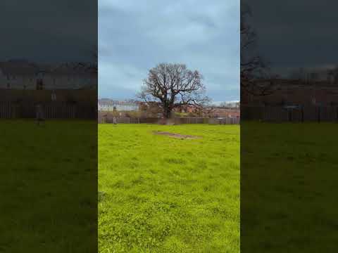
Downes Head is a prominent hill located in the county of Devon, England. Situated within the Dartmoor National Park, it forms part of the expansive Moorland landscape that characterizes the region. Standing at an elevation of approximately 1,467 feet (447 meters), it offers breathtaking panoramic views of the surrounding countryside.
The hill is known for its distinctive rocky outcrops and heather-covered slopes, which add to its rugged beauty. It is a popular destination for hikers, walkers, and nature enthusiasts, who are drawn to its tranquil atmosphere and the opportunity to explore the diverse flora and fauna that inhabit the area.
Downes Head is also steeped in history, with evidence of human activity dating back thousands of years. Remnants of prehistoric settlements, including stone circles and burial mounds, can be found on the hill, providing insights into the ancient civilizations that once thrived in the area.
Additionally, the hill offers a variety of recreational activities, such as rock climbing and birdwatching, making it a popular spot for outdoor enthusiasts. Its location within Dartmoor National Park means that it is well-maintained and easily accessible, with designated footpaths and trails that allow visitors to navigate the terrain safely.
In conclusion, Downes Head is a remarkable hill in Devon, offering stunning vistas, a rich historical heritage, and a range of outdoor activities. It is a must-visit destination for those seeking to immerse themselves in the natural beauty and cultural significance of Dartmoor National Park.
If you have any feedback on the listing, please let us know in the comments section below.
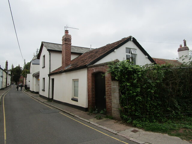
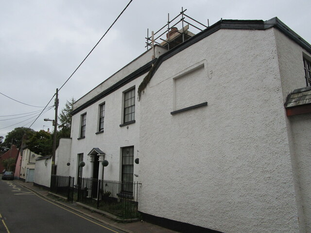
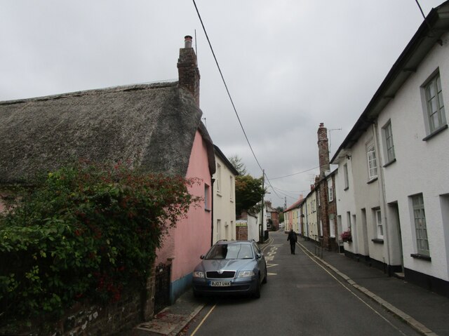
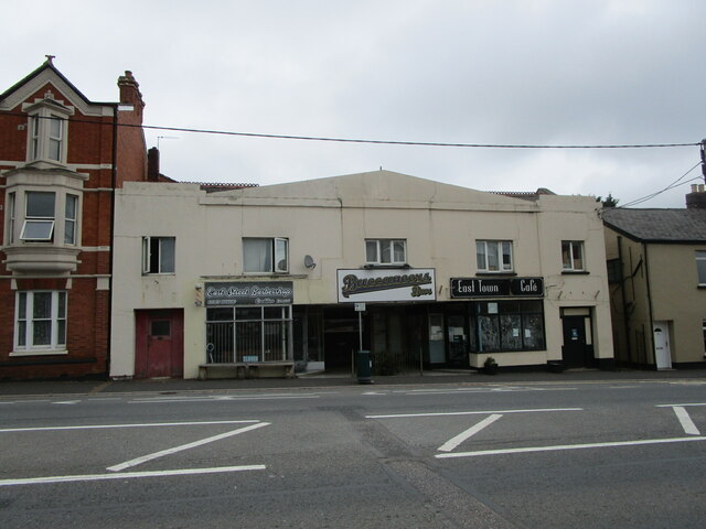
Downes Head Images
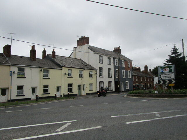
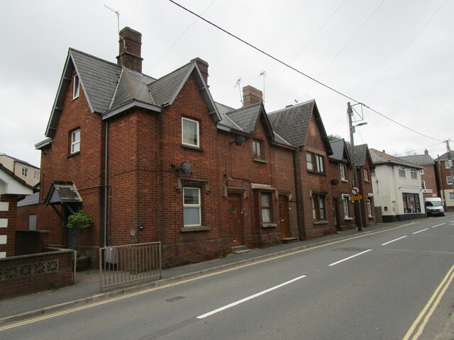
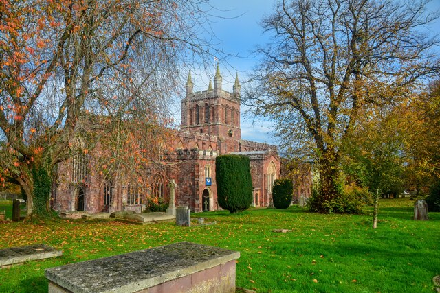
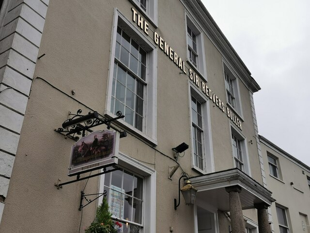
Images are sourced within 2km of 50.78832/-3.6415911 or Grid Reference SS8400. Thanks to Geograph Open Source API. All images are credited.

Downes Head is located at Grid Ref: SS8400 (Lat: 50.78832, Lng: -3.6415911)
Administrative County: Devon
District: Mid Devon
Police Authority: Devon and Cornwall
What 3 Words
///shunts.sleepers.gazes. Near Crediton, Devon
Nearby Locations
Related Wikis

Crediton United A.F.C.
Crediton United Association Football Club is a football club based in Crediton, Devon, England. They are currently members of the South West Peninsula...
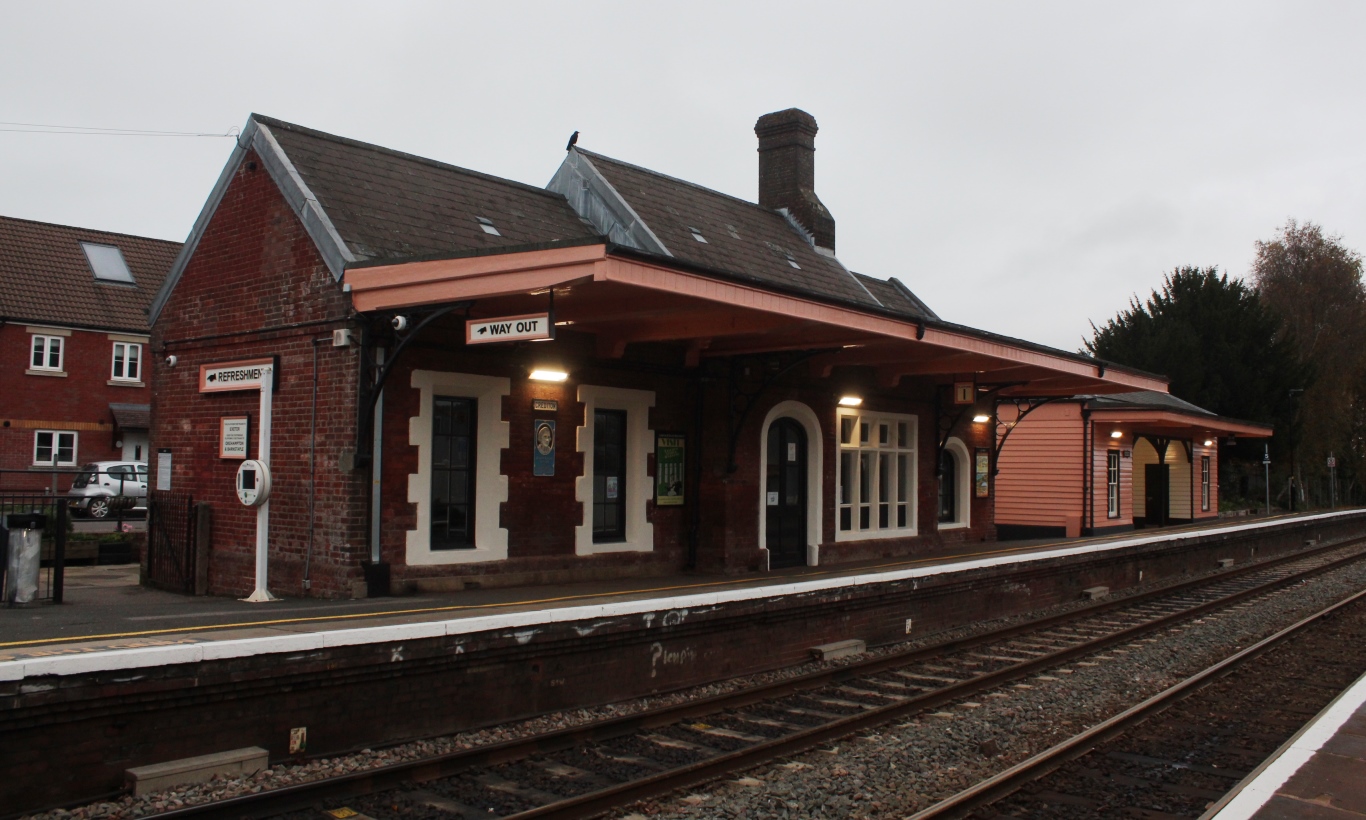
Crediton railway station
Crediton railway station is a railway station serving the town of Crediton in Devon, England. It is 7 miles 76 chains (12.8 km) from Exeter Central at...

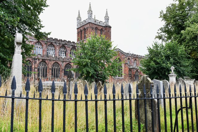
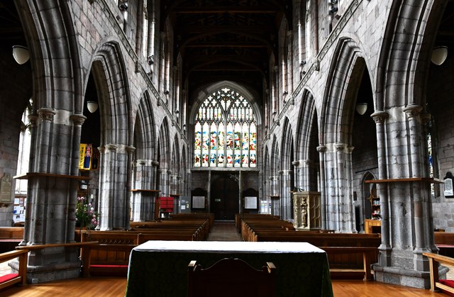
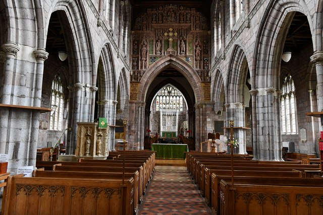
Crediton Parish Church
Crediton Parish Church, formally the Collegiate Church of the Holy Cross and the Mother of Him who Hung Thereon, is a prominent building and worshipping...
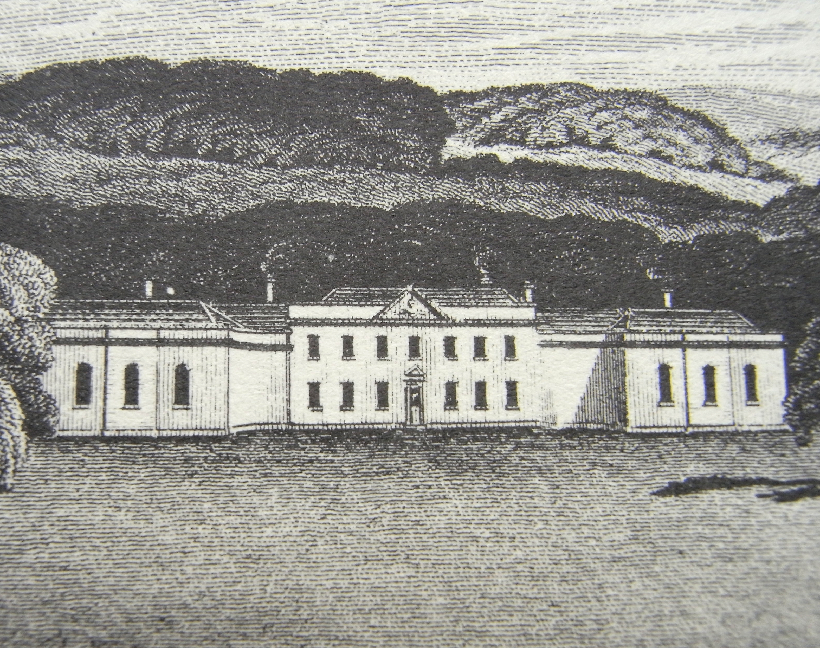
Downes, Crediton
Downes House is situated about one mile east of Crediton in Devon. The house is an 18th-century Palladian re-modelling of an earlier house. It was classed...
Related Videos

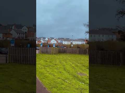
WALKING AROUND CREDITON TOWN, Devon England ||PINAYsaUK
Hello everyone, This is the second part of walking around the Town of Crediton just a round the busy high street. Please comment ...

Old School Moto Velo Custom Shop Devon
Union Road Moto Velo in Crediton Devon - The old school Custom cafe and bike shop where the cool bikers go! You can check ...
Nearby Amenities
Located within 500m of 50.78832,-3.6415911Have you been to Downes Head?
Leave your review of Downes Head below (or comments, questions and feedback).