Burnfell Hill
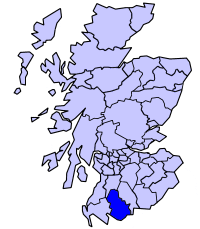
Hill, Mountain in Kirkcudbrightshire
Scotland
Burnfell Hill
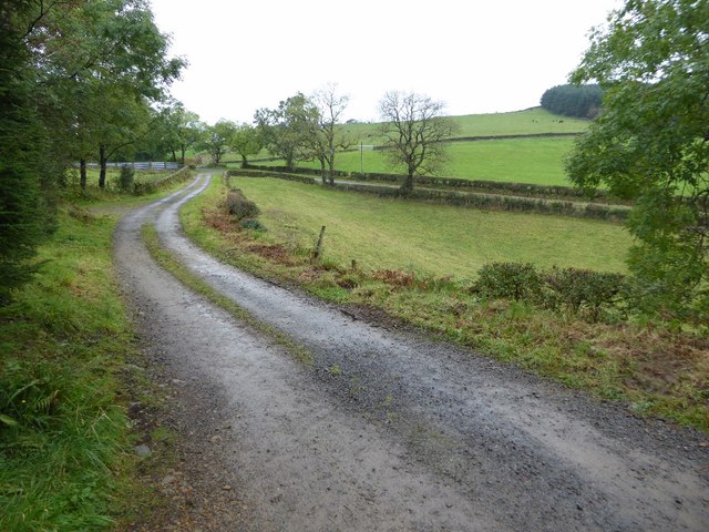
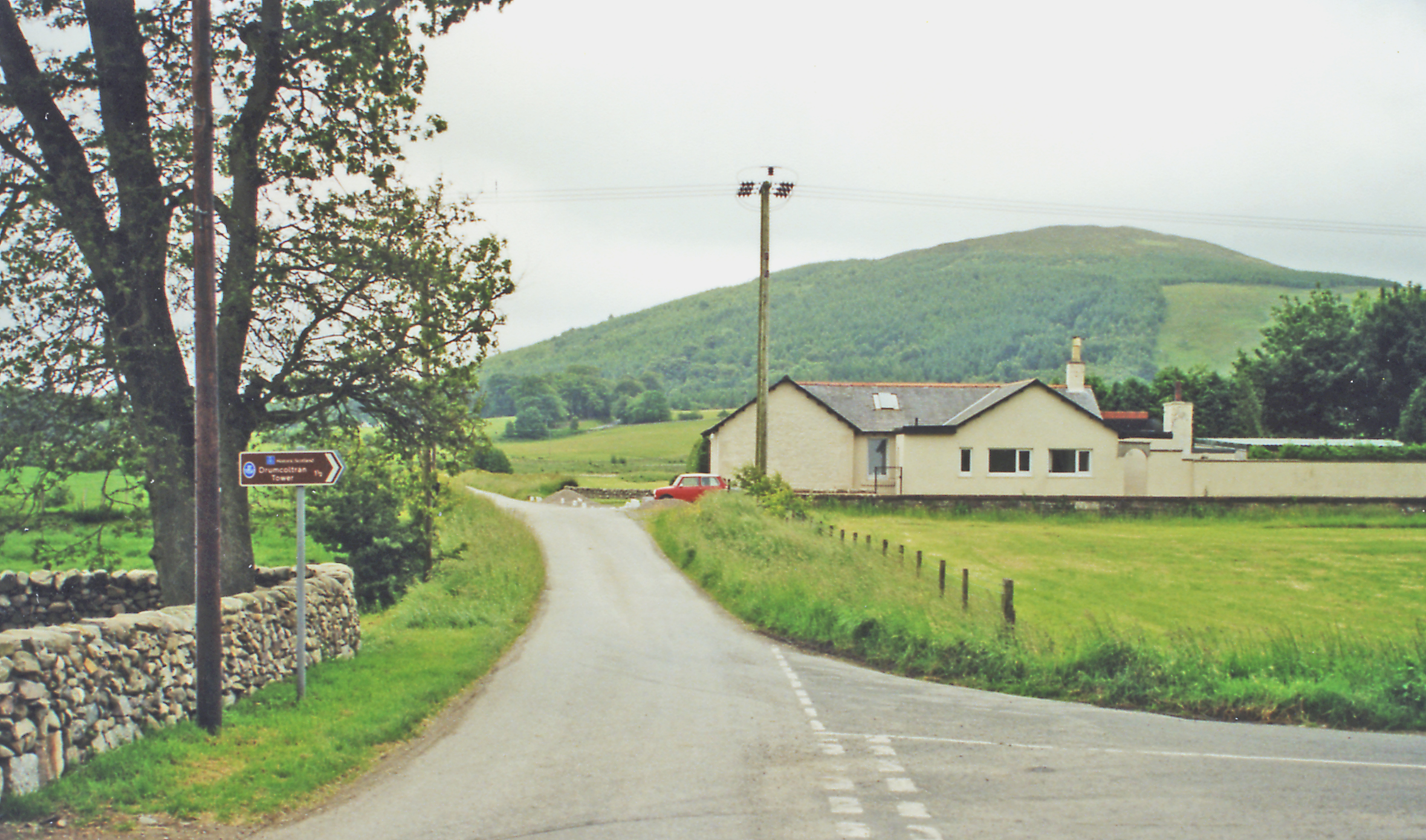
Burnfell Hill is a prominent hill located in Kirkcudbrightshire, a historic county in the southwest of Scotland. Situated near the village of Kirkpatrick Durham, it is part of the scenic landscape of the area and offers stunning panoramic views of the surrounding countryside.
Rising to an elevation of approximately 280 meters (920 feet), Burnfell Hill is a notable feature in the region. Its terrain is characterized by gentle slopes, covered in lush green vegetation, including heather, grasses, and scattered shrubs. The hill is primarily composed of granite, giving it a rugged and rocky appearance.
At the summit of Burnfell Hill, there is a trig point which serves as a marker for surveying purposes. This spot is a popular destination for hikers and nature enthusiasts, providing an ideal vantage point to admire the picturesque countryside, with its rolling hills, meandering rivers, and quaint villages.
The hill is also home to a variety of wildlife, including birds such as skylarks, meadow pipits, and curlews. Rabbits, foxes, and occasional deer can also be spotted in the surrounding area.
Burnfell Hill is easily accessible by foot, with several walking paths and trails leading to its summit. It offers a peaceful and tranquil setting, perfect for outdoor activities such as walking, picnicking, and photography.
Overall, Burnfell Hill is a beautiful and serene natural landmark in Kirkcudbrightshire, attracting visitors with its scenic beauty, diverse flora and fauna, and captivating views of the surrounding countryside.
If you have any feedback on the listing, please let us know in the comments section below.
Burnfell Hill Images
Images are sourced within 2km of 55.016151/-3.8128887 or Grid Reference NX8470. Thanks to Geograph Open Source API. All images are credited.


Burnfell Hill is located at Grid Ref: NX8470 (Lat: 55.016151, Lng: -3.8128887)
Unitary Authority: Dumfries and Galloway
Police Authority: Dumfries and Galloway
What 3 Words
///generated.inflates.insurance. Near Dalbeattie, Dumfries & Galloway
Nearby Locations
Related Wikis
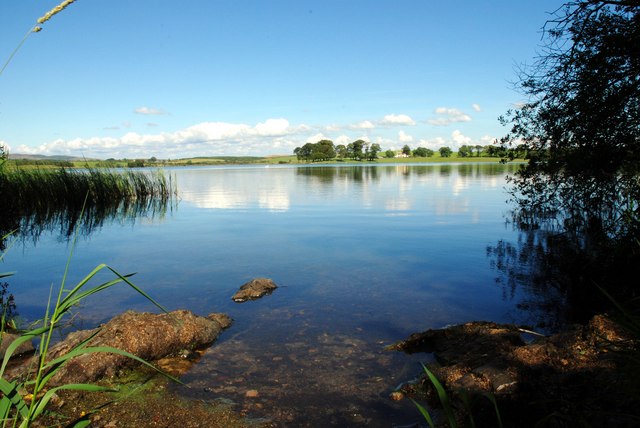
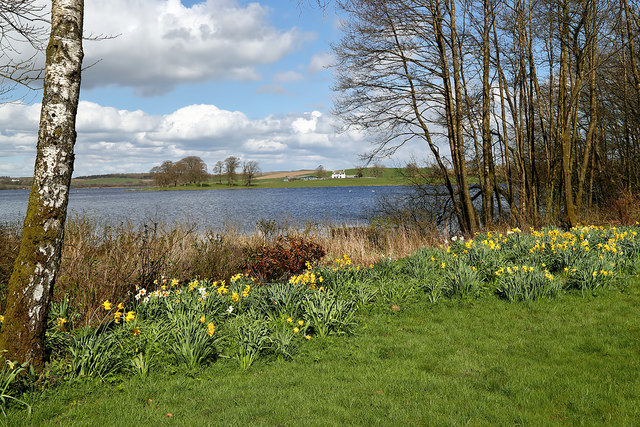
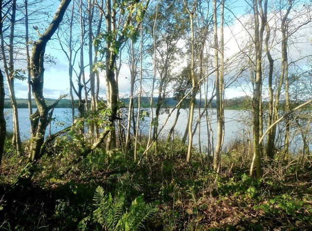
Milton Loch
Milton Loch is an alkaline freshwater loch located in Dumfries and Galloway, Scotland. In the loch and nearby are archaeological sites including three...

Crocketford
Crocketford (/ˈkrɒkɪtfɔːd/, also frequently /ˈkrɒkɪtfəd/) also known as Ninemile Bar (Scottish Gaelic: Ath Crogaid), as it is approximately equidistant...

Springholm
Springholm is a village in the historical county of Kirkcudbrightshire in Dumfries and Galloway, Scotland. It is located 14 miles (23 km) west of Dumfries...
Stewartry
Stewartry was a local government district from 1975 until 1996 within the Dumfries and Galloway region in south-west Scotland. Under the name Stewartry...

Kirkgunzeon
Kirkgunȝeon (Scottish Gaelic: Cill Fhionnain) is a village and civil parish in Dumfries and Galloway, south west Scotland. The village is 10.4 miles (16...
Killywhan railway station
Killywhan railway station served the hamlet of Killywhan, Dumfries and Galloway, Scotland from 1859 to 1959 on the Castle Douglas and Dumfries Railway...

Kirkgunzeon railway station
Kirkgunzeon railway station served the village of Kirkgunzeon, Dumfries and Galloway, Scotland from 1859 to 1950 on the Castle Douglas and Dumfries Railway...

Kirkpatrick Durham
Kirkpatrick Durham (Scottish Gaelic: Cill Phàdraig) is a village and parish in the historical county of Kirkcudbrightshire, Dumfries and Galloway, south...
Nearby Amenities
Located within 500m of 55.016151,-3.8128887Have you been to Burnfell Hill?
Leave your review of Burnfell Hill below (or comments, questions and feedback).