Birket's Hill
Hill, Mountain in Kirkcudbrightshire
Scotland
Birket's Hill

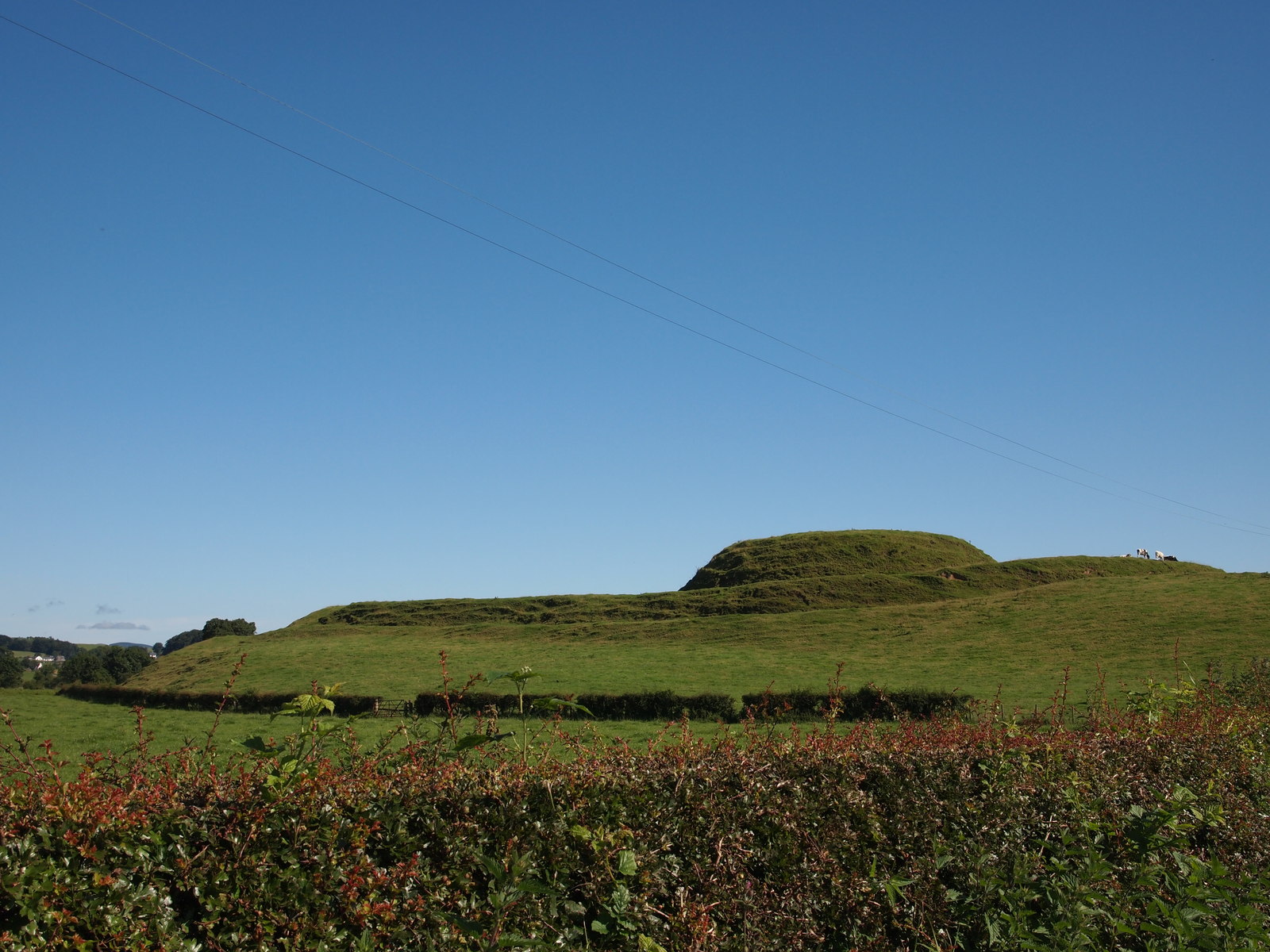
Birket's Hill is a prominent geographical feature located in the historical county of Kirkcudbrightshire, Scotland. Rising to an elevation of approximately 180 meters (590 feet), it is classified as a hill rather than a mountain. Situated near the town of Kirkcudbright, Birket's Hill offers stunning panoramic views of the surrounding countryside and the estuary of the River Dee.
The hill is characterized by its gently sloping grassy slopes, which are covered in heather and scattered with small trees. These vegetation types create a picturesque landscape, particularly during the summer months when the heather blooms, painting the hillside in vibrant purple hues. The grassy slopes also provide ideal grazing grounds for sheep, which can often be seen dotting the hillside.
Birket's Hill is a popular destination for outdoor enthusiasts and nature lovers, offering several walking trails and paths that lead to its summit. The ascent is relatively gentle, making it accessible to people of various fitness levels. From the top, visitors are rewarded with breathtaking views of the surrounding hills, farmland, and the nearby coast.
The hill's strategic location and commanding views have also made it historically significant. It is believed that Birket's Hill served as a vantage point and defensive position during conflicts in the past. Today, it stands as a testament to the natural beauty and rich history of Kirkcudbrightshire, attracting both locals and tourists alike.
If you have any feedback on the listing, please let us know in the comments section below.
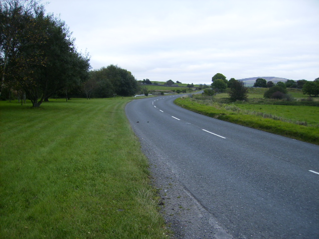
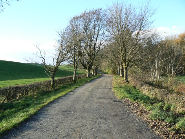
Birket's Hill Images
Images are sourced within 2km of 54.972773/-3.8124646 or Grid Reference NX8465. Thanks to Geograph Open Source API. All images are credited.


Birket's Hill is located at Grid Ref: NX8465 (Lat: 54.972773, Lng: -3.8124646)
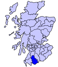
Unitary Authority: Dumfries and Galloway
Police Authority: Dumfries and Galloway
What 3 Words
///evaporate.trending.stage. Near Dalbeattie, Dumfries & Galloway
Nearby Locations
Related Wikis
Stewartry
The Stewartry was a local government district from 1975 until 1996 within the Dumfries and Galloway region in south-west Scotland. Under the name The Stewartry...

Southwick railway station (Scotland)
Southwick (Dumfries & Galloway) railway station served the civil parish of Colvend and Southwick, Dumfries and Galloway, Scotland from 1859 to 1965 on...
Motte of Urr
The Motte of Urr is the remains of a 12th-century motte-and-bailey castle located near the Haugh of Urr in Dumfries and Galloway, Scotland. == History... ==

Kirkgunzeon
Kirkgunȝeon (Scottish Gaelic: Cill Fhionnain) is a village and civil parish in Dumfries and Galloway, south west Scotland. The village is 10.4 miles (16...
Have you been to Birket's Hill?
Leave your review of Birket's Hill below (or comments, questions and feedback).