Black Hill

Hill, Mountain in Perthshire

Scotland

Black Hill

Bridge of Keir
Bridge of Keir Credit: Alan Reid

Black Hill is a prominent hill located in Perthshire, Scotland. Situated approximately 4 miles west of the town of Crieff, it stands at an elevation of 324 meters (1,063 feet). It is a popular destination for hikers and outdoor enthusiasts due to its accessible location and stunning views.

The hill is characterized by its distinctive shape, with a rounded summit and steep slopes covered in heather and grass. Its position offers panoramic views of the surrounding countryside, including the Strathearn Valley and the Highland mountains in the distance.

A network of well-marked trails allows visitors to explore the hill, with the most popular route starting from the nearby village of Monzie. The ascent is relatively gentle, making it suitable for people of all fitness levels. Along the way, hikers can enjoy the diverse flora and fauna that inhabit the area, including wildflowers, birds, and occasionally deer.

At the summit, a cairn marks the highest point and serves as a great spot to take in the breathtaking vistas. On clear days, it is possible to see as far as the Trossachs National Park and Ben Lawers, one of Scotland's highest mountains.

Black Hill offers a peaceful and tranquil escape from the nearby towns and cities, providing visitors with a chance to connect with nature and enjoy the beauty of the Scottish landscape.

If you have any feedback on the listing, please let us know in the comments section below.
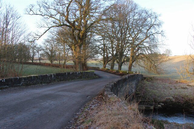
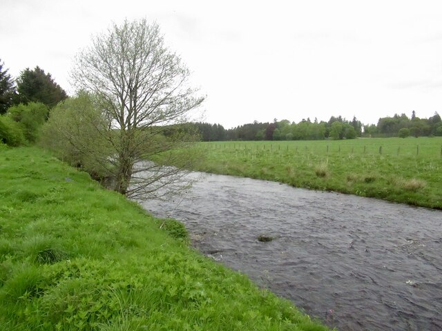
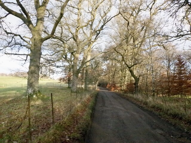
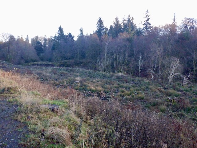
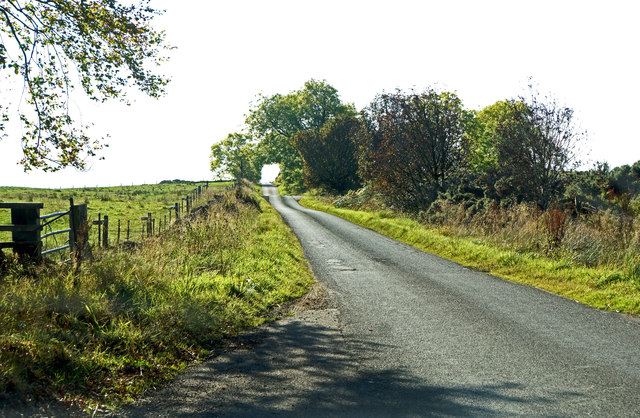
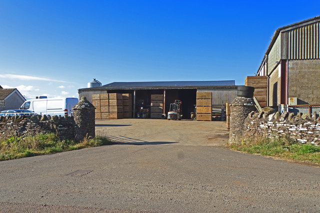
Black Hill Images

Images are sourced within 2km of 56.276248/-3.8756289 or Grid Reference NN8310. Thanks to Geograph Open Source API. All images are credited.

Bridge of Keir
Bridge of Keir
Roadworks on the B8033
Path by Braco New Cemetery Leads to a riverside path. Popular with dog walkers so watch your step.
Path by Braco New Cemetery
Leads to a riverside path. Popular with dog walkers so watch your step.
Rolled grass, Braco The site of a Roman road.
Rolled grass, Braco
The site of a Roman road.
River Knaik, Braco
River Knaik, Braco
The junction of the B827 and the A822 Just by the Black Hill Roman Camp.
The junction of the B827 and the A822
Just by the Black Hill Roman Camp.
The B827 at Black Hill Roman Camp
Road to Braco Castle
Playing field, Braco
Road to Braco Castle
Waterfalls, River Knaik Shelves of sandstone form a series of low falls at Devil's Pool
Waterfalls, River Knaik
Shelves of sandstone form a series of low falls at Devil's Pool
Devil's Pool Shelves of sandstone form a series of low falls at Devil's Pool
Devil's Pool
Shelves of sandstone form a series of low falls at Devil's Pool
Road and parkland, Braco Castle
Parkland and Braco Castle Farm
Road sign, Braco Castle Estate The road goes on to the moorland and some through routes.
Road sign, Braco Castle Estate
The road goes on to the moorland and some through routes.
Felled area by the Keir Burn
On the Old Military Road Towards Braco
On the Old Military Road
Towards Braco
Farm buildings at Springbank Near Braco
Farm buildings at Springbank
Near Braco
Show me another place!

Black Hill is located at Grid Ref: NN8310 (Lat: 56.276248, Lng: -3.8756289)

Unitary Authority: Perth and Kinross

Police Authority: Tayside

What 3 Words

///runways.emperor.imparting. Near Auchterarder, Perth & Kinross

Related Wikis

Black Hill Roman Camps

Black Hill Roman Camps are two Roman camps that are part of an extensive complex of Roman military sites centred around the fort at Ardoch, Perth and...

Ardoch, Perth and Kinross

Ardoch is a community in Perth and Kinross in Scotland, the largest population of which is in the village of Braco, west-southwest of Perth. == Geography... ==

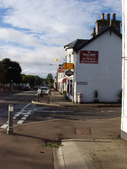
Braco, Perth and Kinross

Braco ( BRAY-koh) is a village in Perth and Kinross, Scotland, with a population of 515. It is located 5 miles (8 kilometres) north of Dunblane towards...

Greenloaning railway station

Greenloaning railway station served the village of Greenloaning, Perth and Kinross, Scotland from 1848 to 1956 on the Scottish Central Railway. == History... ==

Related Videos

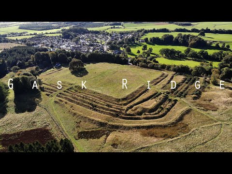
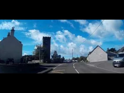
Visiting the Gask Ridge | Romans in Scotland | Ardoch Roman Fort + Roman Exhibition

A new exhibition about the Romans in Scotland opened up in Perth, where I live, and it inspired me to visit a few places along the ...

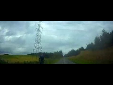
Dreich Autumn Road Trip Drive With Music On History Visit To Braco Perthshire Scotland

Tour Scotland 4K dreich, which is a Scots word for dull and cloudy weather, early Autumn travel video of part of a road trip drive, ...

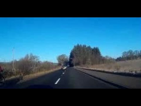
Sunny Winter Road Trip Drive With Music On History Visit To Braco Perthshire Scotland

Tour Scotland 4K sunny Winter weather travel video of part of a road trip drive, with Scottish bagpipes music, North on the A822 ...

Early Autumn Road Trip Drive To Visit Braco Perthshire Scotland

Tour Scotland early Autumn travel video of part of a road trip drive, with Scottish bagpipes and drums music, on ancestry, history ...

Nearby Amenities

Located within 500m of 56.276248,-3.8756289
Power: tower
Lat/Long: 56.2760707/-3.8780155
Power: pole
Lat/Long: 56.2778598/-3.8693547
Power: pole
Lat/Long: 56.277836/-3.8712403
Power: pole
Lat/Long: 56.2778375/-3.8724768
Power: pole
Lat/Long: 56.2778077/-3.874054
Power: pole
Lat/Long: 56.2777854/-3.8756767
Power: pole
Lat/Long: 56.2771078/-3.8765538
Power: pole
Lat/Long: 56.2765807/-3.8772431
Power: pole
Lat/Long: 56.2805594/-3.8746226
Power: pole
Lat/Long: 56.2797822/-3.8752529
Power: pole
Lat/Long: 56.2789438/-3.8759986
Power: pole
Lat/Long: 56.2780474/-3.8766798
Power: pole
Lat/Long: 56.2773818/-3.877176
Power: pole
Lat/Long: 56.2767728/-3.8776267
Power: pole
Lat/Long: 56.273434/-3.8811886
Power: pole
Lat/Long: 56.2744452/-3.8804618
Power: pole
Lat/Long: 56.275367/-3.8798368
Power: pole
Lat/Long: 56.2762799/-3.8791931
Power: pole
Lat/Long: 56.2734396/-3.8694702
Power: pole
Lat/Long: 56.2732339/-3.8707273
Power: pole
Lat/Long: 56.2730496/-3.8720016
Power: pole
Lat/Long: 56.272845/-3.8732972
Power: pole
Lat/Long: 56.27265/-3.8745843
Power: pole
Lat/Long: 56.2724538/-3.8758928
Power: pole
Lat/Long: 56.2722291/-3.8773556
Power: pole
Lat/Long: 56.2723563/-3.8783535
Power: pole
Lat/Long: 56.2724966/-3.8794093
Power: pole
Lat/Long: 56.2734443/-3.8694617
Power: pole
Lat/Long: 56.273826/-3.8699842
Power: pole
Lat/Long: 56.2742802/-3.8706095
Power: pole
Lat/Long: 56.2748688/-3.8714084
Power: pole
Lat/Long: 56.2755216/-3.8715883
Power: pole
Lat/Long: 56.2762909/-3.8717917
Power: pole
Lat/Long: 56.2768544/-3.8719502
Power: pole
Lat/Long: 56.2745846/-3.8723335
Power: pole
Lat/Long: 56.274203/-3.8735864
Power: pole
Lat/Long: 56.2739235/-3.8745329
Power: pole
Lat/Long: 56.2744836/-3.8754088
Power: pole
Lat/Long: 56.2749092/-3.876062
Power: pole
Lat/Long: 56.2770209/-3.8710379
Power: pole
Lat/Long: 56.2773269/-3.8832669
Power: pole
Lat/Long: 56.2778706/-3.882693
Power: pole
Lat/Long: 56.278465/-3.882061
Power: pole
Lat/Long: 56.2790364/-3.8814477
Power: pole
Lat/Long: 56.2794403/-3.8810298
The data included in this document is from www.openstreetmap.org. The data is made available under ODbL.

Have you been to Black Hill?

Leave your review of Black Hill below (or comments, questions and feedback).