Y Gadfa
Hill, Mountain in Merionethshire
Wales
Y Gadfa
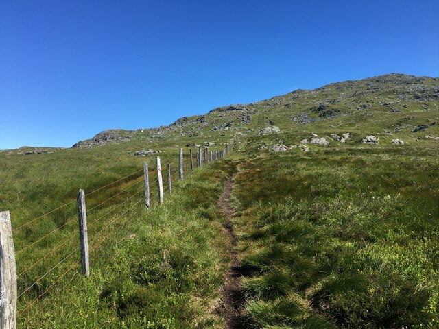
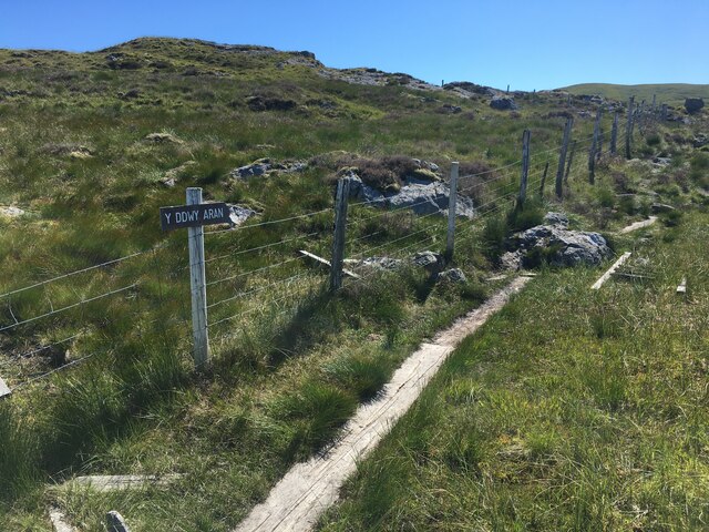
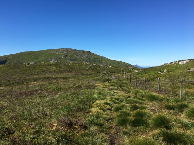
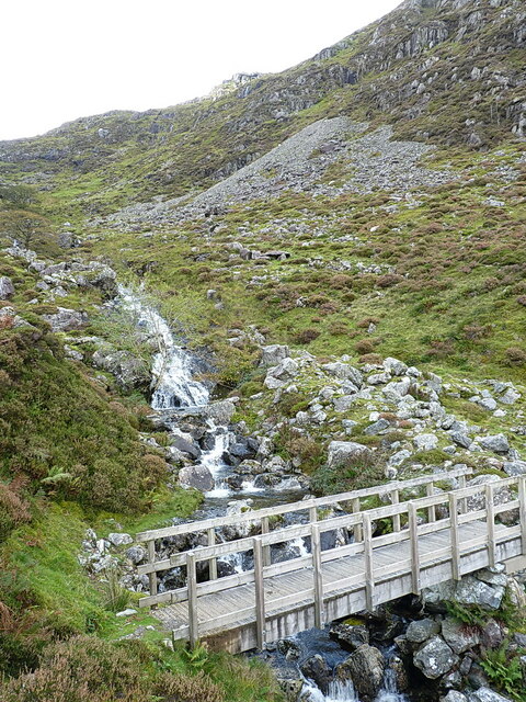
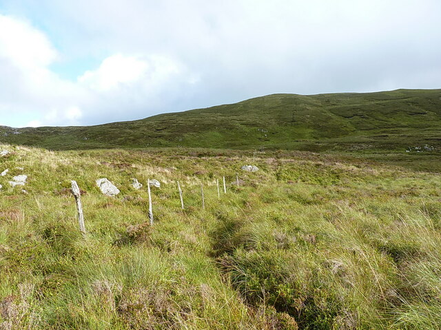
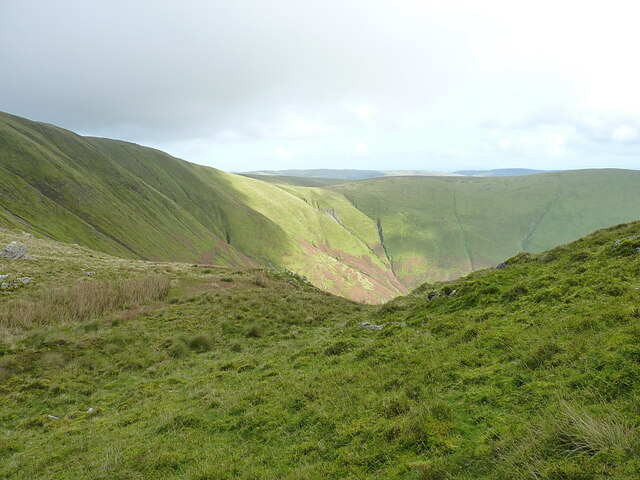
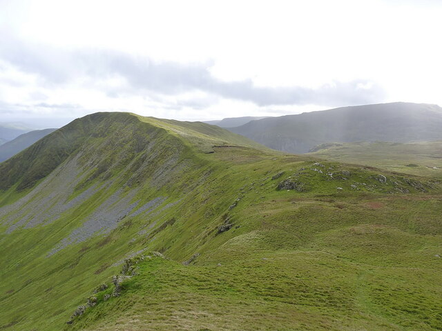
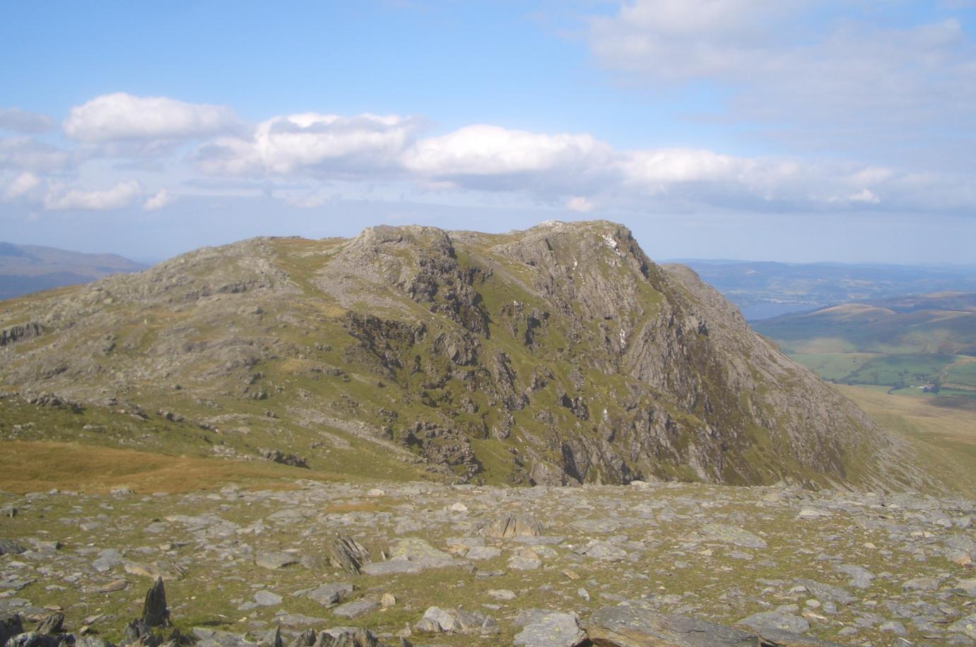
Y Gadfa is a prominent hill located in the county of Merionethshire, Wales. It stands at an elevation of 2,044 feet (623 meters) above sea level and is situated within the Snowdonia National Park. The hill is part of the Rhinogydd range, which is known for its rugged landscape and breathtaking vistas.
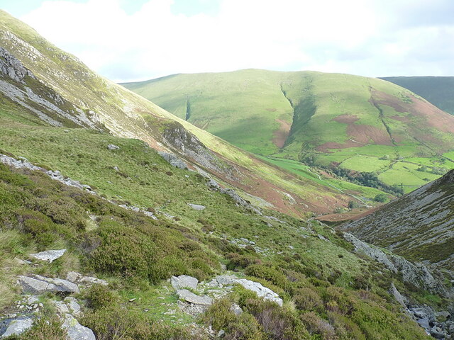
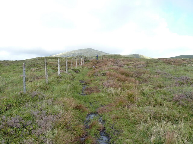
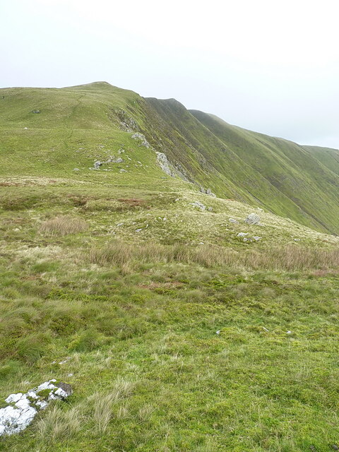
Y Gadfa is a popular destination for hikers and outdoor enthusiasts due to its challenging terrain and stunning views. The ascent to the summit can be demanding as it involves steep slopes and rocky paths, but the effort is rewarded with panoramic vistas of the surrounding countryside, including nearby mountains such as Cadair Idris and the Mawddach Estuary.
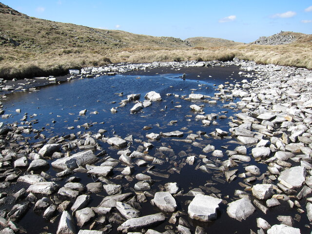
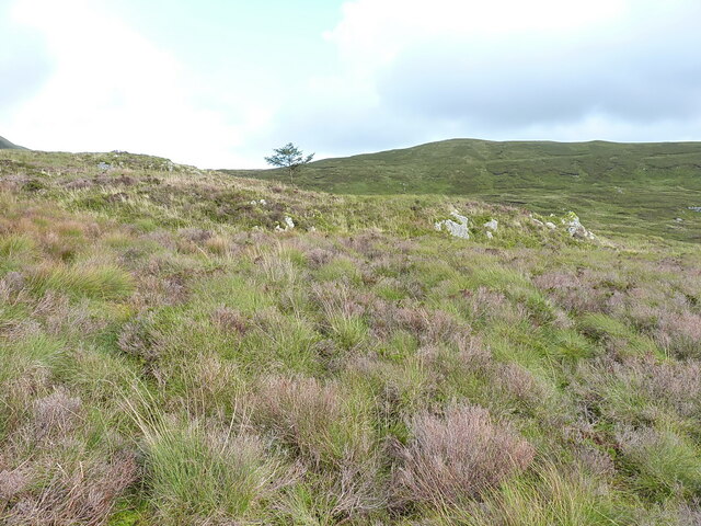
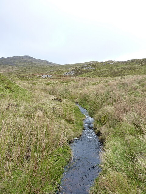
The hill is characterized by its rocky outcrops, heather-covered slopes, and deep valleys, which add to its natural beauty. The area is also rich in wildlife, with a variety of bird species, including raptors like buzzards and peregrine falcons, often spotted soaring above.
Y Gadfa offers a range of hiking routes, catering to both experienced walkers and those seeking a more leisurely stroll. It is advisable to come prepared with appropriate footwear and clothing, as the weather conditions can change rapidly at higher altitudes.
Overall, Y Gadfa in Merionethshire is a captivating hill that offers both a physical challenge and a chance to immerse oneself in the stunning scenery of Snowdonia National Park.
If you have any feedback on the listing, please let us know in the comments section below.
Y Gadfa Images
Images are sourced within 2km of 52.777457/-3.7230676 or Grid Reference SH8321. Thanks to Geograph Open Source API. All images are credited.


Y Gadfa is located at Grid Ref: SH8321 (Lat: 52.777457, Lng: -3.7230676)
Unitary Authority: Gwynedd
Police Authority: North Wales
What 3 Words
///direct.upwardly.conned. Near Llanuwchllyn, Gwynedd
Nearby Locations
Related Wikis
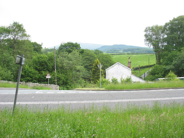
Drws-y-Nant
Drws-y-Nant is a village in Gwynedd, Wales. It was formerly served by the Drws-y-Nant railway station but this closed in 1965.
Aran Benllyn
Aran Benllyn is a subsidiary summit of Aran Fawddwy in southern Snowdonia, North Wales, Wales, United Kingdom. It is the second highest peak in the Aran...

Gwaun y Llwyni
Gwaun y Llwyni is a subsidiary summit of Aran Fawddwy in southern Snowdonia, Wales. It forms a part of the Aran mountain range. The peak's southern face...

Foel Hafod-fynydd
Foel Hafod-fynydd is a subsidiary summit of Aran Fawddwy in southern Snowdonia, North Wales, Wales, United Kingdom. It tops the east ridge of Erw y Ddafad...
Nearby Amenities
Located within 500m of 52.777457,-3.7230676Have you been to Y Gadfa?
Leave your review of Y Gadfa below (or comments, questions and feedback).