Lagganpark Hill

Hill, Mountain in Dumfriesshire

Scotland

Lagganpark Hill

View from Auchengibbert Hill A view to a distant Criffel  with brief sunlight at Low Lann.
View from Auchengibbert Hill Credit: Richard Webb

Lagganpark Hill, located in Dumfriesshire, Scotland, is a prominent hill that offers stunning views of the surrounding countryside. With an elevation of approximately 365 meters (1,200 feet), it is not considered a mountain but is still a notable landmark in the area.

Lagganpark Hill is known for its lush green slopes and is covered in heather and grasses, creating a picturesque landscape. The hill is easily accessible and is a popular destination for outdoor enthusiasts and nature lovers. There are several trails that lead to the summit, providing visitors with an opportunity to explore the diverse flora and fauna that thrive in the area.

From the top of Lagganpark Hill, one can enjoy panoramic views of Dumfriesshire, with its rolling hills, farmland, and scattered villages. On clear days, it is even possible to catch a glimpse of the distant hills of the Lake District in England.

The hill is also of historical significance, as it is believed to have been the site of an ancient fortification or settlement. Archaeological evidence suggests that Lagganpark Hill may have been occupied during the Iron Age, adding to its allure for history enthusiasts.

Lagganpark Hill is part of a larger network of hills and mountains in Dumfriesshire, making it a fantastic base for exploring the area. Whether it is a leisurely hike or a more challenging climb, this hill offers a rewarding experience for visitors seeking natural beauty and a sense of history.

If you have any feedback on the listing, please let us know in the comments section below.

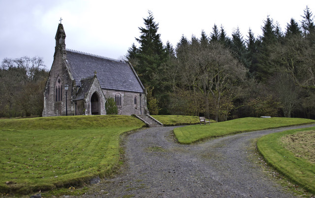
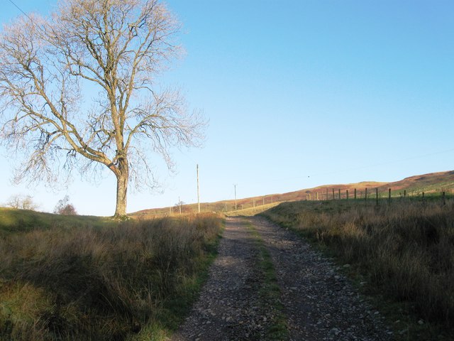
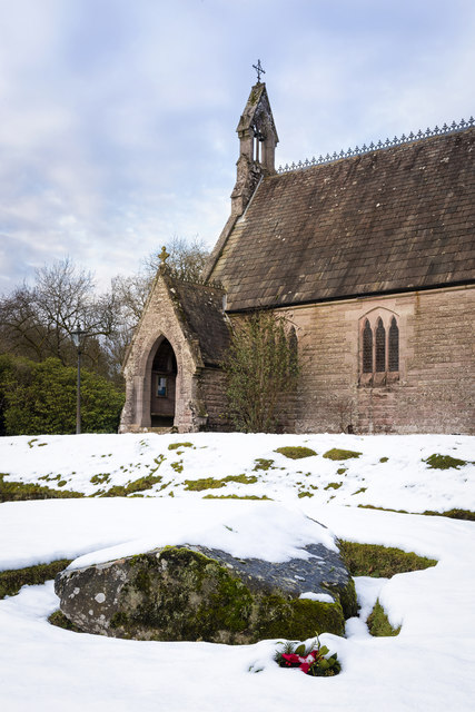
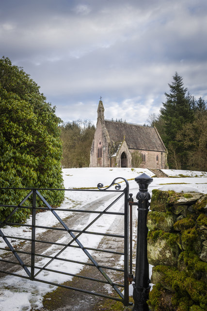
Lagganpark Hill Images

Images are sourced within 2km of 55.199191/-3.8285671 or Grid Reference NX8390. Thanks to Geograph Open Source API. All images are credited.

View from Auchengibbert Hill A view to a distant Criffel  with brief sunlight at Low Lann.
View from Auchengibbert Hill
A view to a distant Criffel with brief sunlight at Low Lann.
Farm track to Laggan Park The track runs along the western slopes of Breconside Hill northward towards Laggan Park, a remote location nestled under Crossford, Lagganpark and Wauk Hills.
Farm track to Laggan Park
The track runs along the western slopes of Breconside Hill northward towards Laggan Park, a remote location nestled under Crossford, Lagganpark and Wauk Hills.
Track to Laggan Park, near Breconside The track to Laggan Park runs from the minor road junction situated between Straith (Cairn Valley) and Breconside hamlet.  View northward over the Laggan Burn towards Wauk Hill and the Keir Hills.
Track to Laggan Park, near Breconside
The track to Laggan Park runs from the minor road junction situated between Straith (Cairn Valley) and Breconside hamlet. View northward over the Laggan Burn towards Wauk Hill and the Keir Hills.
Maxwelton Chapel
Maxwelton Chapel
On Crossford Hill
On Crossford Hill
Climbing Crossford Hill
The Cairn Valley Looking down Crossford Hill towards the Cairn Valley
The Cairn Valley
Looking down Crossford Hill towards the Cairn Valley
Maxwelton House A largely 17th century house,it was B listed in 1971.
Maxwelton House
A largely 17th century house,it was B listed in 1971.
Track to Laggan Park
Moorland
Moorland
Track from Laggan Park
Farm track and gate on Maxwelton Hill Providing access through a wooded area
Farm track and gate on Maxwelton Hill
Providing access through a wooded area
Forest and boggy ground on Crossford Hill
Maxwelton Chapel Maxwelton Chapel.

Check it out on my Flickr Page.

<span class="nowrap"><a title="https://www.flickr.com/photos/jetjohn/31480915104/in/dateposted-public/" rel="nofollow ugc noopener" href="https://www.flickr.com/photos/jetjohn/31480915104/in/dateposted-public/">Link</a><img style="margin-left:2px;" alt="External link" title="External link - shift click to open in new window" src="https://s1.geograph.org.uk/img/external.png" width="10" height="10"/></span>

Maxwelton House and its associated Mains and Chapel lie to the east of the Cairn Water, 3 miles (5 km) east of Moniaive. Originally named Glencairn Castle, Maxwelton was bought by Stephen Laurie who changed the name of the property. It dates from the 17th Century and includes the bedroom of Annie Laurie, made famous in a song by Robert Burns. The Gothic-style Maxwelton Episcopal Chapel was built in 1868 as a memorial to John Minet Laurie.
Maxwelton Chapel
Maxwelton Chapel. Check it out on my Flickr Page. LinkExternal link Maxwelton House and its associated Mains and Chapel lie to the east of the Cairn Water, 3 miles (5 km) east of Moniaive. Originally named Glencairn Castle, Maxwelton was bought by Stephen Laurie who changed the name of the property. It dates from the 17th Century and includes the bedroom of Annie Laurie, made famous in a song by Robert Burns. The Gothic-style Maxwelton Episcopal Chapel was built in 1868 as a memorial to John Minet Laurie.
Maxwelton Chapel Maxwelton Chapel.

Check it out on my Flickr page
<span class="nowrap"><a title="https://www.flickr.com/photos/jetjohn/32433865732/" rel="nofollow ugc noopener" href="https://www.flickr.com/photos/jetjohn/32433865732/">Link</a><img style="margin-left:2px;" alt="External link" title="External link - shift click to open in new window" src="https://s1.geograph.org.uk/img/external.png" width="10" height="10"/></span>
Maxwelton Chapel
Maxwelton Chapel. Check it out on my Flickr page LinkExternal link
Maxwelton chapel
Maxwelton chapel
Maxwelton Chapel <span class="nowrap"><a title="https://flic.kr/p/XhL8zs" rel="nofollow ugc noopener" href="https://flic.kr/p/XhL8zs">Link</a><img style="margin-left:2px;" alt="External link" title="External link - shift click to open in new window" src="https://s1.geograph.org.uk/img/external.png" width="10" height="10"/></span>
Maxwelton Chapel
Show me another place!

Lagganpark Hill is located at Grid Ref: NX8390 (Lat: 55.199191, Lng: -3.8285671)

Unitary Authority: Dumfries and Galloway

Police Authority: Dumfries and Galloway

What 3 Words

///totals.cherubs.vows. Near Thornhill, Dumfries & Galloway

Related Wikis

Shinnel Water

Shinnel Water, also spelt Shinnell, is a river in the region of Dumfries and Galloway, Scotland. It rises in the Scaur hills of Tynron Parish in the Southern...

Crossford railway station

Crossford is a closed station of the Cairn Valley Light Railway branch, from Dumfries. It served the rural area of Crossford in Dumfries and Galloway...

Glencairn, Dumfries and Galloway

Glencairn is an ecclesiastical and civil parish in Dumfries and Galloway, Scotland. == Location == According to John Bartholomew's 1887 Gazetteer of the...

Kirkland railway station

Kirkland railway station (NX810897) was one of the minor stations on the Cairn Valley Light Railway branch, from Dumfries. It served the rural area around...

Keir, Dumfries and Galloway

Keir is a civil parish, containing the small village of Keir Mill, in Dumfries and Galloway, Scotland, one mile south of Penpont. It was founded in the...

Tynron Doon

Tynron Doon is a multivallate Iron Age hill fort outside the village of Tynron in Dumfries and Galloway, Scotland. It was occupied on and off from the...

Tynron

Tynron is a village and civil parish in Dumfries and Galloway, south-west Scotland, lying in a hollow of the Shinnel Water, 2 miles (3.2 km) from Moniaive...

Penpont

Penpont is a village about 2 miles (3 km) west of Thornhill in Dumfriesshire, in the Dumfries and Galloway region of Scotland. It is near the confluence...

Nearby Amenities

Located within 500m of 55.199191,-3.8285671
Wauk Hill
Corbett: no
Ele: 357
Graham: no
Munro: no
Natural: peak
Lat/Long: 55.1990983/-3.8220067
Lagganpark Hill
Natural: peak
Lat/Long: 55.1991662/-3.8284366
The data included in this document is from www.openstreetmap.org. The data is made available under ODbL.

Have you been to Lagganpark Hill?

Leave your review of Lagganpark Hill below (or comments, questions and feedback).