Bryn Diliw
Hill, Mountain in Cardiganshire
Wales
Bryn Diliw

Bryn Diliw is a prominent hill located in the county of Cardiganshire, Wales. Standing at an elevation of approximately 1,009 feet (308 meters), it is considered one of the notable peaks in the region. The hill is situated in the southern part of the county, near the village of Pontrhydfendigaid.
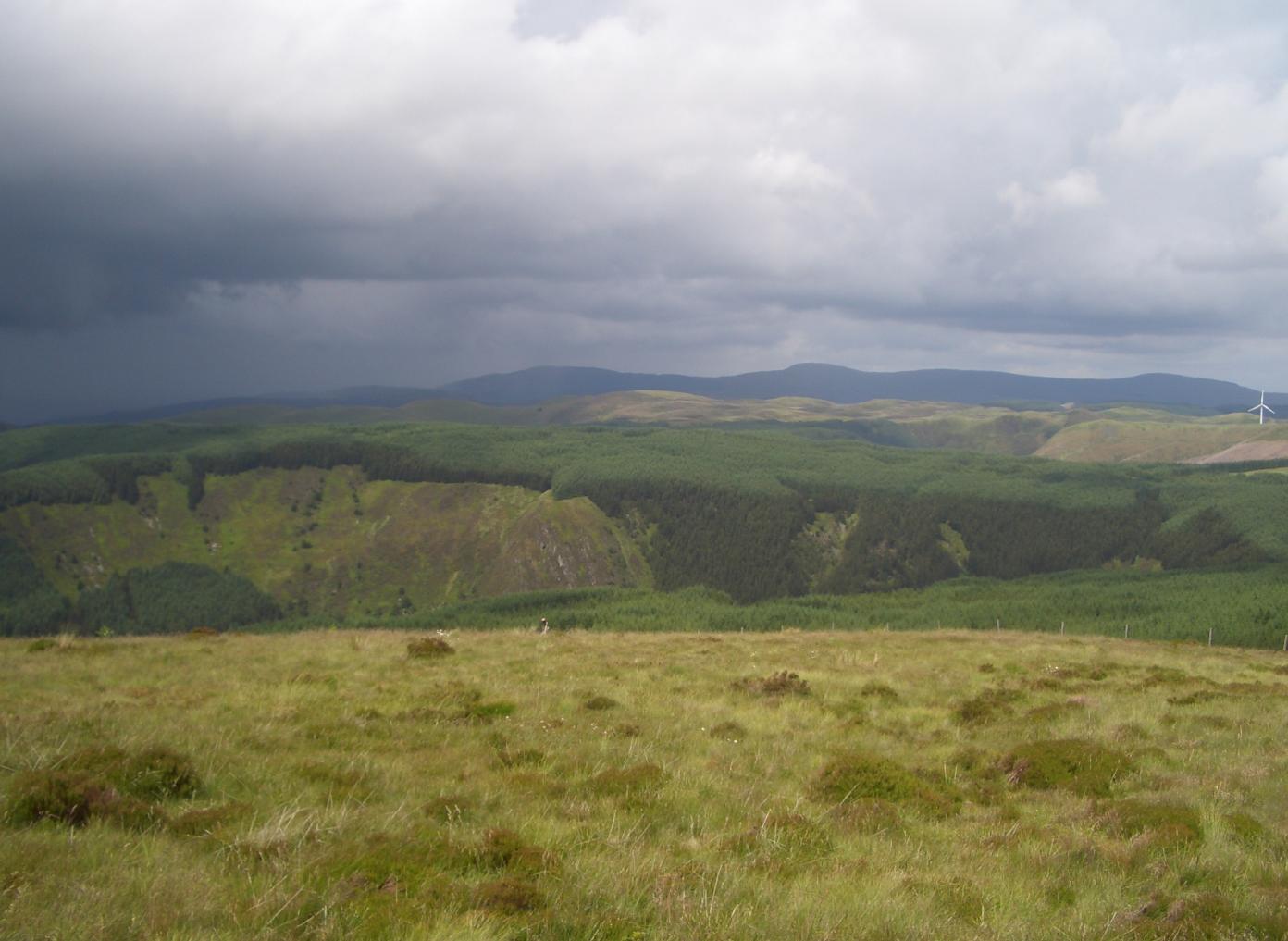
Bryn Diliw offers breathtaking panoramic views of the surrounding countryside, including the rolling hills and lush valleys that characterize the Welsh landscape. The hill is covered with green vegetation, predominantly grass and heather, giving it a picturesque appearance throughout the year. It is also home to a variety of wildlife, including birds, rabbits, and occasionally, sheep.
The hill is a popular destination for outdoor enthusiasts, hikers, and nature lovers. There are several walking trails that lead to the summit, providing visitors with an opportunity to explore the area's natural beauty. The paths are well-maintained, making it relatively easy to navigate the hill.
On the summit of Bryn Diliw, there is a trig point, which serves as a marker for surveying purposes. It also acts as a point of interest for visitors, allowing them to pinpoint their location accurately.
Bryn Diliw is not only a natural landmark but also holds historical significance. There are remnants of ancient settlements and burial mounds in the vicinity, dating back to prehistoric times. These archaeological sites add an extra layer of fascination to the hill, attracting history enthusiasts and archaeologists alike.
Overall, Bryn Diliw is a captivating hill in Cardiganshire, offering stunning views, diverse wildlife, and a touch of history.
If you have any feedback on the listing, please let us know in the comments section below.
Bryn Diliw Images
Images are sourced within 2km of 52.387336/-3.71246 or Grid Reference SN8377. Thanks to Geograph Open Source API. All images are credited.


Bryn Diliw is located at Grid Ref: SN8377 (Lat: 52.387336, Lng: -3.71246)
Unitary Authority: Ceredigion
Police Authority: Dyfed Powys
What 3 Words
///award.bluffing.guitars. Near Cwmystwyth, Ceredigion
Nearby Locations
Related Wikis
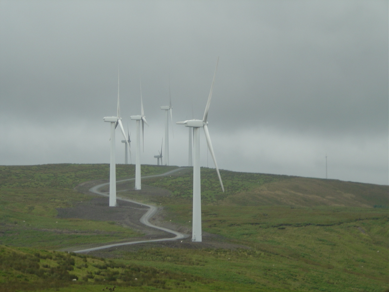
Cefn Croes Wind Farm
Cefn Croes is a wind farm in Ceredigion, Wales. It is located in the Cambrian Mountains on Cefn Croes mountain, 573m (1,880 ft) south of the A44 road between...
Pen y Garn
Pen y Garn is a mountain in the Cambrian Mountains, Mid Wales standing at 611 metres above sea level. Pen y Garn tops a 500–600 m high plateau, which includes...

Elenydd
Elenydd (Welsh: [ɛˈlɛnɨð]) is an upland area of Mid Wales, extending across parts of northern and eastern Ceredigion and Powys between Aberystwyth and...

Mwyngloddfa Cwmystwyth
Mwyngloddfa Cwmystwyth is a Site of Special Scientific Interest in Ceredigion, west Wales. It comprises old mine workings located in the upper Ystwyth...
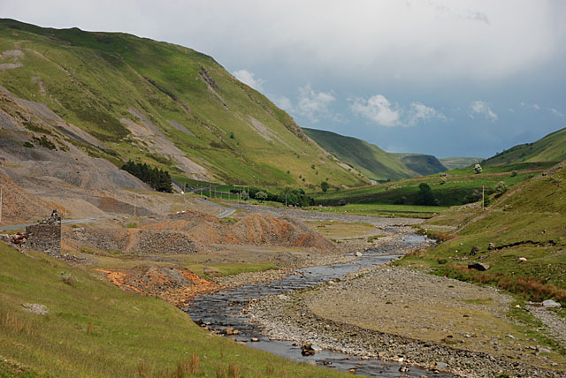
Cwmystwyth Mines
Cwmystwyth mines are located in Cwmystwyth, Ceredigion, Wales and exploited a part of the Central Wales Orefield. Cwm Ystwyth is a scheduled monument,...
Y Glog (Draws Drum)
Y Glog or Draws Drum is a mountain situated in Ceredigion, Wales. It stands at an elevation of 574 metres (1883 feet) above sea level and is located a...

Banc Tynddol sun-disc
The Banc Tynddol sun-disc (Welsh: Disc Haul Banc Tynddol) is a small, decorated, gold ornament discovered at Cwmystwyth, Ceredigion, Wales. It most likely...
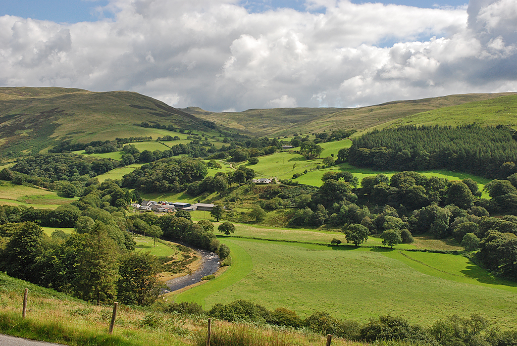
Cwmystwyth
Cwmystwyth (also Cwm Ystwyth, Welsh pronunciation: [kʊmˈəstʊɨθ]; English: "valley of the River Ystwyth") is a village in Ceredigion, Wales near Devil's...
Nearby Amenities
Located within 500m of 52.387336,-3.71246Have you been to Bryn Diliw?
Leave your review of Bryn Diliw below (or comments, questions and feedback).