Banc y Merddwr
Hill, Mountain in Merionethshire
Wales
Banc y Merddwr
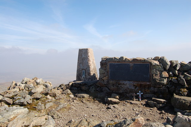
Banc y Merddwr is a prominent hill/mountain located in the county of Merionethshire, Wales. It is situated within the Snowdonia National Park, offering breathtaking views and a diverse range of natural features. The mountain stands at an elevation of approximately 541 meters (1,775 feet), making it a popular destination for hikers and outdoor enthusiasts.
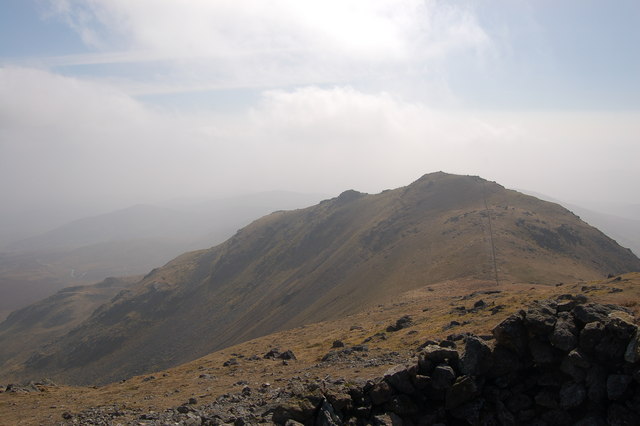
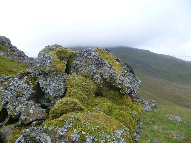
One of the notable characteristics of Banc y Merddwr is its distinctive shape, resembling a whale's back. This unique formation adds to the allure of the mountain and makes it easily recognizable from afar. The hill/mountain is predominantly composed of slate and granite, lending to its rugged and picturesque appearance.
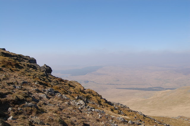
The summit of Banc y Merddwr presents panoramic vistas of the surrounding landscape, including the nearby Rhinog mountain range and the Mawddach Estuary. On clear days, it is possible to spot the peaks of several other notable mountains, such as Cader Idris and Snowdon.
The area surrounding Banc y Merddwr is rich in biodiversity, with a variety of flora and fauna thriving in its diverse habitats. The hill/mountain is home to a range of bird species, including red kites, buzzards, and peregrine falcons, making it an excellent spot for birdwatching.
Access to Banc y Merddwr is relatively straightforward, with various footpaths and trails leading to the summit. These routes cater to different skill levels, ensuring that both experienced hikers and beginners can enjoy the mountain's beauty.
Overall, Banc y Merddwr offers a captivating experience for nature lovers, providing stunning views, interesting geological formations, and abundant wildlife.
If you have any feedback on the listing, please let us know in the comments section below.
Banc y Merddwr Images
Images are sourced within 2km of 52.904573/-3.7336252 or Grid Reference SH8335. Thanks to Geograph Open Source API. All images are credited.


Banc y Merddwr is located at Grid Ref: SH8335 (Lat: 52.904573, Lng: -3.7336252)
Unitary Authority: Gwynedd
Police Authority: North Wales
What 3 Words
///guarding.gravitate.bonkers. Near Llanuwchllyn, Gwynedd
Nearby Locations
Related Wikis
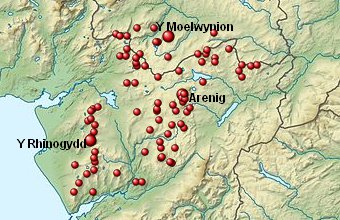
Arenigs
Arenigs is an informal term for a group of mountains in central Snowdonia, in north Wales. They are not strictly defined, but normally include at least...

Foel Boeth
Foel Boeth is the twin top of Gallt y Daren in the southern half of the Snowdonia National Park in Gwynedd, North Wales, and forms part of the Arenig mountain...

Gallt y Daren
Gallt y Daren is a peak in the southern half of the Snowdonia National Park in Gwynedd, North Wales, and forms part of the Arenig mountain range. It is...

Arenig Fawr South Top
Arenig Fawr South Top is the twin top of Arenig Fawr in southern Snowdonia, North Wales. It is the second highest member of the Arenig range, being 18...
Nearby Amenities
Located within 500m of 52.904573,-3.7336252Have you been to Banc y Merddwr?
Leave your review of Banc y Merddwr below (or comments, questions and feedback).