Carreg yr Aderyn
Hill, Mountain in Merionethshire
Wales
Carreg yr Aderyn

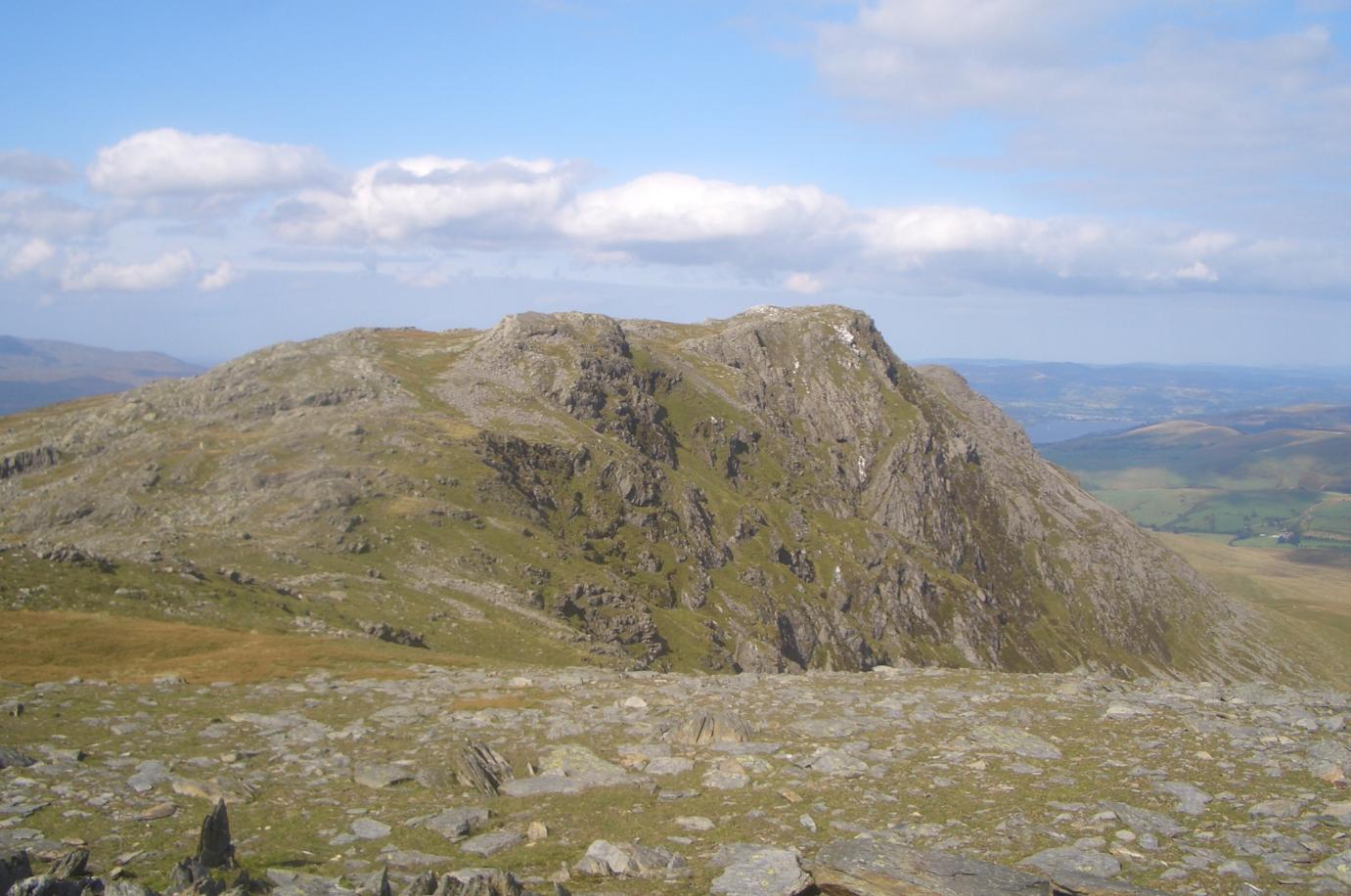
Carreg yr Aderyn, also known as Bird Rock, is a prominent hill located in Merionethshire, Wales. It is situated within the Snowdonia National Park, near the village of Llanbedr. Standing at a height of 1,420 feet (433 meters), Carreg yr Aderyn offers breathtaking panoramic views of the surrounding landscape.
The hill is characterized by its distinctive rock formation, which resembles a large bird in flight, hence the name Bird Rock. This natural feature has made Carreg yr Aderyn a popular attraction for nature enthusiasts, hikers, and photographers.
The summit of Carreg yr Aderyn is accessible via a well-marked footpath that starts from a nearby parking area. The hike is relatively moderate, offering a rewarding experience for both experienced and novice hikers. Along the way, visitors can enjoy the diverse flora and fauna of the area, including heather, bilberries, and various bird species.
Once at the top, visitors are rewarded with awe-inspiring views of the Mawddach Estuary, Rhinogydd mountain range, and the Irish Sea. On clear days, it is even possible to see as far as the Llŷn Peninsula and Snowdon, the highest peak in Wales.
Carreg yr Aderyn is not only a natural landmark but also holds cultural significance. Legend has it that the rock was once the petrified remains of a giant bird that had been turned into stone as punishment for stealing sheep. This folklore adds an extra layer of intrigue to the already captivating hill.
Overall, Carreg yr Aderyn is a must-visit destination for those seeking stunning views, a tranquil hike, and a touch of Welsh mythology.
If you have any feedback on the listing, please let us know in the comments section below.
Carreg yr Aderyn Images
Images are sourced within 2km of 52.810047/-3.7342231 or Grid Reference SH8325. Thanks to Geograph Open Source API. All images are credited.


Carreg yr Aderyn is located at Grid Ref: SH8325 (Lat: 52.810047, Lng: -3.7342231)
Unitary Authority: Gwynedd
Police Authority: North Wales
What 3 Words
///breathy.grafted.blanks. Near Llanuwchllyn, Gwynedd
Nearby Locations
Related Wikis

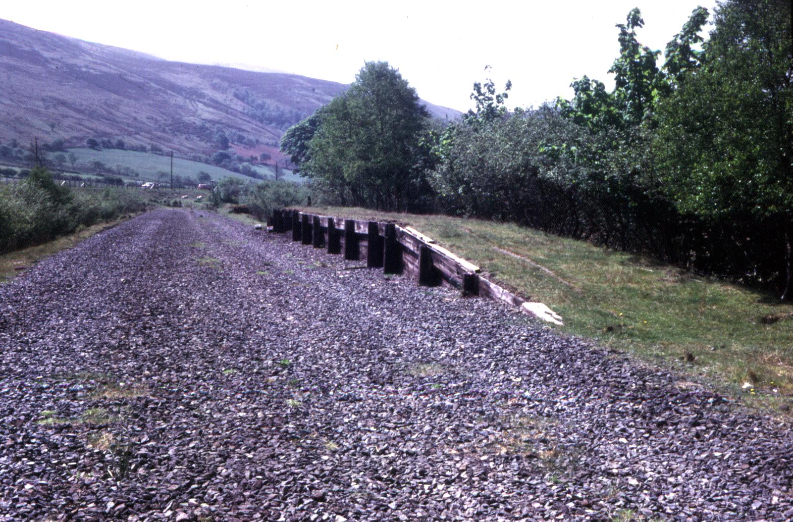
Drws-y-Nant railway station
Drws-y-Nant railway station (Pron: Droos-a-Nant) in Gwynedd, Wales, was formerly a station on the Ruabon to Barmouth line. The station had two platforms...
Garneddwen Halt railway station
Garneddwen Halt in Merioneth (now Gwynedd), Wales, was formerly a station at the summit of the Great Western Railway Ruabon to Barmouth line. It closed...
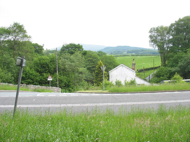
Drws-y-Nant
Drws-y-Nant is a village in Gwynedd, Wales. It was formerly served by the Drws-y-Nant railway station but this closed in 1965.

Allt y Benglog National Nature Reserve
Allt y Benglog is a small national nature reserve near Dolgellau in Wales.Its position on the lower slopes of Rhobell Fawr, one of north Wales’ extinct...

Dduallt
Dduallt (English: Black hill) (pronounced [ðɨ.æɬt]) is a mountain in central Snowdonia, north Wales. It is the sister peak of Rhobell Fawr. It lies north...

Gwaun y Llwyni
Gwaun y Llwyni is a subsidiary summit of Aran Fawddwy in southern Snowdonia, Wales. It forms a part of the Aran mountain range. The peak's southern face...
Aran Benllyn
Aran Benllyn is a subsidiary summit of Aran Fawddwy in southern Snowdonia, North Wales, Wales, United Kingdom. It is the second highest peak in the Aran...

Foel Hafod-fynydd
Foel Hafod-fynydd is a subsidiary summit of Aran Fawddwy in southern Snowdonia, North Wales, Wales, United Kingdom. It tops the east ridge of Erw y Ddafad...
Nearby Amenities
Located within 500m of 52.810047,-3.7342231Have you been to Carreg yr Aderyn?
Leave your review of Carreg yr Aderyn below (or comments, questions and feedback).