Carreg y Diocyn
Hill, Mountain in Merionethshire
Wales
Carreg y Diocyn
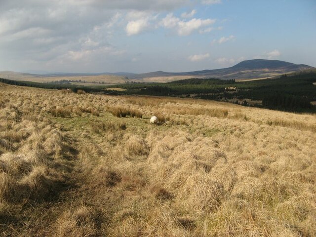
Carreg y Diocyn is a prominent hill located in the historical county of Merionethshire, Wales. Standing at an elevation of approximately 1,000 feet (305 meters), it is considered a notable landmark in the region. The hill is situated within the Snowdonia National Park, known for its stunning natural beauty and diverse landscape.
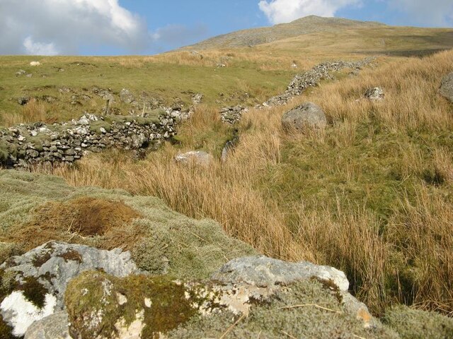
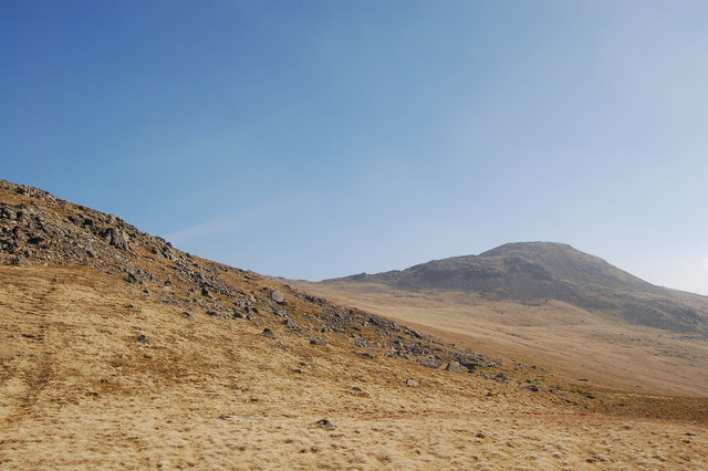
Carreg y Diocyn is characterized by its distinctive shape and rugged terrain. It features a steep, rocky face on its eastern side, which provides a challenging climb for hikers and mountaineers. The hill is predominantly composed of volcanic rocks, including rhyolite and dacite, which give it a unique appearance.
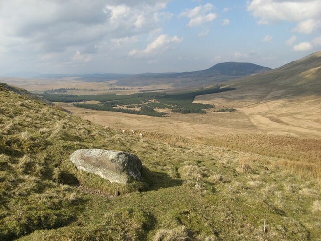
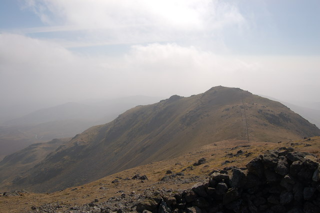
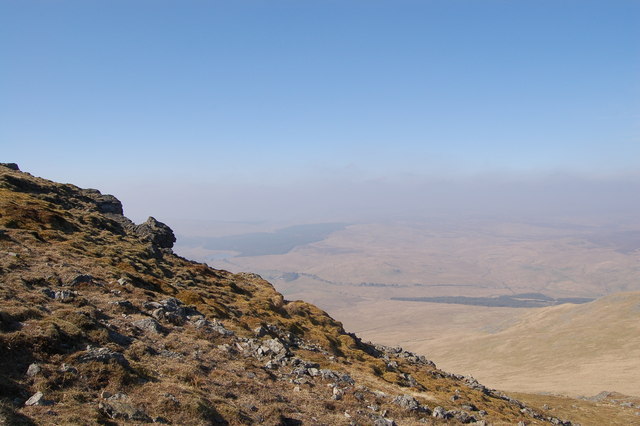
From the summit of Carreg y Diocyn, visitors can enjoy breathtaking panoramic views of the surrounding countryside. On a clear day, one can see the peaks of nearby mountains such as Cadair Idris and the Rhinogydd range. The hill is also known for its rich biodiversity, hosting a variety of plant and animal species, including heather, bilberry, and red grouse.
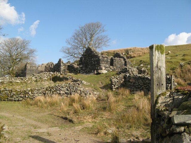
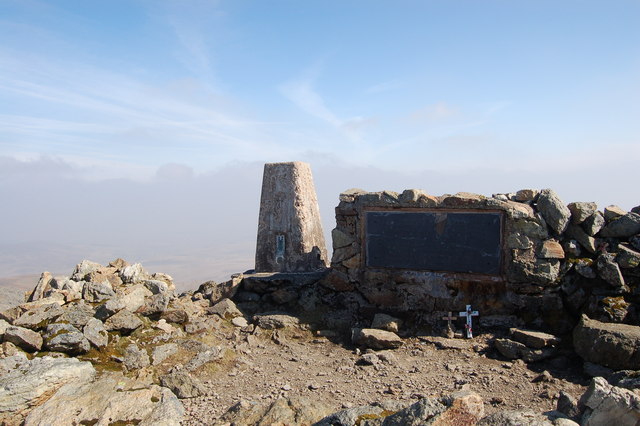
Carreg y Diocyn holds historical and cultural significance as well. It is believed to have been used as a hill fort during the Iron Age, serving as a defensive structure for the local community. Today, the hill attracts outdoor enthusiasts seeking a challenging hike or an opportunity to immerse themselves in the natural beauty of the Welsh countryside.
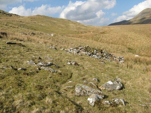
Overall, Carreg y Diocyn is a striking hill in Merionethshire with its rugged slopes, volcanic rock formations, and stunning views, making it a popular destination for nature lovers and those seeking an adventurous experience in the heart of Snowdonia National Park.
If you have any feedback on the listing, please let us know in the comments section below.
Carreg y Diocyn Images
Images are sourced within 2km of 52.911494/-3.7398802 or Grid Reference SH8336. Thanks to Geograph Open Source API. All images are credited.


Carreg y Diocyn is located at Grid Ref: SH8336 (Lat: 52.911494, Lng: -3.7398802)
Unitary Authority: Gwynedd
Police Authority: North Wales
What 3 Words
///coil.robes.scam. Near Llanuwchllyn, Gwynedd
Nearby Locations
Related Wikis
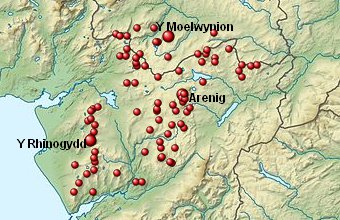
Arenigs
Arenigs is an informal term for a group of mountains in central Snowdonia, in north Wales. They are not strictly defined, but normally include at least...

Foel Boeth
Foel Boeth is the twin top of Gallt y Daren in the southern half of the Snowdonia National Park in Gwynedd, North Wales, and forms part of the Arenig mountain...

Gallt y Daren
Gallt y Daren is a peak in the southern half of the Snowdonia National Park in Gwynedd, North Wales, and forms part of the Arenig mountain range. It is...

Arenig Fawr South Top
Arenig Fawr South Top is the twin top of Arenig Fawr in southern Snowdonia, North Wales. It is the second highest member of the Arenig range, being 18...
Nearby Amenities
Located within 500m of 52.911494,-3.7398802Have you been to Carreg y Diocyn?
Leave your review of Carreg y Diocyn below (or comments, questions and feedback).