Bryn Du

Hill, Mountain in Merionethshire

Wales

Bryn Du

Bythynod haearn rhychiog / Corrugated iron cottages
Bythynod haearn rhychiog / Corrugated iron cottages Credit: Ceri Thomas

The requested URL returned error: 429 Too Many Requests

If you have any feedback on the listing, please let us know in the comments section below.
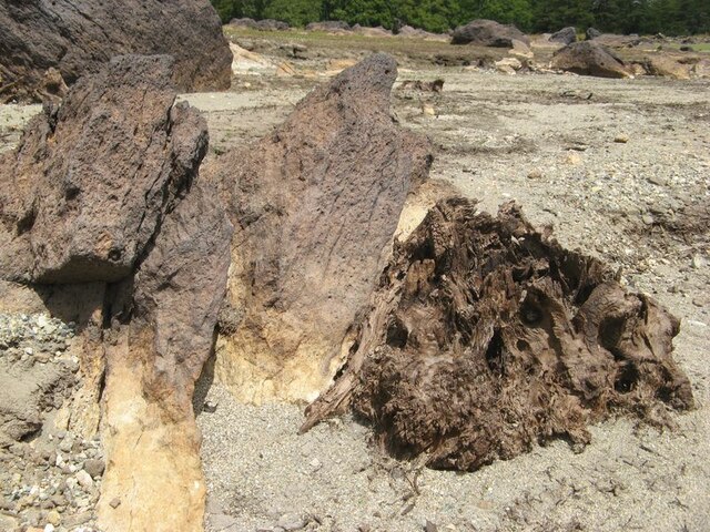
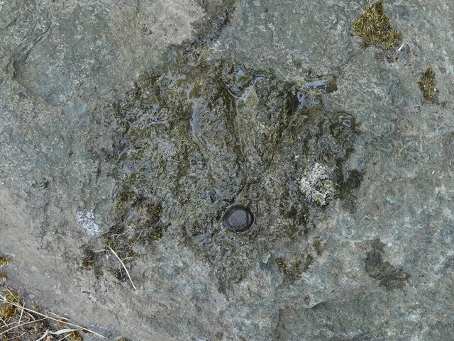
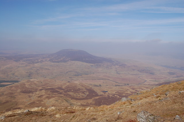
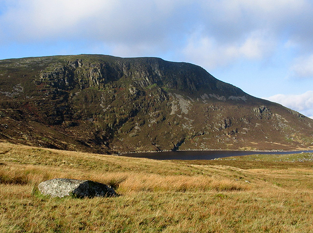
Bryn Du Images

Images are sourced within 2km of 52.9543/-3.7421492 or Grid Reference SH8341. Thanks to Geograph Open Source API. All images are credited.

Bythynod haearn rhychiog / Corrugated iron cottages
Bythynod haearn rhychiog / Corrugated iron cottages (2)
Defnydd newydd i hen gledren / A new use for an old railway rail This gatepost is right next to the trackbed of the Blaenau Ffestiniog to Bala railway which closed in 1961.
Defnydd newydd i hen gledren / A new use for an old railway rail
This gatepost is right next to the trackbed of the Blaenau Ffestiniog to Bala railway which closed in 1961.
Wal gerrig mewn cyflwr da / A well-maintained stone wall
Gwely rheilffordd Blaenau Ffestiog - Bala / Trackbed of the Blaenau Ffestiniog - Bala railway The trackbed and the embankment have survived in a surprisingly good condition, given that the railway line closed in 1961 and the construction of the Llyn Celyn reservoir has rendered impossible any prospect of it reopening.
Gwely rheilffordd Blaenau Ffestiog - Bala / Trackbed of the Blaenau Ffestiniog - Bala railway
The trackbed and the embankment have survived in a surprisingly good condition, given that the railway line closed in 1961 and the construction of the Llyn Celyn reservoir has rendered impossible any prospect of it reopening.
Cyfrwy Cennog / Dryad's Saddle / Cerioporus squamosus
Cyfrwy Cennog / Dryad's Saddle / Cerioporus squamosus (2)
Caeau gwair / Hayfields
Afon Tryweryn entering Llyn Celyn In the summer months the water in Llyn Celyn is release to maintain flow in the Dee for water extraction. The resulting low lake water level has exposed a rocky channel of small falls as the Tryweryn enters the lake.
Afon Tryweryn entering Llyn Celyn
In the summer months the water in Llyn Celyn is release to maintain flow in the Dee for water extraction. The resulting low lake water level has exposed a rocky channel of small falls as the Tryweryn enters the lake.
Low water, Llyn Celyn With almost unprecedented drought in Wales, Llyn Celyn is at a low level. Here is part of the drowned gorge of the Afon Tryweryn, where a waterfall runs over a geological feature, as a discontinuity makes a prominent slope. The rock here belongs to the Aran Fawddwy Formation, which comprises volcanic rock of Ordovician, Caradoc age. This rock unit extends some distance upstream, and is entirely in accordance with the rough, pock-marked boulders which have been carried by a glacier originating in the uplands to the west.
Low water, Llyn Celyn
With almost unprecedented drought in Wales, Llyn Celyn is at a low level. Here is part of the drowned gorge of the Afon Tryweryn, where a waterfall runs over a geological feature, as a discontinuity makes a prominent slope. The rock here belongs to the Aran Fawddwy Formation, which comprises volcanic rock of Ordovician, Caradoc age. This rock unit extends some distance upstream, and is entirely in accordance with the rough, pock-marked boulders which have been carried by a glacier originating in the uplands to the west.
Dry shore with treestump Low water levels have allowed the shore of the reservoir to dry out, exposing many features of the previous landscape. Here is a treestump originating from the felling of woodland on the historical slope above the Afon Treweryn. All around are large glacial erratic boulders originating in the previous large-scale modification of the terrain we call the Ice Age.
Dry shore with treestump
Low water levels have allowed the shore of the reservoir to dry out, exposing many features of the previous landscape. Here is a treestump originating from the felling of woodland on the historical slope above the Afon Treweryn. All around are large glacial erratic boulders originating in the previous large-scale modification of the terrain we call the Ice Age.
Wood and stone A fascinating juxtaposition of rocks and a treestump predating the reservoir construction. Was the tree a hawthorn growing by a wall, or was it a random pile of rocks? Both have a consistent patina from long submergence by the tannin-rich lake water.
Wood and stone
A fascinating juxtaposition of rocks and a treestump predating the reservoir construction. Was the tree a hawthorn growing by a wall, or was it a random pile of rocks? Both have a consistent patina from long submergence by the tannin-rich lake water.
Rivet benchmark by Cae Garnedd layby, Llyn Celyn Ordnance Survey rivet benchmark on a boulder in Cae Garnedd layby by Llyn Celyn. The boulder is next to post box LL23 84.
Rivet benchmark by Cae Garnedd layby, Llyn Celyn
Ordnance Survey rivet benchmark on a boulder in Cae Garnedd layby by Llyn Celyn. The boulder is next to post box LL23 84.
Arenig Fach from Arenig Fawr
Afon Tryweryn cascading into Llyn Celyn
Easterly view of Llyn Celyn
Looking west towards Arenig Fawr (?) From the A4212 heading towards Bala from Trawsfynydd. On a clear day unlike that in the similar shot by Nigel Brown <a title="https://www.geograph.org.uk/photo/1324971" href="https://www.geograph.org.uk/photo/1324971">Link</a>.
Looking west towards Arenig Fawr (?)
From the A4212 heading towards Bala from Trawsfynydd. On a clear day unlike that in the similar shot by Nigel Brown Link.
Llyn Celyn Western shoreline at Llyn Celyn, taken from where the old B4391 road to Capel Celyn disappears into the lake.
Llyn Celyn
Western shoreline at Llyn Celyn, taken from where the old B4391 road to Capel Celyn disappears into the lake.
Show me another place!

Bryn Du is located at Grid Ref: SH8341 (Lat: 52.9543, Lng: -3.7421492)

Unitary Authority: Gwynedd

Police Authority: North Wales

What 3 Words

///champions.gracing.host. Near Bala, Gwynedd

Nearby Locations

Bryn Du

Related Wikis

Arenig Fach

Arenig Fach is a mountain in southern Snowdonia, north Wales. It is a peak in the Arenig range and lies to the north of its parent peak Arenig Fawr. It...

Arenig railway station

Arenig railway station stood beneath Arenig Fawr on the Great Western Railway's Bala Ffestiniog Line in Gwynedd, Wales. It served this thinly populated...

Capel Celyn

Capel Celyn was a rural community to the northwest of Bala in Gwynedd, Wales, in the Afon Tryweryn valley. The village and other parts of the valley were...

Capel Celyn Halt railway station

Capel Celyn Halt was a solely passenger railway station which served the rural area of Capel Celyn west of Bala. It was on the Great Western Railway's...

Nearby Amenities

Located within 500m of 52.9543,-3.7421492
Source: npe
Lat/Long: 52.957897/-3.7441961
The data included in this document is from www.openstreetmap.org. The data is made available under ODbL.

Have you been to Bryn Du?

Leave your review of Bryn Du below (or comments, questions and feedback).