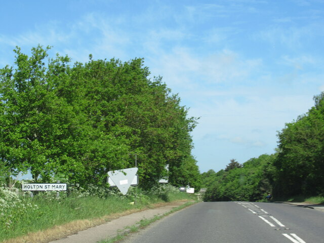
Holton St Mary
Settlement in Suffolk Babergh
England
Holton St Mary

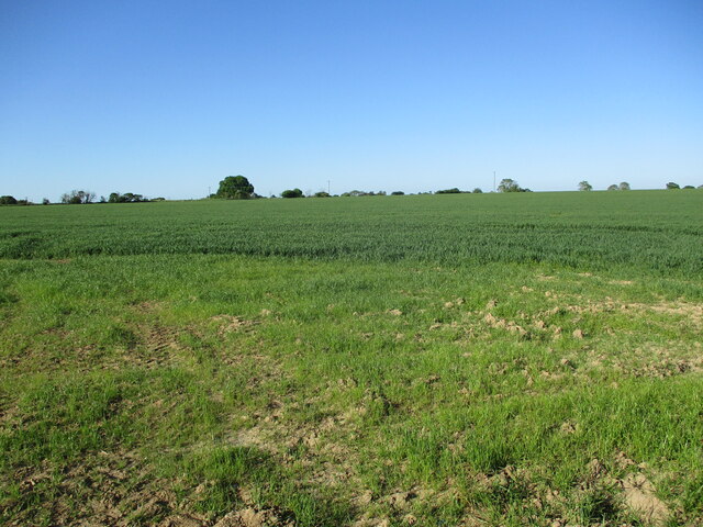
Holton St Mary is a small village located in the county of Suffolk, England. Situated just three miles east of the town of Ipswich, it is well-connected to the surrounding areas. The village is part of the Babergh district and is surrounded by picturesque countryside, offering a peaceful and idyllic setting.
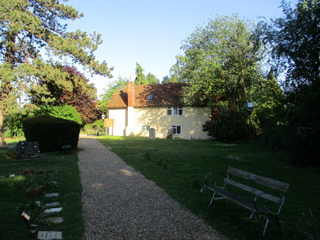
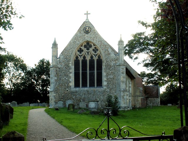
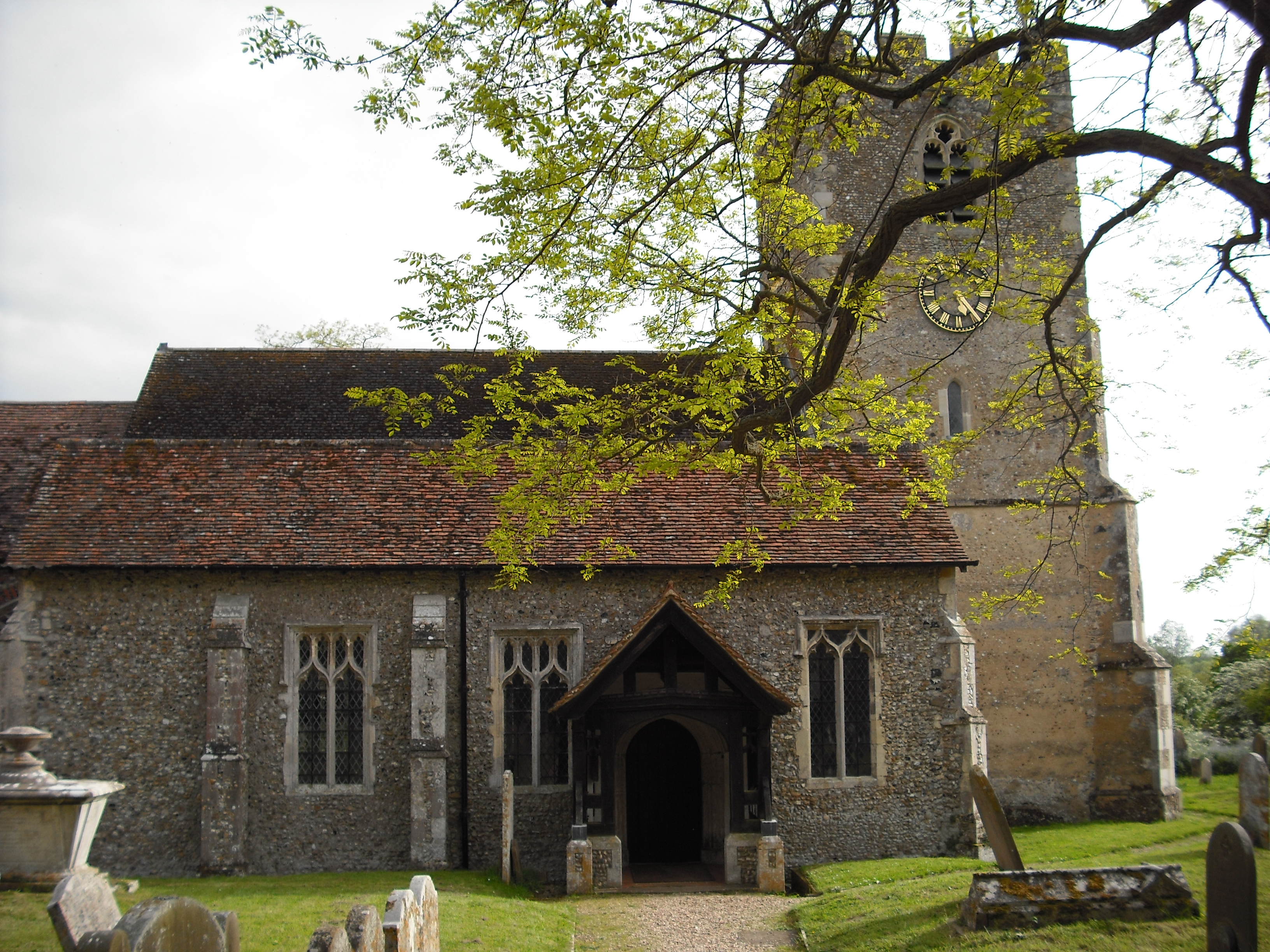
Holton St Mary has a rich history dating back to medieval times, with evidence of human settlement in the area as early as the 12th century. The village is known for its charming thatched cottages and traditional architecture, which add to its overall character and appeal.
Despite its small size, Holton St Mary boasts a strong community spirit and offers a range of amenities for its residents. These include a village hall, a primary school, and a local pub that serves as a social hub for the village. There are also various events and activities organized throughout the year, such as the annual village fete, which bring the community together.
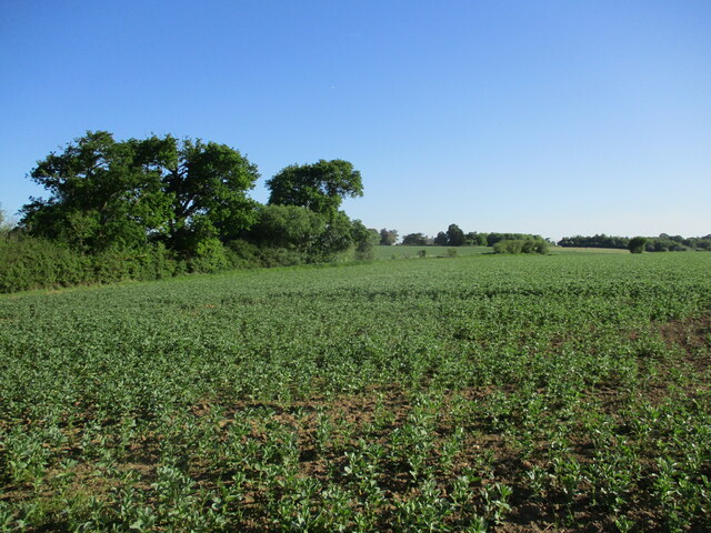
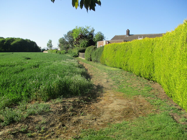
The village is surrounded by beautiful countryside, making it an ideal location for outdoor enthusiasts. There are several walking and cycling routes that provide opportunities to explore the stunning scenery and enjoy the fresh air.
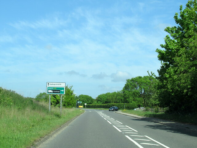
In terms of transportation, Holton St Mary benefits from good road links, with the A12 and A14 nearby, providing easy access to Ipswich and other major towns in the region. Additionally, the village is serviced by a local bus route, allowing for convenient travel to neighboring areas.
Overall, Holton St Mary is a charming and peaceful village that offers a close-knit community and a beautiful rural setting.
If you have any feedback on the listing, please let us know in the comments section below.
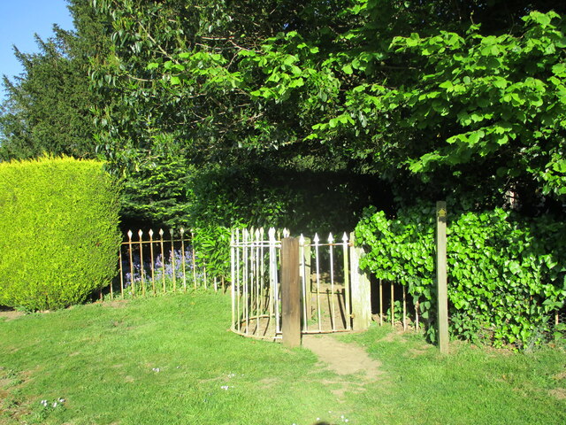
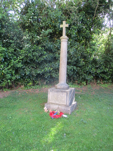
Holton St Mary Images
Images are sourced within 2km of 51.990972/0.999272 or Grid Reference TM0636. Thanks to Geograph Open Source API. All images are credited.


Holton St Mary is located at Grid Ref: TM0636 (Lat: 51.990972, Lng: 0.999272)
Administrative County: Suffolk
District: Babergh
Police Authority: Suffolk
What 3 Words
///jetted.brochure.technical. Near East Bergholt, Suffolk
Nearby Locations
Related Wikis
Holton St Mary
Holton St Mary is a village and civil parish in Suffolk, England. Located on the B1070 around five miles south-west of Ipswich and half a mile from the...

Wenham Magna
Wenham Magna, also known as Great Wenham, is a village and a civil parish in the Babergh district of Suffolk in eastern England. The parish also contains...

East Bergholt
East Bergholt is a village in the Babergh District of Suffolk, England, just north of the Essex border. The nearest town and railway station is Manningtree...
Raydon
Raydon is a village and civil parish in Suffolk, England. Located around two miles south-east of Hadleigh, it is part of Babergh district. The parish also...

East Bergholt High School
East Bergholt High School is a secondary school in East Bergholt, Suffolk, 11 miles (18 km) north of Colchester, Essex, and nine miles (14 km) south of...

East Bergholt Abbey
East Bergholt Abbey was an abbey in Suffolk, England. It was built on land purchased in 1857 on the site of Old Hall manor. == History == === Old Hall... ===
Higham, Babergh
Higham is a village and civil parish in Suffolk, England. Located on the eastern bank of the River Brett (which defines the parish's western boundary)...
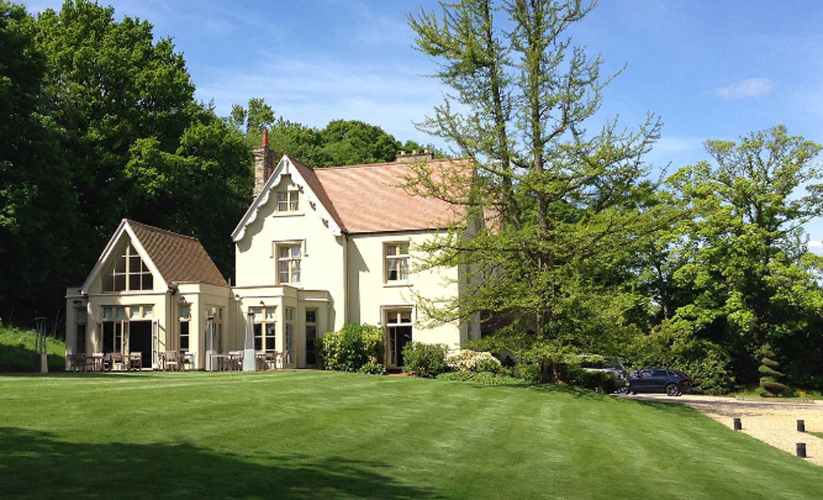
Maison Talbooth, Dedham
Maison Talbooth, Dedham in Essex is a building of historical significance. The construction was started in 1846 and completed by 1850. The architect was...
Nearby Amenities
Located within 500m of 51.990972,0.999272Have you been to Holton St Mary?
Leave your review of Holton St Mary below (or comments, questions and feedback).