Bryn Mawr

Hill, Mountain in Merionethshire

Wales

Bryn Mawr

Ruin below Glasgwm
Ruin below Glasgwm Credit: Steven Brown

Bryn Mawr is a picturesque hill located in Merionethshire, a historic county in Wales, United Kingdom. Situated in the Snowdonia National Park, this magnificent mountain is a popular destination for outdoor enthusiasts and nature lovers.

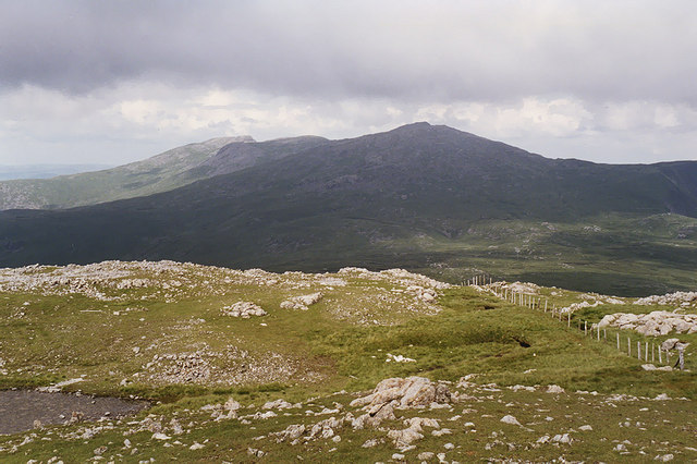
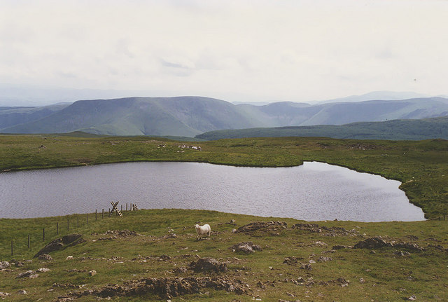
Rising to an elevation of approximately 540 meters (1,772 feet), Bryn Mawr offers breathtaking panoramic views of the surrounding landscape. The hill is covered in lush greenery, with a variety of flora and fauna that thrive in this natural habitat. The slopes of Bryn Mawr are adorned with heather, grasses, and wildflowers, creating a colorful tapestry during the warmer months.

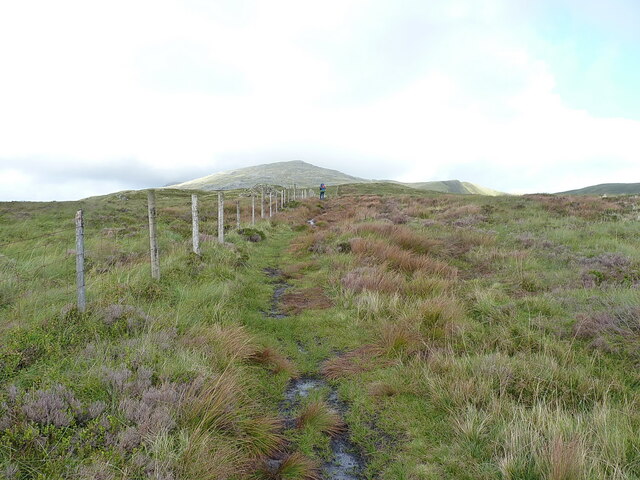
The hill is a haven for hikers and walkers, with numerous trails and footpaths that wind their way up to the summit. These routes vary in difficulty, catering to both experienced trekkers and casual walkers. As visitors ascend Bryn Mawr, they are treated to stunning vistas of the nearby peaks, valleys, and lakes, making it a photographer's paradise.

Bryn Mawr is not only a place of natural beauty but also holds historical significance. It is believed that the hill was once a site of an Iron Age hillfort, providing a glimpse into the region's ancient past.

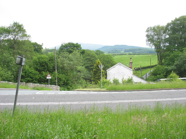
The surrounding area of Merionethshire offers ample opportunities for exploration and discovery. Visitors can explore charming villages, visit historic sites, and indulge in local cuisine. Additionally, the nearby Snowdonia National Park is home to a wide range of outdoor activities, including rock climbing, mountain biking, and wildlife spotting.

In conclusion, Bryn Mawr in Merionethshire is a stunning hill that showcases the natural beauty of Wales. With its breathtaking views, diverse flora and fauna, and rich history, it is a must-visit destination for anyone seeking an authentic outdoor experience.

If you have any feedback on the listing, please let us know in the comments section below.

Bryn Mawr Images

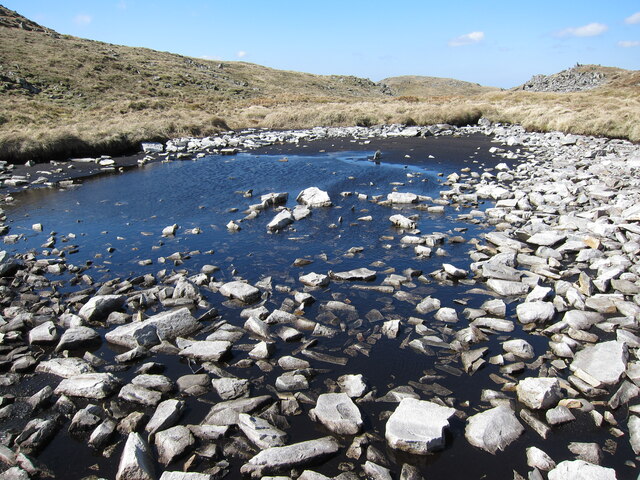
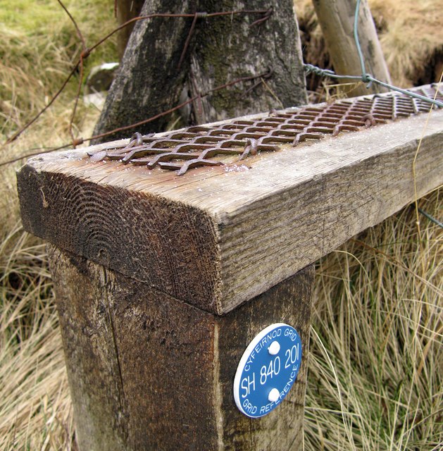
Images are sourced within 2km of 52.764354/-3.7411661 or Grid Reference SH8219. Thanks to Geograph Open Source API. All images are credited.

Ruin below Glasgwm
Ruin below Glasgwm
Llyn Bach near Glasgwm Taken after a long dry spell.
Llyn Bach near Glasgwm
Taken after a long dry spell.
Ruined building beside Llwybr Elen Described by the RCAHMW Uplands Initiative Project in 2012 as 'probably a former dwelling'; there's also a length of drystone walling surrounding the ruin, and a nearby levelled platform area which was possibly the site of a medieval dwelling.
Ruined building beside Llwybr Elen
Described by the RCAHMW Uplands Initiative Project in 2012 as 'probably a former dwelling'; there's also a length of drystone walling surrounding the ruin, and a nearby levelled platform area which was possibly the site of a medieval dwelling.
On the path up towards Waun Camddwr The path up this hillside follows the fenceline closely all the way; getting badly lost would be quite challenging.
On the path up towards Waun Camddwr
The path up this hillside follows the fenceline closely all the way; getting badly lost would be quite challenging.
"Just follow the fence" The fence marks the line of the footpath up past Waun Camddwr and on towards Aran Fawddwy left of centre.
"Just follow the fence"
The fence marks the line of the footpath up past Waun Camddwr and on towards Aran Fawddwy left of centre.
Cwm Cywarch Cerddwyr yn disgyn i lawr y waered at Gwm Cywarch.

Walkers descending the hill towards Cwm Cywarch.
Cwm Cywarch
Cerddwyr yn disgyn i lawr y waered at Gwm Cywarch. Walkers descending the hill towards Cwm Cywarch.
Llyn y Fign Llyn y Fign ger copa Glasgwm.

Llyn y Fign (trans. lake of the bog) near the summit of Glasgwm (trans. green valley).
Llyn y Fign
Llyn y Fign ger copa Glasgwm. Llyn y Fign (trans. lake of the bog) near the summit of Glasgwm (trans. green valley).
Summit Cairn on Glasgwm The quite large cairn at the summit of Glasgwm on the Aran range. If you like silence, this place may suit you.
Summit Cairn on Glasgwm
The quite large cairn at the summit of Glasgwm on the Aran range. If you like silence, this place may suit you.
Looking back to Waun Camddwr The weather is deteriorating and the views are limited, but the fenceline and footpath back to Waun Camddwr is visible and beyond that, in cloud, is the summit of Aran Fawddwy. Back to the car methinks.
Looking back to Waun Camddwr
The weather is deteriorating and the views are limited, but the fenceline and footpath back to Waun Camddwr is visible and beyond that, in cloud, is the summit of Aran Fawddwy. Back to the car methinks.
View towards Aran Fawddwy Taken from Bwlch y Main, just west of where the path to the mountain heads off.
View towards Aran Fawddwy
Taken from Bwlch y Main, just west of where the path to the mountain heads off.
Slopes north of Glasgwm The slopes fall to the forest plantations in the valley of the Afon Cwm-ochr. The Moelwyn range of mountains lies to the left side of the image with Rhobell Fawr nearer and to the right.
Slopes north of Glasgwm
The slopes fall to the forest plantations in the valley of the Afon Cwm-ochr. The Moelwyn range of mountains lies to the left side of the image with Rhobell Fawr nearer and to the right.
Keep to the boardwalk
SH 840 201 near Glasgwm This is the first time that I have ever seen a grid reference marked like this.
I have now discovered that these grid ref markers are part of a scheme to make the mountains a safer place. They have been implemented by the Snowdonia National Park Authority and the Mountain Rescue to help people in need of rescue to give their exact location; they are common in accident blackspots in Snowdonia.
SH 840 201 near Glasgwm
This is the first time that I have ever seen a grid reference marked like this. I have now discovered that these grid ref markers are part of a scheme to make the mountains a safer place. They have been implemented by the Snowdonia National Park Authority and the Mountain Rescue to help people in need of rescue to give their exact location; they are common in accident blackspots in Snowdonia.
Sign to Cwm Cywarch The sign is a little misleading as it is down not up to Cwm Cywarch
Sign to Cwm Cywarch
The sign is a little misleading as it is down not up to Cwm Cywarch
Tuag at Lasgwm / Towards Glasgwm Cerddwyr yn dilyn llwybr i gyfeiriad Glasgwm, y fan yn y pellter.

Walkers following a path in the direction of Glasgwm (green valley), the peak in the distance.
Tuag at Lasgwm / Towards Glasgwm
Cerddwyr yn dilyn llwybr i gyfeiriad Glasgwm, y fan yn y pellter. Walkers following a path in the direction of Glasgwm (green valley), the peak in the distance.
Small mountain waterfall above Cwm Cywarch This beautiful waterfall takes a sudden turn and bids me farewell as I make my descent.
Small mountain waterfall above Cwm Cywarch
This beautiful waterfall takes a sudden turn and bids me farewell as I make my descent.
View north east from Glasgwm Looking towards Aran Fawddwy.
View north east from Glasgwm
Looking towards Aran Fawddwy.
Looking south west from Glasgwm Looking from the summit, over Llyn y Fign, to the hills south of the A470.
Looking south west from Glasgwm
Looking from the summit, over Llyn y Fign, to the hills south of the A470.
Show me another place!

Bryn Mawr is located at Grid Ref: SH8219 (Lat: 52.764354, Lng: -3.7411661)

Unitary Authority: Gwynedd

Police Authority: North Wales

What 3 Words

///picnic.cards.kickers. Near Dolgellau, Gwynedd

Nearby Locations

Bryn Mawr

Related Wikis

Craig Cywarch

Craig Cywarch is an extensive crag looming above Cwm Cywarch. The nearest village is Dinas Mawddwy on the A470. Climbing routes on the various buttresses...

Pen y Brynfforchog

Pen y Brynfforchog is subsidiary summit of Glasgwm in North Wales forming part of the Aran range in southern Snowdonia.It is separated from Glasgwm by...

Drws-y-Nant

Drws-y-Nant is a village in Gwynedd, Wales. It was formerly served by the Drws-y-Nant railway station but this closed in 1965.

Drws-y-Nant railway station

Drws-y-Nant railway station (Pron: Droos-a-Nant) in Gwynedd, Wales, was formerly a station on the Ruabon to Barmouth line. The station had two platforms...

Have you been to Bryn Mawr?

Leave your review of Bryn Mawr below (or comments, questions and feedback).