Banc Nant-rhys

Hill, Mountain in Cardiganshire

Wales

Banc Nant-rhys

Cofn Croes Moorland Looking towards another group of wind turbines from a spot near the summit of the moor. Peat hags can be seen in front of the masts.
Cofn Croes Moorland Credit: Jonathan Clitheroe

Banc Nant-rhys is a prominent hill located in Cardiganshire, Wales. Situated in the picturesque countryside, it is a popular destination for outdoor enthusiasts and nature lovers alike. With an elevation of approximately 472 meters (1,548 feet), it offers breathtaking panoramic views of the surrounding landscape.

This hill is characterized by its rugged terrain, covered in heather and grasses, providing a habitat for a diverse range of flora and fauna. It is home to several species of birds, including skylarks, curlews, and red kites. The area surrounding Banc Nant-rhys is also rich in biodiversity, with an array of wildflowers and rare plants found in its vicinity.

For those seeking adventure, Banc Nant-rhys offers various walking trails and paths, allowing visitors to explore its natural beauty. The hill's challenging slopes attract hikers and climbers who are keen to test their skills. The summit provides a rewarding experience, as it offers breathtaking views of the Cardiganshire countryside, including the nearby coastline and rolling hills.

Banc Nant-rhys is also steeped in history and folklore. It is said to be the site of ancient settlements and burial grounds, with archaeological evidence supporting this claim. Visitors can explore these historical remnants and immerse themselves in the rich cultural heritage of the area.

Overall, Banc Nant-rhys is a captivating destination that combines natural beauty, outdoor activities, and historical significance. It serves as a haven for those seeking tranquility and adventure, while also providing an opportunity to connect with the rich natural and cultural heritage of Cardiganshire.

If you have any feedback on the listing, please let us know in the comments section below.

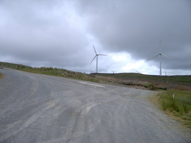
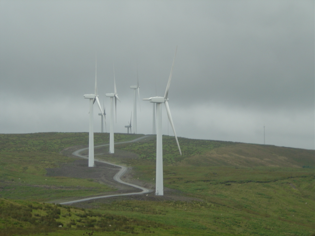
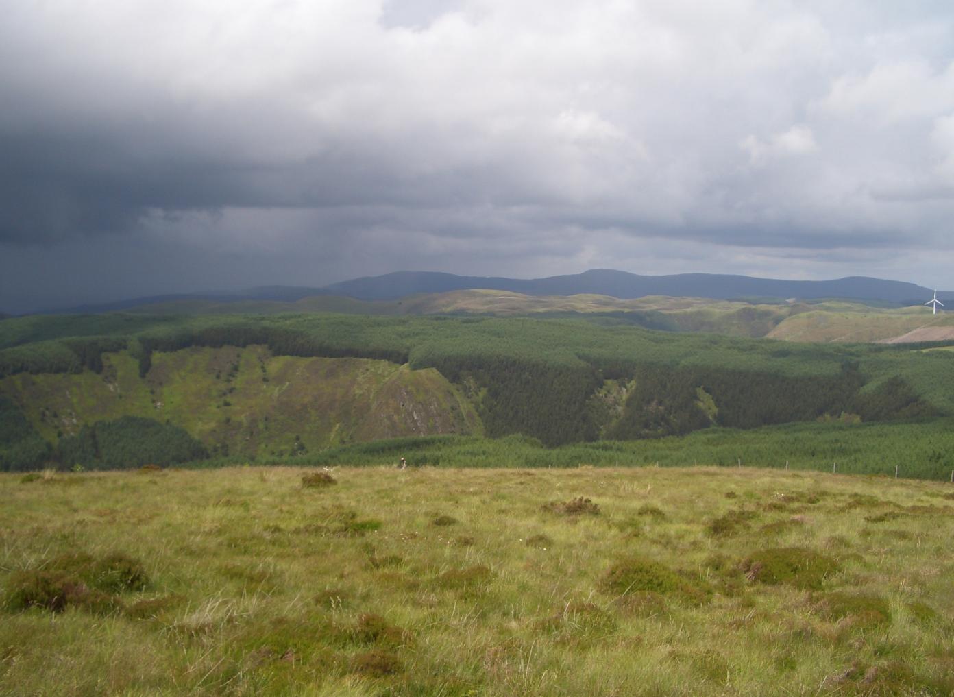
Banc Nant-rhys Images

Images are sourced within 2km of 52.398106/-3.7286045 or Grid Reference SN8279. Thanks to Geograph Open Source API. All images are credited.

Cofn Croes Moorland Looking towards another group of wind turbines from a spot near the summit of the moor. Peat hags can be seen in front of the masts.
Cofn Croes Moorland
Looking towards another group of wind turbines from a spot near the summit of the moor. Peat hags can be seen in front of the masts.
Disused Quarry at Bryn-du
Nant Rhys on a frosty morning A basic shelter maintained by volunteers of the Mountain Bothies Association with permission of the landowner. The blocked up window in this photograph has since been opened up again.
Nant Rhys on a frosty morning
A basic shelter maintained by volunteers of the Mountain Bothies Association with permission of the landowner. The blocked up window in this photograph has since been opened up again.
Wind Turbines and Service Road Pictured from the north east corner of the square.
Wind Turbines and Service Road
Pictured from the north east corner of the square.
Wind Turbine at Banc Nant-rhys This is the most southerly in a chain of six turbines high on the mid-Wales moors. Each strategically placed group of generators form part of the 39 mast-strong Cefn Croes Wind Farm.
Wind Turbine at Banc Nant-rhys
This is the most southerly in a chain of six turbines high on the mid-Wales moors. Each strategically placed group of generators form part of the 39 mast-strong Cefn Croes Wind Farm.
Forestry and Wind Turbines at Rhos Grafiaullwynog Upland scene pictured from a forestry track on a sunny July afternoon. A rapidly changing landscape of coniferous tree felling and regrowth characterises this grid square.
Forestry and Wind Turbines at Rhos Grafiaullwynog
Upland scene pictured from a forestry track on a sunny July afternoon. A rapidly changing landscape of coniferous tree felling and regrowth characterises this grid square.
Woodland Track at Nant Rhys
Nant Rhys bothy Owned by Forest Enterprise and operated by the Mountain Bothies Association.
Nant Rhys bothy
Owned by Forest Enterprise and operated by the Mountain Bothies Association.
Signs on the door Nant Rhys bothy
Signs on the door
Nant Rhys bothy
Afon Diliw looking south The river forms the Ceredigion/Powys county boundary. The grass is in Ceredigion, the trees are in Powys.
Afon Diliw looking south
The river forms the Ceredigion/Powys county boundary. The grass is in Ceredigion, the trees are in Powys.
Wind Farm on Cefn Croes In the foreground is the plaque commemorating the opening of this wind farm on 16 June 2005.
Wind Farm on Cefn Croes
In the foreground is the plaque commemorating the opening of this wind farm on 16 June 2005.
A view towards Banc Nant-Rhys and the Cefn Croes Wind-farm
Cefn Croes Climbed after bagging Pen Y Garn, walking down and through the noisy wind turbines on a clear spring day.
Name: Cefn Croes
Hill number: 3479
Height: 573m / 1880ft
Area: 31C: South-West Wales
Class: 5
Grid ref: SN 80800 79954
Summit feature: no feature
Drop: 45m
Col: 528m  SN806811
Cefn Croes
Climbed after bagging Pen Y Garn, walking down and through the noisy wind turbines on a clear spring day. Name: Cefn Croes Hill number: 3479 Height: 573m / 1880ft Area: 31C: South-West Wales Class: 5 Grid ref: SN 80800 79954 Summit feature: no feature Drop: 45m Col: 528m SN806811
Ffordd Fforest, Bryn Rhudd / Forest Road, Bryn Rhudd Ffordd Fforest sydd ar ochr fforest coniferaidd / Forest road on the edge of a coniferous forest
Ffordd Fforest, Bryn Rhudd / Forest Road, Bryn Rhudd
Ffordd Fforest sydd ar ochr fforest coniferaidd / Forest road on the edge of a coniferous forest
Tyrbeini Gwynt, Banc Nant Rhys / Banc Nant Rhys, Wind Turbines Tyrbeini Gwynt ar Banc Nant Rhys syn rhan Fferm Gwynt Cefn Croes / Wind Turbines on Banc Nant Rhys which are part of the Cefn Croes Wind Farm.
Tyrbeini Gwynt, Banc Nant Rhys / Banc Nant Rhys, Wind Turbines
Tyrbeini Gwynt ar Banc Nant Rhys syn rhan Fferm Gwynt Cefn Croes / Wind Turbines on Banc Nant Rhys which are part of the Cefn Croes Wind Farm.
Ffordd Fforest ger Esgair Lwyd / Forest Road near Esgair Lwyd Ffordd Fforest ger Esgair Lwyd ar ochr Fforest coniferaidd / Forest Road near Esgair Lwyd, on the edge of a coniferous forest.
Ffordd Fforest ger Esgair Lwyd / Forest Road near Esgair Lwyd
Ffordd Fforest ger Esgair Lwyd ar ochr Fforest coniferaidd / Forest Road near Esgair Lwyd, on the edge of a coniferous forest.
Wind power station maintenance track This track junction is at the heart of Cefn Croes power station.  The tracks have to be substantial because of the sheer size of the turbines and the boggy landscape they are placed in.  The turbines here are located on Cefn Croes, the hill ridge giving its name to the entire installation.  The turbines occupy the high ground (above 500m) in the eastern half of this square.  On the western side, the ground slopes steeply down towards the head of Cwm Merin, which is forested.
Wind power station maintenance track
This track junction is at the heart of Cefn Croes power station. The tracks have to be substantial because of the sheer size of the turbines and the boggy landscape they are placed in. The turbines here are located on Cefn Croes, the hill ridge giving its name to the entire installation. The turbines occupy the high ground (above 500m) in the eastern half of this square. On the western side, the ground slopes steeply down towards the head of Cwm Merin, which is forested.
Plaque at the top of Cefn Croes wind power station The plaque commemorates the official opening of the power station in summer 2005.  It is located near the top of Cefn Croes, the hill after which the whole power station is named.  Most of the about 40 turbines are visible from here.
Plaque at the top of Cefn Croes wind power station
The plaque commemorates the official opening of the power station in summer 2005. It is located near the top of Cefn Croes, the hill after which the whole power station is named. Most of the about 40 turbines are visible from here.
Show me another place!

Banc Nant-rhys is located at Grid Ref: SN8279 (Lat: 52.398106, Lng: -3.7286045)

Unitary Authority: Ceredigion

Police Authority: Dyfed Powys

What 3 Words

///texted.resolves.pushover. Near Cwmystwyth, Ceredigion

Nearby Locations

Banc Nant-rhys

Related Wikis

Cefn Croes Wind Farm

Cefn Croes is a wind farm in Ceredigion, Wales. It is located in the Cambrian Mountains on Cefn Croes mountain, 573m (1,880 ft) south of the A44 road between...

Pen y Garn

Pen y Garn is a mountain in the Cambrian Mountains, Mid Wales standing at 611 metres above sea level. Pen y Garn tops a 500–600 m high plateau, which includes...

Y Glog (mountain)

Y Glog or Draws Drum is a mountain situated in Ceredigion, Wales. It stands at an elevation of 574 metres (1883 feet) above sea level and is located a...

Mwyngloddfa Cwmystwyth

Mwyngloddfa Cwmystwyth is a Site of Special Scientific Interest in Ceredigion, west Wales. It comprises old mine workings located in the upper Ystwyth...

Nearby Amenities

Located within 500m of 52.398106,-3.7286045
Generator Method: wind_turbine
Generator Output Electricity: 1.5 MW
Generator Source: wind
Generator Type: horizontal_axis
Power: generator
Lat/Long: 52.399872/-3.7335601
Generator Method: wind_turbine
Generator Output Electricity: 1.5 MW
Generator Source: wind
Generator Type: horizontal_axis
Power: generator
Lat/Long: 52.3982358/-3.7327233
Generator Method: wind_turbine
Generator Output Electricity: 1.5 MW
Generator Source: wind
Generator Type: horizontal_axis
Power: generator
Source: Bing
Lat/Long: 52.3954209/-3.7232277
The data included in this document is from www.openstreetmap.org. The data is made available under ODbL.

Have you been to Banc Nant-rhys?

Leave your review of Banc Nant-rhys below (or comments, questions and feedback).