Cefn Llwyd

Hill, Mountain in Montgomeryshire

Wales

Cefn Llwyd

Dyfi Rally Stage (WRC)
Dyfi Rally Stage (WRC) Credit: Brian Deegan

Cefn Llwyd is a prominent hill located in the county of Montgomeryshire, Wales. It is situated in the eastern part of the county, close to the border with Shropshire, England. Rising to an elevation of approximately 391 meters (1,283 feet), Cefn Llwyd offers breathtaking panoramic views of the surrounding countryside.

The hill is characterized by its gently sloping sides, covered in lush green grass and scattered with rocky outcrops. It forms part of the larger region known as the Welsh Marches, which is renowned for its picturesque landscapes and rolling hills.

Cefn Llwyd is a popular destination for hikers and nature enthusiasts, offering a variety of walking trails that cater to different levels of fitness. The summit provides a vantage point to admire the beauty of the Montgomeryshire countryside, with its patchwork fields, charming villages, and meandering rivers.

The hill is also home to a diverse range of flora and fauna, including a variety of bird species, small mammals, and wildflowers. The surrounding area is known for its rich biodiversity, with several nature reserves and protected sites nearby.

Cefn Llwyd is easily accessible by road, with a car park located at the base of the hill, providing a convenient starting point for those wishing to explore its natural beauty. Whether you are seeking a peaceful retreat or an adventurous hike, Cefn Llwyd offers a captivating experience for all who visit.

If you have any feedback on the listing, please let us know in the comments section below.
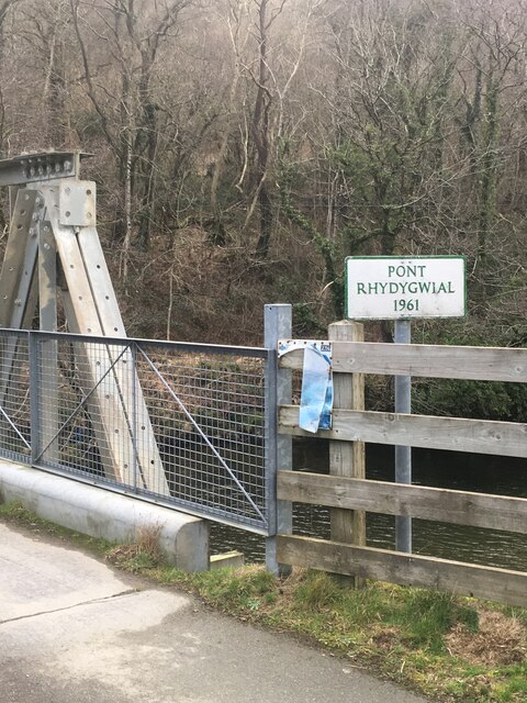
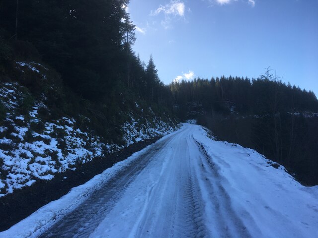
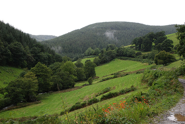
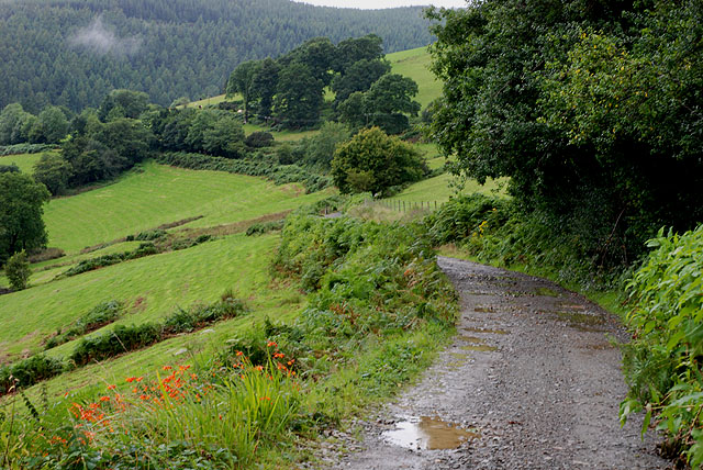
Cefn Llwyd Images

Images are sourced within 2km of 52.653106/-3.7391659 or Grid Reference SH8207. Thanks to Geograph Open Source API. All images are credited.

Dyfi Rally Stage (WRC)
Farm gate In Dyffryn Dovey, a short distance from Cemmaes Road.
Farm gate
In Dyffryn Dovey, a short distance from Cemmaes Road.
Sign marking Pont Rhydygwial This bridge was constructed in 1961.
Sign marking Pont Rhydygwial
This bridge was constructed in 1961.
Junction of several forestry roads in Dyfi Forest
Forestry road, Dyfi Forest
Dismantled Mawddwy railway crossing farmland
Pont Rhydygwial This steel bridge, built in 1961, carries a 'C' road across Afon Dyfi near to Cemmaes. Until this bridge was built, there was only a footbridge at this point and road vehicles had to cross the Dyfi by means of a ford.
Pont Rhydygwial
This steel bridge, built in 1961, carries a 'C' road across Afon Dyfi near to Cemmaes. Until this bridge was built, there was only a footbridge at this point and road vehicles had to cross the Dyfi by means of a ford.
Pont Rhydygwial A motorist's view of the bridge.
Pont Rhydygwial
A motorist's view of the bridge.
Country lane near Cemmaes Looking towards Cemmaes from Pont Rhydygwial.
Country lane near Cemmaes
Looking towards Cemmaes from Pont Rhydygwial.
Afon Dyfi Looking downstream from Pont Rhydygwial. The Dyfi was crossed by a ford here until a bridge was constructed in 1961.
Afon Dyfi
Looking downstream from Pont Rhydygwial. The Dyfi was crossed by a ford here until a bridge was constructed in 1961.
Afon Dyfi Looking upstream from Pont Rhydygwial, near Cemmaes.
Afon Dyfi
Looking upstream from Pont Rhydygwial, near Cemmaes.
Pasture in Dyffryn Dyfi Looking south, viewed from a country lane which crosses the north-west corner of the square.
Pasture in Dyffryn Dyfi
Looking south, viewed from a country lane which crosses the north-west corner of the square.
Pasture in Dyffryn Dyfi Looking east, viewed from a country lane which crosses the north-west corner of the square.
Pasture in Dyffryn Dyfi
Looking east, viewed from a country lane which crosses the north-west corner of the square.
Country lane in Dyffryn Dyfi The lane crosses the very north-west corner of the square.
Country lane in Dyffryn Dyfi
The lane crosses the very north-west corner of the square.
Country lane in Dyffryn Dyfi Looking north-eastwards, near the eastern edge of the square
Country lane in Dyffryn Dyfi
Looking north-eastwards, near the eastern edge of the square
Forestry track near Dol-fôr Leaving the minor road up Cwm Ceirig.
Forestry track near Dol-fôr
Leaving the minor road up Cwm Ceirig.
Cwm Ceirig Looking up this long and not readily accessible valley.
Cwm Ceirig
Looking up this long and not readily accessible valley.
Bridleway up Cwm Ceirig The bridleway begins by following this farm and forestry track, before diving across the fields on the left.
Bridleway up Cwm Ceirig
The bridleway begins by following this farm and forestry track, before diving across the fields on the left.
Show me another place!

Cefn Llwyd is located at Grid Ref: SH8207 (Lat: 52.653106, Lng: -3.7391659)

Unitary Authority: Powys

Police Authority: Dyfed Powys

What 3 Words

///cashiers.mailing.courtyard. Near Cwm-Llinau, Powys

Related Wikis

Cemmaes railway station

Cemmaes railway station was an intermediate railway station on the Mawddwy Railway which ran from Cemmaes Road to Dinas Mawddy in the Welsh county of...

Cemmaes

Cemmaes (Welsh: Cemaes) is a village in northern Powys, Wales, in Glantwymyn community. The population numbered 935 in 1841, this dropped sharply between...

Afon Twymyn

The Afon Twymyn (English: River Twymyn) is a river in Powys, Mid Wales. From its source at the 40-metre high Ffrwd Fawr waterfall and head of the Pennant...

Afon Angell

The Afon Angell is a river in Gwynedd, Mid Wales. The river flows eastwards from its source on the eastern flank of Mynydd Dolgoed, joining the Afon Dyfi...

Have you been to Cefn Llwyd?

Leave your review of Cefn Llwyd below (or comments, questions and feedback).