Tom na Slaite
Hill, Mountain in Inverness-shire
Scotland
Tom na Slaite

Tom na Slaite is a prominent hill located in the Inverness-shire region of Scotland. It is situated in the western part of the county, near the village of Invermoriston. With an elevation of approximately 550 meters (1,800 feet), it is not classified as a mountain but is often referred to as such due to its impressive size and rugged appearance.
The hill is a popular destination for outdoor enthusiasts, offering a variety of activities such as hiking and hillwalking. Its location provides breathtaking panoramic views of the surrounding landscape, including Loch Ness and the Great Glen. On a clear day, visitors can admire the vast expanse of rolling hills, dense forests, and sparkling waterways that stretch as far as the eye can see.
Tom na Slaite is known for its diverse plant and wildlife, making it a haven for nature lovers. The hill is covered in heather and grasses, creating a colorful and vibrant landscape. Birdwatchers can spot a variety of species, including golden eagles and peregrine falcons, soaring through the skies above.
Access to Tom na Slaite is relatively straightforward, with a well-marked path leading to the summit. However, it is important to be adequately prepared, as the weather conditions can change rapidly, and the terrain can be challenging in certain areas.
Whether seeking a challenging hike or simply a peaceful retreat surrounded by nature, Tom na Slaite offers a memorable experience for all who venture to its slopes.
If you have any feedback on the listing, please let us know in the comments section below.
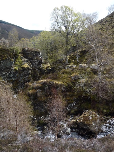
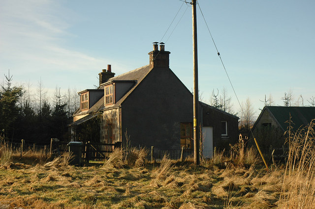
Tom na Slaite Images
Images are sourced within 2km of 57.383771/-3.9587298 or Grid Reference NH8234. Thanks to Geograph Open Source API. All images are credited.


Tom na Slaite is located at Grid Ref: NH8234 (Lat: 57.383771, Lng: -3.9587298)
Unitary Authority: Highland
Police Authority: Highlands and Islands
What 3 Words
///dote.asteroid.brightly. Near Milton of Leys, Highland
Nearby Locations
Related Wikis

Inverness, Nairn, Badenoch and Strathspey (UK Parliament constituency)
Inverness, Nairn, Badenoch and Strathspey is a constituency of the House of Commons of the UK Parliament. As with all seats since 1950 it elects one Member...
Balvraid
Balvraid (Scottish Gaelic: Baile a' Bhràghaid) is a small remote settlement, located 8 miles south east of Inverness in Inverness-shire, Scottish Highlands...
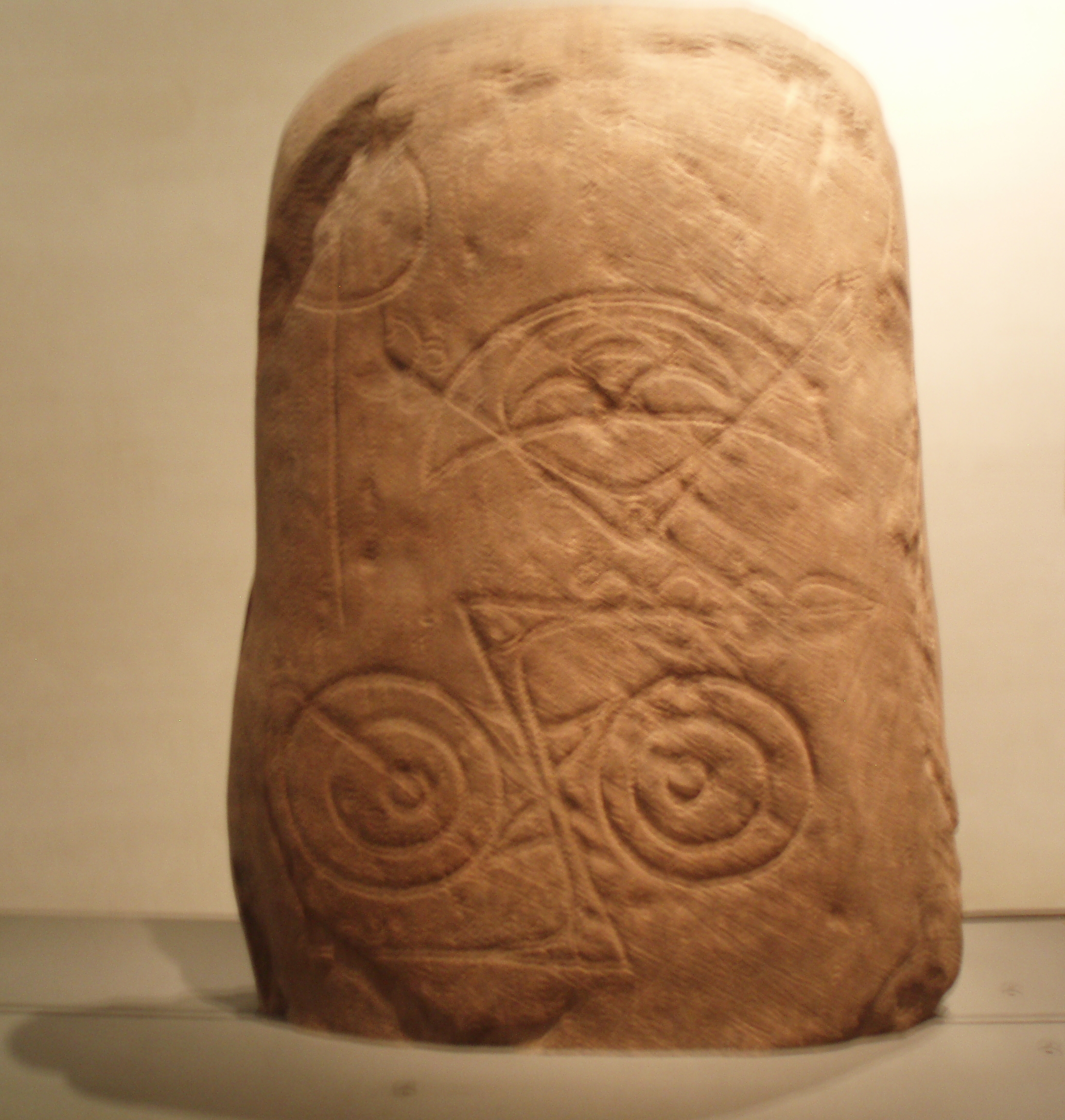
Invereen Stone
The Invereen Stone is a Class I incised Pictish stone that was unearthed near Invereen, Inverness in 1932. It is now on display at the National Museums...
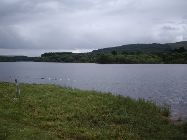
Loch Moy
Loch Moy (from the Scottish Gaelic Loch A'Mhoigh meaning the Loch of the Plain) is a freshwater loch beside the village of Moy near Inverness in the Scottish...
Nearby Amenities
Located within 500m of 57.383771,-3.9587298Have you been to Tom na Slaite?
Leave your review of Tom na Slaite below (or comments, questions and feedback).