Jock's Ruck
Hill, Mountain in Dumfriesshire
Scotland
Jock's Ruck

Jock's Ruck is a prominent hill located in the region of Dumfriesshire in southwest Scotland. Standing at an elevation of approximately 1,174 feet (358 meters), it is often referred to as a mountain due to its height and rugged terrain.
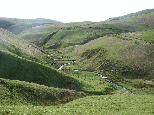
The hill is situated within the Southern Uplands, a range of rolling hills and low mountains that stretches across the southern part of Scotland. Jock's Ruck is characterized by its distinct conical shape, with steep slopes covered in grass and heather. The hill is a popular destination for hikers and nature enthusiasts, offering breathtaking panoramic views of the surrounding countryside and nearby towns.
Amidst its tranquil setting, Jock's Ruck is home to a wide variety of flora and fauna. The hill's diverse vegetation includes heather, gorse, and mosses, while its animal inhabitants range from birds such as red grouse and skylarks to deer and other small mammals.
Hikers can enjoy numerous walking routes that lead to the summit of Jock's Ruck, providing a challenging but rewarding experience. The hill's ascent offers opportunities for birdwatching, photography, and appreciating the natural beauty of the Scottish countryside. Visitors are advised to come prepared with appropriate footwear and clothing, as the weather conditions at higher altitudes can be changeable and unpredictable.
In conclusion, Jock's Ruck is a picturesque hill in Dumfriesshire, Scotland, offering stunning views, diverse flora and fauna, and a chance to immerse oneself in the region's natural splendor.
If you have any feedback on the listing, please let us know in the comments section below.
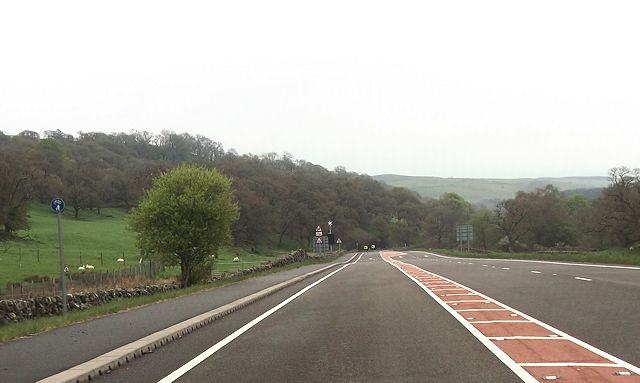
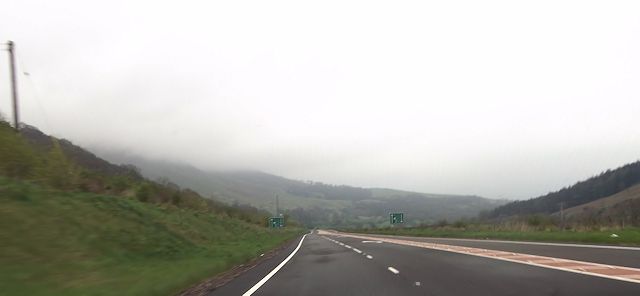
Jock's Ruck Images
Images are sourced within 2km of 55.329067/-3.8624635 or Grid Reference NS8105. Thanks to Geograph Open Source API. All images are credited.


Jock's Ruck is located at Grid Ref: NS8105 (Lat: 55.329067, Lng: -3.8624635)
Unitary Authority: Dumfries and Galloway
Police Authority: Dumfries and Galloway
What 3 Words
///barbarian.garlic.light. Near Sanquhar, Dumfries & Galloway
Nearby Locations
Related Wikis

Mennock Lye Goods Depot
Mennock Lye Goods Depot or Mennock Siding was a railway freight facility located off the A76 in the hamlet of Mennock that lies circa two miles (three...

Mennock
Mennock is a small village or hamlet which lies 2 miles (3.2 km) south-east of Sanquhar on the A76, in Dumfriesshire, in the District Council Region of...

Kirkbride, Durisdeer
Kirkbride, previously Kilbride was an ancient parish close to the village of Enterkinfoot, the lands of which lay on both sides of the River Nith in the...
Enterkinfoot
Enterkinfoot is a small village or hamlet which lies 6 miles (9.7 km) north of Thornhill on the A76 on the route to Sanquhar, in Dumfriesshire, Durisdeer...

Sanquhar Castle
Sanquhar Castle, now a ruin, was built in the 13th century; the ruins are situated north east of Dumfries overlooking the River Nith. Situated on the southern...

Sanquhar
Sanquhar (Scots: Sanchar, Scottish Gaelic: Seanchair) is a village on the River Nith in Dumfries and Galloway, Scotland, north of Thornhill and west of...

Sanquhar Tolbooth
Sanquhar Tolbooth is a municipal building in the High Street in Sanquhar, Dumfries and Galloway, Scotland. The structure, which accommodates a local history...
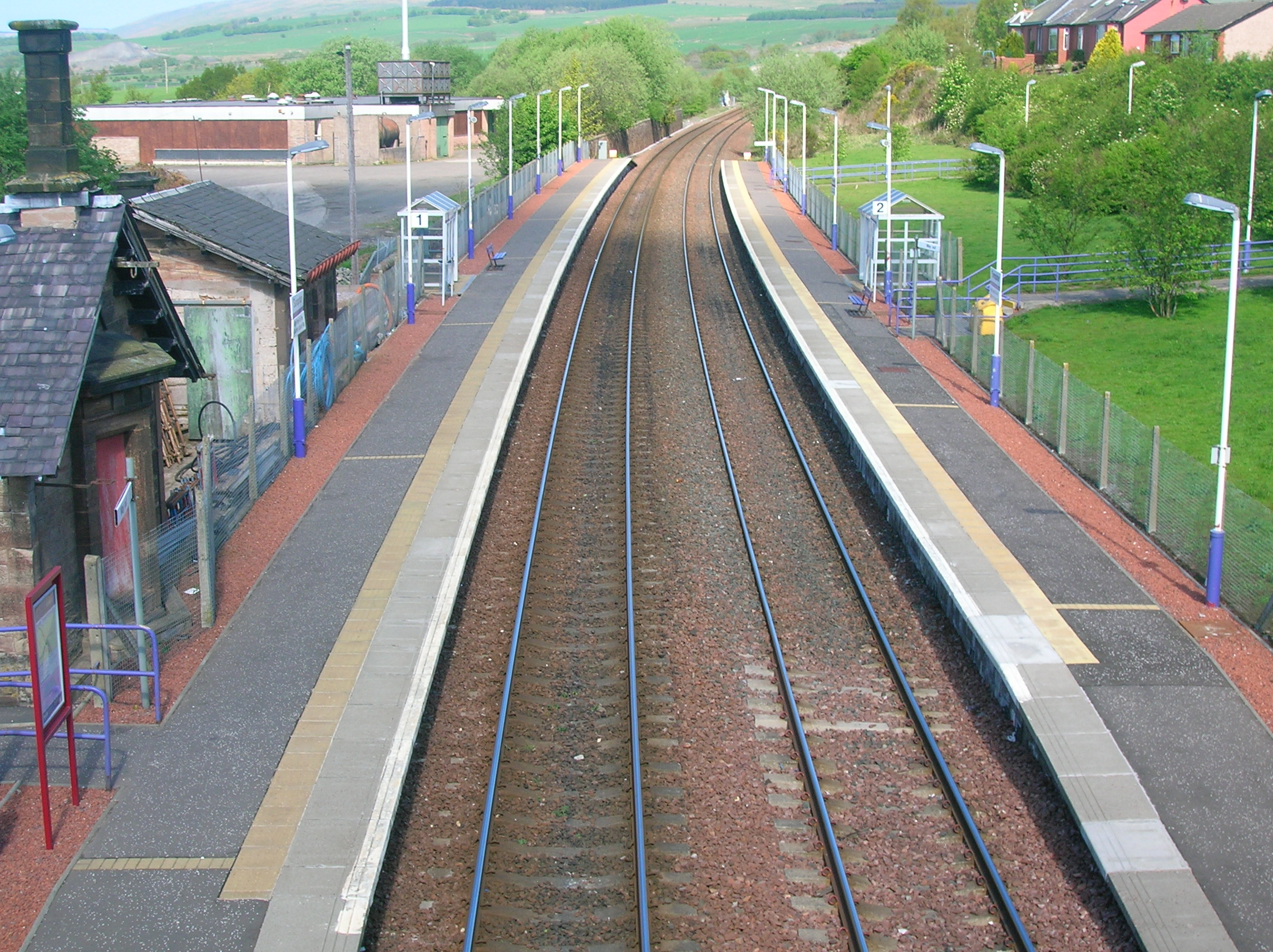
Sanquhar railway station
Sanquhar railway station is a railway station in the village of Sanquhar, Dumfries and Galloway, Scotland. The station is owned by Network Rail and managed...
Have you been to Jock's Ruck?
Leave your review of Jock's Ruck below (or comments, questions and feedback).