Bryn-y-Brain

Hill, Mountain in Montgomeryshire

Wales

Bryn-y-Brain

The road from Machynlleth to Llanidloes, near Pen y glog Described as a 'narrow mountain road' but still below 200 metres above sea level here.
The road from Machynlleth to Llanidloes, near Pen y glog Credit: Christine Johnstone

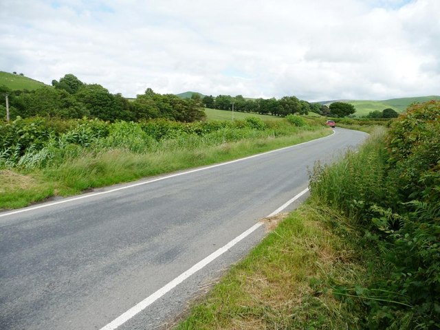
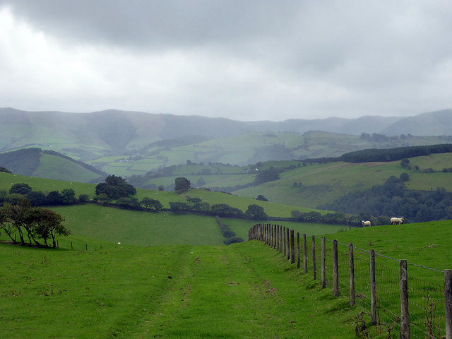
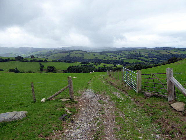
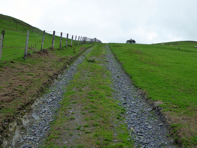
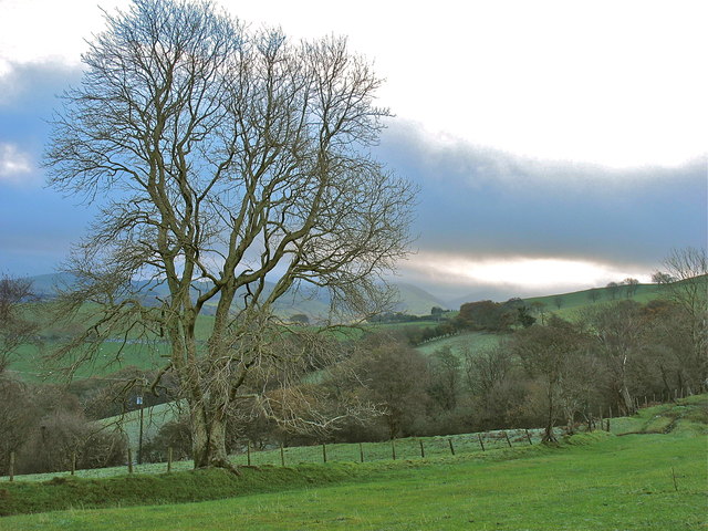
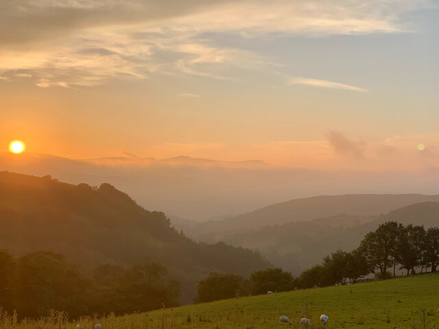
Bryn-y-Brain is a prominent hill/mountain located in the county of Montgomeryshire, Wales. Situated in the beautiful countryside, it offers breathtaking panoramic views of the surrounding landscape. The hill/mountain stands at an elevation of approximately 1,135 feet (346 meters) and is known for its distinctive shape and rugged terrain.

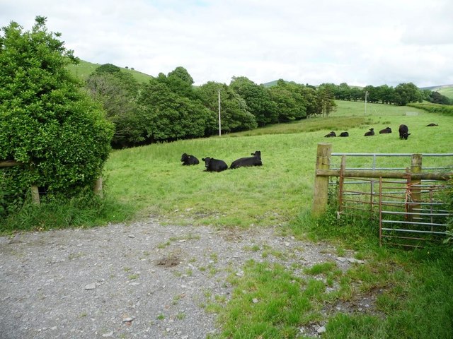
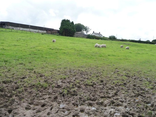
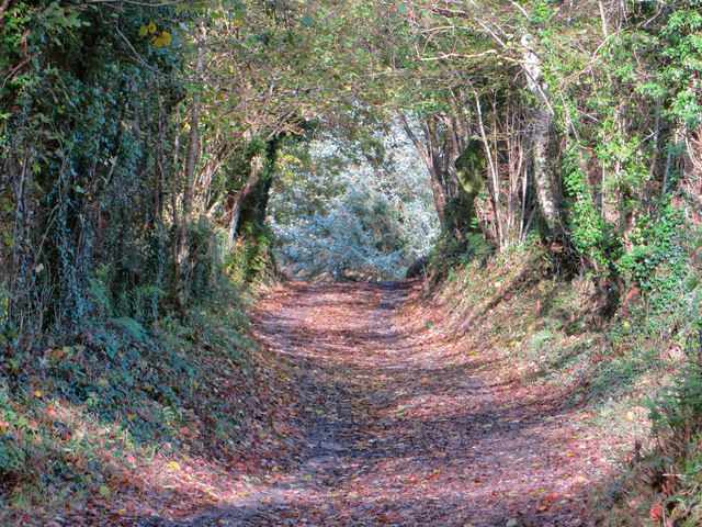
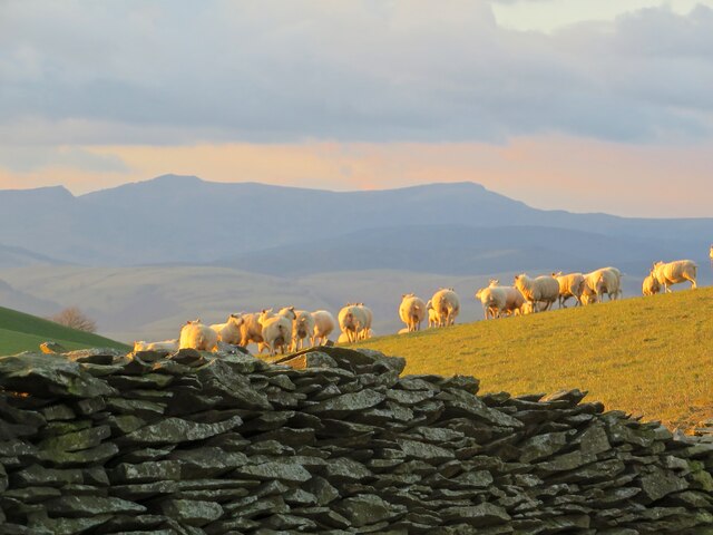
Bryn-y-Brain is a popular destination for hikers and nature enthusiasts due to its diverse range of flora and fauna. The hill/mountain is home to various species of birds, including buzzards and kestrels, which can often be seen soaring through the sky. Additionally, the area is adorned with a variety of wildflowers and shrubs, creating a vibrant and picturesque scene.

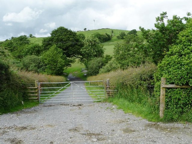
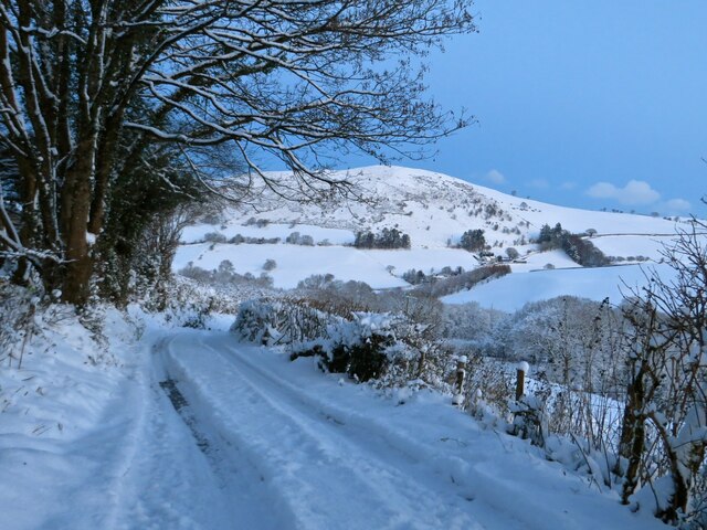
The hill/mountain is easily accessible and offers several walking trails, allowing visitors to explore its natural beauty. The paths cater to different levels of difficulty, making it suitable for both experienced hikers and casual walkers. Along the trails, there are informative signposts providing interesting facts about the local history and geography.

At the summit of Bryn-y-Brain, there is a viewpoint that offers unparalleled vistas of the Montgomeryshire countryside. On clear days, it is possible to see as far as the Snowdonia National Park and the Shropshire Hills.

Overall, Bryn-y-Brain is a captivating hill/mountain that showcases the stunning Welsh countryside. Its natural beauty, diverse wildlife, and magnificent views make it an excellent destination for outdoor enthusiasts and those seeking a peaceful retreat in nature.

If you have any feedback on the listing, please let us know in the comments section below.

Bryn-y-Brain Images

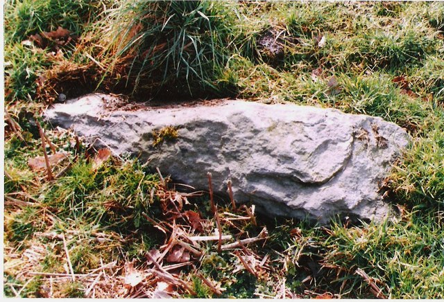
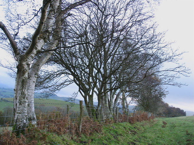
Images are sourced within 2km of 52.582284/-3.74715 or Grid Reference SN8199. Thanks to Geograph Open Source API. All images are credited.
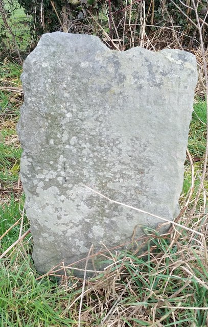
The road from Machynlleth to Llanidloes, near Pen y glog Described as a 'narrow mountain road' but still below 200 metres above sea level here.
The road from Machynlleth to Llanidloes, near Pen y glog
Described as a 'narrow mountain road' but still below 200 metres above sea level here.
Welsh black cattle grazing, east of Hendreron Uchaf On the north side of the road to Llanidloes.
Welsh black cattle grazing, east of Hendreron Uchaf
On the north side of the road to Llanidloes.
Private gated track to Llwyngronfa Dropping down to cross the valley of Nant y Gwennill.
Private gated track to Llwyngronfa
Dropping down to cross the valley of Nant y Gwennill.
Sheep pasture below Pen y glog The farm buildings are 210 metres above sea level.
Sheep pasture below Pen y glog
The farm buildings are 210 metres above sea level.
Milestone North side of road.
Milestone
North side of road.
Old Milestone near Penyglog, Cadfarch parish Milestone by the UC road, in parish of Cadfarch (Powys District), Penyglog, on verge.

Inscription once read:-
: (Machynlleth 5) : : (Llanidloes 15) :

Surveyed

Milestone Society National ID: MOT_LIMC14
Old Milestone near Penyglog, Cadfarch parish
Milestone by the UC road, in parish of Cadfarch (Powys District), Penyglog, on verge. Inscription once read:- : (Machynlleth 5) : : (Llanidloes 15) : Surveyed Milestone Society National ID: MOT_LIMC14
Llwybr ceffyl ar ochr Bryn y Brain Bridleway on the flank of Bryn y Brain.
Llwybr ceffyl ar ochr Bryn y Brain
Bridleway on the flank of Bryn y Brain.
Track leading down from Ffridd Wyllt towards Maesterran Farm Drizzle was falling here and there appeared to be heavier rain in the valley below. The farm track here somehow gave the impression of being of some antiquity and that proved to be the case as it is shown on the 1887 map. It is now a right of way down to Maesterran Farm and beyond.
Track leading down from Ffridd Wyllt towards Maesterran Farm
Drizzle was falling here and there appeared to be heavier rain in the valley below. The farm track here somehow gave the impression of being of some antiquity and that proved to be the case as it is shown on the 1887 map. It is now a right of way down to Maesterran Farm and beyond.
Open gate on the track down to Maesterran Farm
Ancient roadway above Maesterran Farm Also a right of way.
Ancient roadway above Maesterran Farm
Also a right of way.
Maen Llwyd / Carreg y Noddfa 'Sanctuary stone', standing on farmland at Rhôs Dyrnog [n.b. not 'Drynog' as per Ordnance Survey]
Maen Llwyd / Carreg y Noddfa
'Sanctuary stone', standing on farmland at Rhôs Dyrnog [n.b. not 'Drynog' as per Ordnance Survey]
Hen wtra / Old lane Lôn hynafol rhwng Tal-y-Wern a Darowen / Ancient lane between Tal-y-Wern and Darowen.
Hen wtra / Old lane
Lôn hynafol rhwng Tal-y-Wern a Darowen / Ancient lane between Tal-y-Wern and Darowen.
Onnen / Ash On the bridleway by Bryn y Brain.
Onnen / Ash
On the bridleway by Bryn y Brain.
Distant view towards Cadair Idris at sunset From the public bridleway on Bryn-y-Brain, the summer sunset view towards Cadair Idris, approximately 15 miles away.
Distant view towards Cadair Idris at sunset
From the public bridleway on Bryn-y-Brain, the summer sunset view towards Cadair Idris, approximately 15 miles away.
Across Nant Gwydol September sunrise over the cattle at Rhos Dyrnog
Across Nant Gwydol
September sunrise over the cattle at Rhos Dyrnog
Golygfa tuag at Cadair Idris From the bridleway on Bryn-y-Brain, a view across the old stone wall and a flock of sheep towards Cadair Idris.
Golygfa tuag at Cadair Idris
From the bridleway on Bryn-y-Brain, a view across the old stone wall and a flock of sheep towards Cadair Idris.
Hen wal yr yr eira An old boundary wall on the side of Bryn-y-Brain, as the snow begins.
Hen wal yr yr eira
An old boundary wall on the side of Bryn-y-Brain, as the snow begins.
Lôn o dan Rhiw Goch Looking down the steep lane to Tal-y-Wern, with Fron Goch rising behind.
Lôn o dan Rhiw Goch
Looking down the steep lane to Tal-y-Wern, with Fron Goch rising behind.
Show me another place!

Bryn-y-Brain is located at Grid Ref: SN8199 (Lat: 52.582284, Lng: -3.74715)

Unitary Authority: Powys

Police Authority: Dyfed Powys

What 3 Words

///treaty.dorms.round. Near Machynlleth, Powys

Nearby Locations

Bryn-y-Brain

Related Wikis

Abercegir

Abercegir () is a small rural village in Powys, Wales. It lies approximately 4 miles east of the town of Machynlleth and is 81 miles (131 km) from Cardiff...

Aberhosan

Aberhosan () is a village in the Welsh principal area of Powys, located between the town of Machynlleth and village of Dylife. It is in the historic county...

Abergwydol

Abergwydol () is a village in the Welsh principal area of Powys located on the A489 road between Cemmaes Road and Penegoes. It is part of the community...

Penegoes

Penegoes () is a village in Powys, Wales, between Cemmaes Road and Machynlleth, on the A489 road, and the primary settlement of the community of Cadfarch...

Commins Coch

Commins Coch is a small village on the A470 in the county of Powys in Wales. It is part of the Glantwymyn community. Commins Coch is notable for the narrow...

Afon Ceirig

The Afon Ceirig is a small river in Mid Wales. It flows from Esgair Llewelyn in the middle of the Dyfi Hills down to Mathafarn, north-west of Cemmaes Road...

Commins Coch Halt railway station

Commins Coch Halt railway station was a station in Commins Coch, Powys, Wales. The station opened on 19 October 1931 and closed on 14 June 1965. The halt...

Cemmes Road railway station

Cemmes Road was a railway station on the Newtown and Machynlleth Railway (N&MR) in Mid-Wales, serving the village of Cemmaes Road. The N&MR passed through...

Nearby Amenities

Located within 500m of 52.582284,-3.74715
Ford: yes
Lat/Long: 52.5793324/-3.7526947
The data included in this document is from www.openstreetmap.org. The data is made available under ODbL.

Have you been to Bryn-y-Brain?

Leave your review of Bryn-y-Brain below (or comments, questions and feedback).