Banc yr Ŵyn
Hill, Mountain in Cardiganshire
Wales
Banc yr Ŵyn

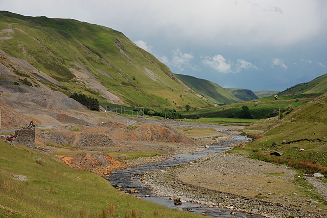
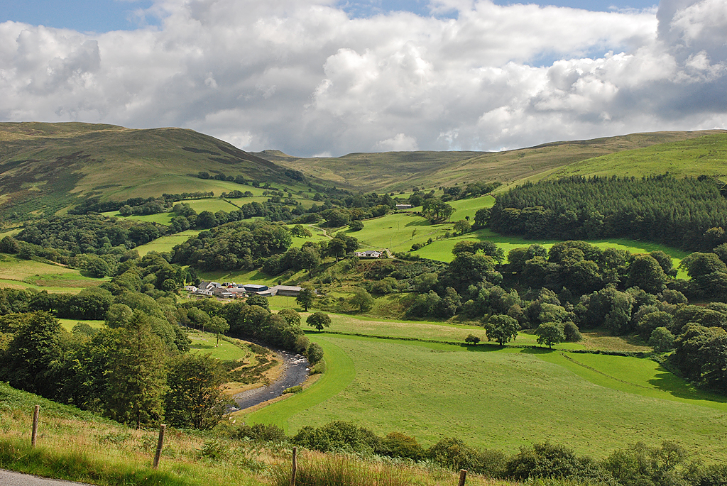
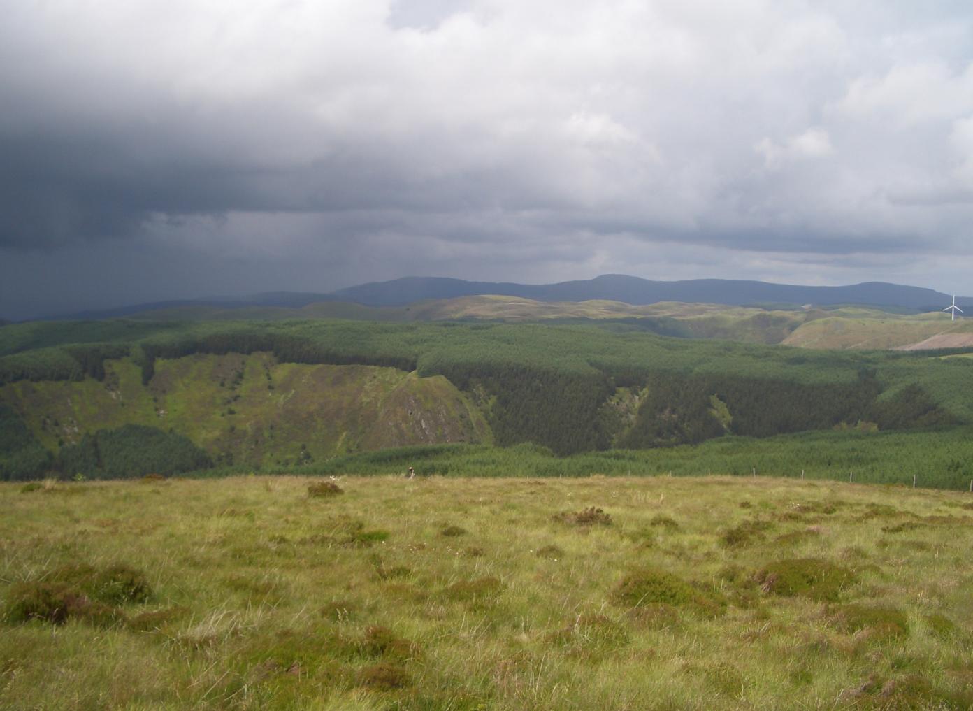
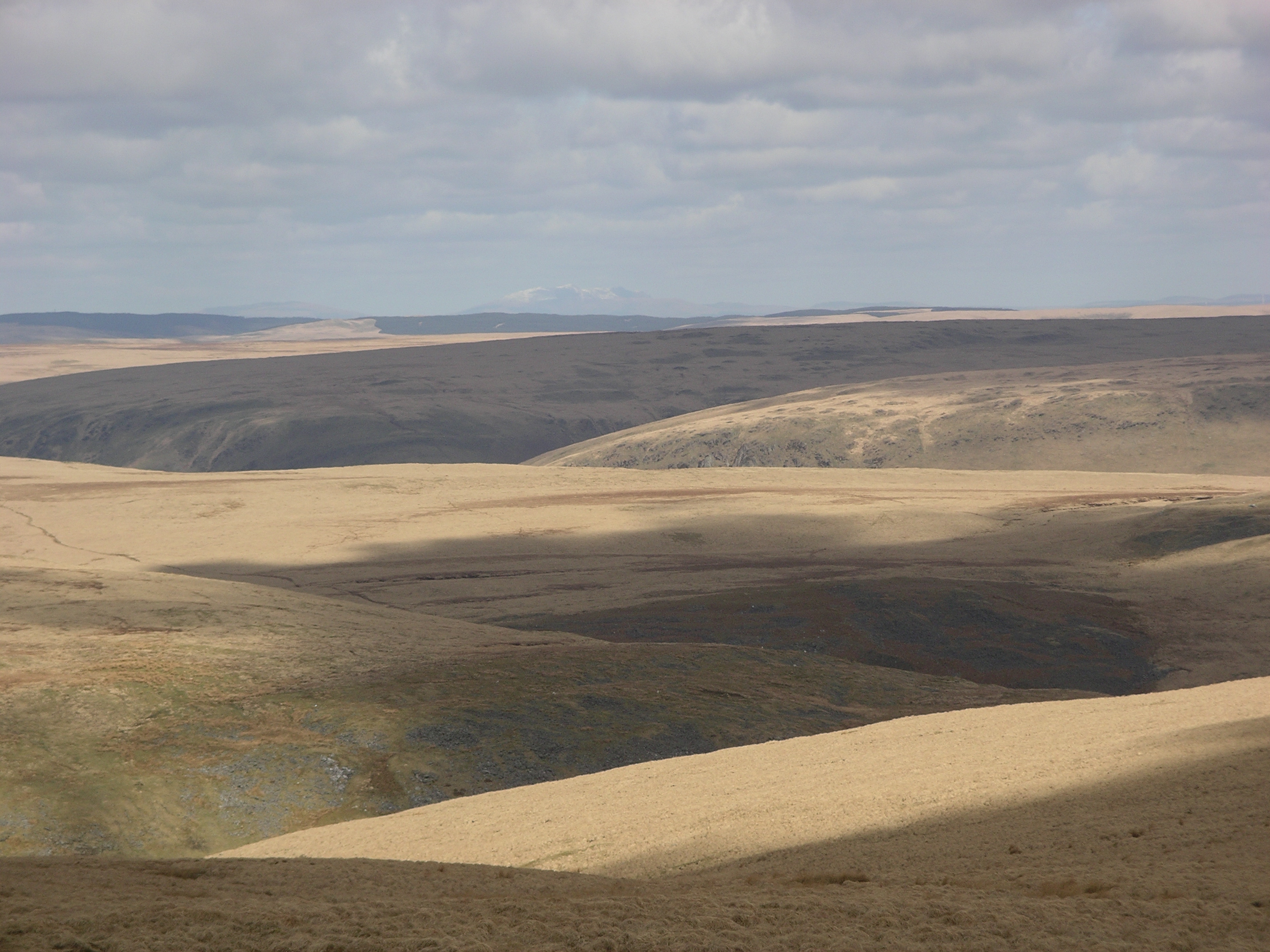
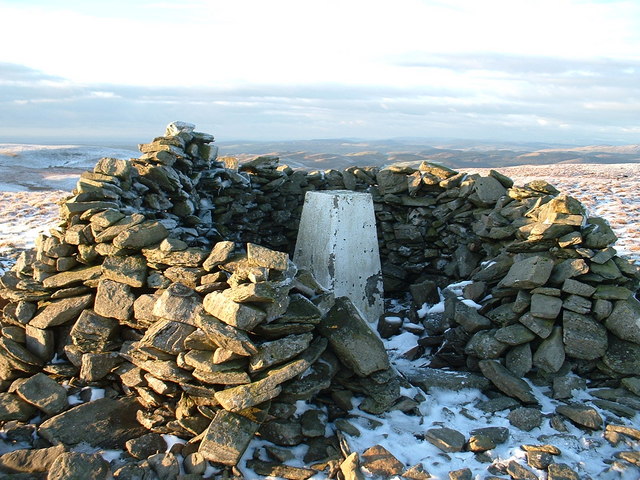
Banc yr Ŵyn is a prominent hill located in the county of Cardiganshire, Wales. It is situated in the rugged and picturesque landscape of the Cambrian Mountains, which stretch across central Wales. Standing at an elevation of approximately 1,480 feet (450 meters), Banc yr Ŵyn offers stunning panoramic views of the surrounding area.
The hill is characterized by its gently sloping grassy terrain, which transitions into steeper inclines towards its summit. It is primarily composed of sedimentary rocks, including sandstone and slate, which give it a unique and distinctive appearance. The hill is also home to a variety of plant and animal species, including heather, bilberry, and mountain sheep.
Banc yr Ŵyn is a popular destination for outdoor enthusiasts, particularly hikers and nature lovers. Numerous walking trails lead to the summit, allowing visitors to experience the breathtaking vistas and natural beauty of the area. On clear days, it is possible to see as far as the Cardigan Bay coastline and the rolling hills of mid-Wales.
In addition to its natural attractions, Banc yr Ŵyn holds historical significance. The hill is believed to have been used as a defensive site during ancient times, with remnants of Iron Age hillforts found in the vicinity. These archaeological features add an extra layer of intrigue and interest to the area.
Overall, Banc yr Ŵyn offers a perfect blend of natural beauty, recreational opportunities, and cultural heritage. It serves as a testament to the enchanting landscape and rich history of Cardiganshire, making it a must-visit destination for those exploring the region.
If you have any feedback on the listing, please let us know in the comments section below.
Banc yr Ŵyn Images
Images are sourced within 2km of 52.348236/-3.738139 or Grid Reference SN8173. Thanks to Geograph Open Source API. All images are credited.


Banc yr Ŵyn is located at Grid Ref: SN8173 (Lat: 52.348236, Lng: -3.738139)
Unitary Authority: Ceredigion
Police Authority: Dyfed Powys
What 3 Words
///deprive.unite.empire. Near Cwmystwyth, Ceredigion
Nearby Locations
Related Wikis

Mwyngloddfa Cwmystwyth
Mwyngloddfa Cwmystwyth is a Site of Special Scientific Interest in Ceredigion, west Wales. It comprises old mine workings located in the upper Ystwyth...

Banc Tynddol sun-disc
The Banc Tynddol sun-disc (Welsh: Disc Haul Banc Tynddol) is a small, decorated, gold ornament discovered at Cwmystwyth, Ceredigion, Wales. It most likely...
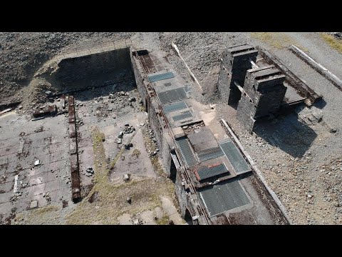
Cwmystwyth Mines
Cwmystwyth mines are located in Cwmystwyth, Ceredigion, Wales and exploited a part of the Central Wales Orefield. Cwm Ystwyth is a scheduled monument,...

Elenydd
Elenydd (Welsh: [ɛˈlɛnɨð]) is an upland area of Mid Wales, extending across parts of northern and eastern Ceredigion and Powys between Aberystwyth and...
Cwmystwyth
Cwmystwyth (also Cwm Ystwyth, Welsh pronunciation: [kʊmˈəstʊɨθ]; English: "valley of the River Ystwyth") is a village in Ceredigion, Wales near Devil's...
Pen y Garn
Pen y Garn is a mountain in the Cambrian Mountains, Mid Wales standing at 611 metres above sea level. Pen y Garn tops a 500–600 m high plateau, which includes...
Desert of Wales
The Desert of Wales, or Green Desert of Wales, is an archaic term for an area in central Wales, so called for its lack of roads and towns, and its inaccessibility...
Llan Ddu Fawr
Llan Ddu Fawr or Waun Claerddu is a hill located in Ceredigion, Wales, at 594 metres (1,949 ft) above sea level. It is located about 10 miles south of...
Related Videos
Cwmystwyth Lead Mine Workings. September 2021
Monday 6th September on the way to our holiday. Found this going by and stopped. Photos at 1:14 until the end. Cwm Ystwyth is ...
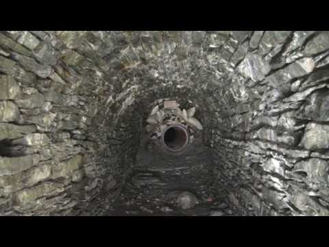
Exploring The Cwm Ystwyth Lead Mines
An explore of the Cwm Ystwyth Lead Mines, inside and out. Enjoy the picturesque valley views, the mining miracles, and dramatic ...
Nearby Amenities
Located within 500m of 52.348236,-3.738139Have you been to Banc yr Ŵyn?
Leave your review of Banc yr Ŵyn below (or comments, questions and feedback).