Brooklands Hill

Hill, Mountain in Kirkcudbrightshire

Scotland

Brooklands Hill

Curious walling close to Brooklands The high wall to the right of the road (A712), west of Crocketford is unusual. It has three sections, all crenellated with the centre one being taller than the others. The part nearest to the camera has a small, now roofless building incorporated into the rear. The structure stands opposite to the entrance to the property at Brooklands.
A possible folly?
Curious walling close to Brooklands Credit: Trevor Littlewood

The requested URL returned error: 429 Too Many Requests

If you have any feedback on the listing, please let us know in the comments section below.

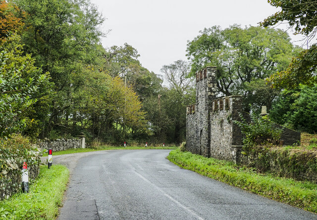
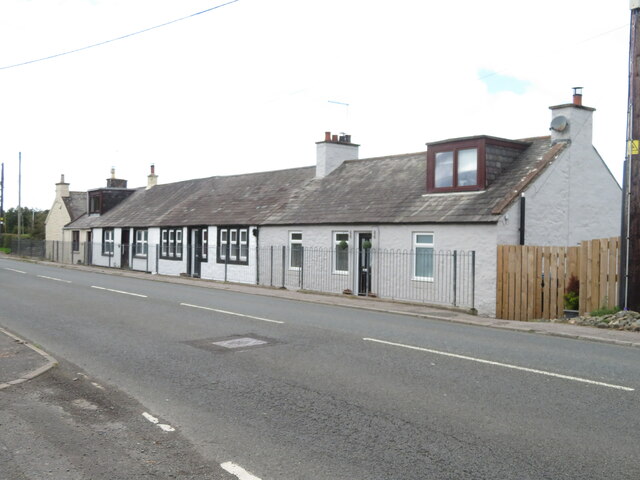
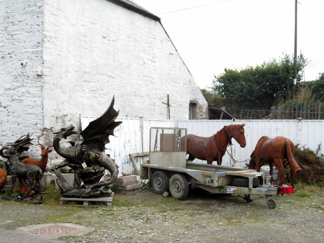
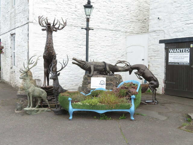
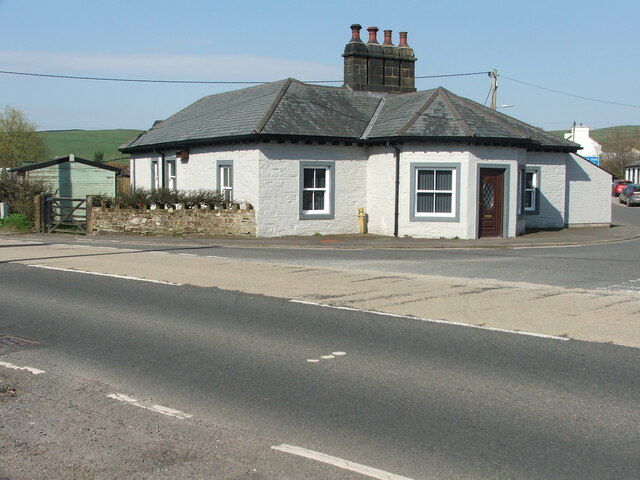
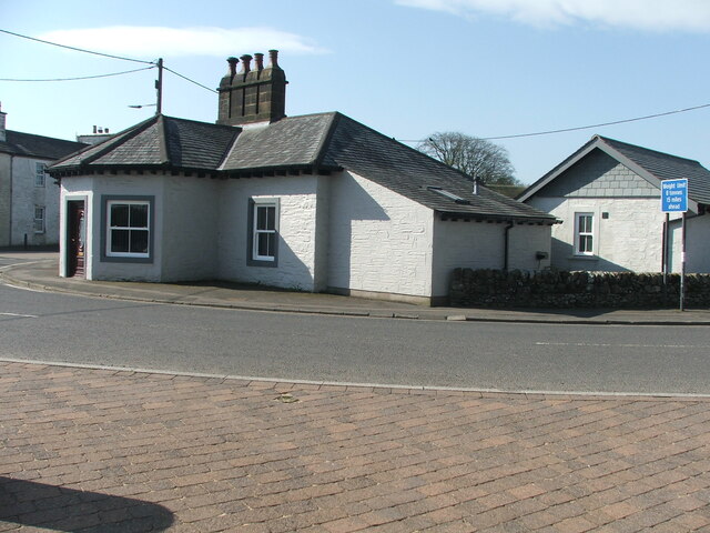
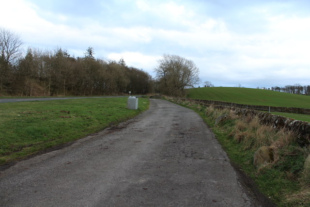
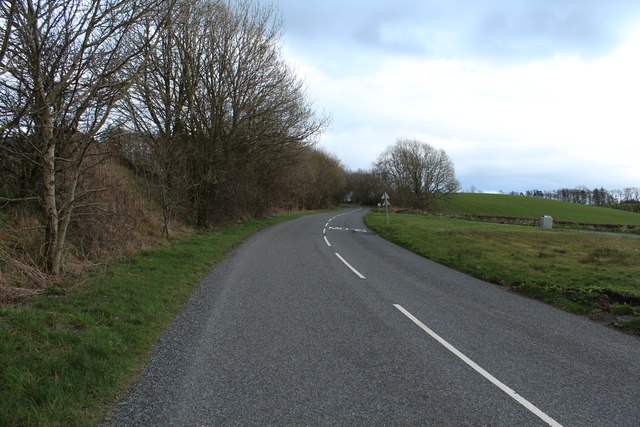
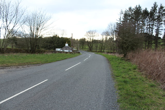
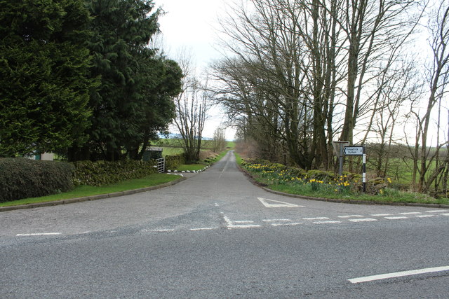
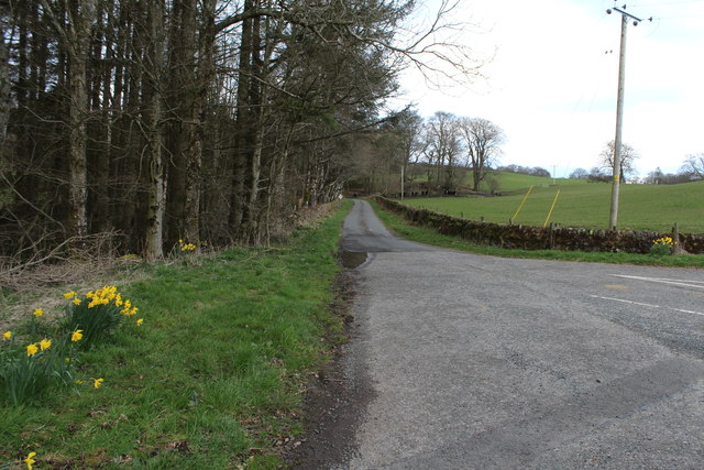
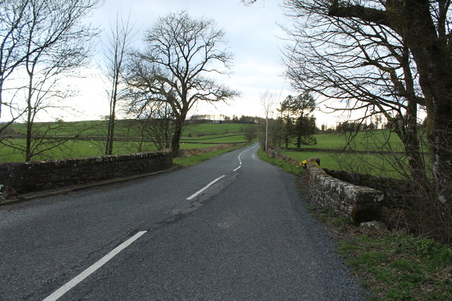
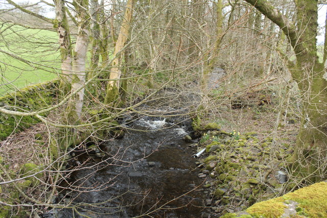
Brooklands Hill Images

Images are sourced within 2km of 55.043861/-3.8569019 or Grid Reference NX8173. Thanks to Geograph Open Source API. All images are credited.

Curious walling close to Brooklands The high wall to the right of the road (A712), west of Crocketford is unusual. It has three sections, all crenellated with the centre one being taller than the others. The part nearest to the camera has a small, now roofless building incorporated into the rear. The structure stands opposite to the entrance to the property at Brooklands.
A possible folly?
Curious walling close to Brooklands
The high wall to the right of the road (A712), west of Crocketford is unusual. It has three sections, all crenellated with the centre one being taller than the others. The part nearest to the camera has a small, now roofless building incorporated into the rear. The structure stands opposite to the entrance to the property at Brooklands. A possible folly?
Covenanters' Monument The Covenanters' Monument on Bads Knowe.
This photo was taken on the 10th.September,2022.
Covenanters' Monument
The Covenanters' Monument on Bads Knowe. This photo was taken on the 10th.September,2022.
Covenanters' Grave The Covenanters' grave near Bads Knowe.
This photo was taken on the 10th September 2022.
Covenanters' Grave
The Covenanters' grave near Bads Knowe. This photo was taken on the 10th September 2022.
A row of cottages on the A75 At the western end of Crocketford or Ninemile Bar. Known simply as Crocketford on the GB1900.org map. It is approximately equidistant between Castle Douglas and Dumfries.
A row of cottages on the A75
At the western end of Crocketford or Ninemile Bar. Known simply as Crocketford on the GB1900.org map. It is approximately equidistant between Castle Douglas and Dumfries.
Horses and a Dragon at Brass Tacks Some fine life-like sculptures at Brass Tacks at Home, a supplier of upholstery services, garden ornaments, bronzes etc., etc.
Horses and a Dragon at Brass Tacks
Some fine life-like sculptures at Brass Tacks at Home, a supplier of upholstery services, garden ornaments, bronzes etc., etc.
Bronzes at Brass Tacks, Crocketford A range of life-like sculptures at Brass Tacks at Home, a supplier of upholstery services, garden ornaments, bronzes etc., etc.
Bronzes at Brass Tacks, Crocketford
A range of life-like sculptures at Brass Tacks at Home, a supplier of upholstery services, garden ornaments, bronzes etc., etc.
Old tollhouse A view across the A75 of the tollhouse at the A75/A712 junction in Crocketford/Nine Mile Bar.   An interesting feature is the central 4 stack chimneys.   The windows are 4 pane rectangular sash.
Old tollhouse
A view across the A75 of the tollhouse at the A75/A712 junction in Crocketford/Nine Mile Bar. An interesting feature is the central 4 stack chimneys. The windows are 4 pane rectangular sash.
Old tollhouse A view of Crocketford tollhouse across the A715.   The original building was designed by A Halliday of Dumfries in 1834 with additions in later years.
Old tollhouse
A view of Crocketford tollhouse across the A715. The original building was designed by A Halliday of Dumfries in 1834 with additions in later years.
Lay-by at Boglebridge Cottage
Lay-by at Boglebridge Cottage With view of Cottage.
Lay-by at Boglebridge Cottage
With view of Cottage.
A712 to Crocketford
A712 to Crocketford
A712 to Corsock Passing Boglebridge Cottage.
A712 to Corsock
Passing Boglebridge Cottage.
Road to Kirkpatrick Durham
Road to Crocketford at Boglebridge Cottage
Road up Brooklands Glen
Road to Corsock at Brooklands Bridge
Brooklands Burn
Brooklands Burn
Brooklands Burn
Brooklands Burn
Show me another place!

Brooklands Hill is located at Grid Ref: NX8173 (Lat: 55.043861, Lng: -3.8569019)

Unitary Authority: Dumfries and Galloway

Police Authority: Dumfries and Galloway

What 3 Words

///composes.prelude.cocktail. Near Castle Douglas, Dumfries & Galloway

Nearby Locations

Fairy Hill Brooklands Hill

Related Wikis

Crocketford

Crocketford (/ˈkrɒkɪtfɔːd/, also frequently /ˈkrɒkɪtfəd/) also known as Ninemile Bar (Scottish Gaelic: Ath Crogaid), as it is approximately equidistant...
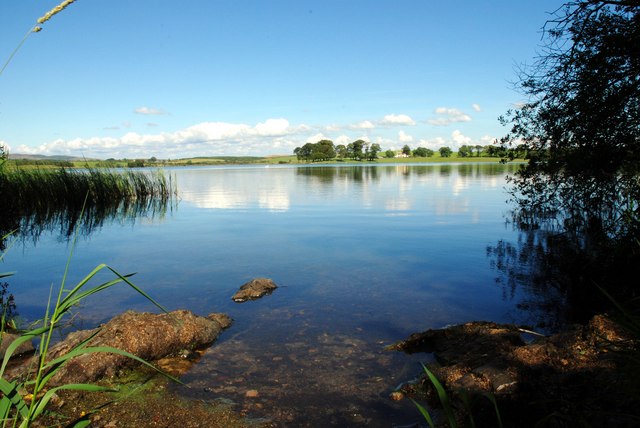
Milton Loch

Milton Loch is an alkaline freshwater loch located in Dumfries and Galloway, Scotland. In the loch and nearby are archaeological sites including three...

Springholm

Springholm is a village in the historical county of Kirkcudbrightshire in Dumfries and Galloway, Scotland. It is located 14 miles (23 km) west of Dumfries...

Kirkpatrick Durham

Kirkpatrick Durham (Scottish Gaelic: Cill Phàdraig) is a village and parish in the historical county of Kirkcudbrightshire, Dumfries and Galloway, south...

Nearby Amenities

Located within 500m of 55.043861,-3.8569019
Brooklands Hill
Ele: 243
Natural: peak
Source: os7
Lat/Long: 55.043301/-3.857537
The data included in this document is from www.openstreetmap.org. The data is made available under ODbL.

Have you been to Brooklands Hill?

Leave your review of Brooklands Hill below (or comments, questions and feedback).