An Suidhe
Hill, Mountain in Inverness-shire
Scotland
An Suidhe

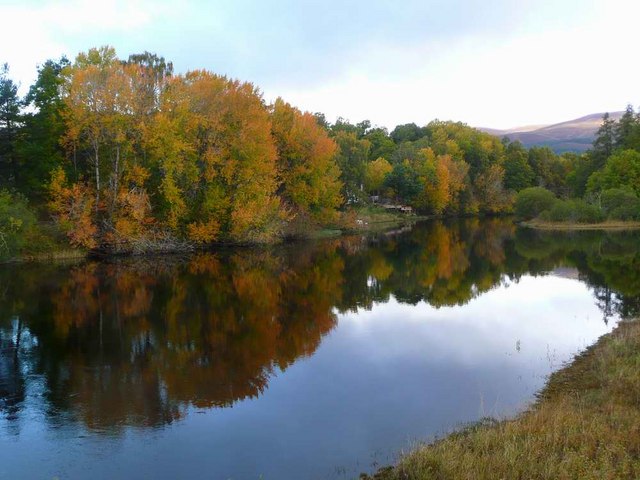
An Suidhe is a prominent hill located in Inverness-shire, Scotland. Standing at an elevation of 466 meters (1,529 feet), it offers stunning panoramic views of the surrounding landscapes, including nearby lochs and mountains.
The hill is a popular destination for hikers and outdoor enthusiasts, with well-marked trails leading to the summit. The terrain is rugged and challenging in some areas, but the effort is rewarded with breathtaking views at the top.
An Suidhe is known for its diverse flora and fauna, with heather, mosses, and wildflowers covering the slopes, and various bird species nesting in the rocky outcrops. It is also home to a variety of wildlife, including deer and rabbits.
The hill has a rich history, with ancient ruins and burial cairns scattered throughout the area, providing a glimpse into the past. Visitors can immerse themselves in the natural beauty and tranquility of An Suidhe while exploring its historical significance.
Overall, An Suidhe is a must-visit destination for those seeking a challenging hike, stunning views, and a glimpse into Scotland's rich history and natural beauty.
If you have any feedback on the listing, please let us know in the comments section below.
An Suidhe Images
Images are sourced within 2km of 57.139243/-3.96225 or Grid Reference NH8107. Thanks to Geograph Open Source API. All images are credited.


An Suidhe is located at Grid Ref: NH8107 (Lat: 57.139243, Lng: -3.96225)
Unitary Authority: Highland
Police Authority: Highlands and Islands
What 3 Words
///worldwide.cabbages.bends. Near Kingussie, Highland
Nearby Locations
Related Wikis
Kincraig
Kincraig (Scottish Gaelic: Ceann na Creige) is a village located north of Kingussie and south of Aviemore in Highland, Scotland. Its original name was...
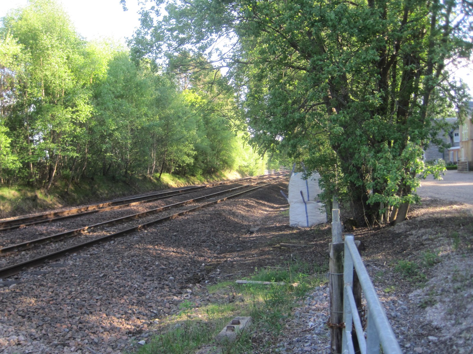
Kincraig railway station
Kincraig railway station served the village of Kincraig, Highland, Scotland from 1863 to 1965 on the Inverness and Perth Junction Railway. == History... ==

Dunachton
Dunachton (Scottish Gaelic: Dùn Neachdain) is an estate on the north-west shore of Loch Insh in Badenoch and Strathspey, in the Highlands of Scotland....

River Feshie
The River Feshie (Scottish Gaelic: Fèisidh / Abhainn Fhèisidh) is a major right bank tributary of the River Spey in north-east Scotland. It rises in the...
Nearby Amenities
Located within 500m of 57.139243,-3.96225Have you been to An Suidhe?
Leave your review of An Suidhe below (or comments, questions and feedback).