Barn Hill
Hill, Mountain in Kirkcudbrightshire
Scotland
Barn Hill

Barn Hill, located in the county of Kirkcudbrightshire, is a prominent hill/mountain situated in the southern part of Scotland. Standing at an elevation of approximately 323 meters (1,060 feet), it offers breathtaking panoramic views of the surrounding countryside and the nearby coastline.
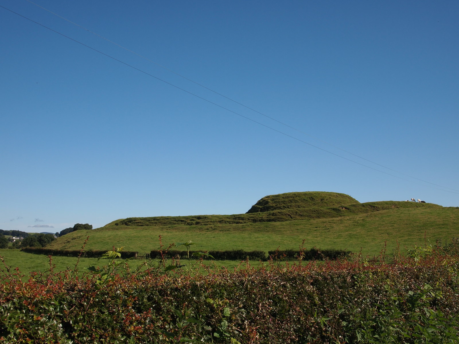
This natural landmark is characterized by its gently sloping terrain, covered in a mix of grasses, heather, and scattered shrubs. The hill's topography is relatively smooth, with a few rocky outcrops adding interest to the landscape. Its geology consists mainly of sedimentary rocks, including sandstone and shale, which were formed during the Carboniferous period.
Barn Hill is a popular destination for hikers and nature enthusiasts, attracting visitors from both the local area and beyond. Several well-maintained walking trails traverse the hill, providing opportunities for leisurely strolls or more challenging hikes. The paths are often surrounded by a variety of flora and fauna, including wildflowers, birds, and small mammals.
Due to its elevated position, Barn Hill offers stunning vistas across the surrounding countryside. On clear days, one can see as far as the Solway Firth and the Irish Sea, providing a picturesque backdrop for photographers and nature lovers alike.
Despite its relatively modest height, Barn Hill holds historical significance. It is believed to have been the site of an Iron Age hillfort, with remnants of defensive earthworks still visible today. These archaeological features add an extra layer of interest for those interested in the area's past.
Overall, Barn Hill in Kirkcudbrightshire is a beautiful and accessible natural landmark, offering a tranquil retreat for outdoor enthusiasts and a glimpse into the area's rich history.
If you have any feedback on the listing, please let us know in the comments section below.
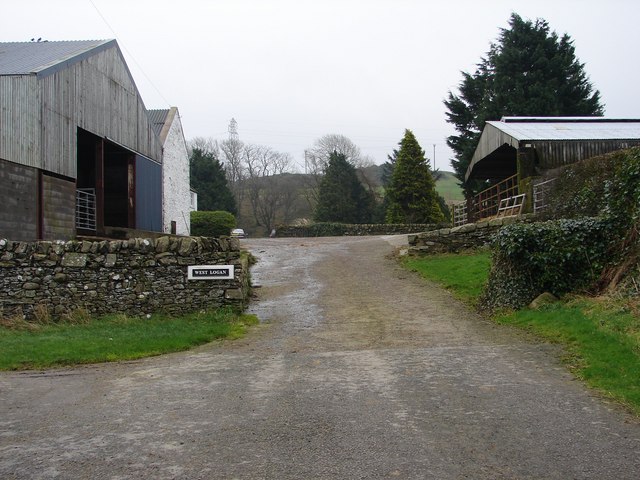
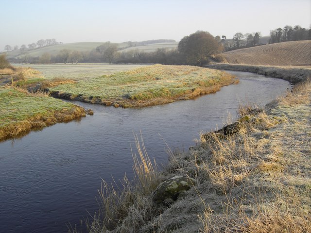
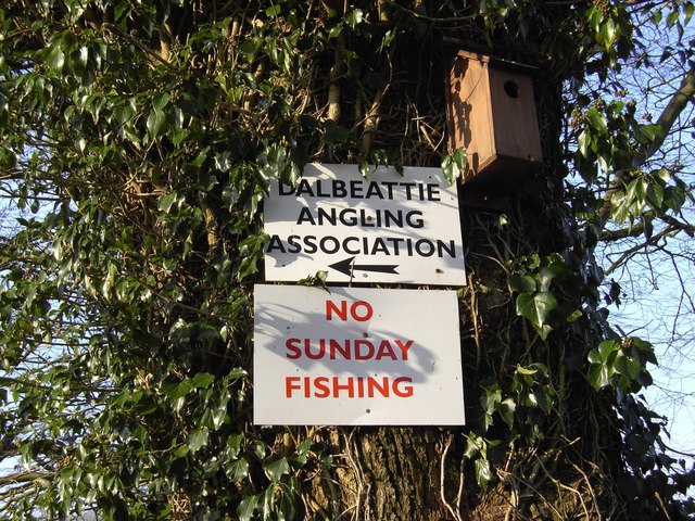
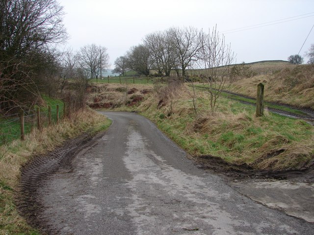
Barn Hill Images
Images are sourced within 2km of 54.962495/-3.8656578 or Grid Reference NX8064. Thanks to Geograph Open Source API. All images are credited.


Barn Hill is located at Grid Ref: NX8064 (Lat: 54.962495, Lng: -3.8656578)
Unitary Authority: Dumfries and Galloway
Police Authority: Dumfries and Galloway
What 3 Words
///snitch.youth.crumples. Near Dalbeattie, Dumfries & Galloway
Nearby Locations
Related Wikis
Buittle railway station
Buittle railway station, also known as Buittle Halt, Buittle Mill and Buittle Mill Halt, served the civil parish of Buittle, Dumfries and Galloway, Scotland...
Motte of Urr
The Motte of Urr is the remains of a 12th-century motte-and-bailey castle located near the Haugh of Urr in Dumfries and Galloway, Scotland. == History... ==

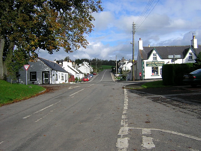
Haugh of Urr
Haugh of Urr (), is a village in the historical county of Kirkcudbrightshire in Dumfries and Galloway, Scotland. It is approximately 4 miles (6 kilometres...

Buittle
Buittle is an ecclesiastical and civil parish in Dumfries and Galloway, southwest Scotland, in the traditional county of Kirkcudbrightshire. It lies to...

A75 road
The A75 is a primary trunk road in Scotland, linking Stranraer and its ferry ports at Cairnryan with the A74(M) at Gretna, close to the border with England...

Buittle Castle
Buittle Castle, also known historically as Botle or Botel Castle, is a Motte and Bailey site in Galloway, south-west Scotland with significant early and...

Dalbeattie railway station
Dalbeattie railway station served the town of Dalbeattie, Dumfries and Galloway, Scotland from 1859 to 1965 on the Castle Douglas and Dumfries Railway...

Dalbeattie High School
Dalbeattie High School is a small rural secondary school on the edge of Dalbeattie in the historical county of Kirkcudbrightshire in the local council...
Related Videos

Austin Seven first run of 2022! 22 March FILE0354
Filmed at Haugh of Urr and Hardgate. Frugal travel mode at £1.67/litre.

Pilgrim Bulldog 1275cc evening run 25 August 2022
When this was bought several years ago was hankering for the ex Marina 1800 based version but with the cost of all energy going ...

Reliant Rialto estate POV first drive impressions 01 Dec 2022 FILE0048
This red Reliant Rialto estate, C513 FOP registered 01/08/1985, is the latest addition to the classic fleet. It was bought unseen ...
Nearby Amenities
Located within 500m of 54.962495,-3.8656578Have you been to Barn Hill?
Leave your review of Barn Hill below (or comments, questions and feedback).