Barr Dubh

Hill, Mountain in Perthshire

Scotland

Barr Dubh

Woodland above Strowan The northern slopes of Torlum.
Woodland above Strowan Credit: Richard Webb

Barr Dubh is a prominent hill located in the county of Perthshire, Scotland. Situated in the Southern Highlands, it offers stunning panoramic views of the surrounding countryside. Rising to an elevation of approximately 605 meters (1,985 feet), it is considered a significant landmark in the area.

The hill is widely known for its distinctive shape, with a conical summit and steep slopes covered in heather and grasses. It is part of the larger range known as the Drumochter Hills, which is a popular destination for hillwalking and hiking enthusiasts.

Barr Dubh is accessible via various routes, with the most common starting point being the A9 road. From there, walkers can follow well-defined paths that gradually ascend the hillside. The ascent can be challenging in parts, but the reward is well worth it, as the summit offers breathtaking views of the surrounding countryside, including the nearby Cairngorm Mountains.

The hill is also known for its rich biodiversity, with various plant species and wildlife inhabiting its slopes. It provides a habitat for birds such as golden eagles, peregrine falcons, and red grouse, making it a popular spot for birdwatching.

In addition to its natural beauty, Barr Dubh has historical significance as well. It is believed to have been used as a hunting ground by ancient inhabitants of the area, and traces of their presence can still be found in the form of old ruins and stone circles.

Overall, Barr Dubh is a captivating hill in Perthshire, offering both natural beauty and historical intrigue to visitors and locals alike.

If you have any feedback on the listing, please let us know in the comments section below.
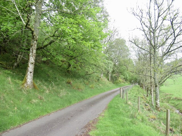
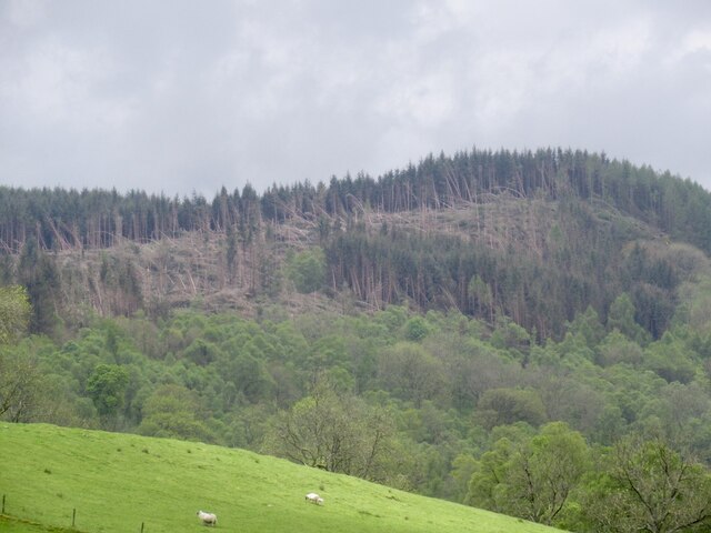
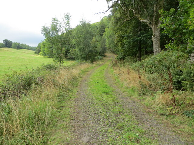
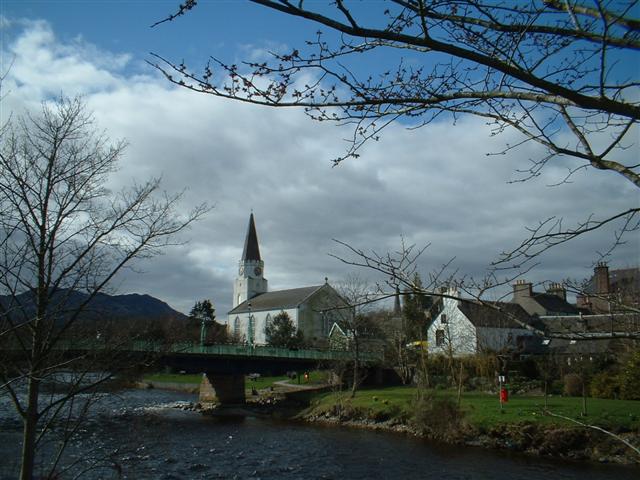
Barr Dubh Images

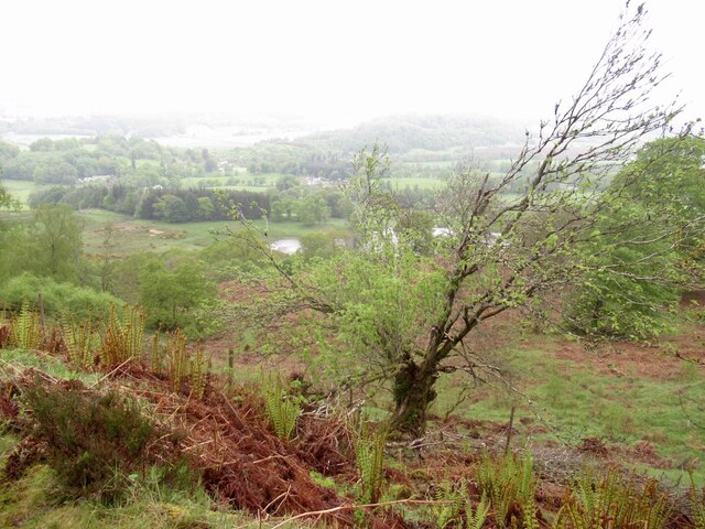
Images are sourced within 2km of 56.353598/-3.9336129 or Grid Reference NN8019. Thanks to Geograph Open Source API. All images are credited.
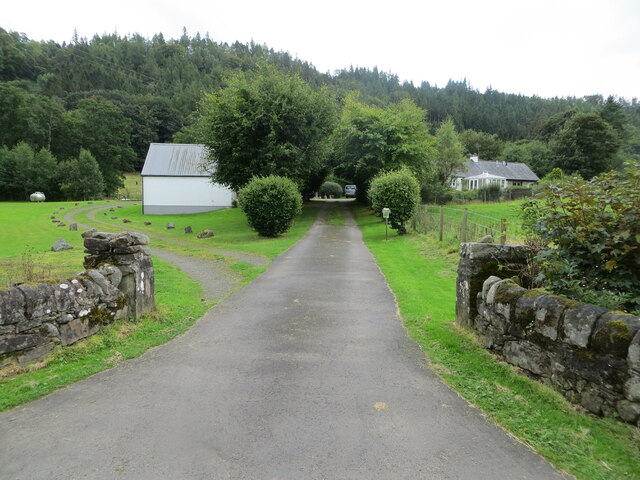
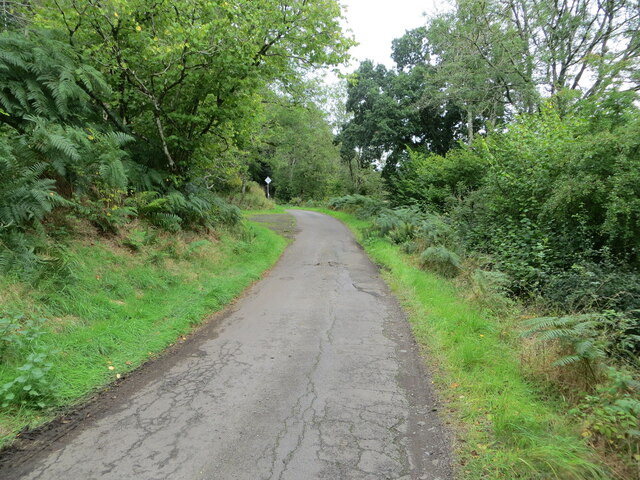
Woodland above Strowan The northern slopes of Torlum.
Woodland above Strowan
The northern slopes of Torlum.
Road below Torlum The road has been here long before the television relay mast. Presumably the mast is the reason for the Armco.
Road below Torlum
The road has been here long before the television relay mast. Presumably the mast is the reason for the Armco.
Woodland above Strowan South of the road here is a dense plantation, but the downhill side is a glorious light woodland with numerous young trees.
Woodland above Strowan
South of the road here is a dense plantation, but the downhill side is a glorious light woodland with numerous young trees.
Field, Glascorrie Amongst the conifer plantations.
Field, Glascorrie
Amongst the conifer plantations.
Road, Glascorrie Beneath the young trees in Newburgh Wood.
Road, Glascorrie
Beneath the young trees in Newburgh Wood.
Field, Glentarf The Auchingarrich woodlands in the background have suffered a lot of wind damage.
Field, Glentarf
The Auchingarrich woodlands in the background have suffered a lot of wind damage.
Windthrow, Auchingarrich Probably flattened by the storm on 26th November 2021.
Windthrow, Auchingarrich
Probably flattened by the storm on 26th November 2021.
Field, Glentarf Much of the area is under conifer plantations like the one in the background.
Field, Glentarf
Much of the area is under conifer plantations like the one in the background.
Track giving access to Balnalt and Norctoft Looking southward.
Track giving access to Balnalt and Norctoft
Looking southward.
Access to and parking at Strowan Woodland Cemetery Looking north-eastward.
[More details for the cemetery can be found at : <span class="nowrap"><a title="http://www.ecoburial.me/" rel="nofollow ugc noopener" href="http://www.ecoburial.me/">Link</a><img style="margin-left:2px;" alt="External link" title="External link - shift click to open in new window" src="https://s1.geograph.org.uk/img/external.png" width="10" height="10"/></span>]
Access to and parking at Strowan Woodland Cemetery
Looking north-eastward. [More details for the cemetery can be found at : LinkExternal link]
Track and path to Glentarf via Newburgh Wood Looking westward.
Track and path to Glentarf via Newburgh Wood
Looking westward.
Minor road with Passing Place near to Newburgh Cottage Looking north-eastward.
Minor road with Passing Place near to Newburgh Cottage
Looking north-eastward.
Minor road at Glentarf Looking north-eastward.
Minor road at Glentarf
Looking north-eastward.
Minor road at Auchingarrich Looking north-westward.
Minor road at Auchingarrich
Looking north-westward.
Ordnance Survey Bolt This bolt can be found on top of the parapet wall of Lennoch Burn Bridge near Balnat.
The recorded details give a height of 53.706 metres above sea level.
For more detail see : <span class="nowrap"><a title="https://www.bench-marks.org.uk/bm179764" rel="nofollow ugc noopener" href="https://www.bench-marks.org.uk/bm179764">Link</a><img style="margin-left:2px;" alt="External link" title="External link - shift click to open in new window" src="https://s1.geograph.org.uk/img/external.png" width="10" height="10"/></span>
Ordnance Survey Bolt
This bolt can be found on top of the parapet wall of Lennoch Burn Bridge near Balnat. The recorded details give a height of 53.706 metres above sea level. For more detail see : LinkExternal link
Ordnance Survey Cut Mark This mark can be found on the wall of a barn at Glentarf.
The recorded details give a height of 138.745 metres above sea level.
For more detail see : <span class="nowrap"><a title="https://www.bench-marks.org.uk/bm102655" rel="nofollow ugc noopener" href="https://www.bench-marks.org.uk/bm102655">Link</a><img style="margin-left:2px;" alt="External link" title="External link - shift click to open in new window" src="https://s1.geograph.org.uk/img/external.png" width="10" height="10"/></span>
Ordnance Survey Cut Mark
This mark can be found on the wall of a barn at Glentarf. The recorded details give a height of 138.745 metres above sea level. For more detail see : LinkExternal link
Ordnance Survey Cut Mark with Rivet This mark and rivet can be found on the top of the parapet wall of a bridge spanning Auchingarrich Burn,
The recorded details give a height of 112.2548 metres above sea level.
For more detail see : <span class="nowrap"><a title="https://www.bench-marks.org.uk/bm179765" rel="nofollow ugc noopener" href="https://www.bench-marks.org.uk/bm179765">Link</a><img style="margin-left:2px;" alt="External link" title="External link - shift click to open in new window" src="https://s1.geograph.org.uk/img/external.png" width="10" height="10"/></span>
Ordnance Survey Cut Mark with Rivet
This mark and rivet can be found on the top of the parapet wall of a bridge spanning Auchingarrich Burn, The recorded details give a height of 112.2548 metres above sea level. For more detail see : LinkExternal link
Minor road, Strowan
Minor road, Strowan
Show me another place!

Barr Dubh is located at Grid Ref: NN8019 (Lat: 56.353598, Lng: -3.9336129)

Unitary Authority: Perth and Kinross

Police Authority: Tayside

What 3 Words

///flute.landings.conspired. Near Comrie, Perth & Kinross

Nearby Locations

Barr Dubh

Related Wikis

Cultybraggan Camp

Cultybraggan Camp lies close to the village of Comrie, in west Perthshire, Scotland. It was first used as a prisoner of war (PoW) camp during World War...

1 Dunira Street

1 Dunira Street is an historic building in Comrie, Perth and Kinross, Scotland. It is a Category A listed building dating to 1904. Its architect was Charles...

Comrie, Perth and Kinross

Comrie (; Gaelic: Cuimridh; Pictish: Aberlednock; Latin: Victoria) is a village and parish in the southern Highlands of Scotland, towards the western end...
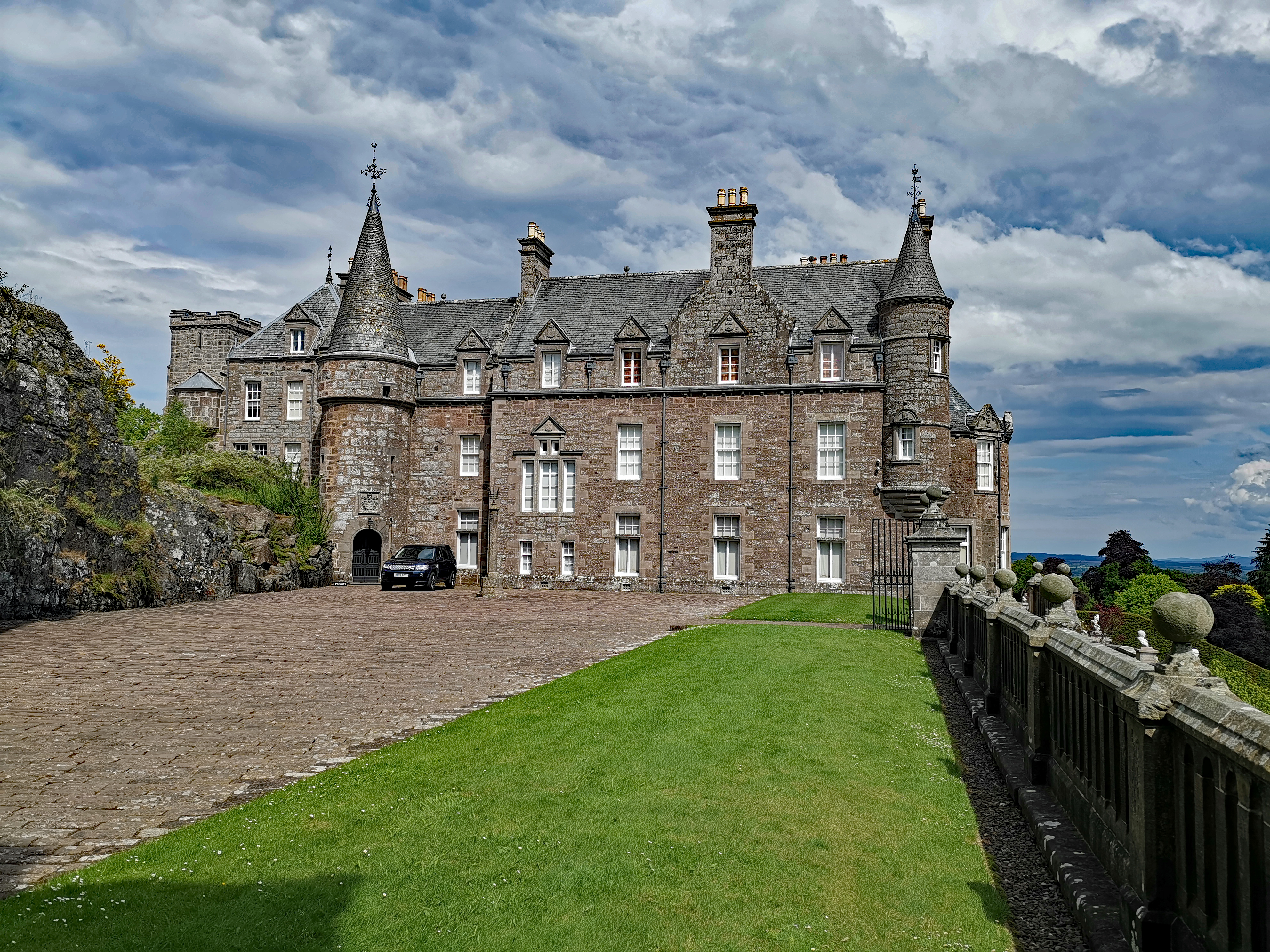
Drummond Castle

Drummond Castle is located in Perthshire, Scotland. The castle is known for its gardens, described by Historic Environment Scotland as "the best example...

Have you been to Barr Dubh?

Leave your review of Barr Dubh below (or comments, questions and feedback).