Banc-y-llyn
Hill, Mountain in Cardiganshire
Wales
Banc-y-llyn

The requested URL returned error: 429 Too Many Requests
If you have any feedback on the listing, please let us know in the comments section below.
Banc-y-llyn Images
Images are sourced within 2km of 52.272274/-3.7529878 or Grid Reference SN8065. Thanks to Geograph Open Source API. All images are credited.


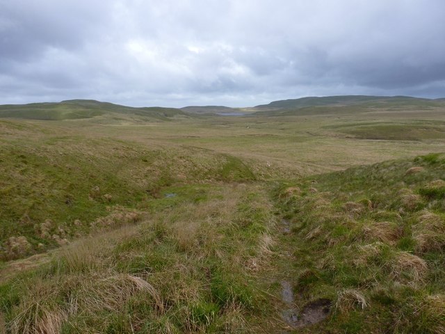

Banc-y-llyn is located at Grid Ref: SN8065 (Lat: 52.272274, Lng: -3.7529878)
Unitary Authority: Ceredigion
Police Authority: Dyfed Powys
What 3 Words
///clarifies.drives.portable. Near Cwmystwyth, Ceredigion
Nearby Locations
Related Wikis
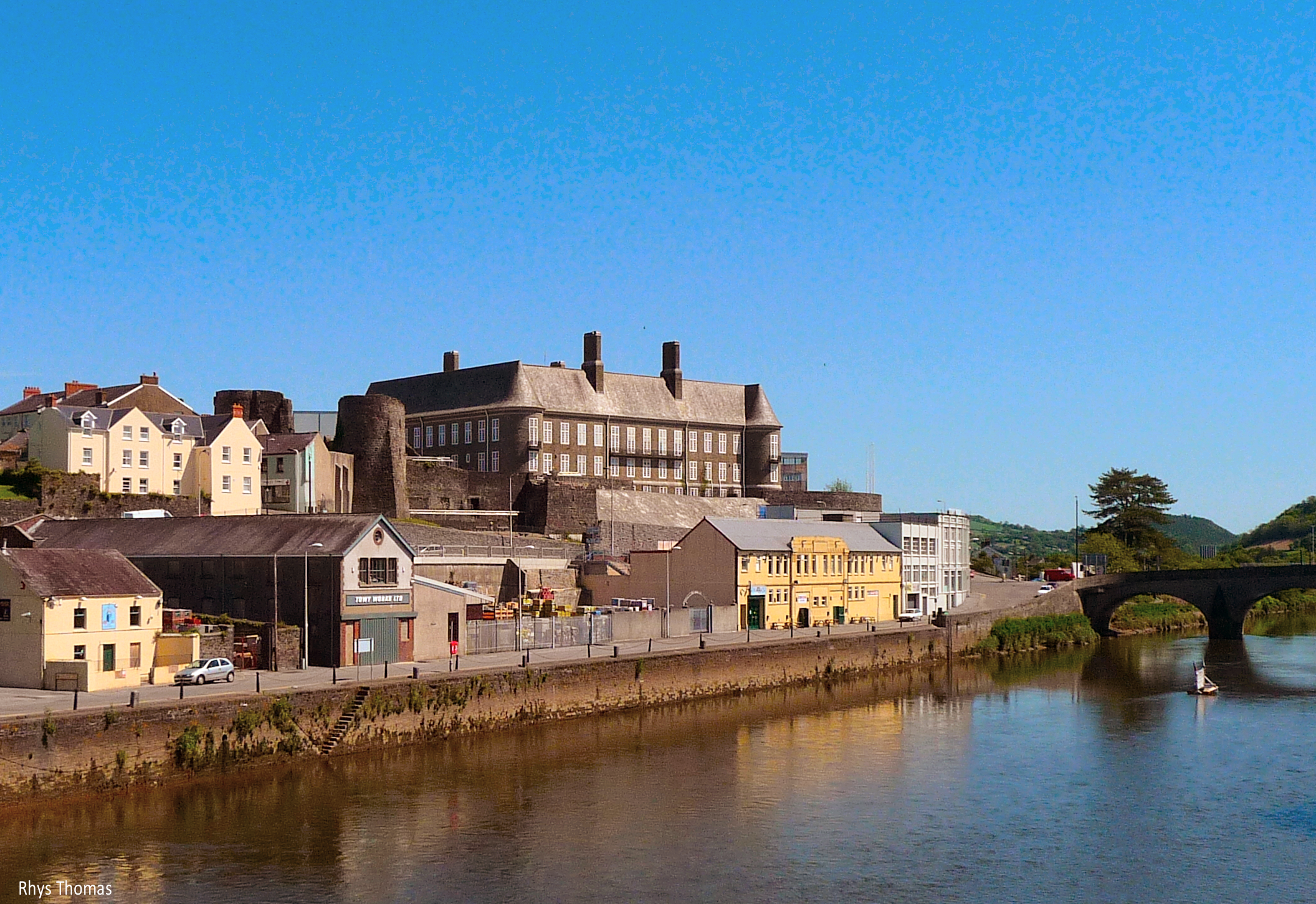
River Towy
The River Towy (Welsh: Afon Tywi, IPA: [ˈtəwɪ]; also known as the River Tywi) is one of the longest rivers flowing entirely within Wales. Its total length...

Claerwen
The Claerwen reservoir and dam in Powys, Wales, were the last additions to the Elan Valley Reservoirs system built to provide water for the increasing...
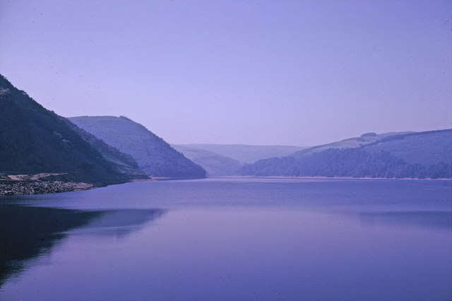
Elan Valley Reservoirs
The Elan Valley Reservoirs (Welsh: Cronfeydd Cwm Elan) are a chain of man-made lakes created from damming the Elan and Claerwen rivers within the Elan...

Wales
Wales (Welsh: Cymru [ˈkəm.rɨ] ) is a country that is part of the United Kingdom. It is bordered by England to the east, the Irish Sea to the north and...
Nearby Amenities
Located within 500m of 52.272274,-3.7529878Have you been to Banc-y-llyn?
Leave your review of Banc-y-llyn below (or comments, questions and feedback).