Corse Hill
Hill, Mountain in Stirlingshire
Scotland
Corse Hill
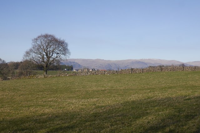
Corse Hill is a prominent hill located in Stirlingshire, Scotland. With an elevation of 462 meters (1,516 feet), it is considered a significant landmark in the area. Situated near the town of Falkirk, the hill offers stunning panoramic views of the surrounding countryside and the nearby Forth Valley.
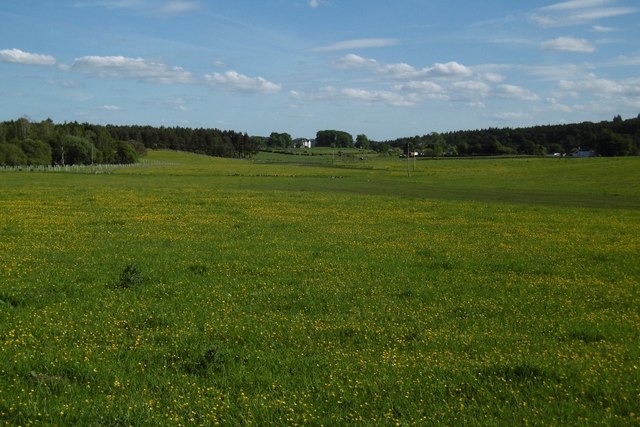
The hill is part of the larger Ochil Hills range, renowned for its natural beauty and diverse wildlife. Corse Hill itself is characterized by its distinctive conical shape, providing an attractive backdrop to the surrounding landscape. It is covered in heather, grasses, and scattered patches of woodland, creating a picturesque scene, especially during the blooming season.
Corse Hill is a popular destination for locals and tourists alike, offering various outdoor activities and recreational opportunities. Hiking and walking trails crisscross the hill, providing visitors with the chance to explore its natural wonders. The summit rewards hikers with breathtaking views of the Forth Valley, including the iconic Forth Bridge and the distant peaks of the Trossachs.
The hill also holds historical significance, with remnants of ancient settlements and burial sites discovered in the area. These archaeological findings add to the appeal of Corse Hill, attracting history enthusiasts and archaeology buffs.
Overall, Corse Hill in Stirlingshire is a captivating natural landmark, showcasing the diverse beauty of the Scottish countryside. Its accessibility, scenic trails, and historical significance make it an ideal destination for nature lovers, hikers, and those seeking a tranquil escape from the bustling city life.
If you have any feedback on the listing, please let us know in the comments section below.
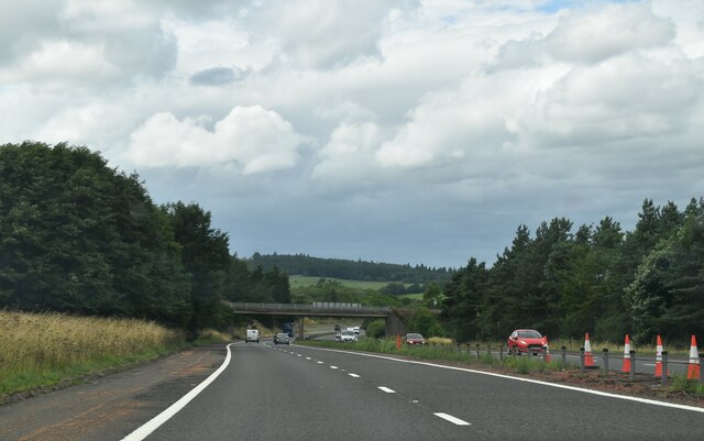
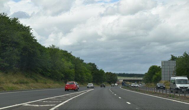
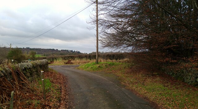
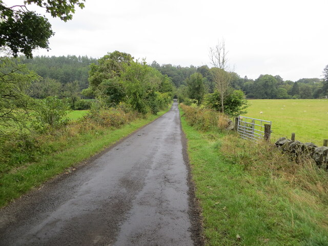
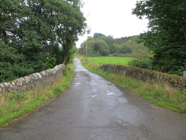
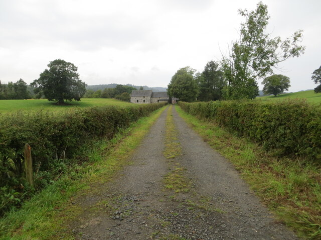
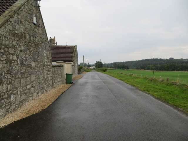
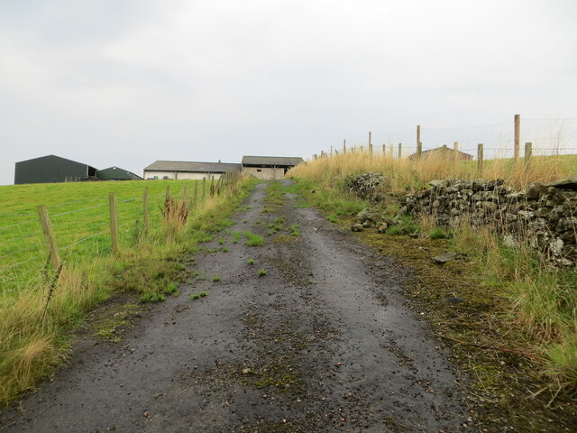
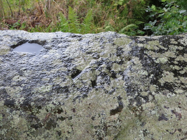
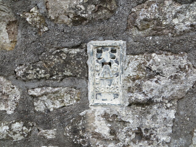
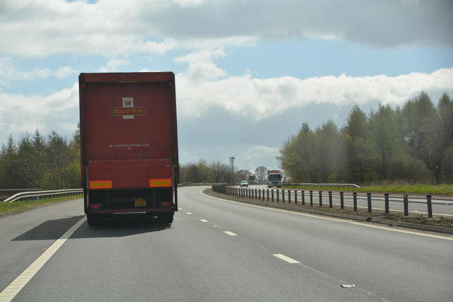
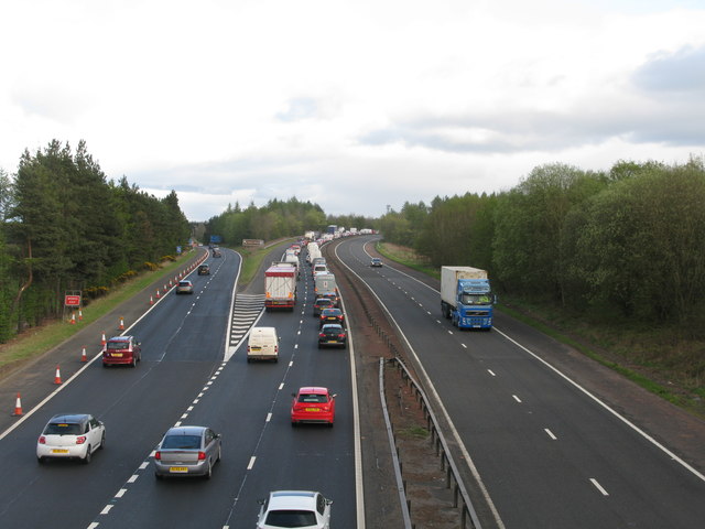
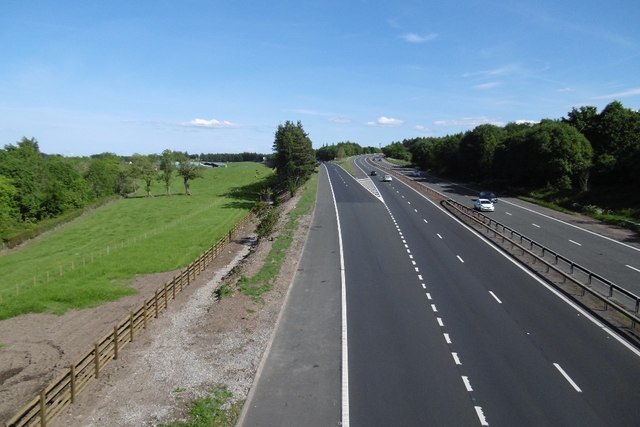
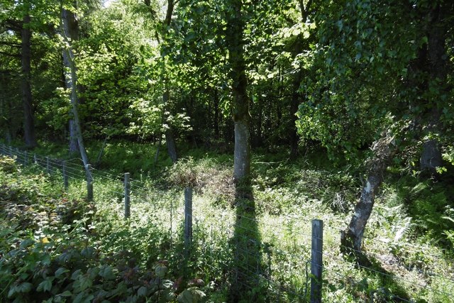
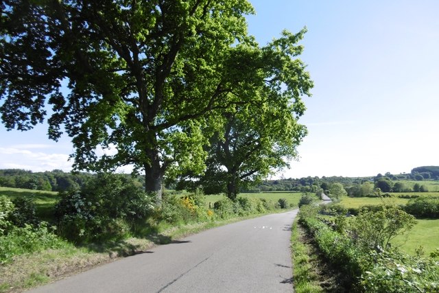
Corse Hill Images
Images are sourced within 2km of 56.072469/-3.9262074 or Grid Reference NS8088. Thanks to Geograph Open Source API. All images are credited.

Corse Hill is located at Grid Ref: NS8088 (Lat: 56.072469, Lng: -3.9262074)
Unitary Authority: Stirling
Police Authority: Forth Valley
What 3 Words
///magma.cubed.confirms. Near Bannockburn, Stirling
Nearby Locations
Related Wikis
Stirling services
Stirling services is a motorway service station near Stirling, Scotland. The service station is located where the M9 motorway and M80 motorway join. It...

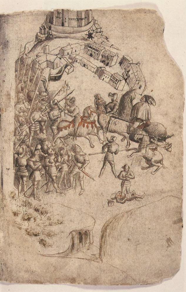
Battle of Sauchieburn
The Battle of Sauchieburn was fought on 11 June 1488, at the side of Sauchie Burn, a stream about two miles (3 km) south of Stirling, Scotland. The battle...
Bannockburn House
Bannockburn House is a property of historical significance in the town of Bannockburn. It is a Category A listed building. == History == Bannockburn House...
Auchenbowie House
Auchenbowie House is a laird's house (mansion) in Stirling, Scotland. The location is about 3.5 miles (5.6 km) south of Stirling, on minor road west of...

Howietoun Fishery
Howietoun Fishery was created by Sir James Ramsay Gibson Maitland; it is a Victorian fish farm that specialised in the study of trout and salmon farming...

Broomridge
Broomridge is a district in the south of the city of Stirling, Scotland, located north of Bannockburn and east of St. Ninians. It is home to Bannockburn...

Bannockburn
Bannockburn (Scottish Gaelic Allt a' Bhonnaich) is an area immediately south of the centre of Stirling in Scotland. It is part of the City of Stirling...
Battle of Bannockburn
The Battle of Bannockburn (Scottish Gaelic: Blàr Allt nam Bànag or Blàr Allt a' Bhonnaich) was fought on 23–24 June 1314, between the army of Robert the...
Nearby Amenities
Located within 500m of 56.072469,-3.9262074Have you been to Corse Hill?
Leave your review of Corse Hill below (or comments, questions and feedback).