Banchory-Devenick

Settlement in Kincardineshire

Scotland

Banchory-Devenick

Silage crop Just before cutting, this is mapped as rough grazing at 1:25,000.
Silage crop Credit: Richard Webb

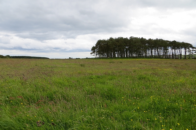
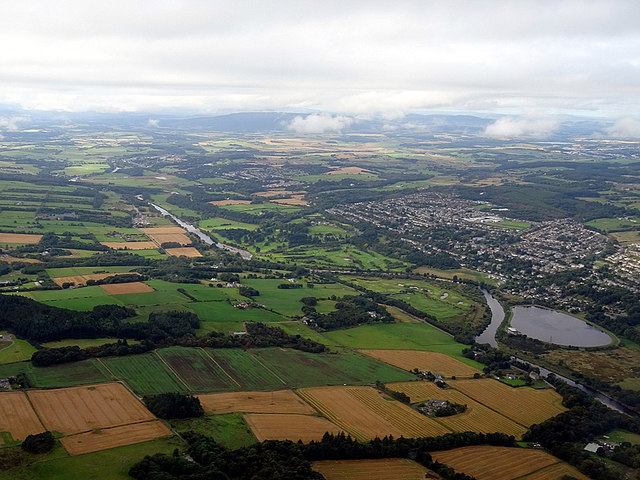
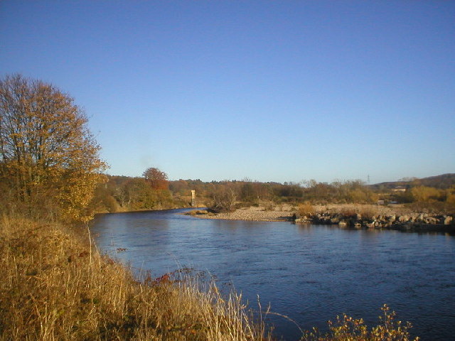
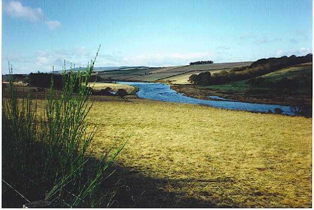
Banchory-Devenick is a small village located in Kincardineshire, Scotland. Situated on the northeastern coast, it is nestled between the cities of Aberdeen and Stonehaven. The village is known for its picturesque setting, surrounded by rolling hills and the North Sea.

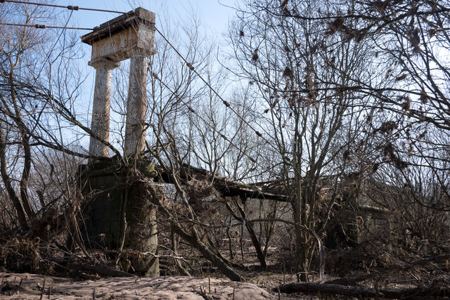
Banchory-Devenick is steeped in history, dating back to ancient times. The area is dotted with archaeological sites, including a Pictish stone and a crannog (an ancient settlement built on stilts over water). These remnants of the past provide a glimpse into the village's rich cultural heritage.

The village itself is home to a close-knit community, with a population of around 500 residents. It offers a tranquil and scenic environment, making it an ideal place for those seeking a peaceful lifestyle away from the hustle and bustle of city living. The village has a primary school, a community center, and a local pub, which serves as a social hub for residents.

Banchory-Devenick is also a popular destination for outdoor enthusiasts. The surrounding countryside offers ample opportunities for hiking, cycling, and wildlife spotting. Additionally, the nearby coast provides opportunities for coastal walks and water sports such as kayaking and sailing.

Overall, Banchory-Devenick is a charming village that offers a blend of history, natural beauty, and a strong sense of community. It is a place where residents and visitors can immerse themselves in the tranquility of the Scottish countryside while still being within reach of larger urban centers.

If you have any feedback on the listing, please let us know in the comments section below.

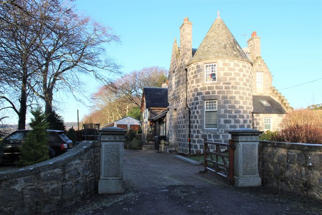
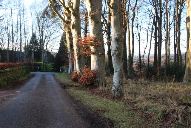
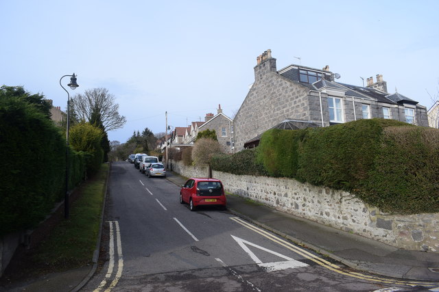
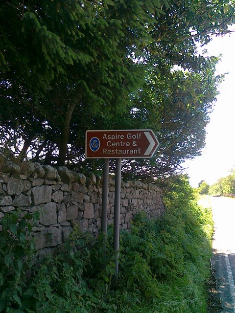
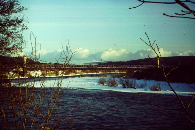
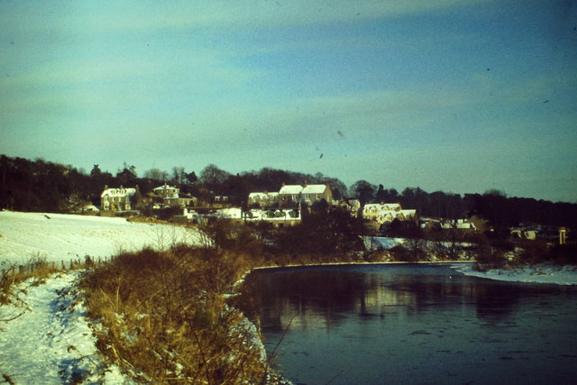
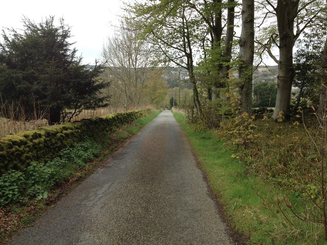
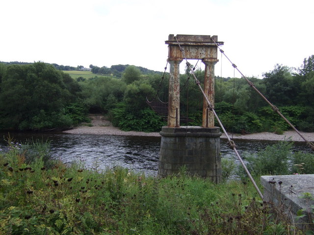
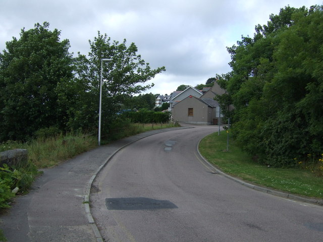
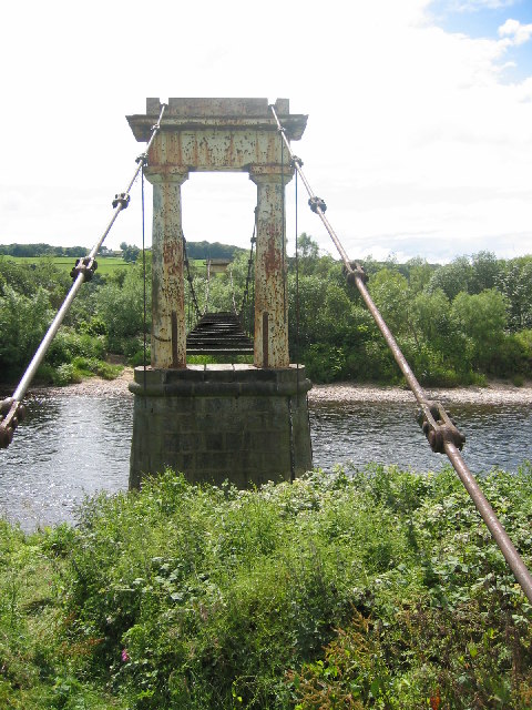
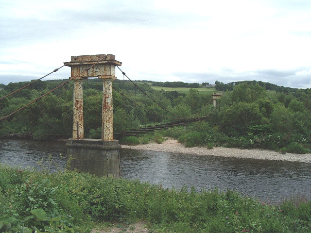
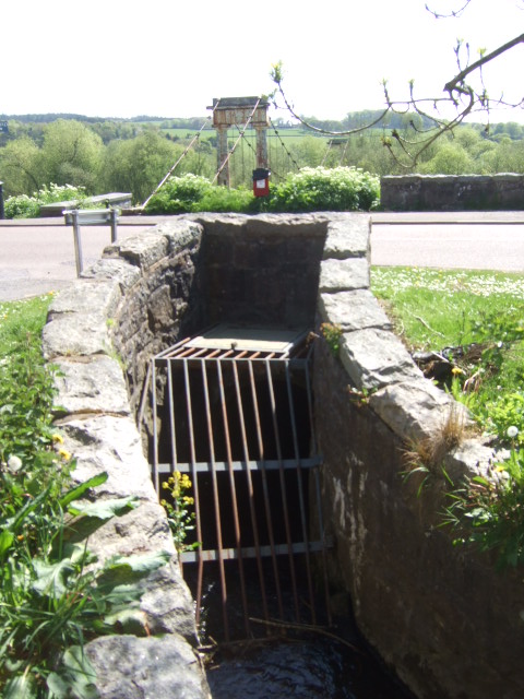
Banchory-Devenick Images

Images are sourced within 2km of 57.107895/-2.141678 or Grid Reference NJ9101. Thanks to Geograph Open Source API. All images are credited.

Silage crop Just before cutting, this is mapped as rough grazing at 1:25,000.
Silage crop
Just before cutting, this is mapped as rough grazing at 1:25,000.
Shakkin' Briggie south tower and pier The south tower and pier of the Shakkin' Briggie.  This is the only part of the bridge with the deck still in place.
Shakkin' Briggie south tower and pier
The south tower and pier of the Shakkin' Briggie. This is the only part of the bridge with the deck still in place.
Inchgarth Reservoir and the River Dee Viewed from a flight from Aberdeen to Birmingham.
Inchgarth Reservoir and the River Dee
Viewed from a flight from Aberdeen to Birmingham.
Deeside Railway, Cults Closed in 1968 and now a cycle/footpath.
Deeside Railway, Cults
Closed in 1968 and now a cycle/footpath.
Greystones An old gate lodge.
Greystones
An old gate lodge.
Roadside beech trees at Ardoe
Primrosehill Road, Cults The road slopes steeply down towards the River Dee behind the photographer.
Primrosehill Road, Cults
The road slopes steeply down towards the River Dee behind the photographer.
Cults and the River Dee Viewed from a flight from Sumburgh (Shetland) preparing to land at Aberdeen. Inchgarth Reservoir is visible on the right with the River Dee flowing around it.
Cults and the River Dee
Viewed from a flight from Sumburgh (Shetland) preparing to land at Aberdeen. Inchgarth Reservoir is visible on the right with the River Dee flowing around it.
Aspire Golf Centre sign
Shakkin' Briggie, Cults Reverend Morison's suspension bridge (opened 1837 and now disused) across the River Dee at Cults.
<span class="nowrap"><a title="http://en.wikipedia.org/wiki/Shakkin'_Briggie" rel="nofollow ugc noopener" href="http://en.wikipedia.org/wiki/Shakkin'_Briggie">Link</a><img style="margin-left:2px;" alt="External link" title="External link - shift click to open in new window" src="https://s1.geograph.org.uk/img/external.png" width="10" height="10"/></span>
Shakkin' Briggie, Cults
Reverend Morison's suspension bridge (opened 1837 and now disused) across the River Dee at Cults. LinkExternal link
River Dee at Cults Wintry scene by Den of Cults and the disused Shakkin' Briggie.
<span class="nowrap"><a title="http://en.wikipedia.org/wiki/Shakkin'_Briggie" rel="nofollow ugc noopener" href="http://en.wikipedia.org/wiki/Shakkin'_Briggie">Link</a><img style="margin-left:2px;" alt="External link" title="External link - shift click to open in new window" src="https://s1.geograph.org.uk/img/external.png" width="10" height="10"/></span>
River Dee at Cults
Wintry scene by Den of Cults and the disused Shakkin' Briggie. LinkExternal link
Minor road near Ardoe
Morison's Bridge Disused bridge over the River Dee.
Morison's Bridge
Disused bridge over the River Dee.
Lorisbank Road Heading north west.
Lorisbank Road
Heading north west.
Shakkin' Brig, Cults, Aberdeen Disused bridge over the River Dee.
Aka Morison's Bridge - funded by a Reverend Morison so his parishioners could safely cross the Dee.
Shakkin' Brig, Cults, Aberdeen
Disused bridge over the River Dee. Aka Morison's Bridge - funded by a Reverend Morison so his parishioners could safely cross the Dee.
The Shakkin' Briggie, aka Morrison's Bridge. Built by the Minister of St. Devenick's Kirk on the S. side of the Dee to allow worshippers to get from Cults on the N. side of the river. Now in disrepair and impassable.
The Shakkin' Briggie, aka Morrison's Bridge.
Built by the Minister of St. Devenick's Kirk on the S. side of the Dee to allow worshippers to get from Cults on the N. side of the river. Now in disrepair and impassable.
River Dee at Cults in Autumn The low lying land on the right bank of the river is known as the Haugh of Ardo.
River Dee at Cults in Autumn
The low lying land on the right bank of the river is known as the Haugh of Ardo.
Culvert under road at Den of Cults Morison's 'Skakkin brig' in the background.
Culvert under road at Den of Cults
Morison's 'Skakkin brig' in the background.
Show me another place!

Banchory-Devenick is located at Grid Ref: NJ9101 (Lat: 57.107895, Lng: -2.141678)

Unitary Authority: Aberdeenshire

Police Authority: North East

What 3 Words

///shall.spicy.gears. Near Cults, Aberdeen

Nearby Locations

Banchory-Devenick

Related Wikis

Banchory-Devenick

Banchory-Devenick (Scottish Gaelic: Beannchar Dòmhnaig) is a hamlet approximately two kilometres south of the city of Aberdeen, Scotland in the Lower Deeside...

Scott Sutherland School of Architecture and Built Environment

The Scott Sutherland School of Architecture and Built Environment, Robert Gordon University, is located at the university's Garthdee campus in Aberdeen...

Gray's School of Art

Gray's School of Art is the Robert Gordon University's art school, located in Aberdeen, Scotland. It is one of the oldest established fine art institutions...

Aberdeen South (UK Parliament constituency)

Aberdeen South is a burgh constituency of the House of Commons of the Parliament of the United Kingdom and it elects one Member of Parliament (MP) by the...

Related Videos

Dunnottar Castle, Scotland, walk around the stunning castle@Toms-trips

Wee trip to Dunnottar Castle, the place was quite busy, lovely weather and lots of interesting sights! Would definitely recommend a ...

Scottish Castle Hotel Near Aberdeen - Ardoe House Hotel & Spa - UK Staycation

Booked with hotels.com last minute This video is NOT sponsored Media enquires wanderingwiganer@gmail.com.

স্কটল্যান্ডের এবারডিন- Aberdeen City of Scotland #shorts #travel #europe #viral #uk #scotland

স্কটল্যান্ডের এবারডিন- Aberdeen City of Scotland #shorts #travel #europe #viral #uk #scotland এটি ...

Nearby Amenities

Located within 500m of 57.107895,-2.141678
Power: tower
Lat/Long: 57.105253/-2.14662
Power: tower
Source: bing
Lat/Long: 57.1043716/-2.1369124
Power: tower
Source: bing
Lat/Long: 57.1046928/-2.1412634
Power: tower
Source: bing
Lat/Long: 57.1061034/-2.1487259
Power: pole
Lat/Long: 57.1048581/-2.1463576
Power: pole
Lat/Long: 57.1053092/-2.1452112
Power: pole
Lat/Long: 57.1056068/-2.1442391
Power: pole
Lat/Long: 57.1058906/-2.1432695
Power: pole
Lat/Long: 57.1064158/-2.142305
Power: pole
Lat/Long: 57.1068934/-2.1413892
Power: pole
Lat/Long: 57.1073798/-2.141752
Power: pole
Lat/Long: 57.1077034/-2.1419893
Power: pole
Lat/Long: 57.1081779/-2.1423277
Power: pole
Lat/Long: 57.1090294/-2.1429236
Power: pole
Lat/Long: 57.1092063/-2.1434235
Power: pole
Lat/Long: 57.1096149/-2.1438629
Power: pole
Lat/Long: 57.1100578/-2.1442214
The data included in this document is from www.openstreetmap.org. The data is made available under ODbL.

Have you been to Banchory-Devenick?

Leave your review of Banchory-Devenick below (or comments, questions and feedback).