Bryniau Pica
Hill, Mountain in Cardiganshire
Wales
Bryniau Pica

Bryniau Pica, located in Cardiganshire, Wales, is a picturesque hill/mountain region that offers breathtaking views and a tranquil environment. The area is part of the Cambrian Mountains, a range known for its rugged beauty and unspoiled landscapes.
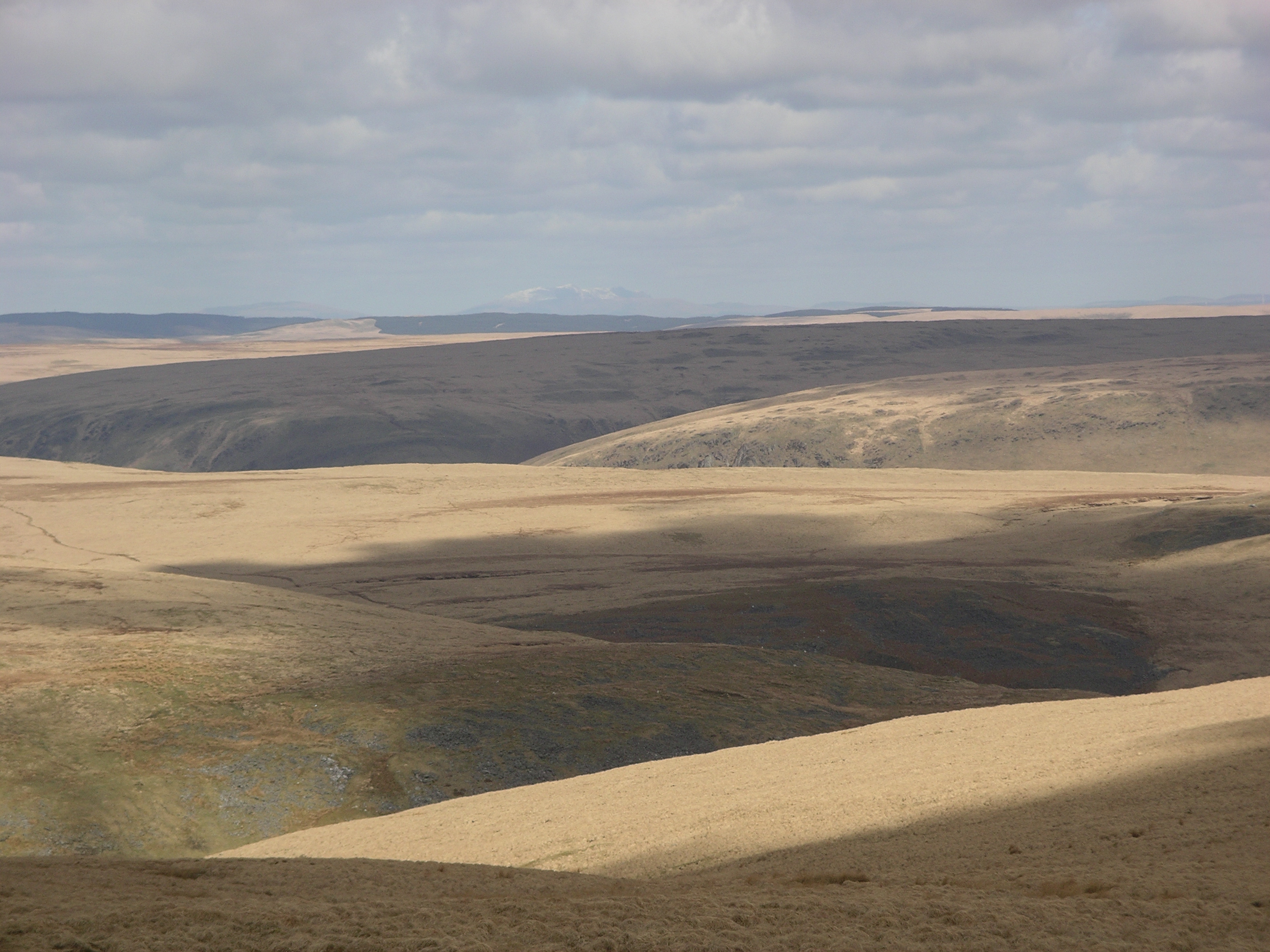
At an elevation of approximately 500 meters, Bryniau Pica showcases a diverse range of natural features. The hill/mountain is characterized by rolling green pastures, scattered woodlands, and rocky outcrops. Its slopes are covered with heather and gorse, creating a vibrant and colorful landscape, especially during the summer months.
The summit of Bryniau Pica provides panoramic views of the surrounding countryside, including the Cardiganshire coastline and the nearby Teifi Valley. On a clear day, visitors can even catch a glimpse of the Snowdonia National Park in the distance.
The area is popular with outdoor enthusiasts, offering a variety of activities such as hiking, mountain biking, and birdwatching. Several well-marked trails traverse the hill/mountain, providing opportunities to explore its diverse flora and fauna. The region is home to a variety of bird species, including red kites, buzzards, and peregrine falcons, making it a haven for birdwatchers.
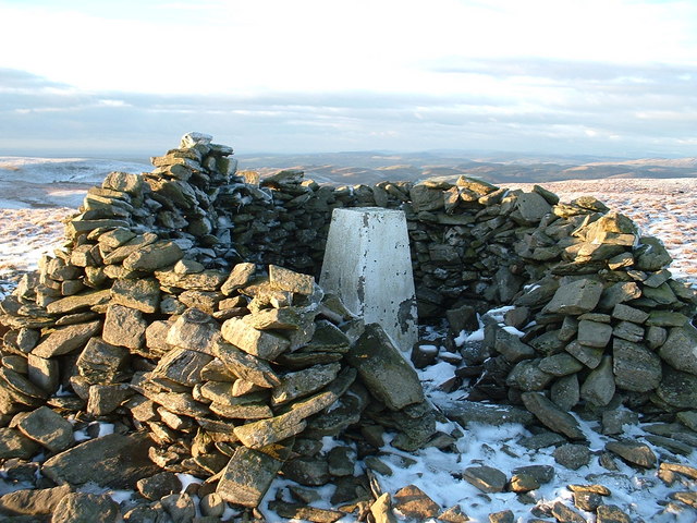
Bryniau Pica also holds historical significance, with remnants of ancient settlements and burial sites scattered across its slopes. These archaeological sites offer a glimpse into the area's rich cultural heritage and provide an opportunity for visitors to connect with the past.
Overall, Bryniau Pica in Cardiganshire offers a captivating blend of natural beauty, outdoor activities, and historical interest. Whether seeking a peaceful retreat or an adventurous escapade, this hill/mountain region has something to offer for everyone.
If you have any feedback on the listing, please let us know in the comments section below.
Bryniau Pica Images
Images are sourced within 2km of 52.27954/-3.7583321 or Grid Reference SN8066. Thanks to Geograph Open Source API. All images are credited.


Bryniau Pica is located at Grid Ref: SN8066 (Lat: 52.27954, Lng: -3.7583321)
Unitary Authority: Ceredigion
Police Authority: Dyfed Powys
What 3 Words
///suits.roughest.allows. Near Cwmystwyth, Ceredigion
Nearby Locations
Related Wikis
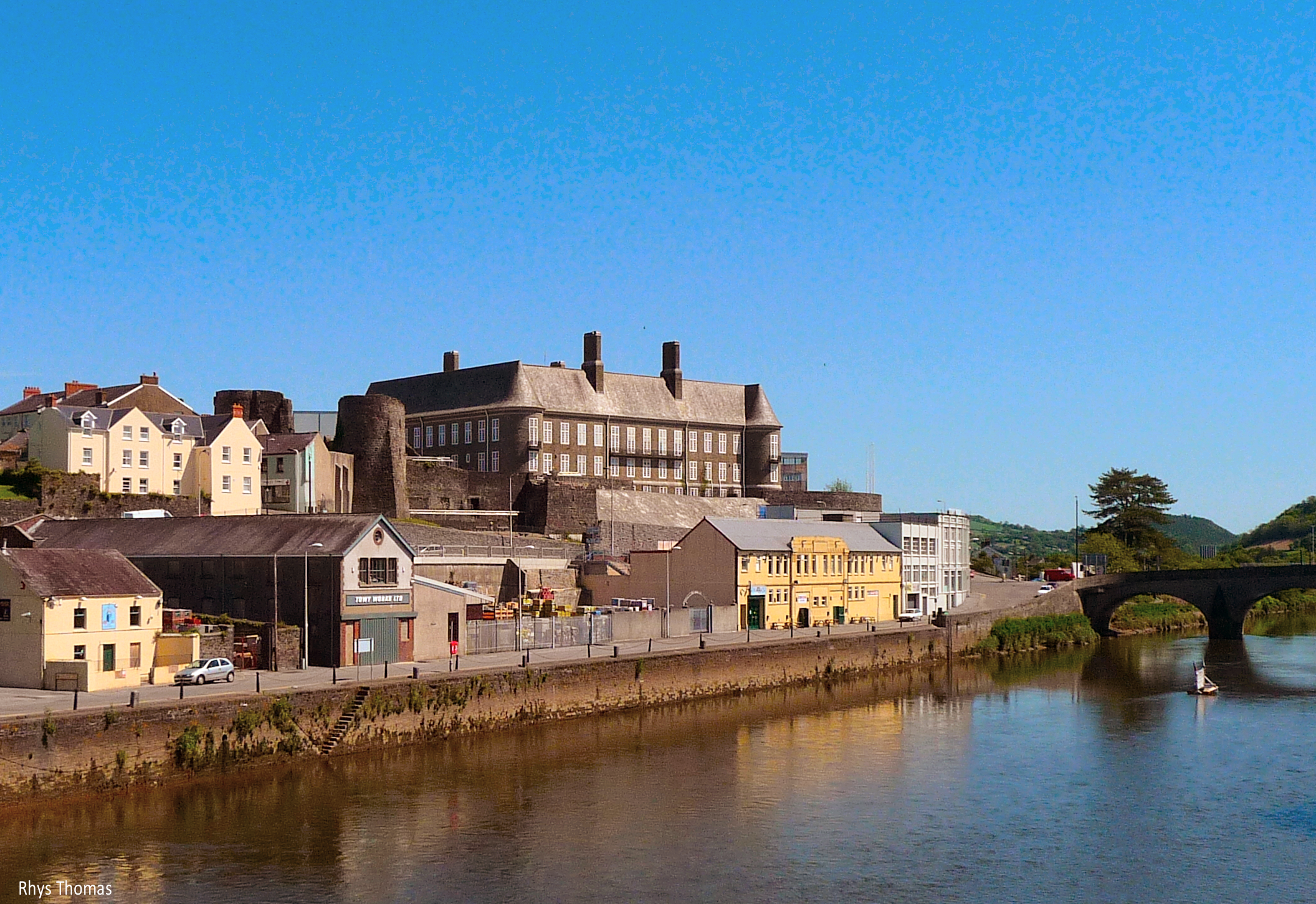
River Towy
The River Towy (Welsh: Afon Tywi, IPA: [ˈtəwɪ]) is one of the longest rivers flowing entirely within Wales. Its total length is 120 km (75 mi). It is noted...

Wales
Wales (Welsh: Cymru [ˈkəm.rɨ] ) is a country that is part of the United Kingdom. It is bordered by England to the east, the Irish Sea to the north and...
Llan Ddu Fawr
Llan Ddu Fawr or Waun Claerddu is a hill located in Ceredigion, Wales, at 594 metres (1,949 ft) above sea level. It is located about 10 miles south of...
Desert of Wales
The Desert of Wales, or Green Desert of Wales, is an archaic term for an area in central Wales, so called for its lack of roads and towns, and its inaccessibility...
Have you been to Bryniau Pica?
Leave your review of Bryniau Pica below (or comments, questions and feedback).