Black Hill
Hill, Mountain in Kirkcudbrightshire
Scotland
Black Hill

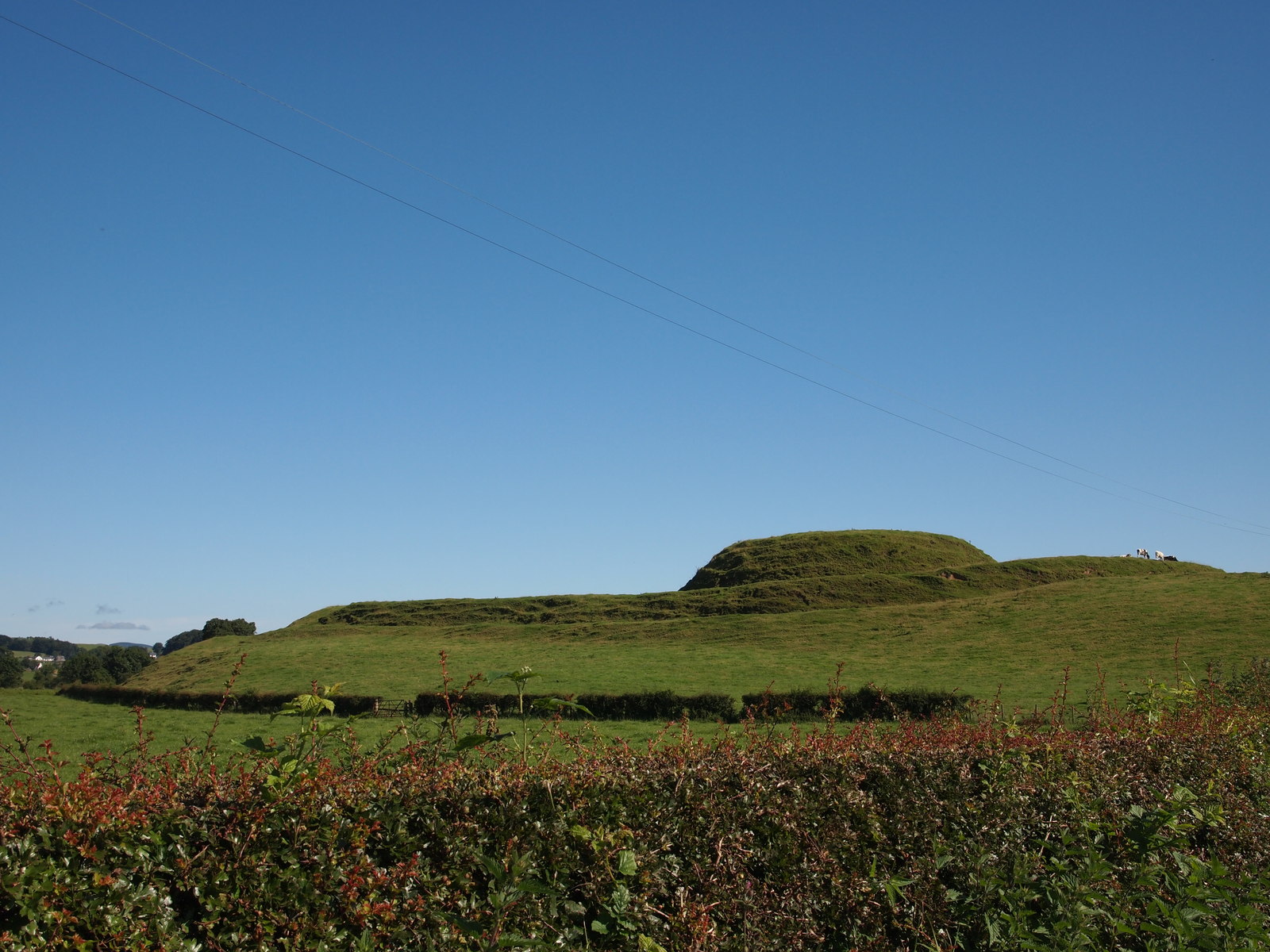
Black Hill is a prominent hill located in the county of Kirkcudbrightshire, in the southwestern region of Scotland. With an elevation of 608 meters (1,995 feet), it is classified as a Corbett, which is a mountain in Scotland between 2,500 and 3,000 feet high.
Situated in the Galloway Forest Park, Black Hill is a popular destination for hikers and outdoor enthusiasts due to its stunning natural beauty and panoramic views. The hill is known for its distinctive shape, characterized by a long, sweeping ridge that extends for approximately 4 kilometers (2.5 miles). The summit offers breathtaking vistas of the surrounding countryside, including nearby lochs and rolling hills. On a clear day, it is even possible to see as far as the Irish Sea.
The terrain of Black Hill is varied, with heather-covered slopes and rocky outcrops adding to its rugged charm. The hill is predominantly composed of granite, which gives it a unique appearance and adds to its allure. The area is also home to a diverse range of flora and fauna, including red deer, roe deer, and a variety of bird species.
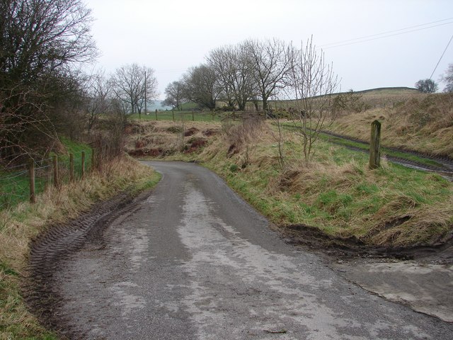
Access to Black Hill is available via several walking routes, with the most popular starting from the nearby village of Straiton. The hike to the summit is challenging but rewarding, offering visitors a chance to experience the beauty of the Scottish countryside firsthand.
If you have any feedback on the listing, please let us know in the comments section below.
Black Hill Images
Images are sourced within 2km of 54.979221/-3.8768255 or Grid Reference NX7966. Thanks to Geograph Open Source API. All images are credited.


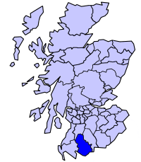
Black Hill is located at Grid Ref: NX7966 (Lat: 54.979221, Lng: -3.8768255)
Unitary Authority: Dumfries and Galloway
Police Authority: Dumfries and Galloway
What 3 Words
///gradually.decimals.saucepan. Near Castle Douglas, Dumfries & Galloway
Nearby Locations
Related Wikis

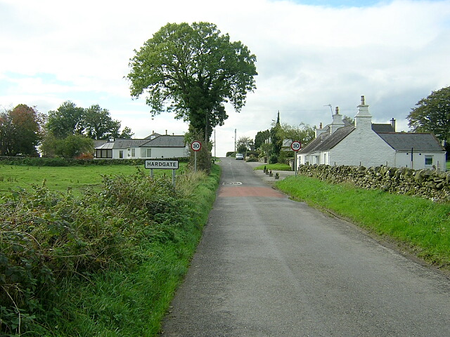
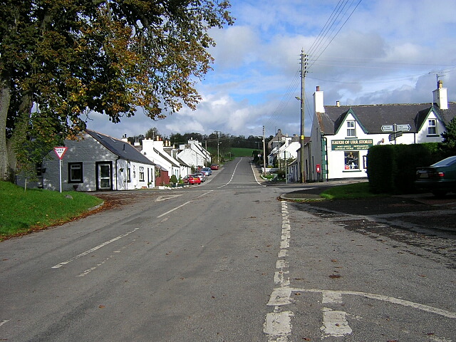
Haugh of Urr
Haugh of Urr (), is a village in the historical county of Kirkcudbrightshire in Dumfries and Galloway, Scotland. It is approximately 4 miles (6 kilometres...
Motte of Urr
The Motte of Urr is the remains of a 12th-century motte-and-bailey castle located near the Haugh of Urr in Dumfries and Galloway, Scotland. == History... ==
Buittle railway station
Buittle railway station, also known as Buittle Halt, Buittle Mill and Buittle Mill Halt, served the civil parish of Buittle, Dumfries and Galloway, Scotland...

A75 road
The A75 is a primary trunk road in Scotland, linking Stranraer and its ferry ports at Cairnryan with the A74(M) at Gretna, close to the border with England...

Springholm
Springholm is a village in the historical county of Kirkcudbrightshire in Dumfries and Galloway, Scotland. It is located 14 miles (23 km) west of Dumfries...

Kirkpatrick Durham
Kirkpatrick Durham (Scottish Gaelic: Cill Phàdraig) is a village and parish in the historical county of Kirkcudbrightshire, Dumfries and Galloway, south...

Buittle
Buittle is an ecclesiastical and civil parish in Dumfries and Galloway, southwest Scotland, in the traditional county of Kirkcudbrightshire. It lies to...
Stewartry
Stewartry was a local government district from 1975 until 1996 within the Dumfries and Galloway region in south-west Scotland. Under the name Stewartry...
Nearby Amenities
Located within 500m of 54.979221,-3.8768255Have you been to Black Hill?
Leave your review of Black Hill below (or comments, questions and feedback).