Carn Dubh Mòr
Hill, Mountain in Nairnshire
Scotland
Carn Dubh Mòr

Carn Dubh Mòr is a prominent hill located in Nairnshire, Scotland. It rises to an elevation of approximately 561 meters (1,841 feet) above sea level, making it a notable landmark in the region. The hill is situated within the expansive Cairngorms National Park, renowned for its stunning landscapes and diverse flora and fauna.
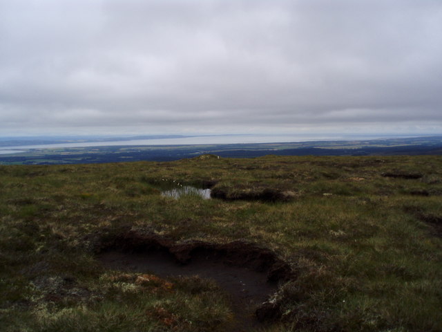
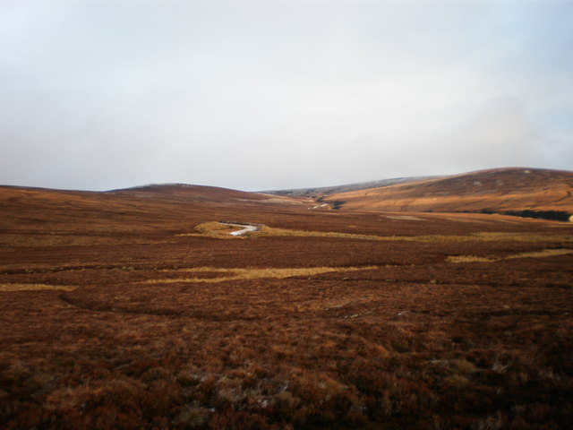
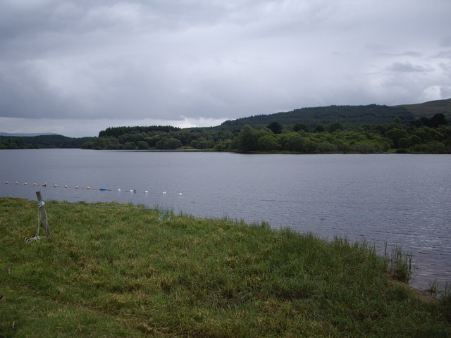
Carn Dubh Mòr is characterized by its distinctive shape and rugged terrain. Its slopes are covered with heather and grasses, offering a picturesque view that changes with the seasons. The summit provides breathtaking panoramic vistas of the surrounding countryside, including the nearby Lochindorb and the Moray Firth.
The hill is a popular destination for outdoor enthusiasts, attracting hikers and hillwalkers who seek to conquer its challenging trails. The ascent can be challenging but rewarding, as it offers opportunities to observe local wildlife such as red deer, mountain hares, and various bird species.
Carn Dubh Mòr also holds historical and cultural significance. It is believed to have been used as a beacon hill in ancient times, serving as a landmark for travelers. Additionally, the area surrounding the hill is dotted with remnants of Bronze Age settlements, including cairns and standing stones, adding an extra layer of intrigue to the site.
Overall, Carn Dubh Mòr is a remarkable hill that offers a blend of natural beauty, outdoor adventure, and historical interest. Whether one seeks an invigorating hike or a tranquil spot to enjoy the Scottish countryside, this Nairnshire landmark provides an unforgettable experience.
If you have any feedback on the listing, please let us know in the comments section below.
Carn Dubh Mòr Images
Images are sourced within 2km of 57.433653/-4.0034268 or Grid Reference NH7939. Thanks to Geograph Open Source API. All images are credited.


Carn Dubh Mòr is located at Grid Ref: NH7939 (Lat: 57.433653, Lng: -4.0034268)
Unitary Authority: Highland
Police Authority: Highlands and Islands
What 3 Words
///encloses.caravans.commands. Near Balloch, Highland
Nearby Locations
Related Wikis

Moy Hall
Moy Hall near the village of Moy, south of Inverness, is the home of the chiefs of the Clan Mackintosh, a Highland Scottish clan. == History == The original...
Loch Moy
Loch Moy (from the Scottish Gaelic Loch A'Mhoigh meaning the Loch of the Plain) is a freshwater loch beside the village of Moy near Inverness in the Scottish...
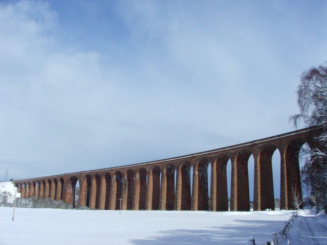
Culloden Viaduct
The Culloden Viaduct is a railway viaduct on the Highland Main Line, to the east of the city of Inverness, in the Highland council area of Scotland. It...

Clava cairn
The Clava cairn is a type of Bronze Age circular chamber tomb cairn, named after the group of three cairns at Balnuaran of Clava, to the east of Inverness...

Daviot railway station
Daviot railway station served the village of Daviot, Highland, Scotland, from 1897 to 1965 on the Inverness and Aviemore Direct Railway. == History... ==

Inverness, Nairn, Badenoch and Strathspey (UK Parliament constituency)
Inverness, Nairn, Badenoch and Strathspey is a constituency of the House of Commons of the UK Parliament. As with all seats since 1950 it elects one Member...

Moy, Highland
The village of Moy (Scottish Gaelic: A' Mhòigh) is situated between the villages of Daviot and Tomatin, in the Highland region of Scotland. It sits beside...
Moy railway station
Moy railway station served in the village of Moy, Highland, Scotland from 1897 to 1965 on the Inverness and Aviemore Direct Railway. == History == The...
Have you been to Carn Dubh Mòr?
Leave your review of Carn Dubh Mòr below (or comments, questions and feedback).