Beinn Liath
Hill, Mountain in Perthshire
Scotland
Beinn Liath

The requested URL returned error: 429 Too Many Requests
If you have any feedback on the listing, please let us know in the comments section below.
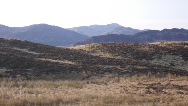
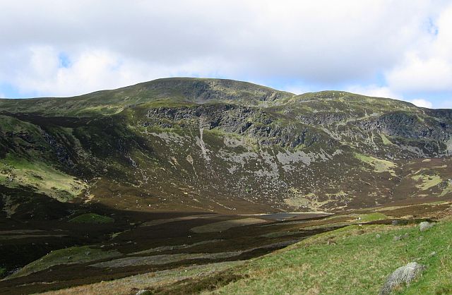
Beinn Liath Images
Images are sourced within 2km of 56.417101/-3.952625 or Grid Reference NN7926. Thanks to Geograph Open Source API. All images are credited.


Beinn Liath is located at Grid Ref: NN7926 (Lat: 56.417101, Lng: -3.952625)
Unitary Authority: Perth and Kinross
Police Authority: Tayside
What 3 Words
///sock.connector.ozone. Near Comrie, Perth & Kinross
Nearby Locations
Related Wikis
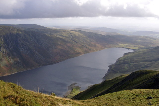
Loch Turret
Loch Turret is a large freshwater reservoir on a north-east to south-west orientation, that is located at the head of Glen Turret and 5.39 miles (8.67...
Ben Chonzie
Ben Chonzie or Ben-y-Hone (Scottish Gaelic: Beinn a' Chomhainn, 'mountain of the narrowness', or possibly from Beinn Chòinnich, 'mossy mountain') is a...

Falls of Turret
Falls of Turret is a waterfall of Scotland. == See also == Waterfalls of Scotland == References ==

Ochtertyre
Ochtertyre is a country house and estate in Perth and Kinross, Scotland. It is located in Strathearn, between Crieff and Loch Turret, north of the A85...
Have you been to Beinn Liath?
Leave your review of Beinn Liath below (or comments, questions and feedback).