Bryn Wg
Hill, Mountain in Montgomeryshire
Wales
Bryn Wg
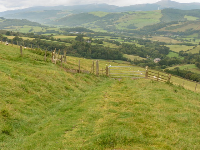
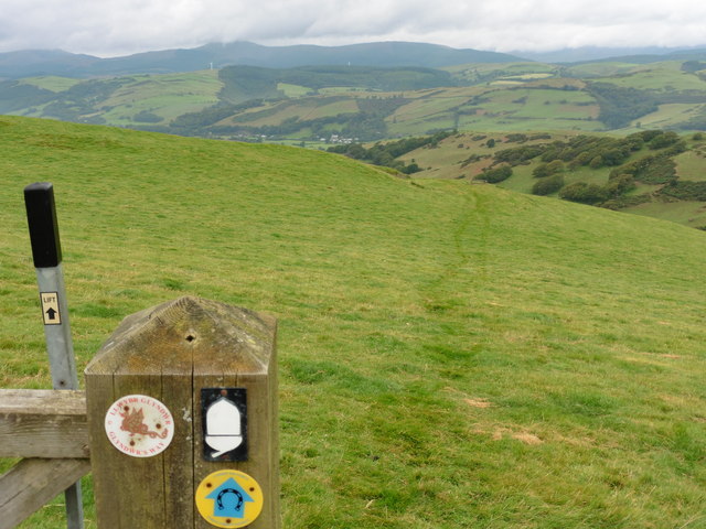
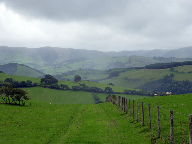
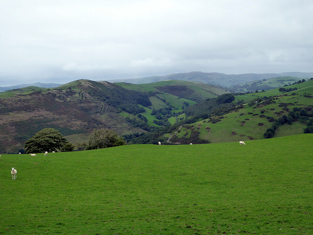
Located in Montgomeryshire, Wales, Bryn Wg is a prominent hill/mountain in the region. Standing at an impressive height of approximately 1,840 feet (561 meters), it offers breathtaking panoramic views of the surrounding landscape. Situated near the town of Llanymynech, Bryn Wg forms part of the larger Berwyn range, which is renowned for its stunning natural beauty.
The hill/mountain is characterized by its rugged terrain, with steep slopes and craggy outcrops dominating its landscape. It is primarily composed of sedimentary rocks, including sandstone and gritstone, which have been shaped over millions of years by geological forces. As a result, Bryn Wg displays various interesting rock formations, adding to its allure for rock climbers and geology enthusiasts.
The area surrounding Bryn Wg is rich in biodiversity, with a diverse range of flora and fauna. The hill/mountain is home to several species of birds, including red grouse and peregrine falcons, making it a popular destination for birdwatchers. Additionally, the hillside is adorned with vibrant heather and gorse, providing a picturesque setting for nature lovers.
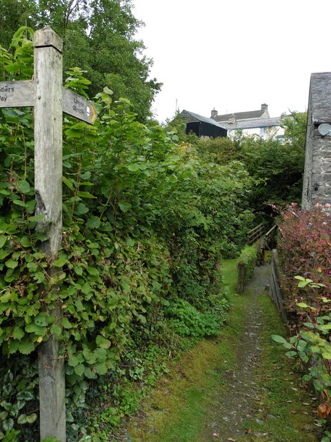
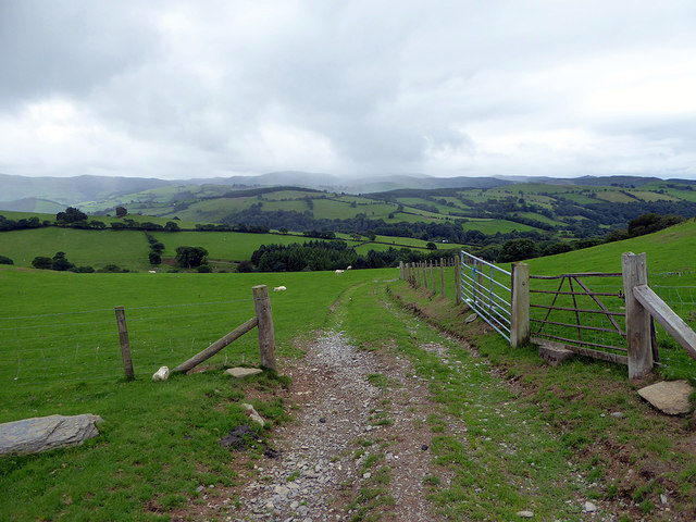
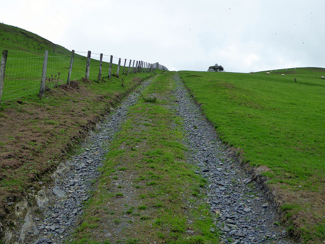
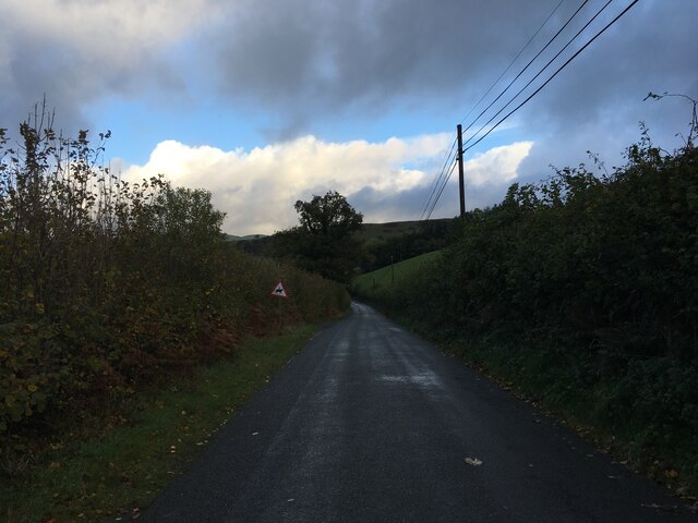
Access to Bryn Wg is relatively straightforward, with a network of footpaths and trails allowing visitors to explore its slopes. Hiking enthusiasts can enjoy a challenging climb to the summit, rewarded by breathtaking views of the surrounding countryside. However, caution is advised, as the terrain can be steep and slippery in places.
Overall, Bryn Wg in Montgomeryshire is a captivating hill/mountain, offering a unique blend of natural beauty, geological interest, and recreational opportunities for outdoor enthusiasts.
If you have any feedback on the listing, please let us know in the comments section below.
Bryn Wg Images
Images are sourced within 2km of 52.597856/-3.7821584 or Grid Reference SH7901. Thanks to Geograph Open Source API. All images are credited.


Bryn Wg is located at Grid Ref: SH7901 (Lat: 52.597856, Lng: -3.7821584)
Unitary Authority: Powys
Police Authority: Dyfed Powys
What 3 Words
///splash.straws.disengage. Near Machynlleth, Powys
Nearby Locations
Related Wikis

Abergwydol
Abergwydol () is a village in the Welsh principal area of Powys located on the A489 road between Cemmaes Road and Penegoes. It is part of the community...
Abercegir
Abercegir () is a small rural village in Powys, Wales. It lies approximately 4 miles east of the town of Machynlleth and is 81 miles (131 km) from Cardiff...

Penegoes
Penegoes () is a village in Powys, Wales, between Cemmaes Road and Machynlleth, on the A489 road, and the primary settlement of the community of Cadfarch...
Llanwrin
Llanwrin () is a small village in the valley of the Afon Dyfi in Powys, Wales, about two miles north-east of Machynlleth. == History and background... ==
Nearby Amenities
Located within 500m of 52.597856,-3.7821584Have you been to Bryn Wg?
Leave your review of Bryn Wg below (or comments, questions and feedback).