Cefn Modfedd
Hill, Mountain in Montgomeryshire
Wales
Cefn Modfedd
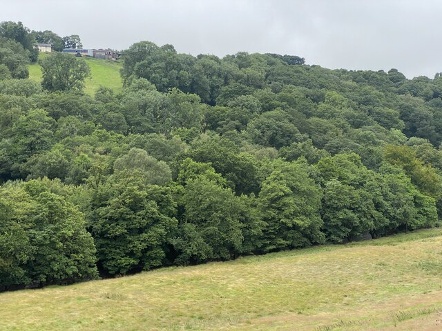
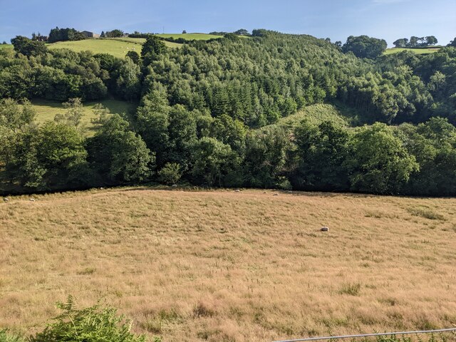
Cefn Modfedd is a notable hill located in Montgomeryshire, Wales. It is situated within the beautiful region of Powys, near the village of Abermule. With an elevation of approximately 337 meters (1,105 feet), Cefn Modfedd is classified as a hill rather than a mountain. However, it still offers breathtaking views and is popular among hikers and nature enthusiasts.
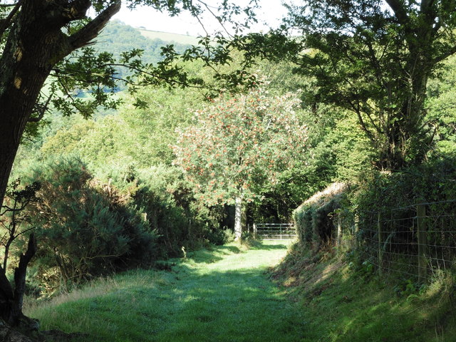
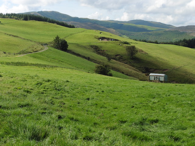
The hill is characterized by its gently sloping terrain and is covered by lush green vegetation, including grasslands and scattered trees. It is also home to a variety of wildlife, such as birds, rabbits, and foxes. The area surrounding Cefn Modfedd is known for its tranquility and peacefulness, providing visitors with an escape from the hustle and bustle of daily life.
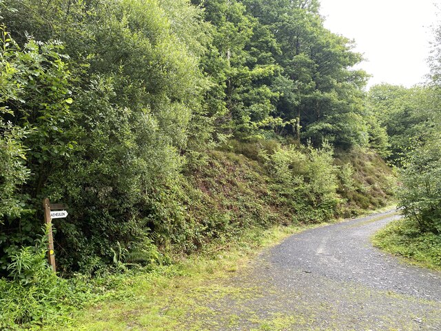
Hikers and nature lovers can explore Cefn Modfedd by following several footpaths and trails that wind their way up the hill. The routes offer different levels of difficulty, catering to both experienced hikers and beginners. Along the way, walkers can enjoy the panoramic views of the surrounding countryside, including rolling hills and distant mountains.
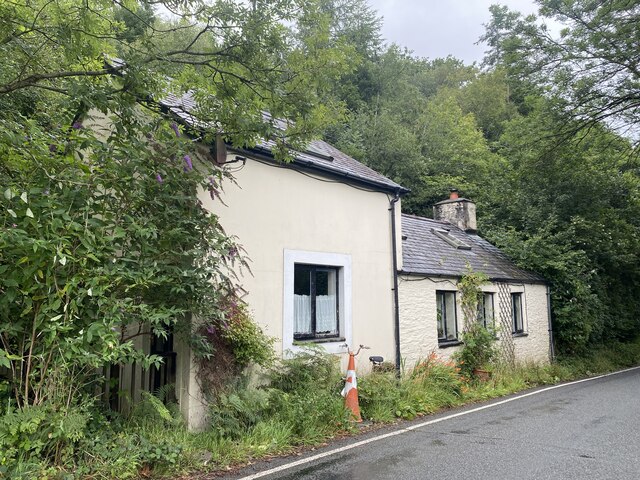
Cefn Modfedd is easily accessible by car or public transportation, with parking available at the foot of the hill. It provides an excellent opportunity for outdoor activities, such as picnicking, birdwatching, and photography. The hill's peaceful and scenic surroundings make it a popular destination for those seeking a tranquil retreat in the heart of Montgomeryshire.
If you have any feedback on the listing, please let us know in the comments section below.
Cefn Modfedd Images
Images are sourced within 2km of 52.55911/-3.7889666 or Grid Reference SN7897. Thanks to Geograph Open Source API. All images are credited.


Cefn Modfedd is located at Grid Ref: SN7897 (Lat: 52.55911, Lng: -3.7889666)
Unitary Authority: Powys
Police Authority: Dyfed Powys
What 3 Words
///skills.wove.identify. Near Machynlleth, Powys
Nearby Locations
Related Wikis

Aberhosan
Aberhosan () is a village in the Welsh principal area of Powys, located between the town of Machynlleth and village of Dylife. It is in the historic county...
Forge, Powys
Forge (Welsh: "Y Bontfaen") is a village in the county of Powys, Wales near to Machynlleth. It lies on the southern Afon Dulas on the mountain road to...

Penegoes
Penegoes () is a village in Powys, Wales, between Cemmaes Road and Machynlleth, on the A489 road, and the primary settlement of the community of Cadfarch...

Siambr Trawsfynydd
Siambr Trawsfynydd is a mountain in Ceredigion, Wales, located to the north of Pumlumon. It is 582 m (1,910 ft) above sea level and one of the higher summits...
Clipyn Du
Clipyn Du is a mountain in northern Powys in Wales. Also known as Tarren Bwlch-Gwyn or Siambwr Trawsfynydd, it is one of the higher summits of the area...

Pistyll y Llyn
Pistyll y Llyn is one of the tallest waterfalls in Wales and the United Kingdom. It is a horsetail style set of falls which are located in the Cambrian...
Abercegir
Abercegir () is a small rural village in Powys, Wales. It lies approximately 4 miles east of the town of Machynlleth and is 81 miles (131 km) from Cardiff...
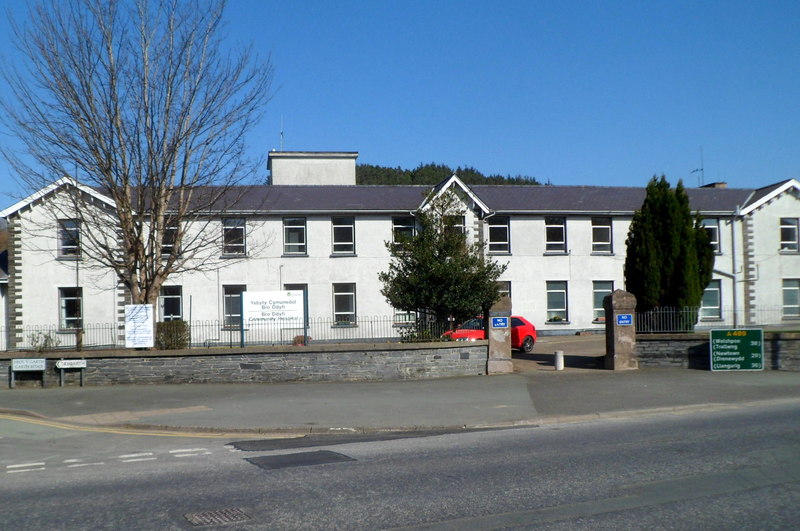
Bro Ddyfi Community Hospital
Bro Ddyfi Community Hospital (Welsh: Ysbyty Cymuned Bro Ddyfi) is a health facility in Heol Maengwyn, Machynlleth, Powys, Wales. It is managed by the Powys...
Nearby Amenities
Located within 500m of 52.55911,-3.7889666Have you been to Cefn Modfedd?
Leave your review of Cefn Modfedd below (or comments, questions and feedback).