Bryniau

Hill, Mountain in Caernarfonshire

Wales

Bryniau

Gorsaf reilffordd Llandudno / Llandudno railway station
Gorsaf reilffordd Llandudno / Llandudno railway station Credit: Ceri Thomas

Bryniau is a prominent hill located in the county of Caernarfonshire, Wales. Standing at an impressive height of approximately 400 meters (1,312 feet), it offers breathtaking panoramic views of the surrounding landscape. Situated near the village of Llanrug, Bryniau is a popular destination for outdoor enthusiasts and nature lovers.

The hill is characterized by its rugged terrain, covered in lush green vegetation, and dotted with rocky outcrops. It is a part of the Snowdonia National Park, known for its picturesque beauty and diverse flora and fauna. Bryniau is particularly famous for its heather-covered slopes, which create a stunning purple carpet during the summer months.

Hiking and walking trails crisscross the hill, providing opportunities for visitors to explore its scenic surroundings. The ascent to the summit can be challenging, but the reward is well worth the effort, as it offers mesmerizing views of the Snowdonia mountain range, lakes, and valleys.

Bryniau also holds historical significance, as it is believed to have played a role in ancient battles and settlements. Ruins of Iron Age forts and burial mounds can still be found on its slopes, attracting archaeology enthusiasts.

The hill is easily accessible by road, with parking facilities available nearby. Local guides and tourist information centers provide detailed maps and guidance for those wishing to explore Bryniau and its surrounding areas. Whether it's for a leisurely stroll or a challenging hike, Bryniau offers a memorable experience for all who venture to its summit.

If you have any feedback on the listing, please let us know in the comments section below.
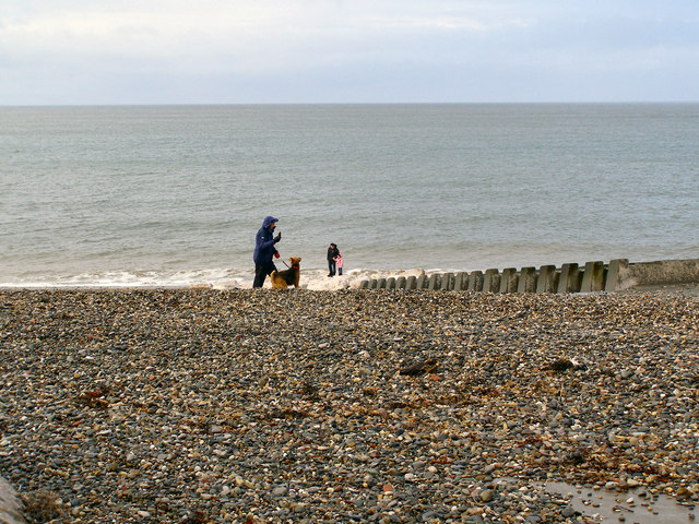
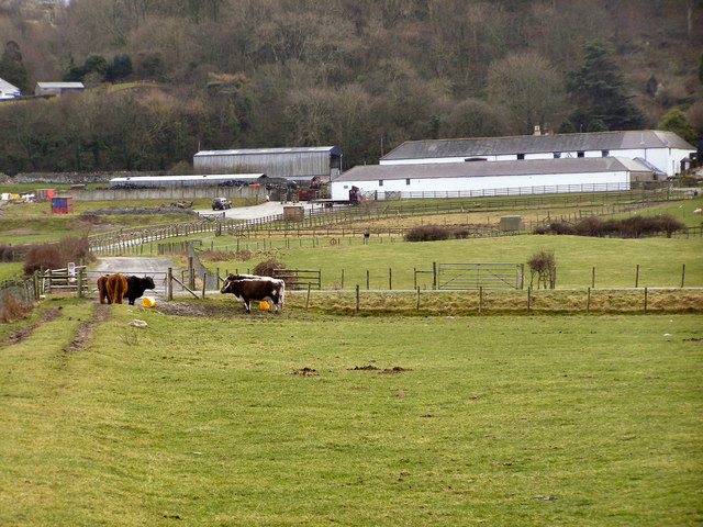
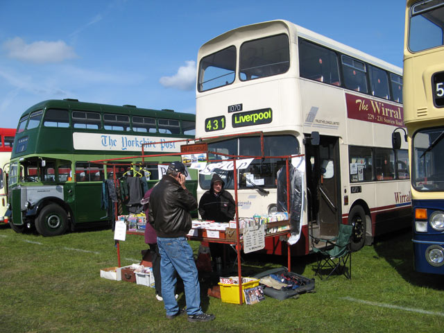
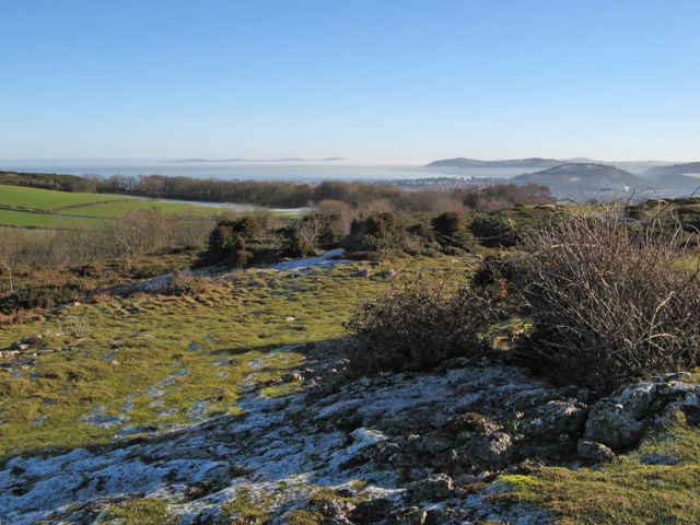
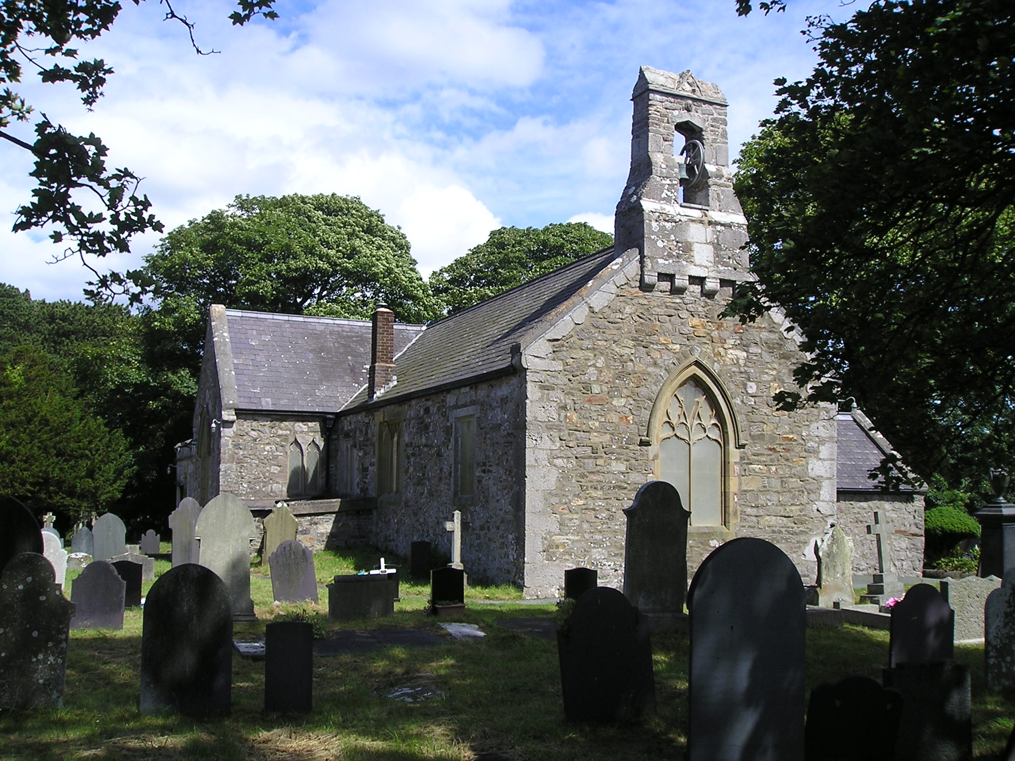
Bryniau Images

Images are sourced within 2km of 53.309022/-3.8210445 or Grid Reference SH7880. Thanks to Geograph Open Source API. All images are credited.

Gorsaf reilffordd Llandudno / Llandudno railway station
Cysgodfan Penmorfa / West Shore shelter
Penrhynside View across Penrhynside towards the Great Orme
Penrhynside
View across Penrhynside towards the Great Orme
St David's Looking North towards miscellaneous buildings within St David's College.
St David's
Looking North towards miscellaneous buildings within St David's College.
American Power Part of the Llandudno Victorian Weekend held every year over the May Bank Holiday, which includes street entertainment, static displays of Vintage & Veteran Vehicles etc.
American Power
Part of the Llandudno Victorian Weekend held every year over the May Bank Holiday, which includes street entertainment, static displays of Vintage & Veteran Vehicles etc.
Rhwyddlwyn pigog / Spiked speedwell / Vernonica spikata This rare flower is found on a number of locations on the Gloddaeth Hills.
Rhwyddlwyn pigog / Spiked speedwell / Vernonica spikata
This rare flower is found on a number of locations on the Gloddaeth Hills.
Cyw iar y coed / Chicken of the woods / Laetiporus sulphureus
Gloddaeth Hall (St.David's College) A house with Tudor origins and Victorian grandeur, not far from Llandudno.  In the 18th century the owners could drive from here to Liverpool without leaving their own land.
Gloddaeth Hall (St.David's College)
A house with Tudor origins and Victorian grandeur, not far from Llandudno. In the 18th century the owners could drive from here to Liverpool without leaving their own land.
The Hall, Gloddaeth Hall Some Mostyn family portraits still hang over the old dining table. What a credit to generations of children for whom this has been their school that they remain in such good condition!
The Hall, Gloddaeth Hall
Some Mostyn family portraits still hang over the old dining table. What a credit to generations of children for whom this has been their school that they remain in such good condition!
Pebbled Beach The beach opposite Bodafon Farm Park
Pebbled Beach
The beach opposite Bodafon Farm Park
Bodafon Farm
Bodafon Farm
Bus stand Buses and a sales stand on the farmland which is occupied annually by the Llandudno Transport Festival. Representatives of the fleets once belonging to West Midlands PTE, Merseyside PTE and Leeds City Transport are featured. It is a matter of note that the LCT fleet never painted the (aluminium) engine access cover, so this is not a work-in-progress or laziness on the part of the owners.
Bus stand
Buses and a sales stand on the farmland which is occupied annually by the Llandudno Transport Festival. Representatives of the fleets once belonging to West Midlands PTE, Merseyside PTE and Leeds City Transport are featured. It is a matter of note that the LCT fleet never painted the (aluminium) engine access cover, so this is not a work-in-progress or laziness on the part of the owners.
Penrhynside Gloddaeth Farm Field Ancient footpath across farmland marked by modern pillars.
Penrhynside Gloddaeth Farm Field
Ancient footpath across farmland marked by modern pillars.
Junction of tracks At the head of the steep, public road from Craig-y-Don there is a branching into tracks to the residential and farming properties on the summit plateau of Nant-y-Gamar. Frost can be seen clinging stubbornly to the tarmac road surface.
Junction of tracks
At the head of the steep, public road from Craig-y-Don there is a branching into tracks to the residential and farming properties on the summit plateau of Nant-y-Gamar. Frost can be seen clinging stubbornly to the tarmac road surface.
Nant-y-Gamar A view of the summit plateau of the hill, looking over Bodafon to the Little Orme.
Nant-y-Gamar
A view of the summit plateau of the hill, looking over Bodafon to the Little Orme.
Bushes on Nant-y-Gamar The overgrown common on the summit of the hill, with a view of the woodland stretching away to Penrhynside. The mid-distance includes Bryn Euryn <a href="https://www.geograph.org.uk/gridref/SH8379">SH8379</a> and Llandrillo-yn-Rhos. In the far distance a layer of fog is flowing out to sea from the Vale of Clwyd, leaving isolated 'nunataks' of the Clwydian range.
Bushes on Nant-y-Gamar
The overgrown common on the summit of the hill, with a view of the woodland stretching away to Penrhynside. The mid-distance includes Bryn Euryn SH8379 and Llandrillo-yn-Rhos. In the far distance a layer of fog is flowing out to sea from the Vale of Clwyd, leaving isolated 'nunataks' of the Clwydian range.
Sheep pasture Ewes are eyeing us with some suspicion as we cross the large pasture below the woods. At the edge of the woodland there are enigmatic ruins and another dwelling.
Sheep pasture
Ewes are eyeing us with some suspicion as we cross the large pasture below the woods. At the edge of the woodland there are enigmatic ruins and another dwelling.
Coed Isaf
Coed Isaf
Show me another place!

Bryniau is located at Grid Ref: SH7880 (Lat: 53.309022, Lng: -3.8210445)

Unitary Authority: Conwy

Police Authority: North Wales

What 3 Words

///mandolin.telephone.sagging. Near Deganwy, Conwy

Nearby Locations

Bryniau Wood Bryniau

Related Wikis

Llandudno General Hospital

Llandudno General Hospital (Welsh: Ysbyty Cyffredinol Llandudno) is a general hospital in Llandudno, Wales. It is managed by the Betsi Cadwaladr University...

Llanrhos

Llanrhos (English: 'Church on the moor') is a village in the community of Conwy, in Conwy County Borough, Wales. The village lies between the towns of...

Llandudno F.C.

Llandudno Football Club (Welsh: Clwb PĂȘl-droed Llandudno) is a Welsh football club that currently play in the Cymru North. == History == Football in...

Llandudno Albion F.C.

Llandudno Albion Football Club was a Welsh football team based in Llandudno, in Conwy County Borough, Wales. == History == The club was formed in the summer...

Nearby Amenities

Located within 500m of 53.309022,-3.8210445
Post Box
Ref: LL30 152
Lat/Long: 53.3128133/-3.8229143
Traffic Calming: yes
Lat/Long: 53.3124209/-3.8231082
Mini Roundabout
Direction: clockwise
Lat/Long: 53.3128497/-3.822853
Turning Circle
Lat/Long: 53.3121666/-3.8164188
Turning Circle
Lat/Long: 53.3104695/-3.8163881
Power: pole
Lat/Long: 53.3063071/-3.8237194
Power: pole
Lat/Long: 53.3104067/-3.8237248
Power: pole
Lat/Long: 53.3074931/-3.8244597
Power: pole
Lat/Long: 53.3082335/-3.8235424
Power: pole
Lat/Long: 53.3079803/-3.8210587
Power: pole
Lat/Long: 53.3078361/-3.8198571
Power: pole
Lat/Long: 53.3068456/-3.8245938
Power: pole
Lat/Long: 53.3080957/-3.8221799
Power: pole
Lat/Long: 53.307647/-3.81806
Power: pole
Lat/Long: 53.3057301/-3.822829
Power: pole
Lat/Long: 53.3081438/-3.8242934
Power: pole
Lat/Long: 53.3104067/-3.8234351
Power: pole
Lat/Long: 53.3099612/-3.823521
Power: pole
Lat/Long: 53.3087848/-3.8241325
Power: pole
Lat/Long: 53.3049672/-3.8216753
Power: pole
Lat/Long: 53.3094035/-3.8239716
Power: pole
Lat/Long: 53.3074579/-3.8162897
Power: pole
Lat/Long: 53.3092592/-3.8236765
Traffic Calming: yes
Lat/Long: 53.3117058/-3.8236971
Traffic Calming: yes
Lat/Long: 53.311603/-3.8245592
Traffic Calming: yes
Lat/Long: 53.3127004/-3.8233038
Traffic Calming: yes
Lat/Long: 53.3119481/-3.8243825
Bench
Backrest: no
Lat/Long: 53.3091055/-3.8221722
Bench
Lat/Long: 53.3100094/-3.8200855
Bench
Lat/Long: 53.3089166/-3.8232279
Barrier: stile
Step Count: 5
Stile: ladder
Lat/Long: 53.3099796/-3.8195096
Bench
Backrest: no
Lat/Long: 53.3087049/-3.822022
Bench
Lat/Long: 53.3093812/-3.8220328
Bench
Lat/Long: 53.3096023/-3.8219711
Bench
Lat/Long: 53.30962/-3.8204851
Access: yes
Entrance: yes
Lat/Long: 53.3109921/-3.8272413
Reception Desk
Assessment and Therapy
Lat/Long: 53.3104631/-3.8279188
Reception Desk
X-Ray
Lat/Long: 53.3112857/-3.8275008
Access: yes
Entrance: yes
Lat/Long: 53.3111777/-3.8275013
Reception Desk
North Wales Bone Unit
Lat/Long: 53.3105624/-3.8279269
Access: yes
Entrance: yes
Lat/Long: 53.3105409/-3.827818
Reception Desk
Rheumatology
Lat/Long: 53.3108005/-3.8275743
Elevator
Access: yes
Level: 0;1;2
Lat/Long: 53.3109192/-3.8277431
Elevator
Access: yes
Indoor: yes
Level: 0;1;2
Lat/Long: 53.3109552/-3.8273116
Power: substation
Lat/Long: 53.310593/-3.814128
Power: substation
Lat/Long: 53.311882/-3.819924
Power: substation
Lat/Long: 53.312515/-3.825276
Power: substation
Lat/Long: 53.312225/-3.826062
Kindergarten
Clebran Day Nursery
Addr City: Llandudno
Addr Country: GB
Addr Housenumber: 24
Addr Postcode: LL30 1PT
Addr Street: Vicarage Road
Fhrs Authority: Conwy
Fhrs Local Authority Id: 58051
Name En: Clebran Day Nursery
Old Fhrs Id: 128207
Lat/Long: 53.3110237/-3.8161853
Barrier: stile
Stile: ladder
Lat/Long: 53.3060155/-3.8185502
Barrier: stile
Stile: ladder
Lat/Long: 53.306353/-3.8165994
Barrier: stile
Step Count: 4
Stile: ladder
Lat/Long: 53.3111568/-3.8181529
Barrier: stile
Step Count: 5
Stile: ladder
Lat/Long: 53.3080662/-3.8265424
Barrier: stile
Step Count: 4
Stile: ladder
Lat/Long: 53.3086073/-3.8218973
Barrier: stile
Stile: ladder
Lat/Long: 53.306168/-3.8206444
Barrier: stile
Step Count: 5
Stile: ladder
Lat/Long: 53.3097327/-3.8200153
Bench
Lat/Long: 53.3089751/-3.8230374
Barrier: kissing_gate
Lat/Long: 53.3109276/-3.826326
Barrier: stile
Step Count: 5
Stile: ladder
Lat/Long: 53.3059505/-3.8216964
Barrier: stile
Step Count: 2
Stile: stepover
Lat/Long: 53.3075679/-3.8234483
Direction: 165
Generator Method: photovoltaic
Generator Output Electricity: yes
Generator Solar Modules: 5
Generator Source: solar
Generator Type: solar_photovoltaic_panel
Location: roof
Power: generator
Lat/Long: 53.3108915/-3.8224194
Direction: 125
Generator Method: photovoltaic
Generator Output Electricity: yes
Generator Solar Modules: 12
Generator Source: solar
Generator Type: solar_photovoltaic_panel
Location: roof
Power: generator
Lat/Long: 53.3094432/-3.8172461
Direction: 255
Generator Method: photovoltaic
Generator Output Electricity: yes
Generator Solar Modules: 10
Generator Source: solar
Generator Type: solar_photovoltaic_panel
Location: roof
Power: generator
Lat/Long: 53.3108074/-3.8225743
Direction: E
Generator Method: photovoltaic
Generator Output Electricity: yes
Generator Solar Modules: 8
Generator Source: solar
Generator Type: solar_photovoltaic_panel
Location: roof
Power: generator
Lat/Long: 53.310978/-3.8216744
Direction: W
Generator Method: photovoltaic
Generator Output Electricity: yes
Generator Solar Modules: 7
Generator Source: solar
Generator Type: solar_photovoltaic_panel
Location: roof
Power: generator
Lat/Long: 53.3109869/-3.8217402
Direction: 185
Generator Method: photovoltaic
Generator Output Electricity: yes
Generator Solar Modules: 14
Generator Source: solar
Generator Type: solar_photovoltaic_panel
Location: roof
Power: generator
Lat/Long: 53.3119323/-3.819007
Direction: 185
Generator Method: photovoltaic
Generator Output Electricity: yes
Generator Solar Modules: 14
Generator Source: solar
Generator Type: solar_photovoltaic_panel
Location: roof
Power: generator
Lat/Long: 53.3119468/-3.8192832
Direction: 145
Generator Method: photovoltaic
Generator Output Electricity: yes
Generator Solar Modules: 10
Generator Source: solar
Generator Type: solar_photovoltaic_panel
Location: roof
Power: generator
Lat/Long: 53.3125717/-3.8187193
Direction: SSE
Generator Method: photovoltaic
Generator Output Electricity: yes
Generator Solar Modules: 16
Generator Source: solar
Generator Type: solar_photovoltaic_panel
Location: roof
Power: generator
Lat/Long: 53.3114949/-3.8168907
Direction: SE
Generator Method: photovoltaic
Generator Output Electricity: yes
Generator Solar Modules: 10
Generator Source: solar
Generator Type: solar_photovoltaic_panel
Location: roof
Power: generator
Lat/Long: 53.3104756/-3.8168371
Direction: SE
Generator Method: photovoltaic
Generator Output Electricity: yes
Generator Solar Modules: 6
Generator Source: solar
Generator Type: solar_photovoltaic_panel
Location: roof
Power: generator
Lat/Long: 53.3104812/-3.8167338
Direction: 185
Generator Method: photovoltaic
Generator Output Electricity: yes
Generator Solar Modules: 14
Generator Source: solar
Generator Type: solar_photovoltaic_panel
Location: roof
Power: generator
Lat/Long: 53.3098747/-3.8139457
Golf: pin
Lat/Long: 53.3079699/-3.8277362
The data included in this document is from www.openstreetmap.org. The data is made available under ODbL.

Have you been to Bryniau?

Leave your review of Bryniau below (or comments, questions and feedback).