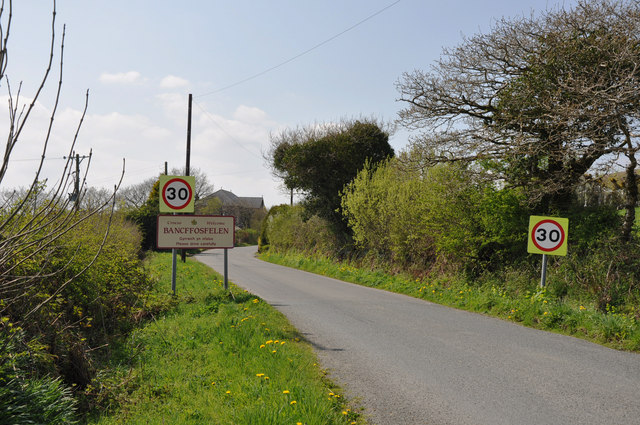
Bancffosfelen

Settlement in Carmarthenshire

Wales

Bancffosfelen

Old Forest Postboxes This is really odd. Along a quiet track through a forest is this brace of old postboxes. Why are there three ? In the middle of nowhere ? Anybody know ?
Old Forest Postboxes Credit: Nigel Davies

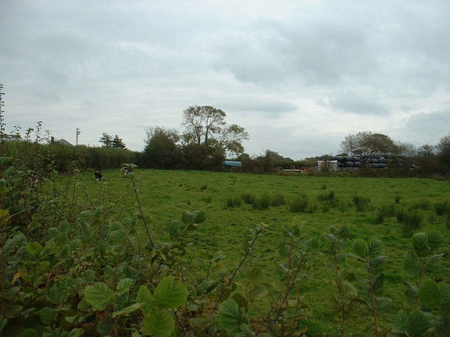
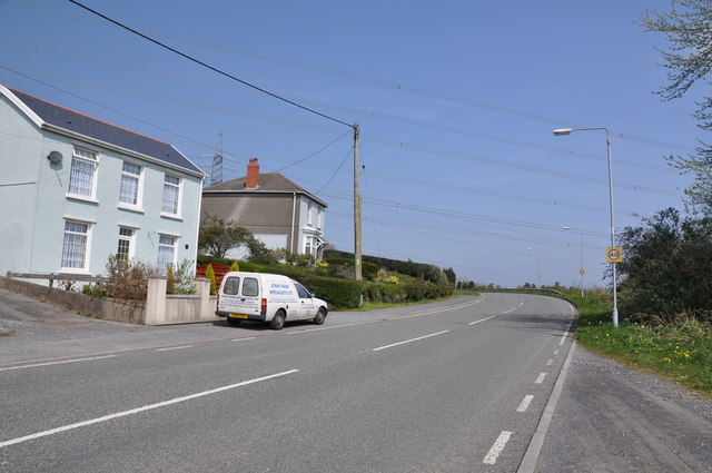
Bancffosfelen is a small village located in the county of Carmarthenshire, Wales. Situated in the western part of the county, it lies approximately 9 miles north of the town of Llanelli. The village is nestled in a rural setting, surrounded by picturesque countryside and rolling hills.

With a population of around 1,000 residents, Bancffosfelen maintains a close-knit community atmosphere. The village offers a range of amenities to its residents, including a primary school, community center, and a local shop. There are also several recreational facilities, such as a playground and sports fields, providing opportunities for outdoor activities.

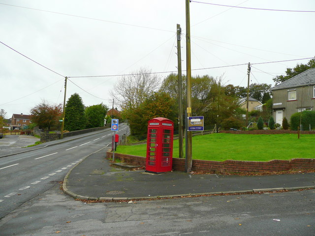
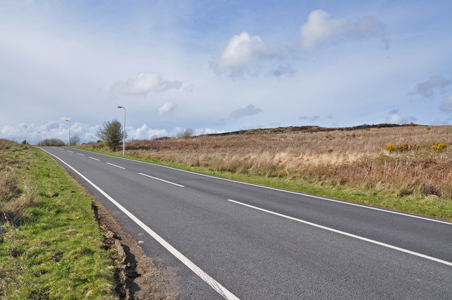
The village is well-connected to neighboring towns and cities through a network of roads. It is situated near the A476 road, which provides easy access to Llanelli and other nearby areas. Additionally, public transportation is available with regular bus services running through the village.

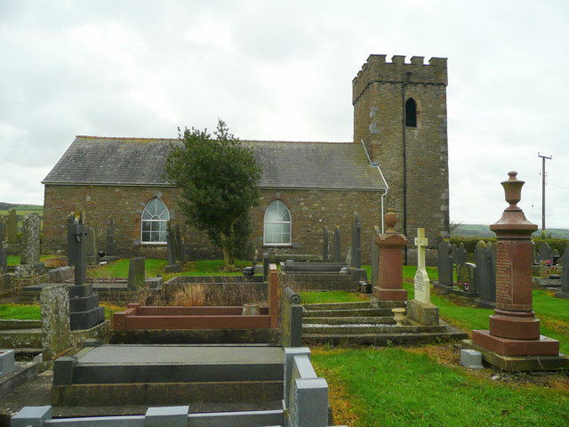
Bancffosfelen boasts a rich history, with evidence of human habitation dating back to prehistoric times. The area is also known for its agricultural heritage, with farming playing an important role in the local economy.

Surrounded by natural beauty, Bancffosfelen offers ample opportunities for outdoor enthusiasts. The nearby countryside provides scenic walking trails and cycling routes, allowing visitors and residents to explore the stunning surroundings.

In summary, Bancffosfelen is a charming village in Carmarthenshire, Wales, known for its close-knit community, rural setting, and access to the beautiful countryside. It provides a peaceful and picturesque place to live or visit.

If you have any feedback on the listing, please let us know in the comments section below.

Bancffosfelen Images

Images are sourced within 2km of 51.785058/-4.188425 or Grid Reference SN4911. Thanks to Geograph Open Source API. All images are credited.

Old Forest Postboxes This is really odd. Along a quiet track through a forest is this brace of old postboxes. Why are there three ? In the middle of nowhere ? Anybody know ?
Old Forest Postboxes
This is really odd. Along a quiet track through a forest is this brace of old postboxes. Why are there three ? In the middle of nowhere ? Anybody know ?
Garn Ganol bus shelter A curious bus shelter with its own integral turnstile. Hardly necessary, given the small interior.
Closer inspection reveals that the 2 "G"s in the cement title above the doorway have been moulded upside down.
Garn Ganol bus shelter
A curious bus shelter with its own integral turnstile. Hardly necessary, given the small interior. Closer inspection reveals that the 2 "G"s in the cement title above the doorway have been moulded upside down.
Trig pillar on Mynydd Llangyndeyrn A short walk from the road to the south rewards you with a fantastic view which explains why this pillar is here.
You can see out to the Carmarthen bay, Caldey Island, the Preselli Mountains, Frenni Fawr, Bannau Sir Gar and Mynydd Sylen.
Trig pillar on Mynydd Llangyndeyrn
A short walk from the road to the south rewards you with a fantastic view which explains why this pillar is here. You can see out to the Carmarthen bay, Caldey Island, the Preselli Mountains, Frenni Fawr, Bannau Sir Gar and Mynydd Sylen.
Rock slab on Mynydd Llangyndeyrn This giant slab of rock is very near the road to the southwest. It is typical of the many prominences on this mountain top and probably explains why it is quarried. On one side is an inclined flat slab. Around the other are the cracked and broken layers revealed by the inclination.
Rock slab on Mynydd Llangyndeyrn
This giant slab of rock is very near the road to the southwest. It is typical of the many prominences on this mountain top and probably explains why it is quarried. On one side is an inclined flat slab. Around the other are the cracked and broken layers revealed by the inclination.
Farming at Gwndwn Mawr The farm roof is visible on the left. It's on the opposite side of the road to these bales and equipment.
Farming at Gwndwn Mawr
The farm roof is visible on the left. It's on the opposite side of the road to these bales and equipment.
The lane to Llwyn Bustach
St. John's church, Pontyberem This building is isolated from the mining village and is referred to locally as Capel Ifan to distinguish it from a newer building near the village centre.
St. John's church, Pontyberem
This building is isolated from the mining village and is referred to locally as Capel Ifan to distinguish it from a newer building near the village centre.
B4306 at Pontyberem Looking west from Maes-y-felin at the west end of the village.
B4306 at Pontyberem
Looking west from Maes-y-felin at the west end of the village.
The  B4306 north east of Bancfosffelen
The B4306 north east of Bancfosffelen
The B4306 looking south west toward Bancfosffelen
Approach to Bancffosfelen from the north east
Woodland
Woodland
Lane to Cilcarw
Lane to Cilcarw
Rough Pasture
Rough Pasture
Trees on country road north of Trallwm Country road near Bancffosfelen
Trees on country road north of Trallwm
Country road near Bancffosfelen
Leaving Bancffosfelen to the south west
Departing Pont Henri for Pontyberem to the north east
Ordnance Survey Cut Mark This OS cut mark can be found on the wall junction, No50 & No52 Heol Y Banc. It marks a point 74.32m above mean sea level.
Ordnance Survey Cut Mark
This OS cut mark can be found on the wall junction, No50 & No52 Heol Y Banc. It marks a point 74.32m above mean sea level.
Show me another place!

Bancffosfelen is located at Grid Ref: SN4911 (Lat: 51.785058, Lng: -4.188425)

Unitary Authority: Carmarthenshire

Police Authority: Dyfed Powys

What 3 Words

///cassettes.donates.sandals. Near Pontyberem, Carmarthenshire

Nearby Locations

Bancffosfelen

Related Wikis

Pontyberem

Pontyberem () is a village and community situated in the Gwendraeth Valley halfway between Carmarthen and Llanelli in Carmarthenshire, Wales. As of the...

Mynydd Llangyndeyrn

Mynydd Llangyndeyrn is a Site of Special Scientific Interest (SSSI) in Carmarthen & Dinefwr, Wales, and a hill reaching 263 metres (863 feet), which is...

Waunfawr, Carmarthenshire

Waunfawr is an enclosed pasture that is a Site of Special Scientific Interest in Carmarthen & Dinefwr, Wales. == See also == List of Sites of Special...

Pentremawr Colliery

Pentremawr Colliery was a coal mine, located in the Gwendraeth valley in Carmarthenshire, South Wales. Due to the angle and depth of the anthracite in...

Nearby Amenities

Located within 500m of 51.785058,-4.188425
Bancffosfelen
Place: hamlet
Lat/Long: 51.7872965/-4.1925742
Give Way
Lat/Long: 51.7874094/-4.1938102
Direction: 85
Generator Method: photovoltaic
Generator Output Electricity: yes
Generator Solar Modules: 12
Generator Source: solar
Generator Type: solar_photovoltaic_panel
Location: roof
Power: generator
Lat/Long: 51.7831846/-4.1894925
Direction: 265
Generator Method: photovoltaic
Generator Output Electricity: yes
Generator Solar Modules: 14
Generator Source: solar
Generator Type: solar_photovoltaic_panel
Location: roof
Power: generator
Lat/Long: 51.7831771/-4.1895756
Direction: SW
Generator Method: photovoltaic
Generator Output Electricity: yes
Generator Solar Modules: 8
Generator Source: solar
Generator Type: solar_photovoltaic_panel
Location: roof
Power: generator
Lat/Long: 51.7819114/-4.185732
Direction: SW
Generator Method: photovoltaic
Generator Output Electricity: yes
Generator Solar Modules: 15
Generator Source: solar
Generator Type: solar_photovoltaic_panel
Location: roof
Power: generator
Lat/Long: 51.7818807/-4.1857716
Direction: S
Generator Method: photovoltaic
Generator Output Electricity: yes
Generator Solar Modules: 12
Generator Source: solar
Generator Type: solar_photovoltaic_panel
Location: roof
Power: generator
Lat/Long: 51.7838217/-4.1817275
The data included in this document is from www.openstreetmap.org. The data is made available under ODbL.

Have you been to Bancffosfelen?

Leave your review of Bancffosfelen below (or comments, questions and feedback).