Bryn Eithinog
Hill, Mountain in Cardiganshire
Wales
Bryn Eithinog

Bryn Eithinog is a prominent hill located in the county of Cardiganshire, Wales. Standing at an elevation of approximately 400 meters (1,300 feet), it offers breathtaking panoramic views of the surrounding countryside and beyond.
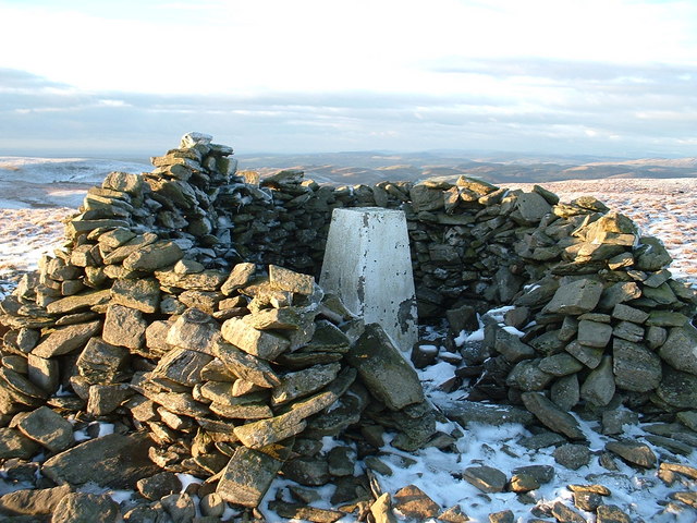
The hill is characterized by its rugged landscape, covered in a patchwork of heather, grasses, and gorse. Its slopes are dotted with scattered rocks and boulders, adding to its picturesque charm. The summit of Bryn Eithinog is crowned with a trig point, providing a convenient landmark for hikers and surveyors.
The hill is a popular destination for outdoor enthusiasts, attracting hikers, walkers, and nature lovers throughout the year. Several well-marked trails crisscross the area, offering a range of difficulty levels for different abilities. From the summit, on a clear day, one can admire breathtaking views of the Cardigan Bay, the Cambrian Mountains, and even as far as Snowdonia National Park.
Bryn Eithinog is also home to a diverse range of flora and fauna. The hillside supports a variety of grasses, wildflowers, and shrubs, providing habitats for numerous bird species, butterflies, and small mammals. It is not uncommon to spot red kites soaring gracefully overhead or hear the distinctive call of a skylark.
Overall, Bryn Eithinog is a captivating natural landmark in Cardiganshire, offering visitors a chance to immerse themselves in the beauty of the Welsh countryside and appreciate the wonders of nature.
If you have any feedback on the listing, please let us know in the comments section below.
Bryn Eithinog Images
Images are sourced within 2km of 52.285459/-3.7815847 or Grid Reference SN7866. Thanks to Geograph Open Source API. All images are credited.


Bryn Eithinog is located at Grid Ref: SN7866 (Lat: 52.285459, Lng: -3.7815847)
Unitary Authority: Ceredigion
Police Authority: Dyfed Powys
What 3 Words
///king.cabinets.instilled. Near Cwmystwyth, Ceredigion
Nearby Locations
Related Wikis
Llan Ddu Fawr
Llan Ddu Fawr or Waun Claerddu is a hill located in Ceredigion, Wales, at 594 metres (1,949 ft) above sea level. It is located about 10 miles south of...
River Towy
The River Towy (Welsh: Afon Tywi, IPA: [ˈtəwɪ]) is one of the longest rivers flowing entirely within Wales. Its total length is 120 km (75 mi). It is noted...

Ystrad Fflur
Ystrad Fflur is a hamlet and community in Ceredigion, Wales, south-east of Aberystwyth. The community includes the villages of Pontrhydfendigaid and Ffair...
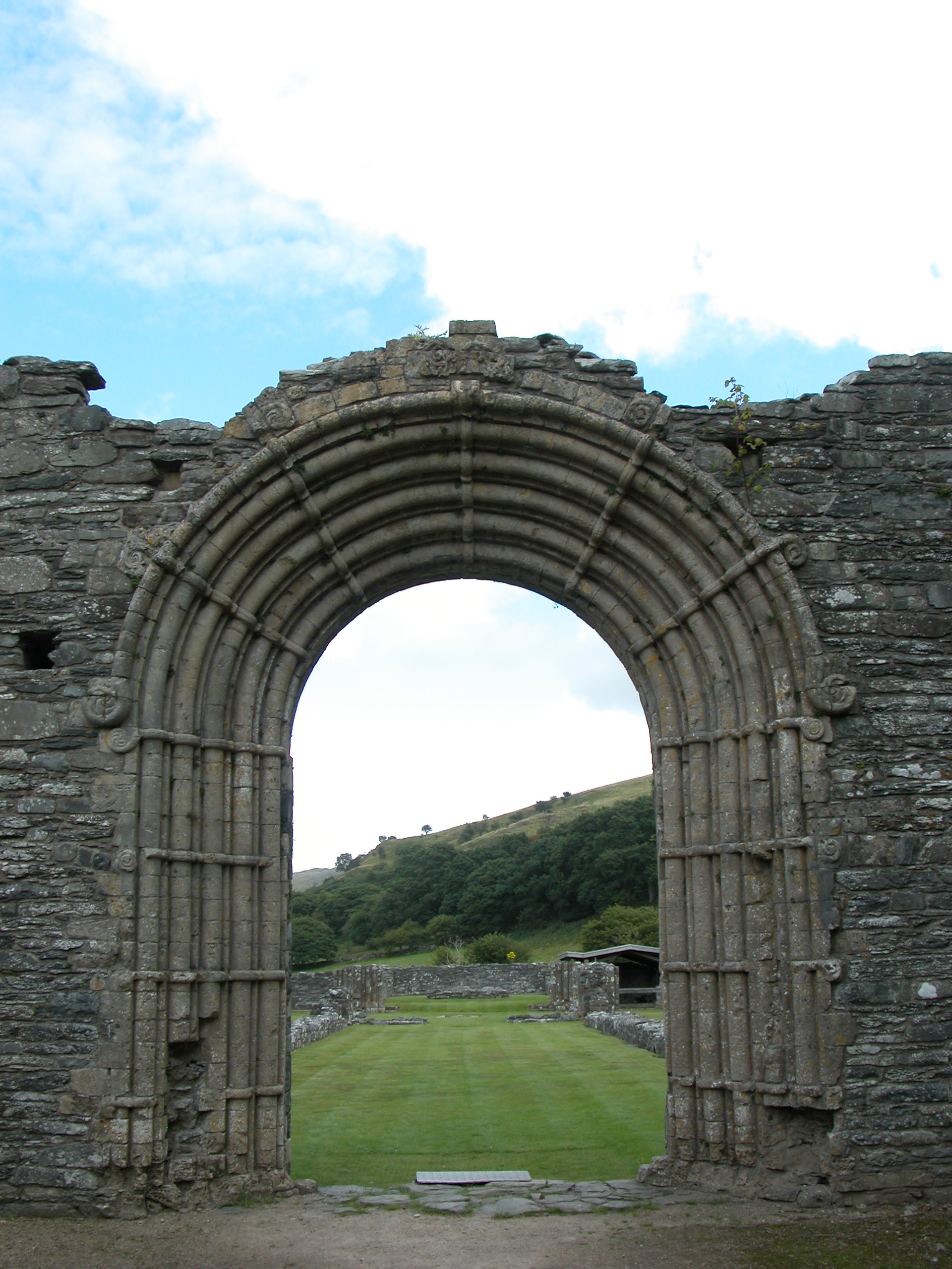
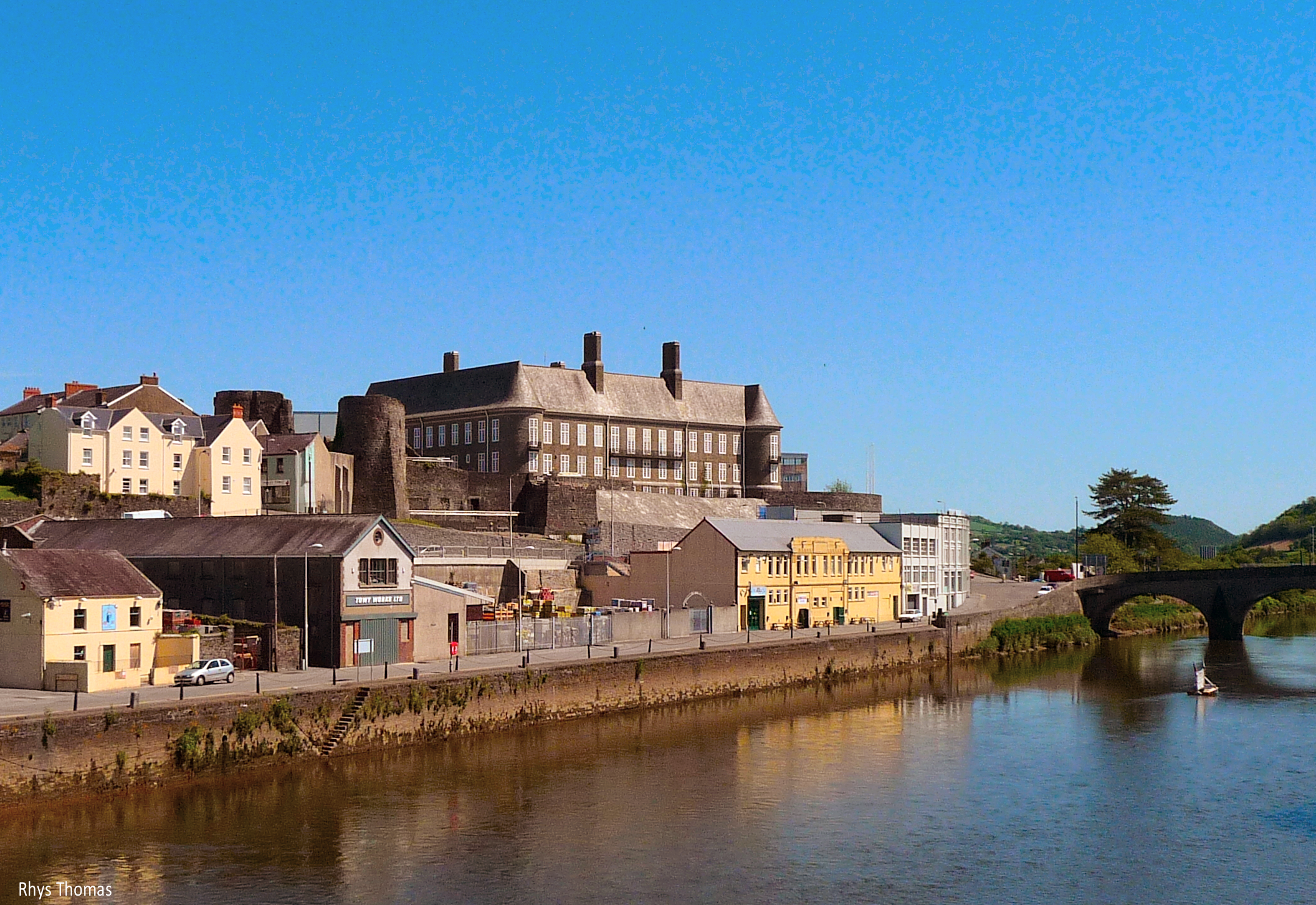
Strata Florida Abbey
Strata Florida Abbey (Welsh: Abaty Ystrad Fflur; ) is a former Cistercian abbey situated just outside Pontrhydfendigaid, near Tregaron in the county of...

Ffair Rhos
Ffair Rhos (also known as Ffair-rhos) is a small village in the community of Ystrad Fflur, Ceredigion, Wales, which is 63.2 miles (101.8 km) from Cardiff...
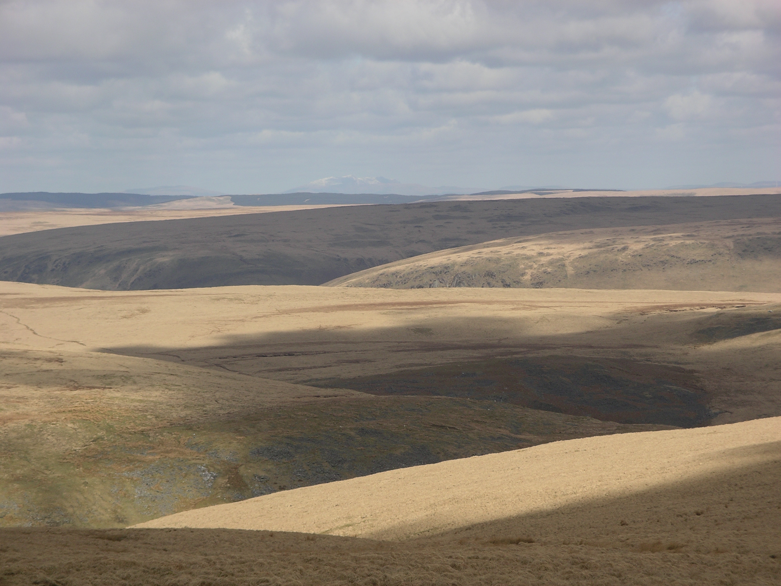
Desert of Wales
The Desert of Wales, or Green Desert of Wales, is an archaic term for an area in central Wales, so called for its lack of roads and towns, and its inaccessibility...

Pontrhydfendigaid
Pontrhydfendigaid (Welsh pronunciation: [pɔntˌr̥ɨ̞dvɛnˈdɪɡaɪ̯d]) is a village in Ceredigion, Wales. It lies on the western flank of the Cambrian Mountains...

Claerwen
The Claerwen reservoir and dam in Powys, Wales, were the last additions to the Elan Valley Reservoirs system built to provide water for the increasing...
Nearby Amenities
Located within 500m of 52.285459,-3.7815847Have you been to Bryn Eithinog?
Leave your review of Bryn Eithinog below (or comments, questions and feedback).