Barbain Hill

Hill, Mountain in Kirkcudbrightshire

Scotland

Barbain Hill

A712 to Corsock
A712 to Corsock Credit: Billy McCrorie

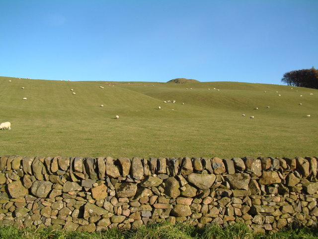
Bargain Hill is a prominent hill located in Kirkcudbrightshire, Dumfries and Galloway, in southwestern Scotland. It stands at an elevation of approximately 260 meters (850 feet) above sea level and offers stunning panoramic views of the surrounding countryside.

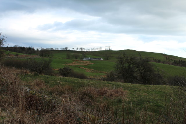
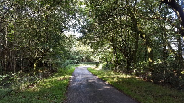
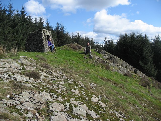
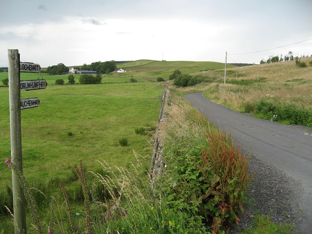
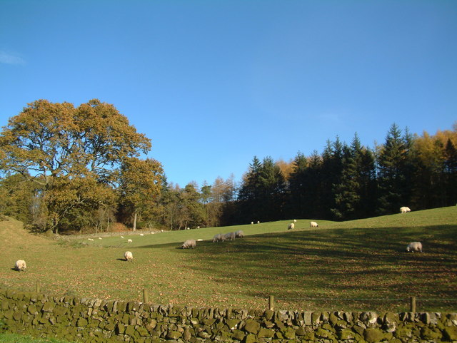
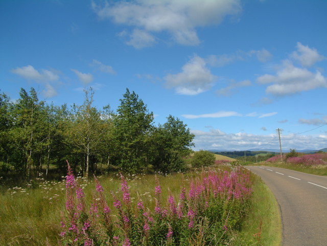
The hill is characterized by its rugged terrain, covered in heather and grasses, which adds to its natural beauty. It is a popular destination for hikers and nature enthusiasts who are drawn to its scenic landscapes and peaceful atmosphere. The hill is accessible via various paths and trails that wind their way up its slopes.

At the summit of Bargain Hill, visitors are rewarded with breathtaking views of the surrounding area, including the nearby town of Kirkcudbright, the rolling hills, and the sparkling waters of the Solway Firth. On clear days, it is even possible to catch a glimpse of the distant mountains of the Lake District in England.

The hill is also known for its rich biodiversity, providing a habitat for various plant and animal species. Visitors may encounter a range of wildlife, including birds, rabbits, and sometimes even deer.

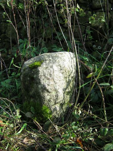
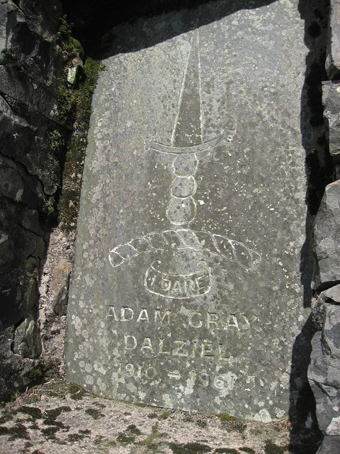
In addition to its natural attractions, Bargain Hill also holds historical significance. It is believed that the hill was once a fortification site, with the remains of an Iron Age hillfort still visible in some areas.

Overall, Bargain Hill in Kirkcudbrightshire offers a combination of natural beauty, recreational opportunities, and historical interest, making it a must-visit destination for those exploring the region.

If you have any feedback on the listing, please let us know in the comments section below.

Barbain Hill Images

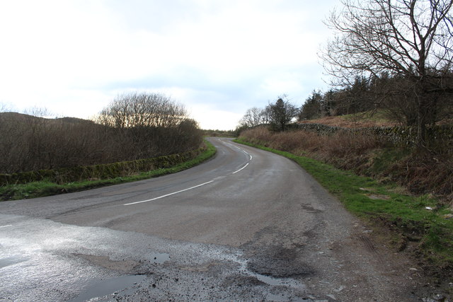
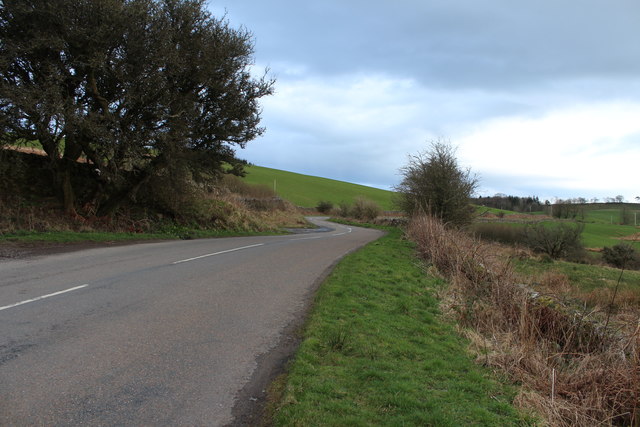
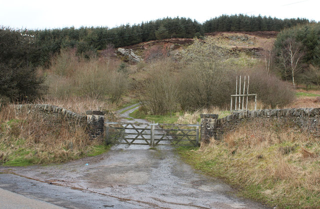
Images are sourced within 2km of 55.036619/-3.9073021 or Grid Reference NX7873. Thanks to Geograph Open Source API. All images are credited.

A712 to Corsock
A712 to Corsock
A712 to Crocketford
A712 to Crocketford
Farmland at Townhead Cottage
Track at Crofts Hill
Road through the trees A minor road north of Kirkpatrick Durham.
Road through the trees
A minor road north of Kirkpatrick Durham.
Old Milestone by the A712, Crofts Farm, Kirkpatrick Durham parish Milestone by the A712, in parish of Kirkpatrick Durham (Stewartry District), North of Crofts Farm, on verge.

Inscription once read:-
(Dumfries)
(12)

Surveyed

Milestone Society National ID: DG_DFNG12
Old Milestone by the A712, Crofts Farm, Kirkpatrick Durham parish
Milestone by the A712, in parish of Kirkpatrick Durham (Stewartry District), North of Crofts Farm, on verge. Inscription once read:- (Dumfries) (12) Surveyed Milestone Society National ID: DG_DFNG12
View towards Craigadam
Making tracks
Making tracks
Memorial Inscription in "Kings Chair" The inscription in the "Kings Chair". 
The motto is "I dare" and the inscription:
Adam Gray Dalziel 1910 - 1961

Adam is apparently buried in Tinwald Churchyard <span class="nowrap"><a title="http://homepages.rootsweb.ancestry.com/~scottish/indextinwaldchrh.html" rel="nofollow ugc noopener" href="http://homepages.rootsweb.ancestry.com/~scottish/indextinwaldchrh.html">Link</a><img style="margin-left:2px;" alt="External link" title="External link - shift click to open in new window" src="https://s1.geograph.org.uk/img/external.png" width="10" height="10"/></span>
Memorial Inscription in "Kings Chair"
The inscription in the "Kings Chair". The motto is "I dare" and the inscription: Adam Gray Dalziel 1910 - 1961 Adam is apparently buried in Tinwald Churchyard LinkExternal link
Kings Chair Kings Chair memorial. It offers a seat and a magnificent outlook. The inscription is shown in <a href="https://www.geograph.org.uk/photo/2900283">NX7973 : Memorial Inscription in "Kings Chair"</a>
Kings Chair
Kings Chair memorial. It offers a seat and a magnificent outlook. The inscription is shown in NX7973 : Memorial Inscription in "Kings Chair"
Signpost: Lochenkit, Drumhumphry, Auchenhay Signpost on the minor road at its junction with the A712
Signpost: Lochenkit, Drumhumphry, Auchenhay
Signpost on the minor road at its junction with the A712
Approaching Crofts Farm
Sheep behind a drystone dyke
Fireweed
Fireweed
Last rusting place
Last rusting place
Road to Culfad
Road to Culfad
Barbain
Barbain
Cairn on Wall Hill Prominent cairn on the top of Wall Hill. There are no markings or inscriptions on it.
Cairn on Wall Hill
Prominent cairn on the top of Wall Hill. There are no markings or inscriptions on it.
Show me another place!

Barbain Hill is located at Grid Ref: NX7873 (Lat: 55.036619, Lng: -3.9073021)

Unitary Authority: Dumfries and Galloway

Police Authority: Dumfries and Galloway

What 3 Words

///angel.earphones.mixture. Near Castle Douglas, Dumfries & Galloway

Nearby Locations

Barbain Hill Crofts Moss

Related Wikis

Glenlair House

Glenlair, near the village of Corsock in the historical county of Kirkcudbrightshire, in Dumfries and Galloway, was the home of the physicist James Clerk...

Kirkpatrick Durham

Kirkpatrick Durham (Scottish Gaelic: Cill Phàdraig) is a village and parish in the historical county of Kirkcudbrightshire, Dumfries and Galloway, south...

Kilquhanity School

Kilquhanity School was one of several free schools to have been established in the United Kingdom in the twentieth century. Others include Sands School...

Springholm

Springholm is a village in the historical county of Kirkcudbrightshire in Dumfries and Galloway, Scotland. It is located 14 miles (23 km) west of Dumfries...

Nearby Amenities

Located within 500m of 55.036619,-3.9073021
Power: pole
Lat/Long: 55.0394815/-3.9127377
Power: pole
Lat/Long: 55.0395217/-3.9116733
Power: pole
Lat/Long: 55.0395119/-3.910985
Power: pole
Lat/Long: 55.0395667/-3.910558
Power: pole
Lat/Long: 55.0398747/-3.9097889
Power: pole
Lat/Long: 55.0402496/-3.9088499
Power: pole
Lat/Long: 55.0406209/-3.9079024
Power: pole
Lat/Long: 55.0391553/-3.9110785
Power: pole
Lat/Long: 55.0387/-3.9111146
Power: pole
Lat/Long: 55.032508/-3.9090804
Power: pole
Lat/Long: 55.0333237/-3.9091144
Power: pole
Lat/Long: 55.0342149/-3.9091102
Power: pole
Lat/Long: 55.0347653/-3.9078589
Power: pole
Lat/Long: 55.0351122/-3.9070749
Power: pole
Lat/Long: 55.0354324/-3.9063186
Power: pole
Lat/Long: 55.035945/-3.9051268
Power: pole
Lat/Long: 55.0362554/-3.9043854
Power: pole
Lat/Long: 55.0391869/-3.9095839
Power: pole
Lat/Long: 55.0387645/-3.9085111
Power: pole
Lat/Long: 55.0383128/-3.9073426
Power: pole
Lat/Long: 55.037989/-3.9065353
Power: pole
Lat/Long: 55.0375702/-3.905454
Power: pole
Lat/Long: 55.0369165/-3.9049207
Power: pole
Lat/Long: 55.035587/-3.9038479
Man Made: cairn
Lat/Long: 55.0349081/-3.9136504
The data included in this document is from www.openstreetmap.org. The data is made available under ODbL.

Have you been to Barbain Hill?

Leave your review of Barbain Hill below (or comments, questions and feedback).